Plizio Visual Lab
San Ignacio (Cayo Capital)
ℹ️Practical info — San Ignacio (Cayo Capital)
▾
🌤 Weather — 5 days
📍 Nearby
Sights nearby
💡 Tips
- Book tours to the ATM Cave (Actun Tunichil Muknal) well in advance as daily tickets are strictly limited.
- Pay easily with US Dollars; they are accepted everywhere at a fixed 1:2 ratio to the Belize Dollar.
- Use taxis for trips to the Mayan ruins, as the downtown area is quite hilly.
- Ask locals about current river conditions before taking a swim in the Macal River.
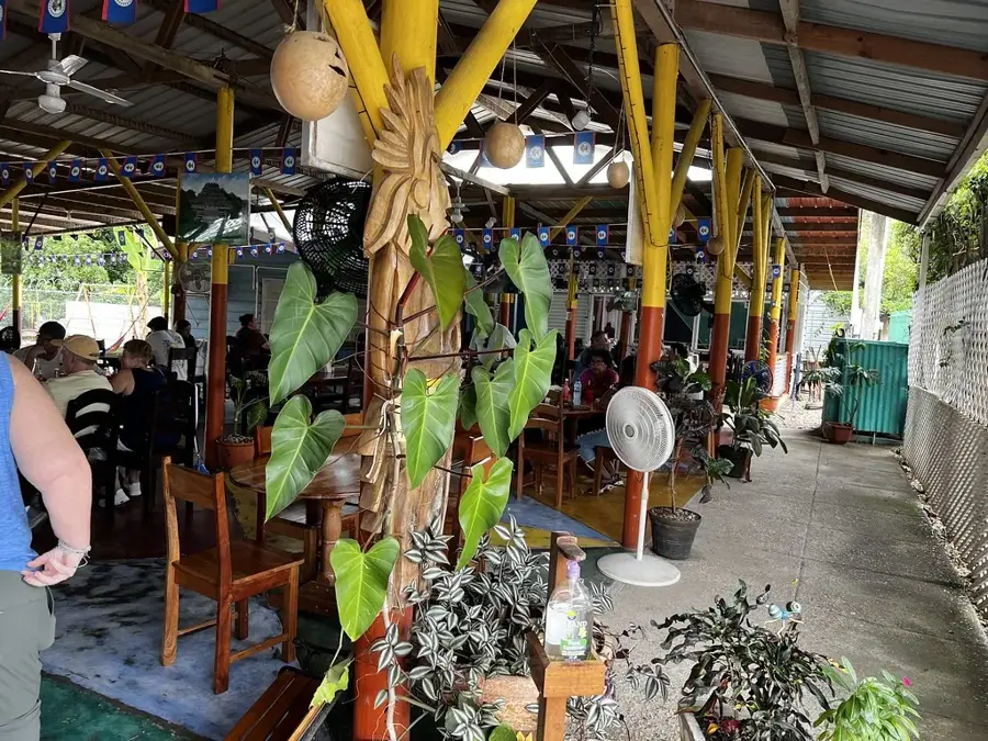
🍽 Food
Deep-fried dough pieces, the ultimate breakfast at local diners on Burns Avenue.
The classic Belizean national dish, served excellently at the farmers market food stalls.
Steamed in plantain leaves; keep an eye out for local street vendors selling them.
🛍 Shopping · 🧘 Quiet spots
The great place to find fresh spices, tropical fruits, and handmade souvenirs.
The famous Belizean carrot-habanero sauce, available in every local grocery store.
Located right on the edge of town, these ruins are shaded by trees and often wonderfully quiet.
The confluence of the Macal and Mopan rivers, a peaceful spot for a picnic.
Water temperature…
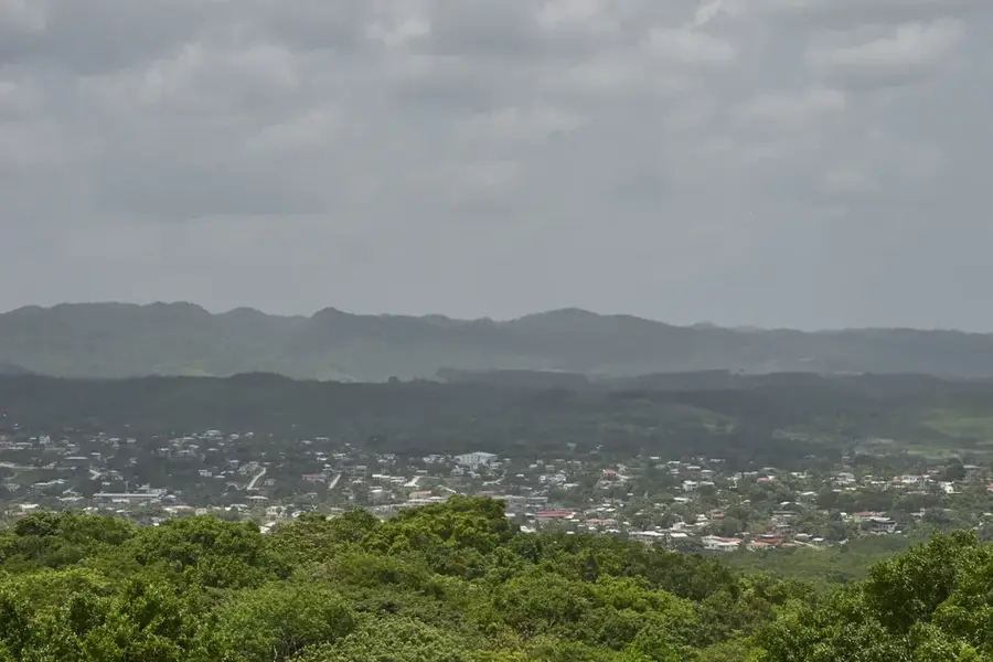
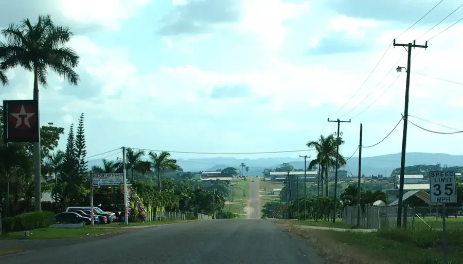
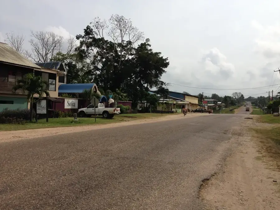
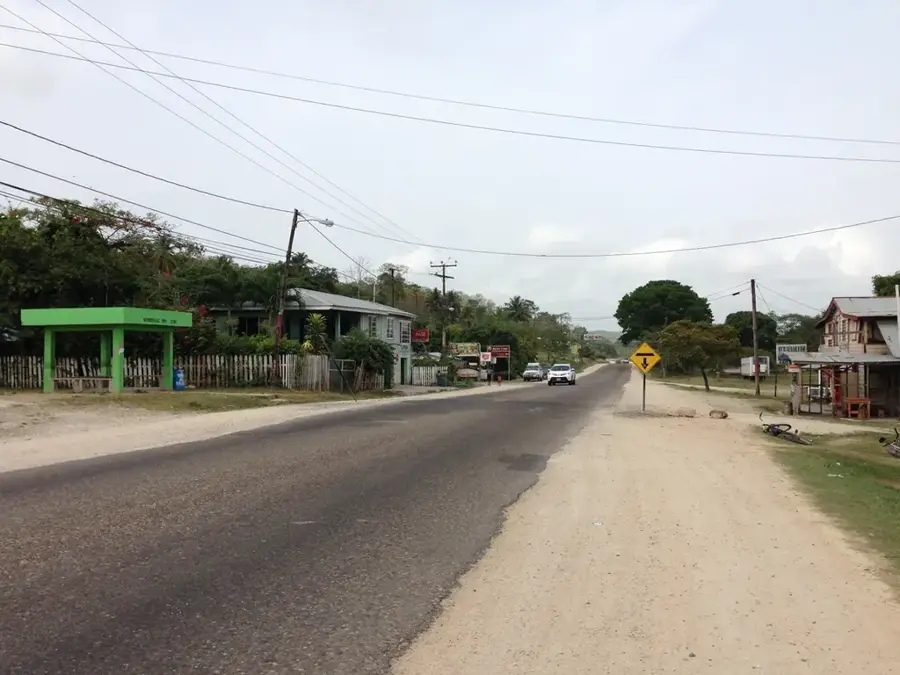
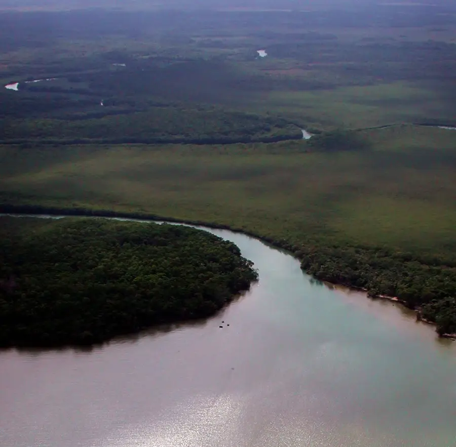
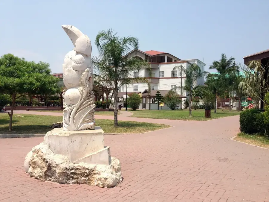
San Ignacio serves as the cultural and economic heart of the Cayo District in western Belize, positioned at the confluence of the Macal and Mopan rivers. Known as the 'Twin Towns' alongside its neighbor Santa Elena, it is the second-largest urban area in the country. The town's history is deeply rooted in the forestry industry, particularly the extraction of mahogany and chicle during the 19th and early 20th centuries. Today, it has reinvented itself as the premier destination for adventure tourism and Maya archaeology. The hilltop site of Cahal Pech, dating back to 1200 BCE, provides a memorable backdrop to the town, while the massive ruins of Xunantunich are located just a few miles away. The demographic profile of San Ignacio is exceptionally diverse, featuring a harmonious blend of Mestizo, Maya, Creole, and Lebanese communities. This multiculturalism is evident in the town's bustling street life, particularly along Burns Avenue, which is lined with colorful cafes and shops. Economically, the town is a vital hub for the surrounding agricultural villages, with a focus on cattle ranching and citrus production. The San Ignacio Market is a central point of commerce, attracting people from across the district every Saturday. Geographically, the area is characterized by rugged limestone terrain and dense broadleaf forests, housing extensive cave systems like the famous Actun Tunichil Muknal. The climate is tropical, with a dry season from February to May and a wet season that brings life to the surrounding jungle. San Ignacio gives a unique mix of small-town charm and international flair, making it an essential stop for anyone exploring the interior of Central America.
- Location: Belize
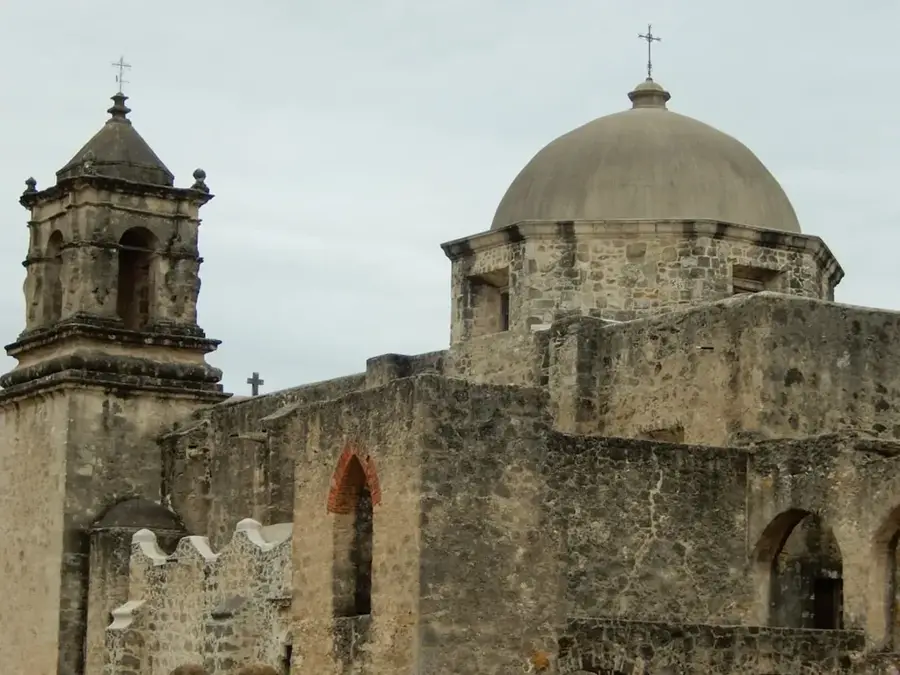
- Top sights: Hawkesworth Bridge · Cahal Pech · Cahal Pech Village Resort
- Nearby: Cristo Rey (Cayo) (6 km)
- Population: ~12.621 (2025)
Best time to visit & climate
The most pleasant time to visit is Jan–Mar.
| Jan | Feb | Mar | Apr | May | Jun | Jul | Aug | Sep | Oct | Nov | Dec | |
|---|---|---|---|---|---|---|---|---|---|---|---|---|
| Avg °C | 21 | 22 | 24 | 26 | 26 | 25 | 25 | 25 | 25 | 24 | 22 | 22 |
| Rain mm | 110 | 66 | 58 | 40 | 127 | 240 | 175 | 197 | 225 | 251 | 200 | 137 |
Geography
Facts
- San Ignacio was officially established in its modern form in the late 19th century.
- The town is the primary transit point for travelers going to the Tikal ruins in Guatemala.
- The Hawkesworth Bridge was imported from England and completed in 1949.
- The Macal River Valley is home to over 300 species of tropical birds.
- Cayo District, where San Ignacio is located, covers 5,338 square kilometers.
- The city hosts the annual 'La Ruta Maya' river challenge, a major canoe race.
- San Ignacio's population growth rate is among the highest in Belize.
- The town features a mix of traditional limestone architecture and modern concrete builds.
Explore nearby
Notable places around
Route planner — Car & Motorhome
Where do you start? We build the route here, with stops and country notes along the way.
© OpenStreetMap contributors · OpenRouteService
Sights in the town San Ignacio (Cayo Capital) (3)
Frequently asked questions
What is the main attraction in San Ignacio?
Can you take day trips to the ATM cave?
When is the weekly market held?
What is the nightlife like in San Ignacio?
Is the city safe for solo travelers?
San Ignacio (Cayo Capital): where is it located?
San Ignacio (Cayo Capital): what is there to see?
San Ignacio (Cayo Capital): when is the best time to visit?
San Ignacio (Cayo Capital): why is it worth visiting?

Nearby cities