Plizio Visual Lab
Yoro
ℹ️Practical info — Yoro
▾
🌤 Weather — 5 days
📍 Nearby
Sights nearby
💡 Tips
- The famous 'Lluvia de Peces' (rain of fish) typically happens between May and July after heavy storms. Ask locals about recent occurrences.
- The town is relatively small, making it first-rate for exploring on foot. Bring an umbrella during the rainy season.
- Public transport schedules from San Pedro Sula can be irregular; check return times upon arrival.
- There are few tourist facilities; carrying cash is essential as card payments are rare.
🍽 Food
Enjoy local fried fish dishes in the small eateries surrounding the central park.
A classic Honduran street food found at morning stalls.
Try locally brewed coffee at a bakery in town.
🛍 Shopping · 🧘 Quiet spots
Look for handmade items and souvenirs in small shops near the market.
The local market has fresh tropical fruits and basic goods.
A peaceful spot to relax under the shade of the trees.
Walk towards the outskirts for calm views of the agricultural landscape.
Water temperature…
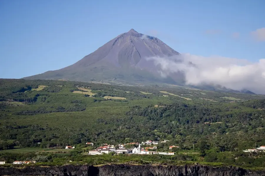
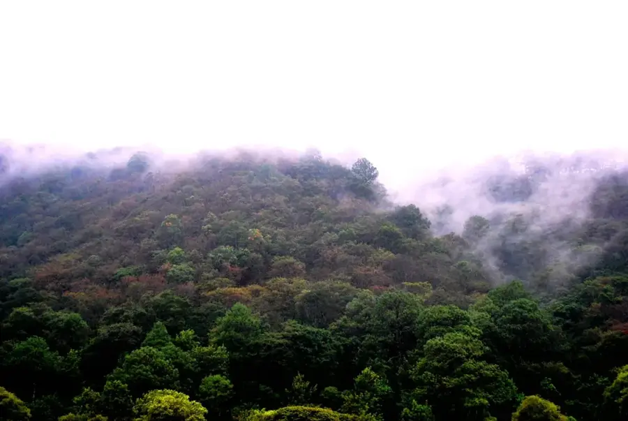
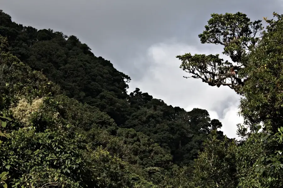
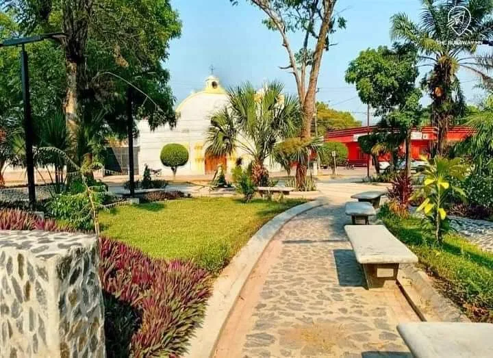
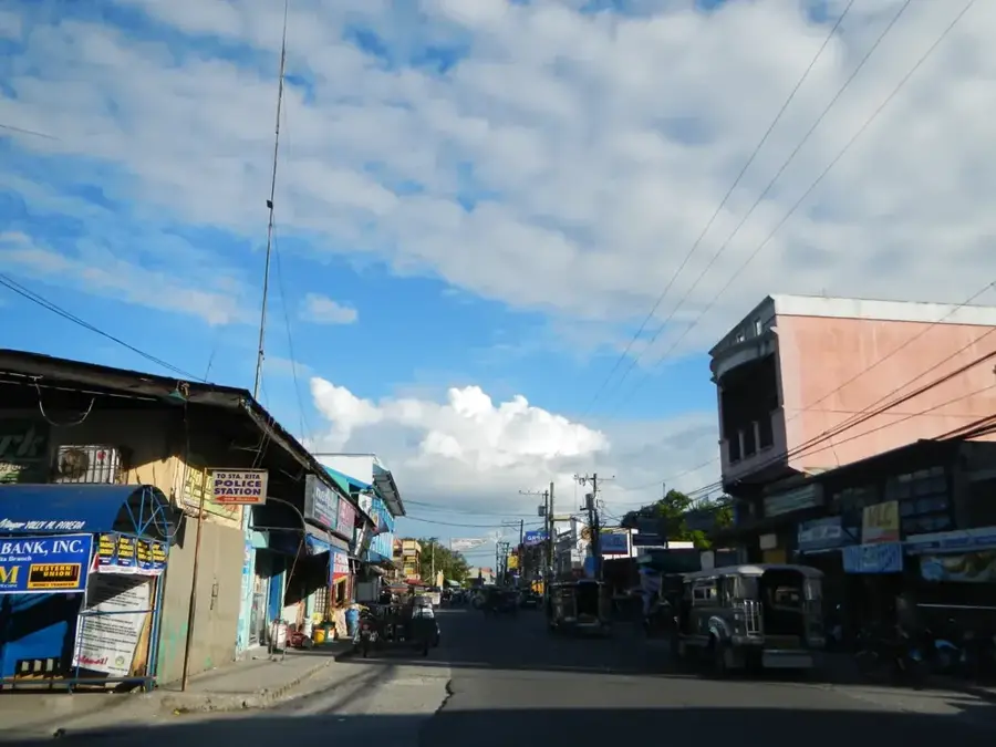
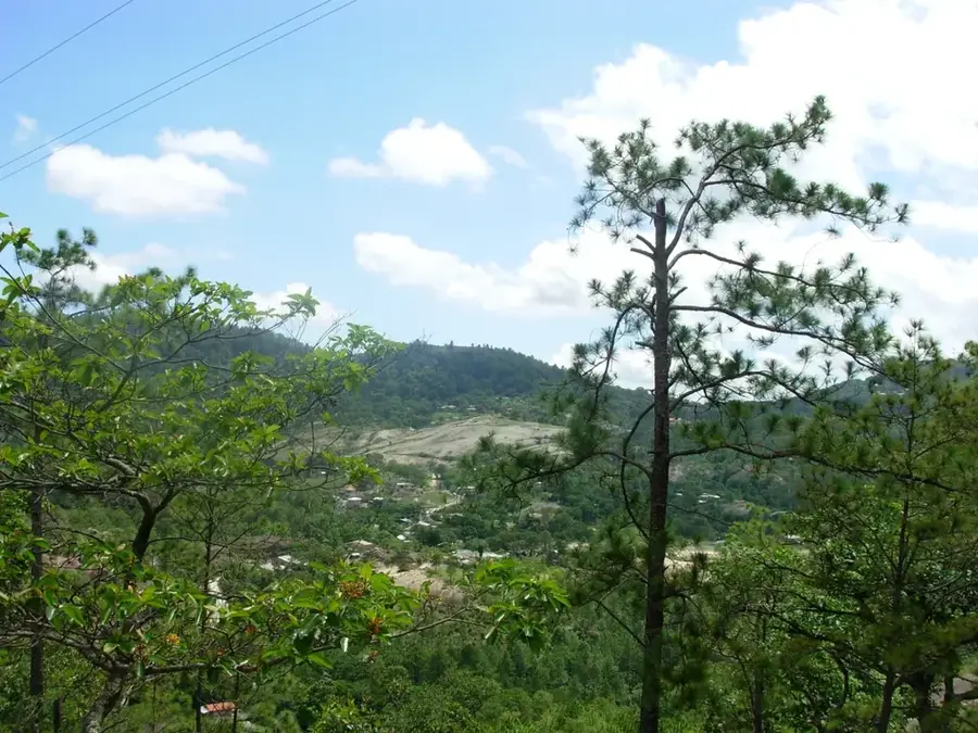
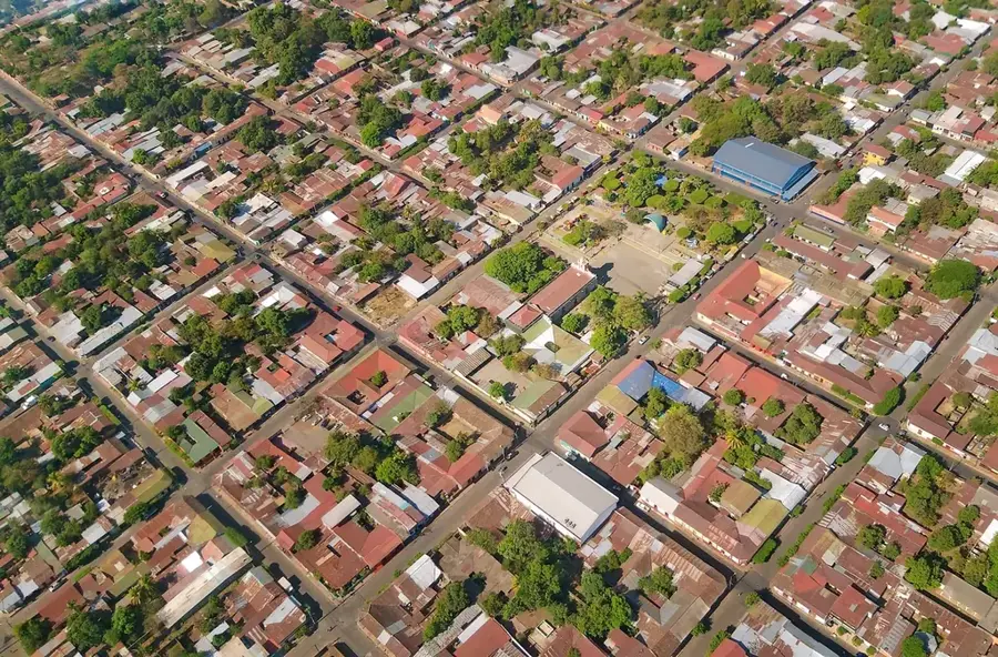
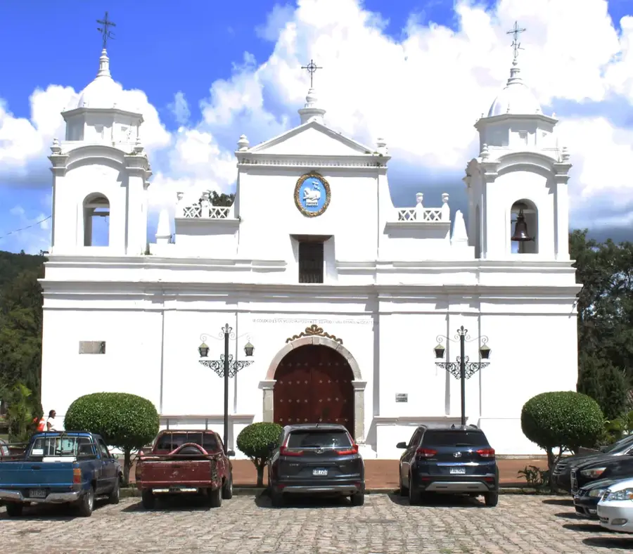
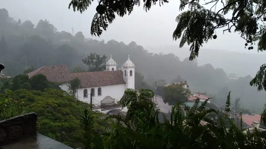
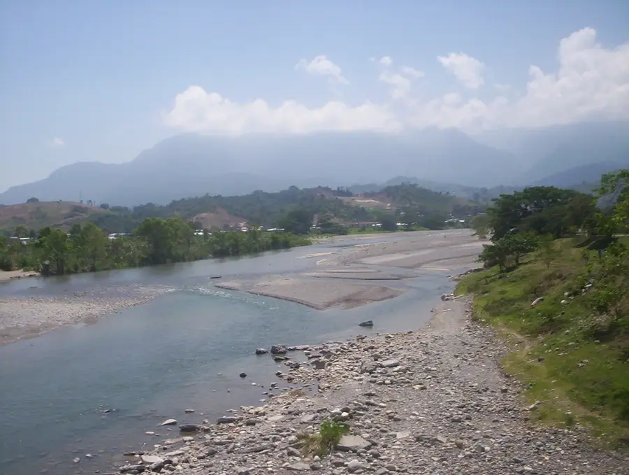
Yoro is the capital of the Yoro department in northern Honduras, a city uniquely famous for its blend of natural wonders and folklore. Set in a verdant valley surrounded by the Sulaco and Yoro mountain ranges, it serves as the political and administrative heart of one of the country's most agriculturally productive regions. The city gained international notoriety for the 'Lluvia de Peces' or 'Rain of Fish,' a meteorological phenomenon where, according to local tradition and numerous accounts, hundreds of small fish are found on the ground following massive rainstorms. This event is honored every year with a festival that showcases the deep spiritual and cultural connection the 'Yoreños' have with their land. Historically, Yoro was consolidated during the 18th century and has since been a key center for the timber and cattle industries. The city's layout is centered around its traditional park and the Church of Santiago Apóstol, reflecting a classic Spanish colonial influence adapted to the local environment. Economically, Yoro is a vital producer of basic grains, coffee, and citrus fruits, benefiting from the fertile alluvial soils of the surrounding valley. It is also an area of significant indigenous heritage, being home to communities of the Tolupan people, who represent some of the most preserved indigenous cultures in Honduras. The local cuisine is deeply rooted in maize-based dishes and fresh river fish, mirroring the region's diverse resources. Geographically, the city is a gateway to the Montaña de Yoro National Park, which gives critical habitats for diverse flora and fauna, including several endemic bird species. The climate is tropical, with significant rainfall that supports the lush pine and broadleaf forests of the highlands. Yoro remains a tranquil but essential urban center, providing education and health services to the vast rural interior of the department. Its people are known for their resilience and their unwavering belief in the legends that make their city a point of fascination for the world.
- Location: Honduras
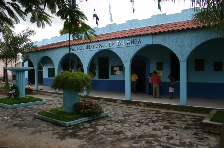
- Nearby: Talanga (7 km)
- Population: ~15.774 (2025)
Best time to visit & climate
The most pleasant time to visit is Feb–Apr.
| Jan | Feb | Mar | Apr | May | Jun | Jul | Aug | Sep | Oct | Nov | Dec | |
|---|---|---|---|---|---|---|---|---|---|---|---|---|
| Avg °C | 19 | 21 | 22 | 25 | 25 | 23 | 23 | 23 | 23 | 22 | 20 | 20 |
| Rain mm | 86 | 57 | 48 | 39 | 106 | 151 | 115 | 120 | 147 | 177 | 145 | 103 |
Geography
Facts
- Capital of the Yoro department, established as a municipality in 1824.
- Coordinates: 15.1389° N, 87.1292° W.
- The 'Rain of Fish' phenomenon is officially documented since the 1850s.
- A major producer of corn, beans, and livestock for the domestic market.
- The region is a stronghold of the indigenous Tolupan people.
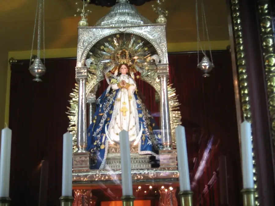
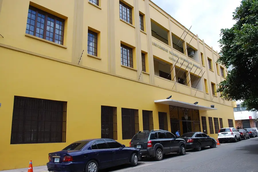
- Home to the Santiago Apóstol Church, a key historical site.
- The city acts as a hub for the northern timber industry.
- Located near the headwaters of several major Honduran rivers.
Explore nearby
Notable places around
Route planner — Car & Motorhome
Where do you start? We build the route here, with stops and country notes along the way.
© OpenStreetMap contributors · OpenRouteService
Frequently asked questions
What is the 'Lluvia de Peces' phenomenon?
When does the fish rain usually happen?
What can you do in Yoro?
What are the surroundings of Yoro like?
Are there hotels for tourists there?
Yoro: where is it located?
Yoro: when is the best time to visit?
Yoro: why is it worth visiting?

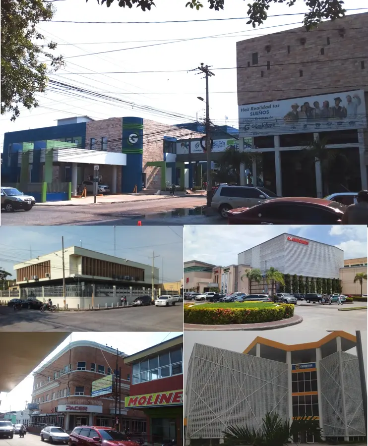
Nearby cities

History & landmarks
Nature
More places