Plizio Visual Lab
Ulúa River

Weather…
Water temperature…
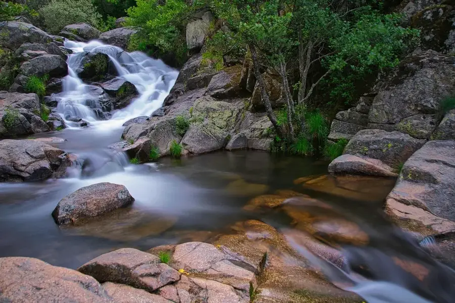
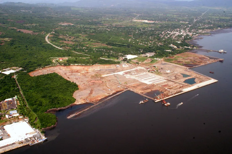
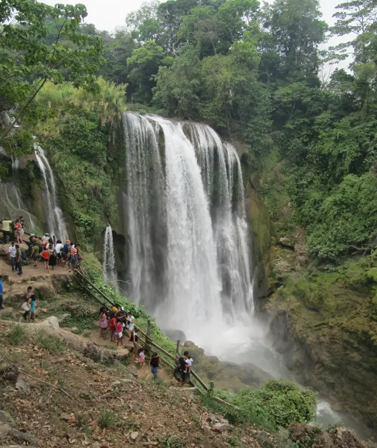
The Ulúa River is the most economically vital river in Honduras, draining a vast portion of the country's western and central regions. Originating in the mountains of Intibucá, it flows northward for approximately 400 kilometers before emptying into the Gulf of Honduras. Its basin encompasses the fertile Sula Valley, the epicenter of the Honduran banana industry and overall agriculture. Historically, the river served as a major trade route and a lifeline for pre-Columbian cultures. During the rainy season, the Ulúa is prone to massive swells, leading to floods that are both a boon for soil fertility and a significant hazard to local communities. The river also contributes significantly to the nation's hydroelectric power generation.
- Location: Honduras
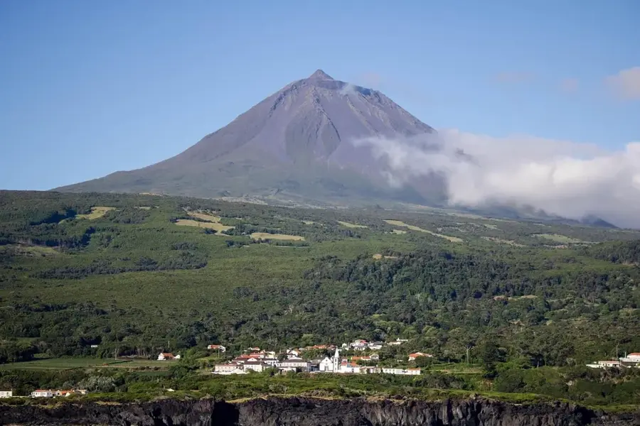
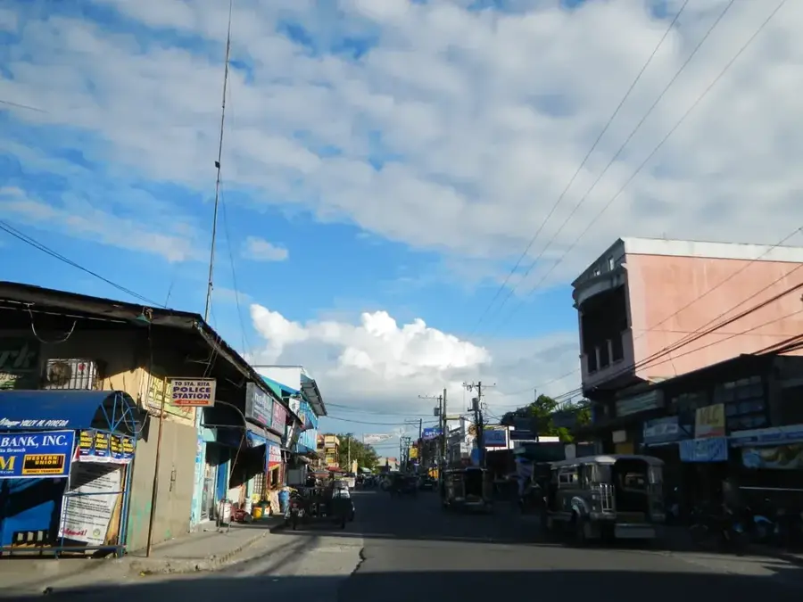
- Nearby: Santa Cruz de Yojoa (4 km)
Best time to visit & climate
The most pleasant time to visit is Feb–Apr.
| Jan | Feb | Mar | Apr | May | Jun | Jul | Aug | Sep | Oct | Nov | Dec | |
|---|---|---|---|---|---|---|---|---|---|---|---|---|
| Avg °C | 24 | 25 | 26 | 27 | 28 | 28 | 28 | 28 | 28 | 27 | 26 | 25 |
| Rain mm | 147 | 106 | 78 | 48 | 107 | 180 | 173 | 163 | 179 | 222 | 226 | 156 |
📋 Practical info
Geography
Facts
- The Ulúa River has a total length of approximately 400 km.
- Its drainage basin covers about 22,000 km².
- It is the river with the highest volume of water in Honduras.
- The Sula Valley relies on it for its agricultural productivity.
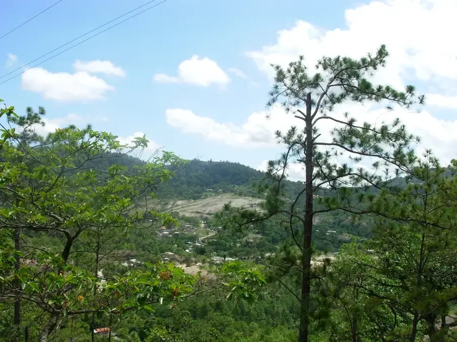
- The source is in the Intibucá mountains at over 2,000 m.
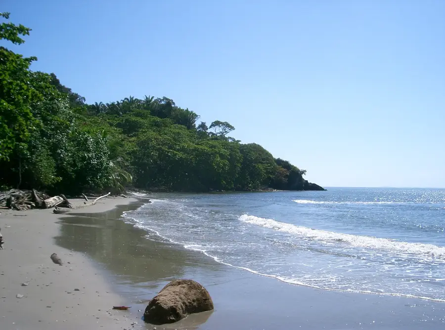
- It flows into the Caribbean Sea east of Puerto Cortés.
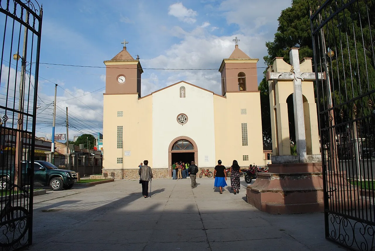
Explore nearby
Notable places around
Route planner — Car & Motorhome
Where do you start? We build the route here, with stops and country notes along the way.
© OpenStreetMap contributors · OpenRouteService
Sights nearby
Frequently asked questions
How long is the Ulúa River?
Is the river navigable?
Which economic sectors depend on the Ulúa River?
Are there recreational activities available?
Is there a risk of flooding?
Ulúa River: where is it located?
Ulúa River: when is the best time to visit?
Ulúa River: why is it worth visiting?

Nearby cities
History & landmarks

Nature
More places