Plizio Visual Lab
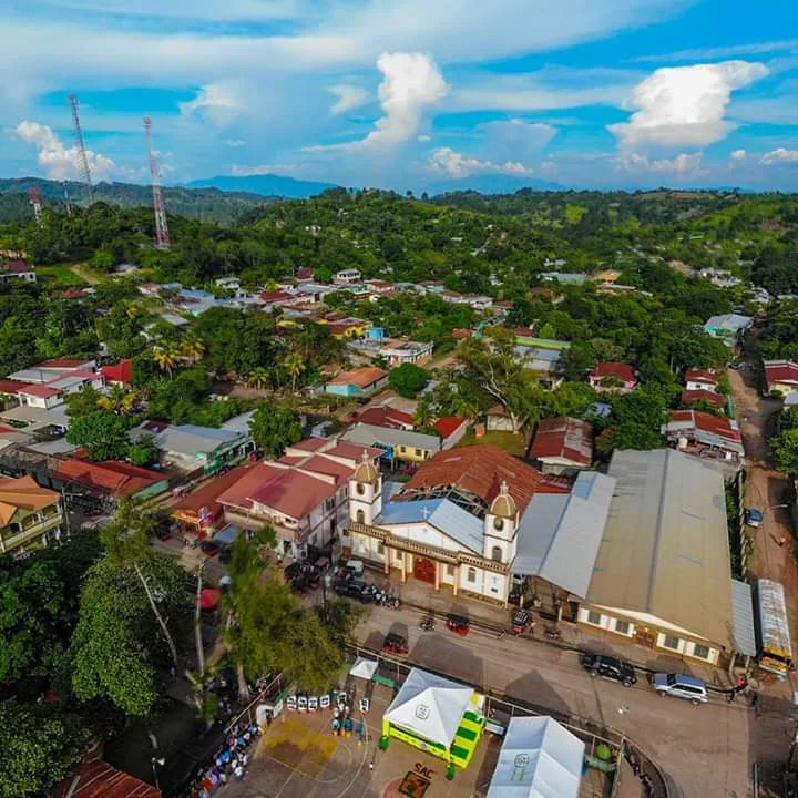
San Antonio de Cortés
ℹ️Practical info — San Antonio de Cortés
▾
🌤 Weather — 5 days
📍 Nearby
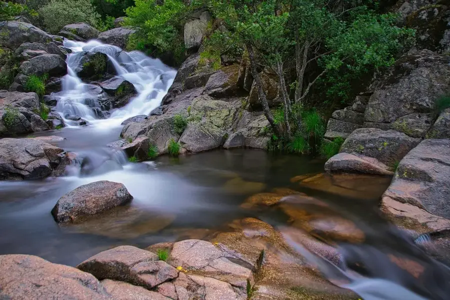
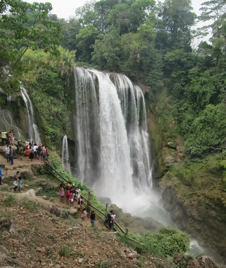
Sights nearby
💡 Tips
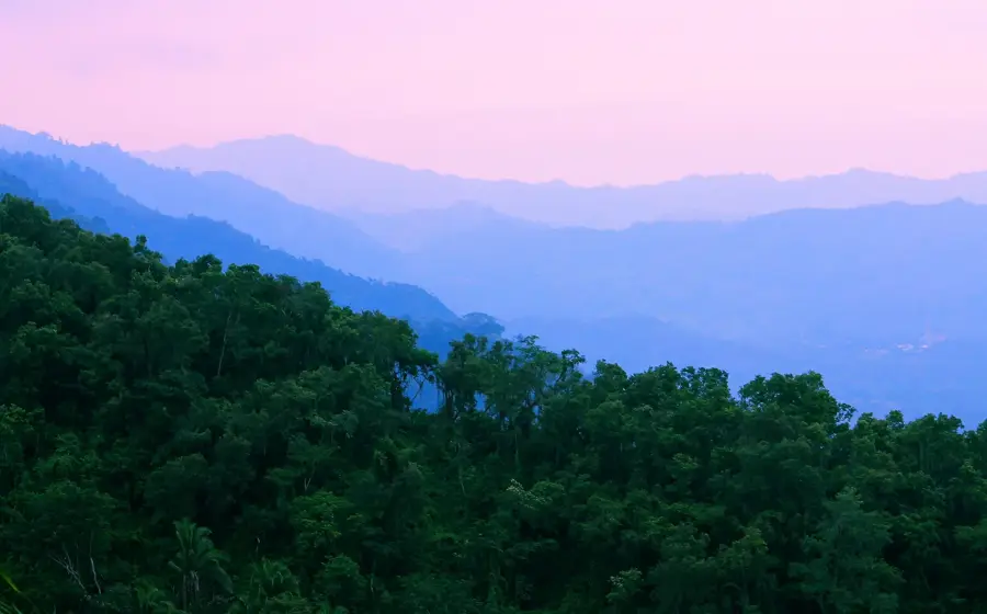
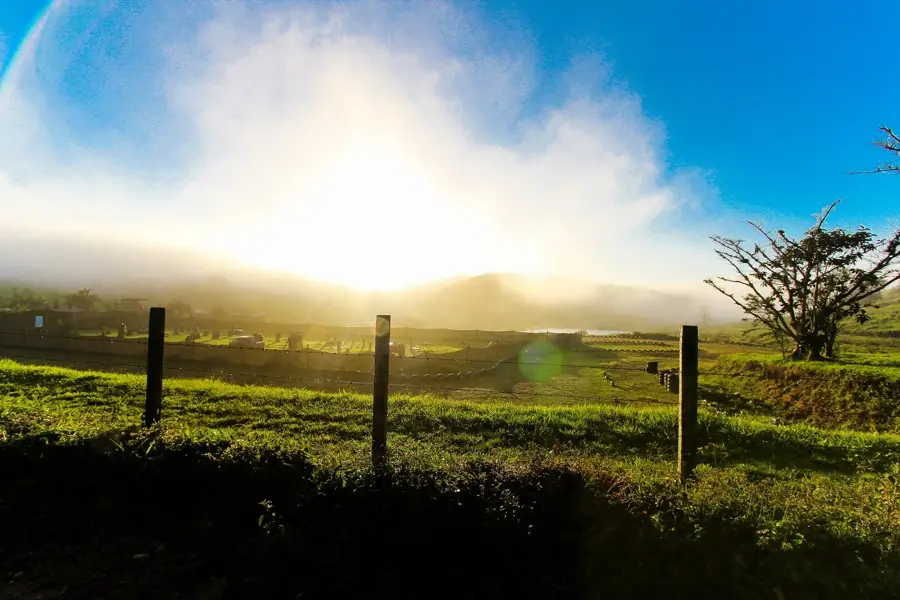
- Located higher up in the mountains, the climate here is much more pleasant than the sweltering Sula Valley below.
- It's a great spot to see the geographical transition from industrial valleys to lush coffee-growing mountains.
- Be prepared for steep, winding mountain roads when driving up to the municipality.
- Local festivals (ferias) often feature traditional rodeos and livestock shows reflecting the local culture.
🍽 Food
Enjoy a robust cup of locally grown mountain coffee at a small café near the town center.
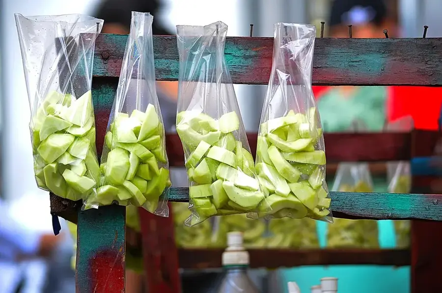
Fresh cheese curds, traditionally eaten for breakfast with warm tortillas and beans.
A rich free-range hen soup, commonly served on weekends at local traditional comedores.
🛍 Shopping · 🧘 Quiet spots
Buy high-quality roasted beans directly from the local farmers in the area.
Pick up sweet breads (pan dulce) from a local bakery to enjoy with your afternoon coffee.
Find spots along the access road offering spectacular panoramic views of the entire Sula Valley.
Quiet dirt paths lead out of town directly into the peaceful surrounding coffee farms.
Water temperature…
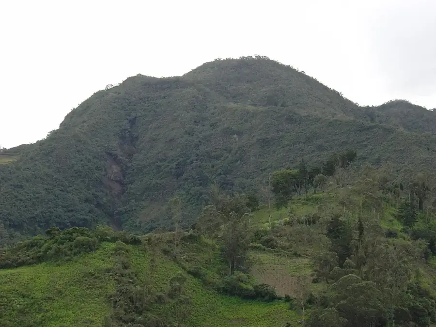
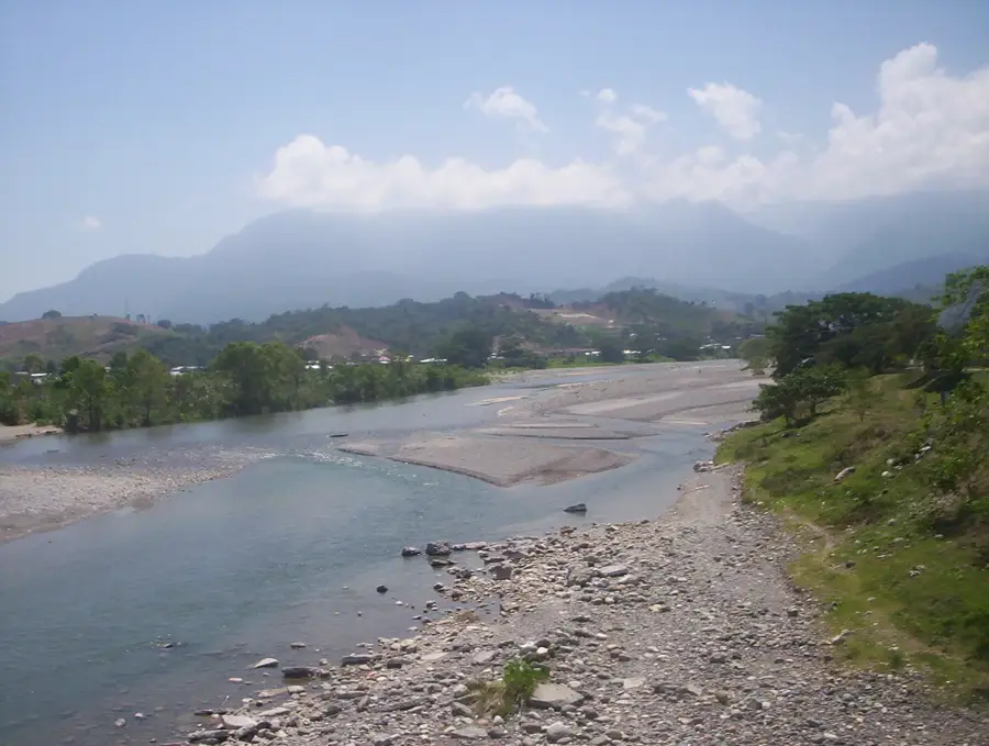
San Antonio de Cortés is a mountain municipality in Cortés Department in northern Honduras, with an economy based on coffee, cattle ranching and corn and bean farming. It lies in a hilly area covered by pine and mixed forests southwest of San Pedro Sula, in the transition zone between the Sula Valley and the western mountains. The higher elevation supports good-quality coffee, processed by local cooperatives and shipped to the market of San Pedro Sula. The townscape is dominated by a central plaza, the parish church and several shops, schools and workshops serving the rural community. The link with San Pedro Sula shapes commuting and supply, while mountain roads connect smaller villages and hamlets in the highlands. San Antonio de Cortés is a strong example of a mountain municipality in the shadow of Honduras's main economic metropolis.
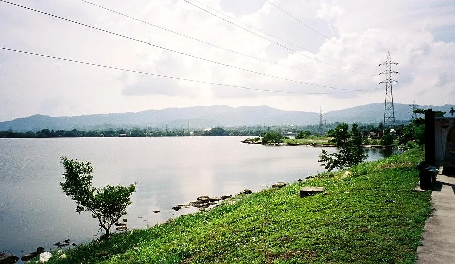
- Location: Honduras
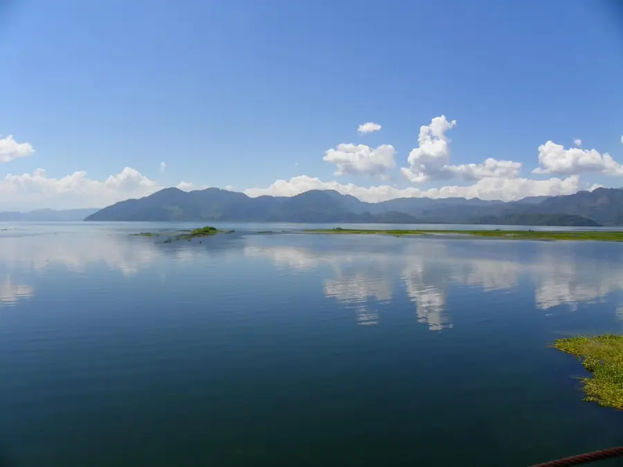
- Nearby: Lago de Yojoa (6 km)
- Population: ~22.884 (2026)
Best time to visit & climate
The most pleasant time to visit is Jan–Mar.
| Jan | Feb | Mar | Apr | May | Jun | Jul | Aug | Sep | Oct | Nov | Dec | |
|---|---|---|---|---|---|---|---|---|---|---|---|---|
| Avg °C | 20 | 22 | 23 | 25 | 25 | 24 | 24 | 24 | 23 | 22 | 21 | 20 |
| Rain mm | 63 | 48 | 39 | 41 | 123 | 184 | 149 | 162 | 200 | 166 | 111 | 70 |
Geography
Facts
- Coffee cultivation
- Livestock farming
- Mountainous landscape
- Rural municipality
Explore nearby
Notable places around
Route planner — Car & Motorhome
Where do you start? We build the route here, with stops and country notes along the way.
© OpenStreetMap contributors · OpenRouteService
Frequently asked questions
What is the economic base of San Antonio de Cortés?
Are there tourist attractions there?
How far is Lake Yojoa?
When is the local patronal festival?
Are there accommodations?
San Antonio de Cortés: where is it located?
San Antonio de Cortés: when is the best time to visit?
San Antonio de Cortés: why is it worth visiting?

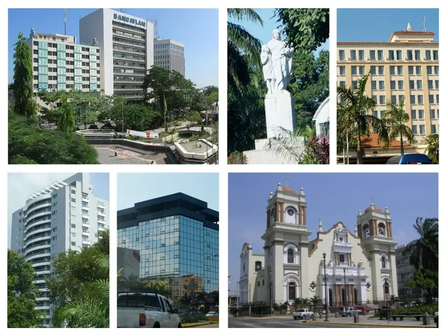
Nearby cities


History & landmarks


Nature
More places