Plizio Visual Lab
Santa Rita
ℹ️Practical info — Santa Rita
▾
🌤 Weather — 5 days
📍 Nearby
Sights nearby
💡 Tips
- Notice the strong Brazilian influence; Portuguese is spoken here almost as frequently as Spanish.
- Visit in May during the 'Expo Santa Rita', one of Paraguay's most significant agricultural and commercial fairs.
- The city is generally very safe, but standard travel precautions should still be followed in busy areas.
- As an agricultural hub, renting a car is the most practical way to explore the vast surrounding farmlands.
- Try Tereré, the cold-brewed yerba mate drink that locals carry with them everywhere.
🍽 Food
Enjoy Brazilian-style grilled meats at local churrascarias, reflecting the city's unique cultural blend.
A traditional Paraguayan cheese bread made with cassava flour; best eaten warm from a local street vendor.
Despite its name, this is a savory cornbread cake with cheese and onions, a must-try local staple.
🛍 Shopping · 🧘 Quiet spots
Santa Rita is a prime location to purchase high-quality local meats and specialty grains.
Explore the main avenues for modern electronics shops and outlets featuring popular Brazilian clothing brands.
The areas near the river outside the city center offer peaceful spots for nature lovers.
The city's well-maintained green squares in the quieter districts are great for an evening stroll.
Water temperature…
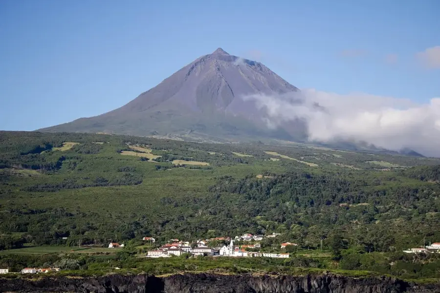
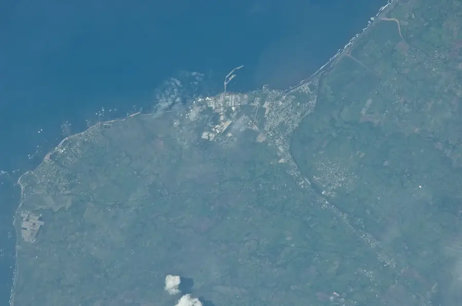
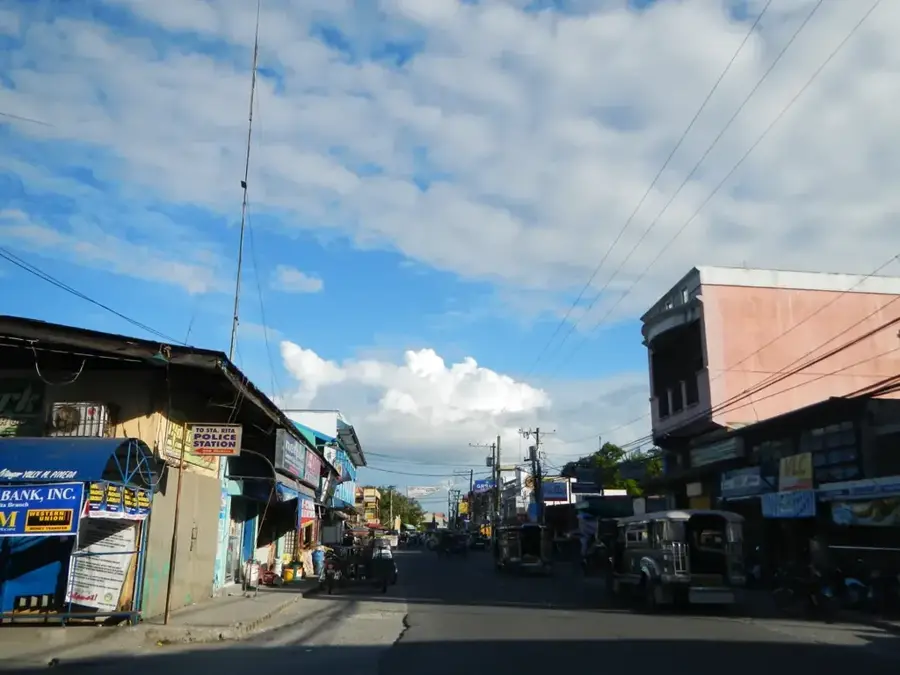
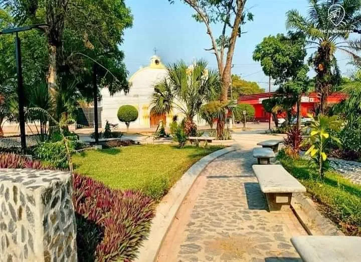
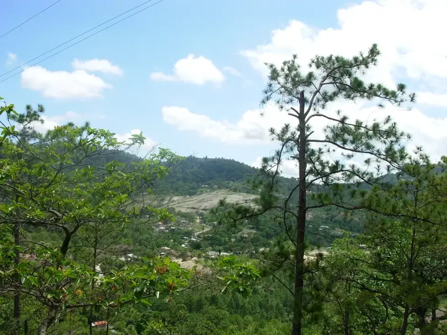
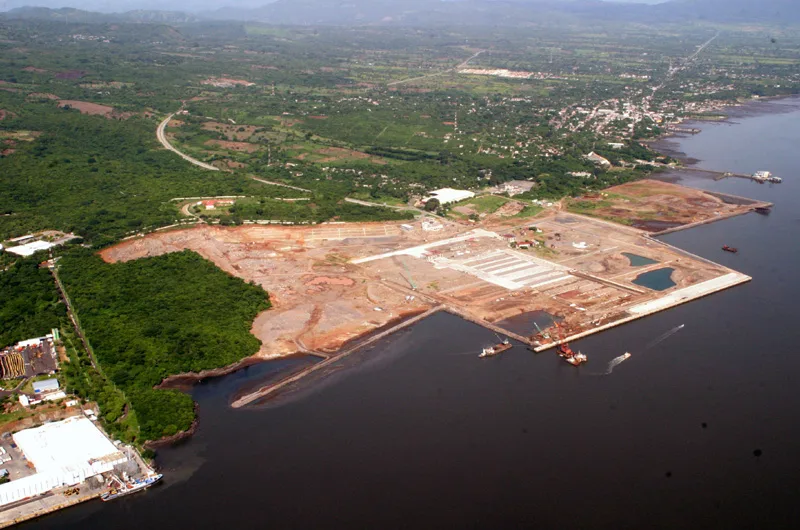
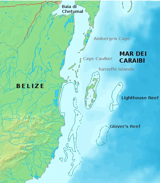
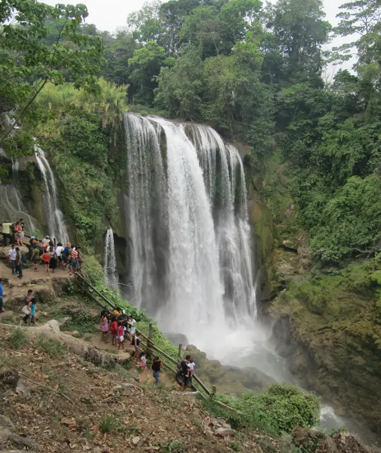
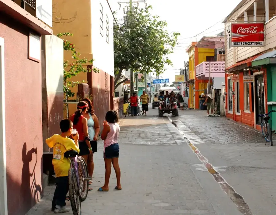
Santa Rita is a strongly agricultural town in Yoro Department in the northern interior of Honduras. It sits in a transition zone between the hot lowland plains of the Sula Valley and the higher mountain ranges of Yoro. Corn, beans, sugarcane, coffee and citrus from surrounding villages are collected, traded and redistributed through its market. The town acts as a commercial and administrative center for many farming families in the area. Its urban fabric is dominated by a rectangular central plaza, simple market halls, small shops and schools. Santa Rita is also linked in popular imagination with the famous "Rain of Fish" phenomenon, which is closely associated with Yoro Department. The town is a textbook example of how a mid-sized rural town organises the link between mountain and lowland economies.
- Location: Honduras
- Nearby: San Manuel (6 km)
- Population: ~21.536 (2026)
Best time to visit & climate
The most pleasant time to visit is Jan–Mar.
| Jan | Feb | Mar | Apr | May | Jun | Jul | Aug | Sep | Oct | Nov | Dec | |
|---|---|---|---|---|---|---|---|---|---|---|---|---|
| Avg °C | 20 | 22 | 23 | 25 | 25 | 24 | 24 | 24 | 23 | 22 | 21 | 20 |
| Rain mm | 63 | 48 | 39 | 41 | 123 | 184 | 149 | 162 | 200 | 166 | 111 | 70 |
Geography
Facts
- Commercial center
- Located on the Humuya River
- Agricultural production
- Transport links
Explore nearby
Notable places around
Route planner — Car & Motorhome
Where do you start? We build the route here, with stops and country notes along the way.
© OpenStreetMap contributors · OpenRouteService
Frequently asked questions
When is the best time to visit Santa Rita?
Are there local specialties?
How many days should I plan?
Is the city family friendly?
What is the best way to get there?
Santa Rita: where is it located?
Santa Rita: when is the best time to visit?
Santa Rita: why is it worth visiting?

Nearby cities
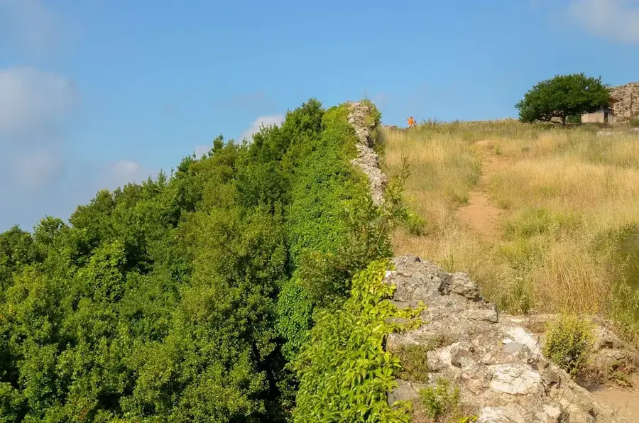
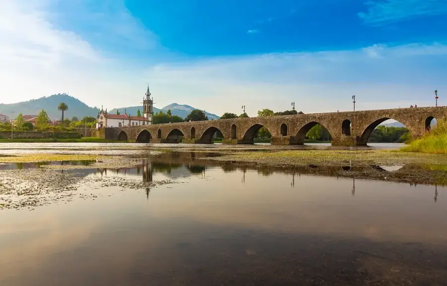
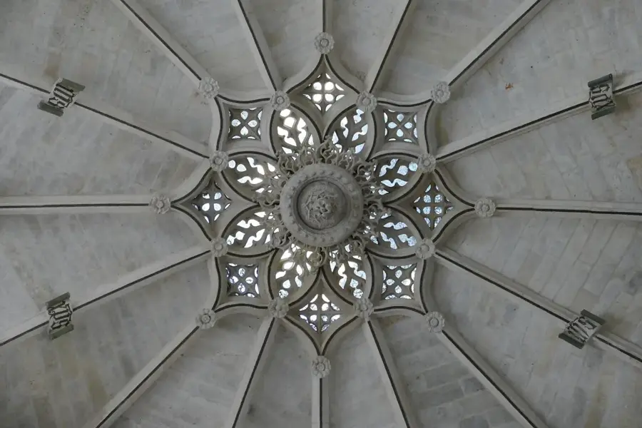

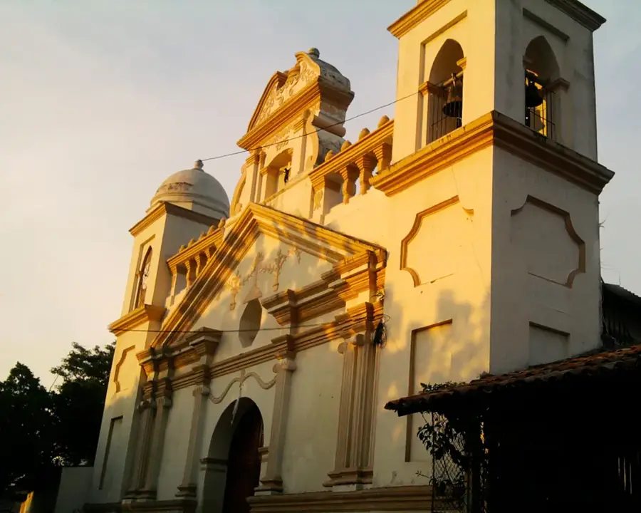
History & landmarks

Nature
More places