Plizio Visual Lab
Siguatepeque
ℹ️Practical info — Siguatepeque
▾
🌤 Weather — 5 days
📍 Nearby
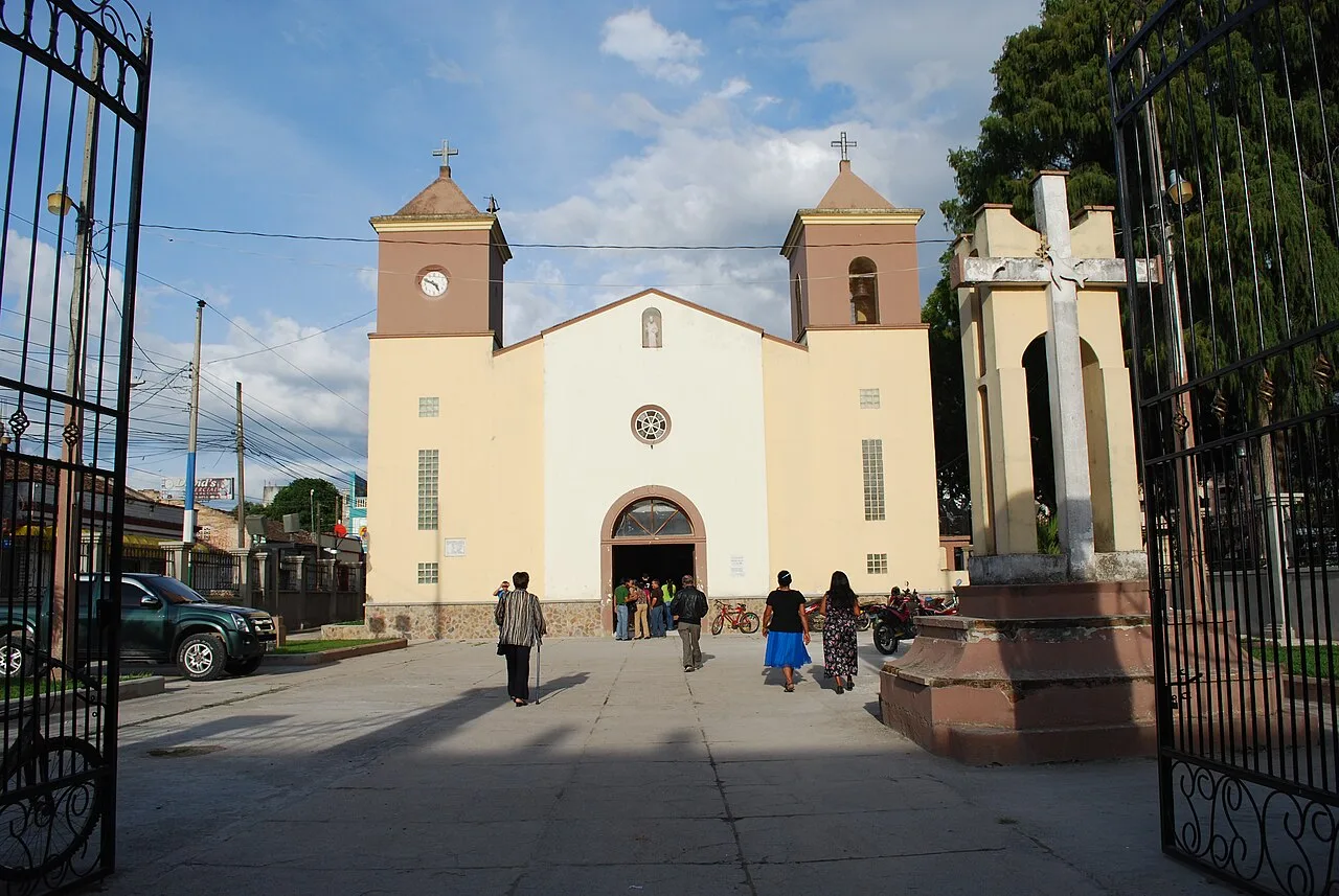
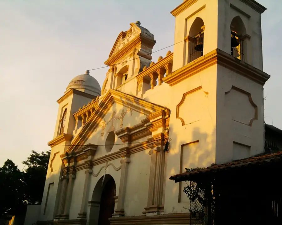
Sights nearby
💡 Tips
- The city is cooler than the coast, so bring a light jacket for the evening.
- It's a major highway stop; the restaurants along CA-5 get busy, but the local market inside the town is quieter.
- Try the local coffee grown in the surrounding highland farms.
- The Flower Festival in spring brings many visitors, so book accommodation in advance if traveling then.
🍽 Food
Visit the large highway diners for fresh dairy products and hearty Honduran buffets.
Look for cafes near the central park serving locally grown and roasted Honduran coffee.
A traditional sweet made from local fruits, often sold by street vendors in the center.
🛍 Shopping · 🧘 Quiet spots
Check out the local artisan shops selling clay pottery and woven baskets.
Buy fresh mountain strawberries and local cheeses in the central market.
Walk in the surrounding hills to enjoy the fresh pine-scented air.
A peaceful place shaded by trees, well-suited for people-watching.
Water temperature…
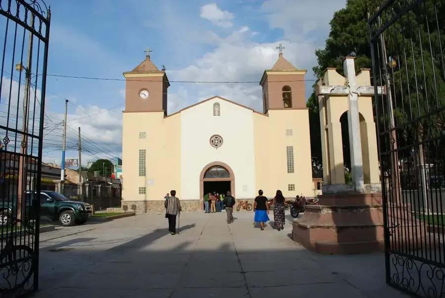
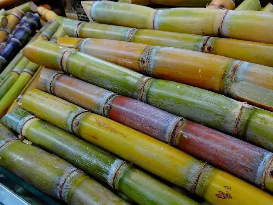
Siguatepeque, famously known as the 'Garden City' of Honduras, is located on a central plateau in the Comayagua department at an elevation of approximately 1,100 meters. Thanks to its geographical position, the city enjoys a pleasantly cool mountain climate, making it a popular rest stop between the country's two largest cities, Tegucigalpa and San Pedro Sula. The region is surrounded by dense pine forests that not only characterize the landscape but also play a vital role in local forestry. Siguatepeque is home to the National School of Forestry Sciences (ESNACIFOR), a leading institution in Central America. The city's economy is diverse, encompassing the cultivation of vegetables, flowers, and high-quality coffee, as well as a thriving ceramics industry. Historically, its name is derived from Nahuatl and translates to 'Hill of Women'. Today, Siguatepeque serves as a hub for education and ecological research, while providing a high quality of life through its numerous parks and gardens.
- Location: Honduras
- Top sights: Estadio Roberto Martínez Ávila · Universidad Nacional de Ciencias Forestales
- Nearby: El Progreso (5 km)
- Population: ~127.468 (2026)
Best time to visit & climate
The most pleasant time to visit is Jan–Mar.
| Jan | Feb | Mar | Apr | May | Jun | Jul | Aug | Sep | Oct | Nov | Dec | |
|---|---|---|---|---|---|---|---|---|---|---|---|---|
| Avg °C | 19 | 21 | 22 | 24 | 23 | 22 | 22 | 22 | 21 | 21 | 19 | 19 |
| Rain mm | 26 | 21 | 19 | 39 | 145 | 195 | 143 | 173 | 219 | 163 | 65 | 36 |
Geography
Facts
- Siguatepeque is situated at an elevation of 1,100 meters.
- The name originates from 'Cihuatepec' (Hill of Women).
- ESNACIFOR was established in the city in 1969.
- The Pine Festival (Festival del Pino) honors the local forests.
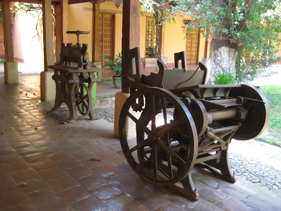
- The city is well-known for its handcrafted ceramics.
- It is located almost exactly halfway between the major cities.
Explore nearby
Notable places around
Route planner — Car & Motorhome
Where do you start? We build the route here, with stops and country notes along the way.
© OpenStreetMap contributors · OpenRouteService
Sights in the town Siguatepeque (2)
Frequently asked questions
Why is Siguatepeque a good stopover?
What can you buy here?
What is the climate like there?
What is the local food?
Are there parks in the city?
Siguatepeque: where is it located?
Siguatepeque: what is there to see?
Siguatepeque: when is the best time to visit?
Siguatepeque: why is it worth visiting?

Nearby cities


History & landmarks

Nature

More places