Plizio Visual Lab
Santa Cruz de Yojoa
ℹ️Practical info — Santa Cruz de Yojoa
▾
🌤 Weather — 5 days
📍 Nearby
Sights nearby
💡 Tips
- Take a boat tour on Lake Yojoa early in the morning for the best bird watching opportunities.
- Don't miss a visit to the impressive El Cajón hydroelectric dam located nearby.
- Bring insect repellent, especially if you are close to the lake or dining outdoors at dusk.
- Stop at the roadside restaurants along the CA-5 highway for excellent and fresh fish.
🍽 Food
Enjoy a whole fried tilapia at one of the numerous restaurants right on the lake's edge.
Some larger restaurants around the lake offer this delicious coastal conch soup.
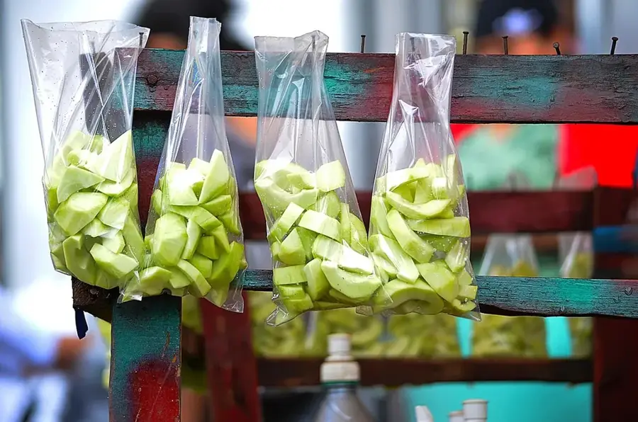
Try the caramelized fruit sweets sold by vendors near the lake and highway stops.
🛍 Shopping · 🧘 Quiet spots
Look for local pottery and woven baskets at souvenir stalls near the lake.
If you have a kitchen, buy the fresh catch directly from local fishermen in the morning.
Find a quiet wooden dock on Lake Yojoa to sit and watch the beautiful sunset.
Several nature reserves and eco-parks around the lake offer peaceful forest trails.
Water temperature…
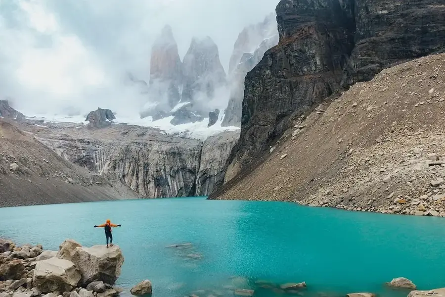
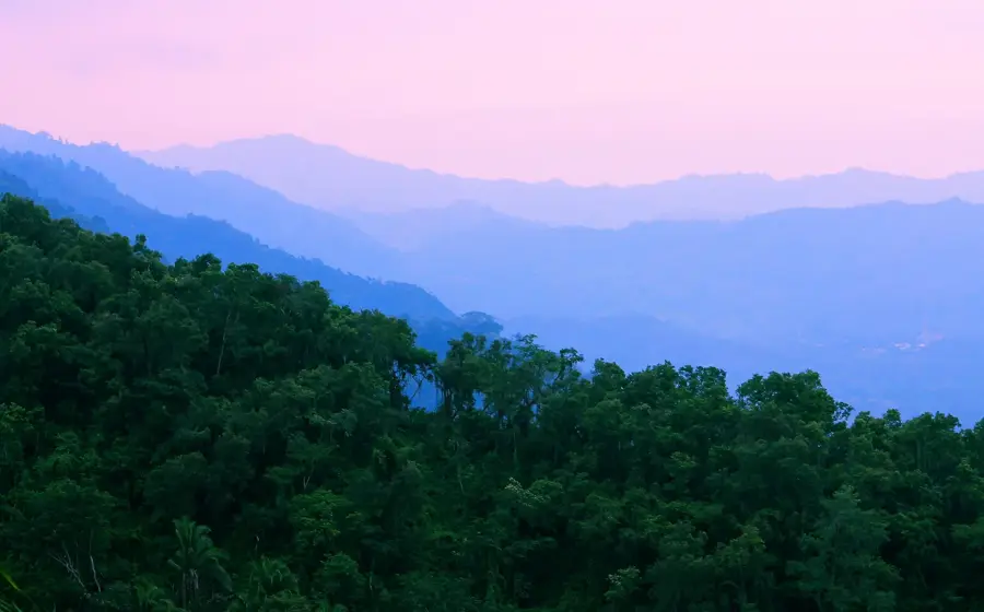
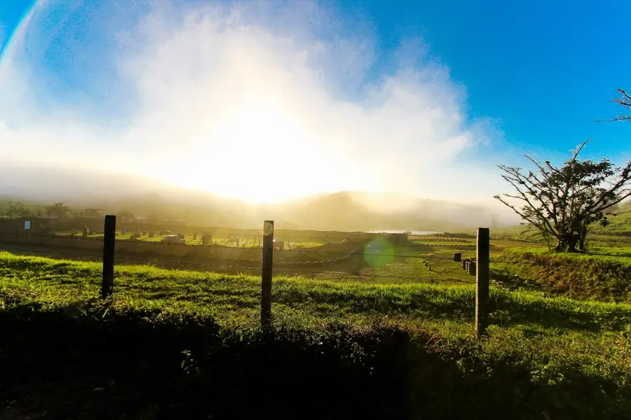
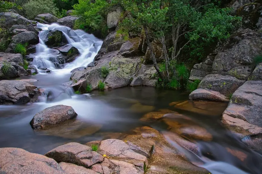
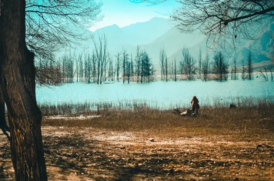
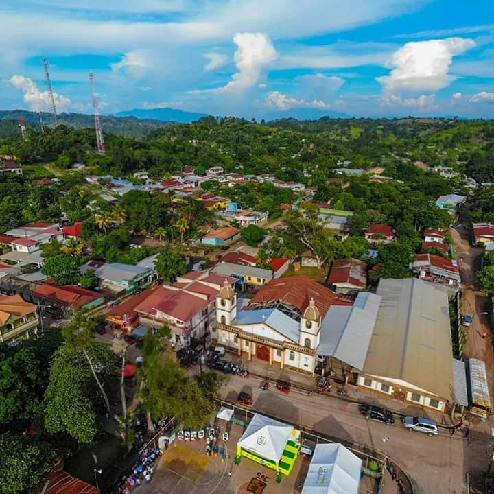
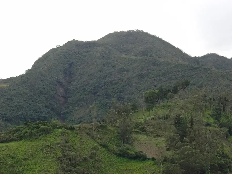
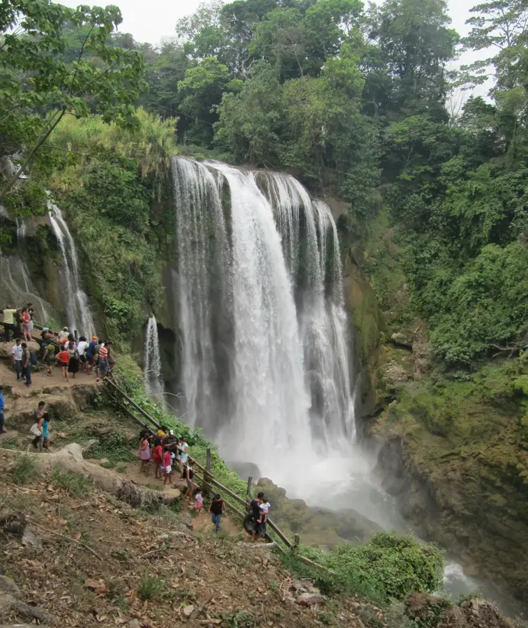
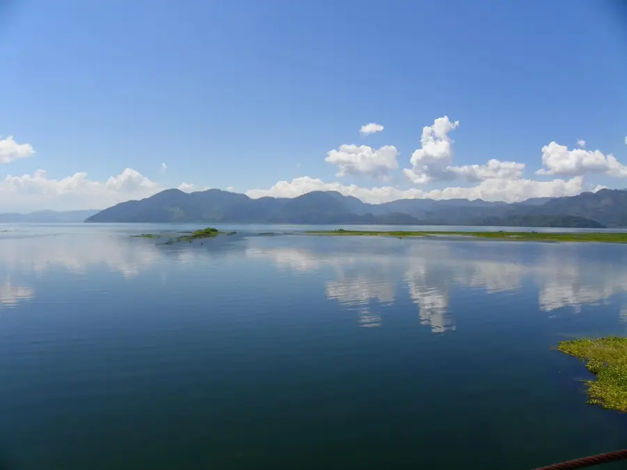
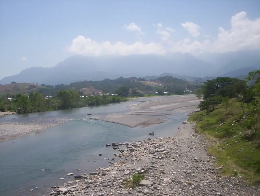
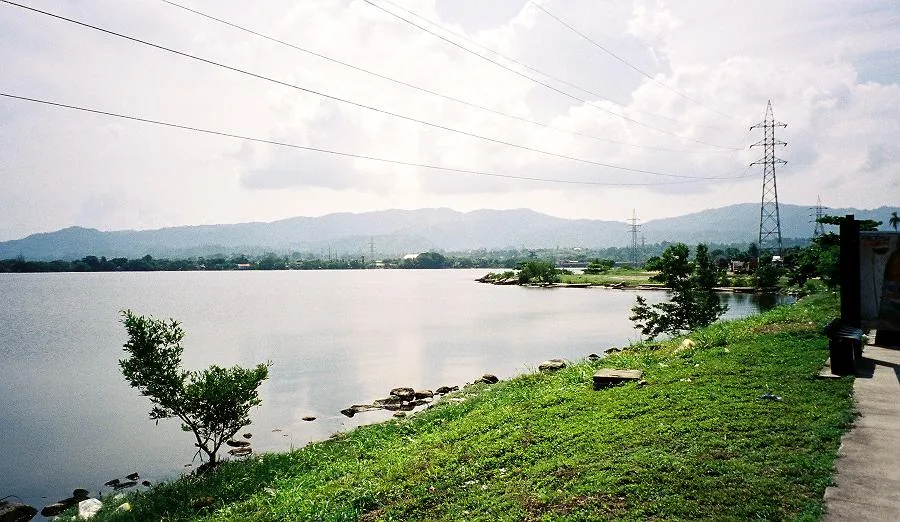
Santa Cruz de Yojoa is a municipality in Cortés Department, set on the shore of Lake Yojoa, the largest natural lake in Honduras. The region is especially rich in scenery, with forests, mountains, streams and a humid, cool-tropical microclimate. Its economy combines tourism, fishing, coffee farming, tilapia aquaculture and the hydroelectric plants along the Río Lindo. Several eco-lodges, viewpoints, breweries and trails turn the lake into a major destination for nature tourism. Santa Cruz itself serves as the commercial and administrative center for the population around the lake and in the nearby mountains. Its proximity to the main highway between San Pedro Sula and Tegucigalpa enhances accessibility. The municipality is a significant junction of nature, energy and tourism in central Honduras.
- Location: Honduras
- Nearby: Potrerillos (6 km)
- Population: ~97.848 (2026)
Best time to visit & climate
The most pleasant time to visit is Jan–Mar.
| Jan | Feb | Mar | Apr | May | Jun | Jul | Aug | Sep | Oct | Nov | Dec | |
|---|---|---|---|---|---|---|---|---|---|---|---|---|
| Avg °C | 20 | 22 | 23 | 25 | 25 | 24 | 24 | 24 | 23 | 22 | 21 | 20 |
| Rain mm | 63 | 48 | 39 | 41 | 123 | 184 | 149 | 162 | 200 | 166 | 111 | 70 |
Geography
Facts
- Located on Lake Yojoa
- El Cajón hydroelectric dam
- Tourism and fishing
- Pineapple plantations
Explore nearby
Notable places around
Route planner — Car & Motorhome
Where do you start? We build the route here, with stops and country notes along the way.
© OpenStreetMap contributors · OpenRouteService
Frequently asked questions
What are the main attractions in Santa Cruz de Yojoa?
Can you swim in Lake Yojoa?
What food is typical for the region?
Are there bird watching opportunities?
How to get there from San Pedro Sula?
Santa Cruz de Yojoa: where is it located?
Santa Cruz de Yojoa: when is the best time to visit?
Santa Cruz de Yojoa: why is it worth visiting?

Nearby cities

History & landmarks


Nature
More places