Plizio Visual Lab
Potrerillos

ℹ️Practical info — Potrerillos
▾
🌤 Weather — 5 days
📍 Nearby
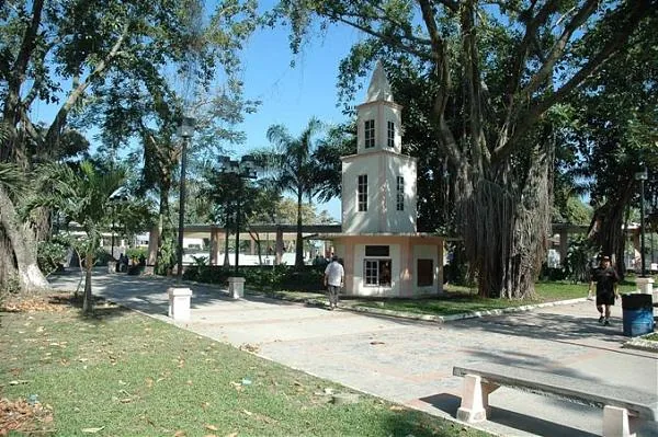
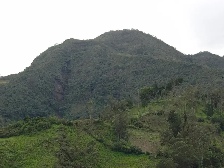
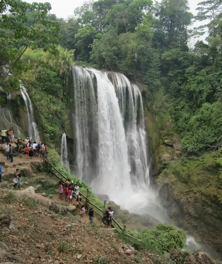
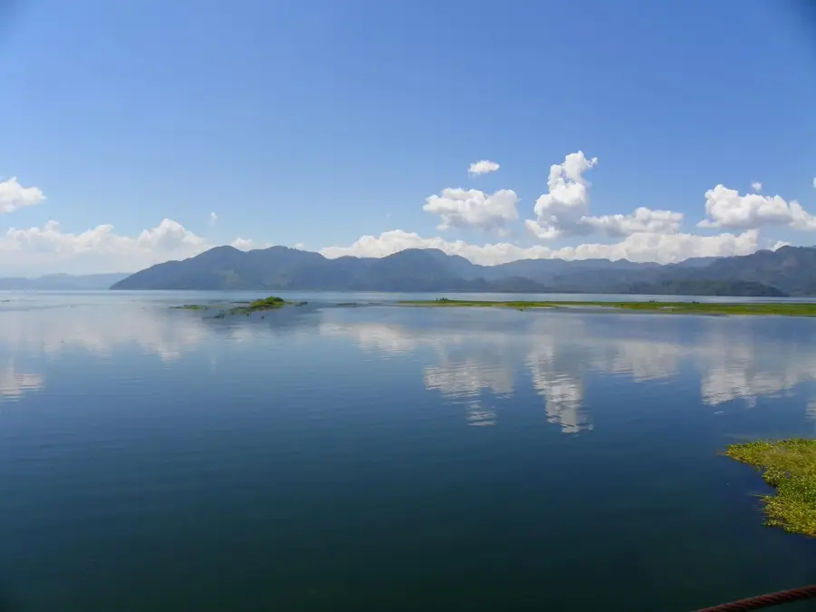
Sights nearby
💡 Tips
- The climate here is hot and humid year-round; always carry a bottle of water.
- Mototaxis are the easiest way to get around the center; agree on the fare before hopping in.
- As an industrial town, the best local meals are found in the bustling comedores near the main transport routes.
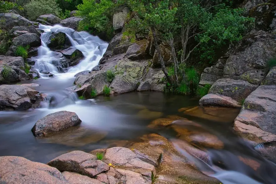
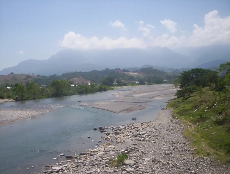
- For a refreshing break, ask locals for directions to the accessible spots along the Río Blanco.
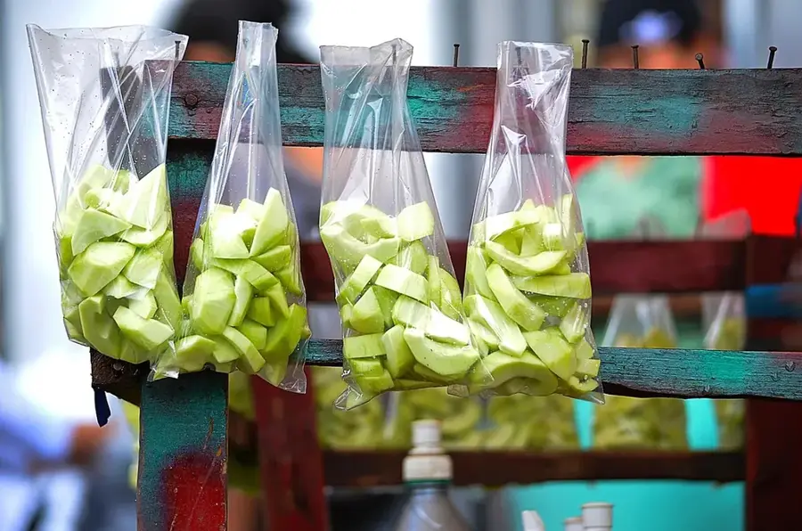
🍽 Food
A classic Honduran staple; find the best ones at the evening street stalls near the center.
Fried chicken served with sliced plantains, available at small local eateries.
Grilled meat often served with beans and tortillas, try the grill places along the main road.
🛍 Shopping · 🧘 Quiet spots
The heart of local commerce, great for fresh fruits and everyday items.
Look for small family-run bakeries selling fresh pan dulce in the mornings.
A shaded spot to sit and observe the daily life of the locals.
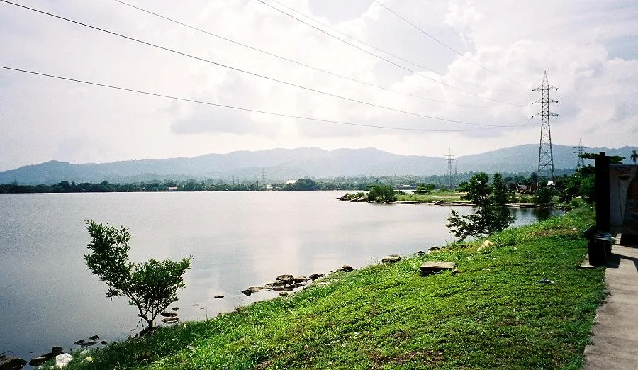
A short walk from the center provides a calmer atmosphere by the water.
Water temperature…
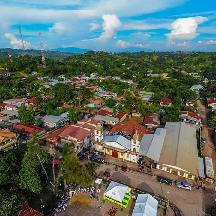
Potrerillos lies in Cortés Department and belongs to the northern industrial belt that surrounds San Pedro Sula. The municipality benefits from the flat, fertile soils of the Sula Valley and from its proximity to the main highways leading to the Caribbean ports. Historically Potrerillos was a key junction on the former banana railways, and later it developed sugar, food, packaging and logistics industries. Its urban fabric mixes classic Central American residential areas, small industrial zones and rural fringes covered with corn and sugarcane fields. Its population is growing thanks to commuters who work in the factories of the Sula Valley. Potrerillos clearly illustrates how the old banana corridor of northern Honduras has shifted toward a modern, mixed industrial and agricultural economy.
- Location: Honduras
- Nearby: Santa Cruz de Yojoa (6 km)
- Population: ~26.954 (2026)
Best time to visit & climate
The most pleasant time to visit is Jan–Mar.
| Jan | Feb | Mar | Apr | May | Jun | Jul | Aug | Sep | Oct | Nov | Dec | |
|---|---|---|---|---|---|---|---|---|---|---|---|---|
| Avg °C | 22 | 23 | 24 | 26 | 27 | 26 | 26 | 26 | 26 | 25 | 23 | 23 |
| Rain mm | 111 | 83 | 64 | 44 | 105 | 170 | 158 | 153 | 179 | 187 | 174 | 118 |
Geography
Facts
- Industrial city
- Near Lake Yojoa
- Transportation hub
- Growing community
Explore nearby
Notable places around
Route planner — Car & Motorhome
Where do you start? We build the route here, with stops and country notes along the way.
© OpenStreetMap contributors · OpenRouteService
Frequently asked questions
Where is Potrerillos located?
What is the economic base?
Is the city touristy?
Are there gas stations and services there?
What is the weather like in Potrerillos?
Potrerillos: where is it located?
Potrerillos: when is the best time to visit?
Potrerillos: why is it worth visiting?

Nearby cities
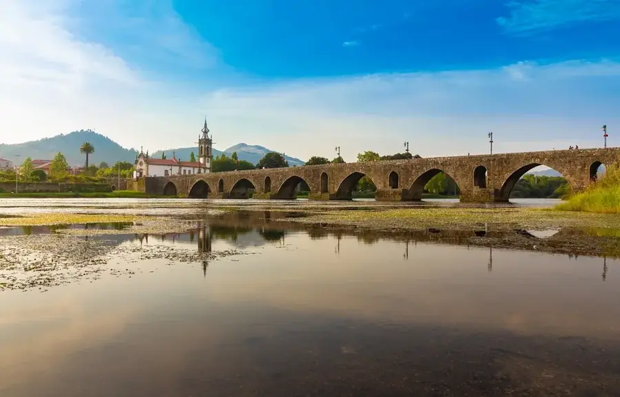

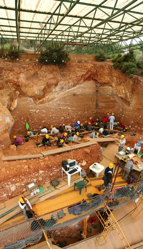
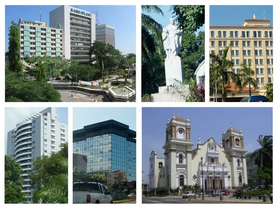
History & landmarks


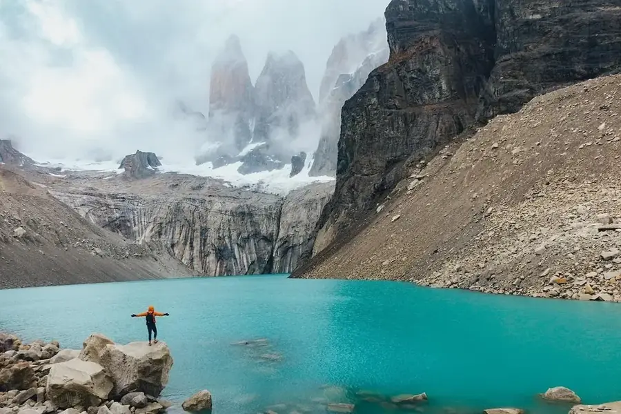
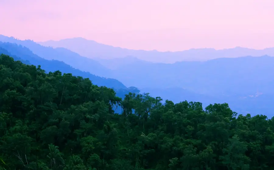
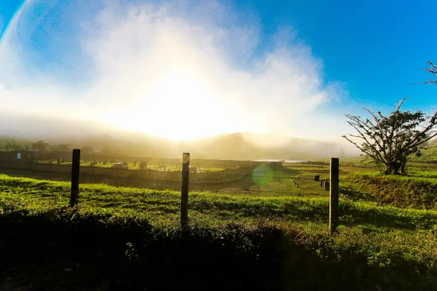
Nature
More places