Plizio Visual Lab
Choloma
ℹ️Practical info — Choloma
▾
🌤 Weather — 5 days
📍 Nearby
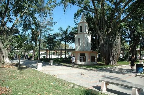
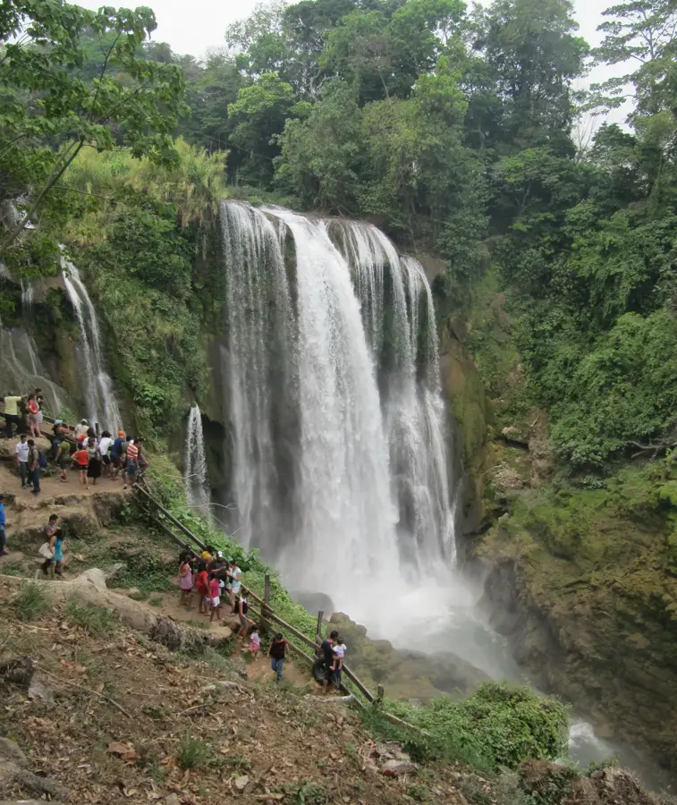
Sights nearby
💡 Tips
- Traffic on the highway connecting to San Pedro Sula can be heavy; plan your travel outside rush hours.
- Safety is a concern in certain neighborhoods; stick to main commercial areas and avoid walking alone at night.
- Carry small denominations of Lempiras for taxis and street vendors, as larger bills are hard to break.
- The climate is hot and tropical; dress in light, breathable clothing.
🍽 Food
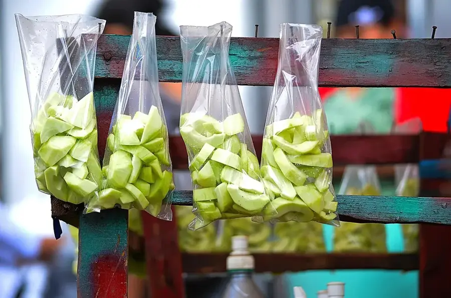
Thick tortillas filled with beans and cheese, found at street carts near the central park.
Fried chicken with sliced green bananas at local eateries around the industrial zone.
Savory meat pastries at traditional food stalls.
🛍 Shopping · 🧘 Quiet spots
A bustling place to buy local produce and household items.
Modern shopping center with air conditioning and various shops.
Shaded benches in the city center to relax.
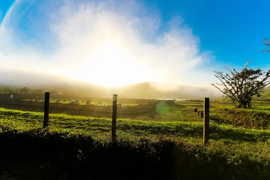
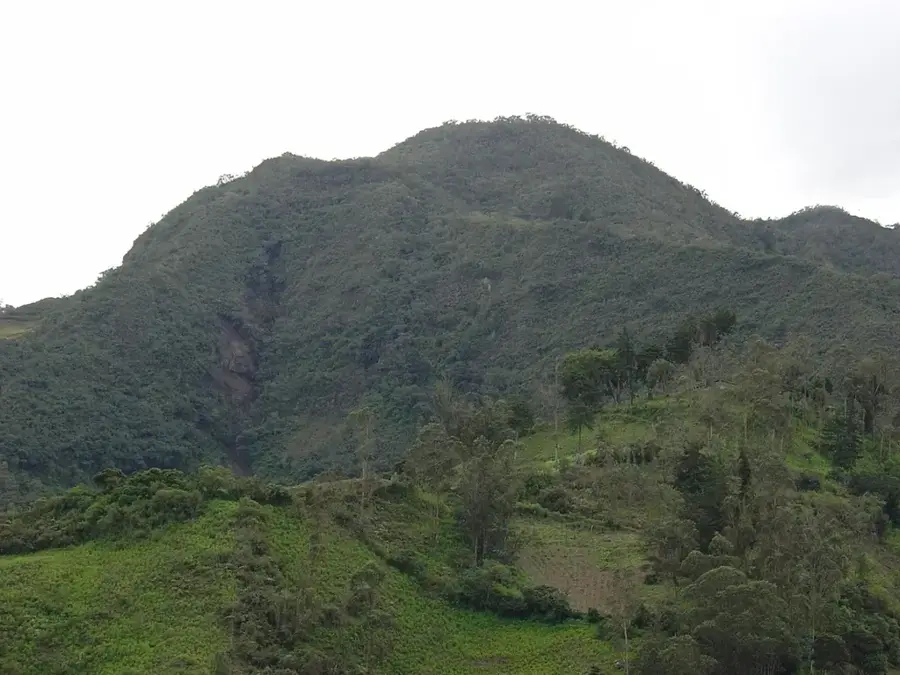
Enjoy views of the Sula Valley from higher elevations outside the city.
Water temperature…
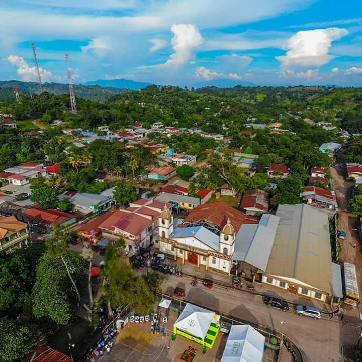
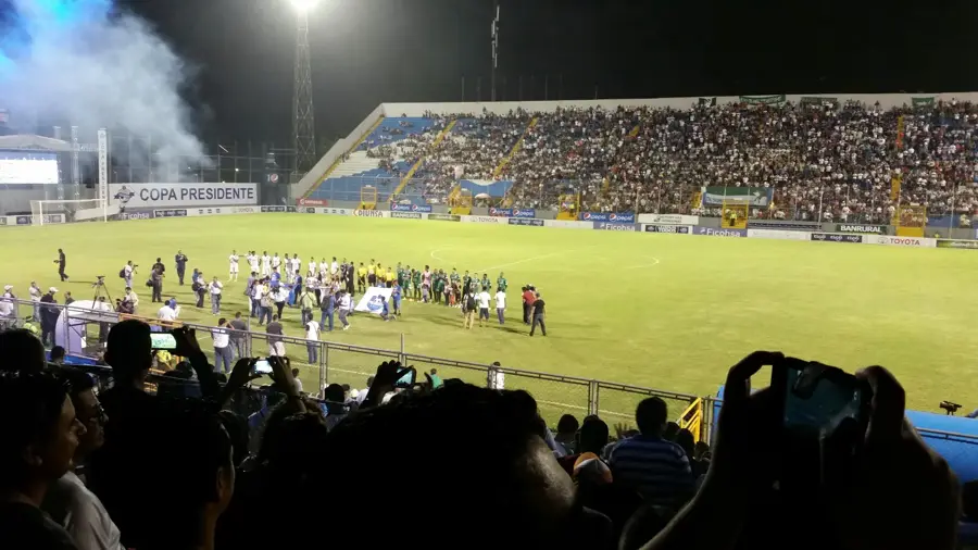
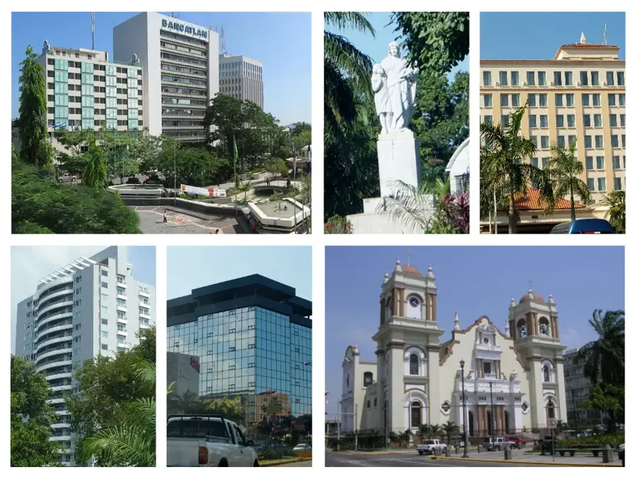
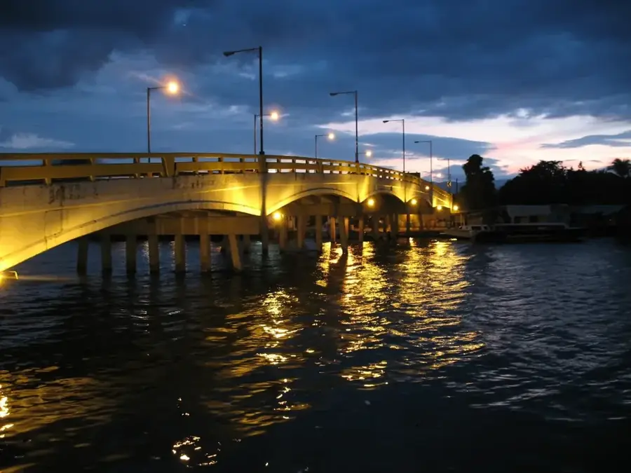
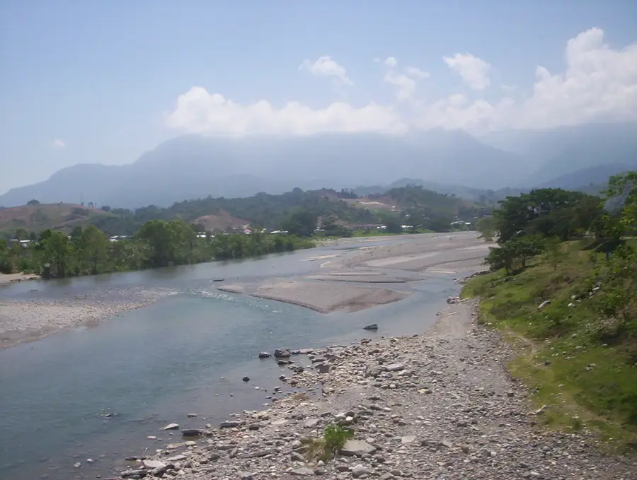
Choloma is a major industrial center located in the Cortés department and is the third-most populous city in Honduras, following Tegucigalpa and San Pedro Sula. Situated within the fertile Sula Valley, the city has experienced unprecedented economic expansion since the 1970s, primarily driven by the establishment of export processing zones. Choloma is now the primary hub for the country's maquiladora industry, with a heavy focus on textile manufacturing for global markets. The history of the settlement dates back to Pre-Columbian times when it was inhabited by indigenous groups before being officially recognized as a municipality in 1894. Its geographical proximity to the main port of Puerto Cortés makes the city a strategic location for Honduran logistics and foreign trade. Despite its industrial nature, Choloma maintains local traditions and is heavily investing in urban infrastructure to accommodate its rapid population growth. The Chamelecón River flows nearby, significantly shaping the region's geography and its historical agricultural roots.
- Location: Honduras
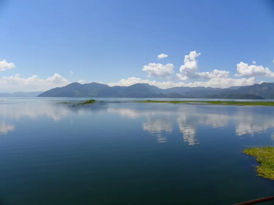
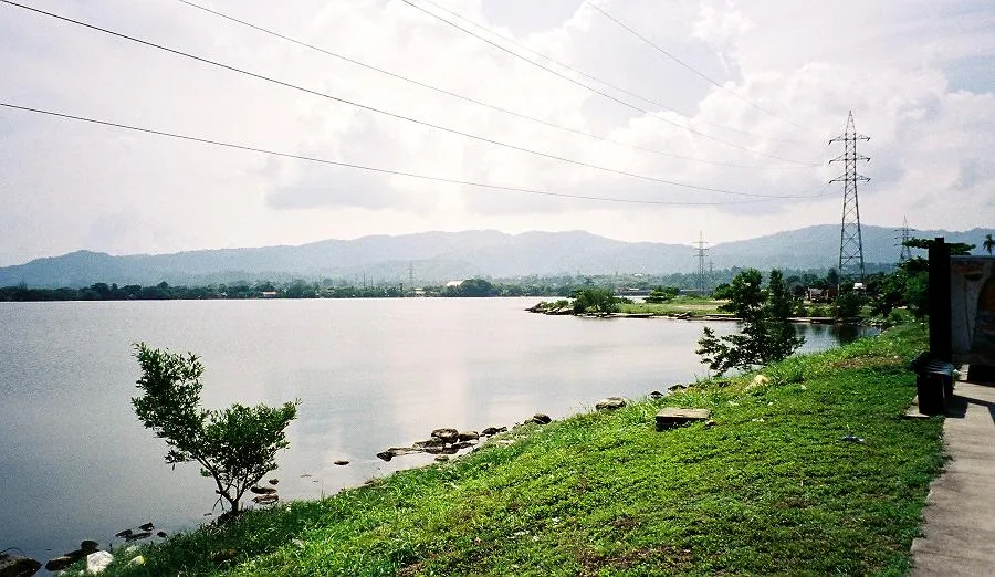
- Nearby: Lago de Yojoa (4 km)
- Population: ~139.100 (2024)
Best time to visit & climate
The most pleasant time to visit is Jan–Mar.
| Jan | Feb | Mar | Apr | May | Jun | Jul | Aug | Sep | Oct | Nov | Dec | |
|---|---|---|---|---|---|---|---|---|---|---|---|---|
| Avg °C | 22 | 23 | 24 | 26 | 27 | 26 | 26 | 26 | 26 | 25 | 23 | 23 |
| Rain mm | 111 | 83 | 64 | 44 | 105 | 170 | 158 | 153 | 179 | 187 | 174 | 118 |
Geography
Facts
- Choloma was officially established as a municipality on May 3, 1894.
- It is the third-most populous city in Honduras.
- The city houses more than 100 maquiladora factories.
- Choloma is located just 15 kilometers north of San Pedro Sula.
- The region is a focal point for global textile manufacturing.
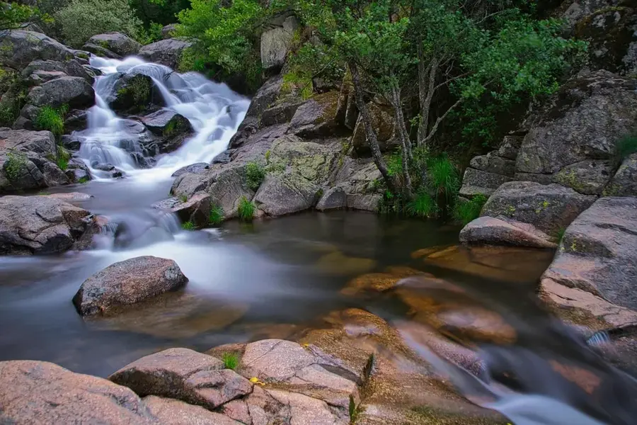
- The Chamelecón River is a key geographical feature of the area.
Explore nearby
Notable places around
Route planner — Car & Motorhome
Where do you start? We build the route here, with stops and country notes along the way.
© OpenStreetMap contributors · OpenRouteService
Frequently asked questions
What is the main role of Choloma?
Is Choloma a tourist destination?
Where exactly is the city located?
Is there nature in the area?
How is the public transport connection?
Choloma: where is it located?
Choloma: when is the best time to visit?
Choloma: why is it worth visiting?

Nearby cities


History & landmarks

Nature
More places