Plizio Visual Lab
Cerro Azul Meambar

Weather…
Water temperature…
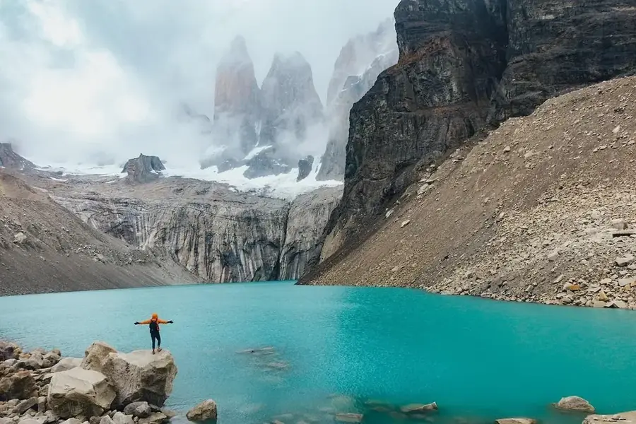
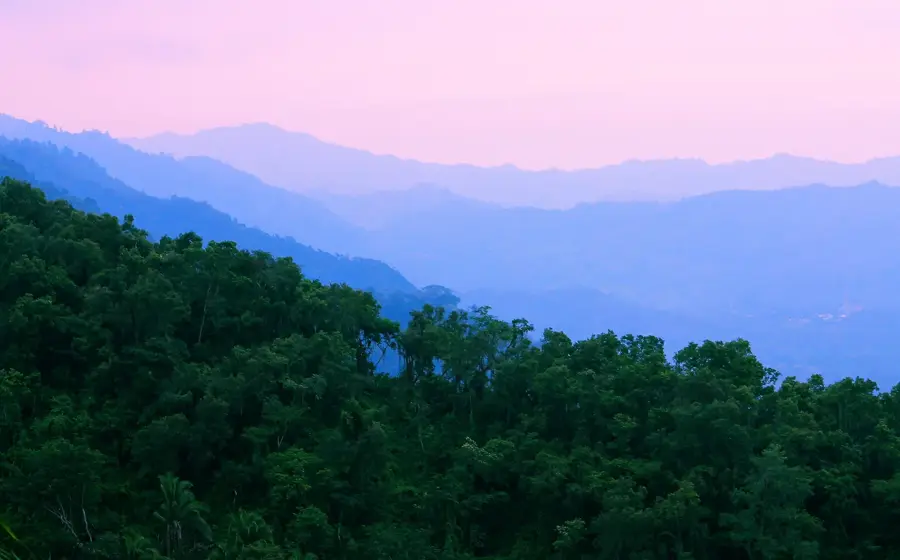
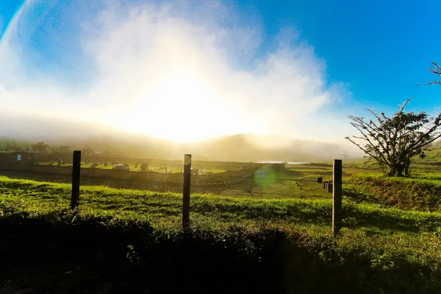
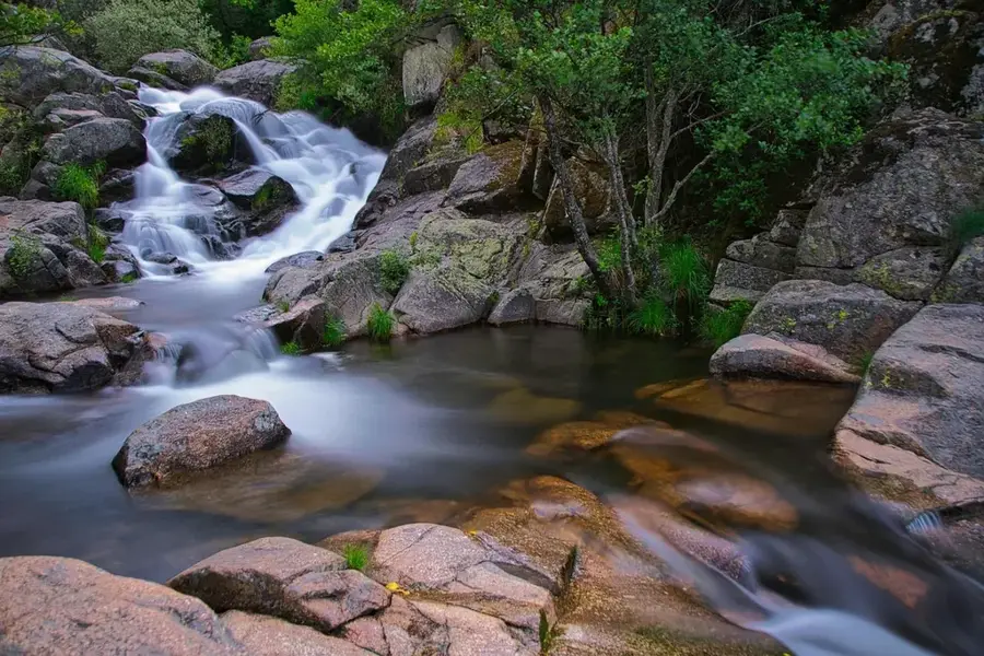
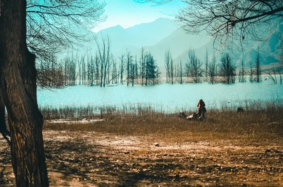
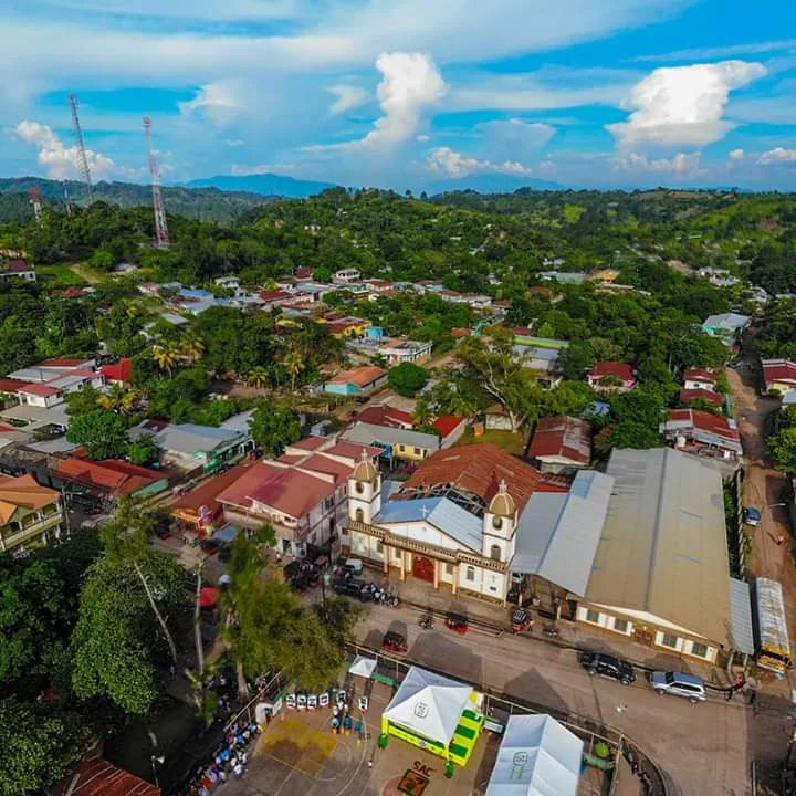
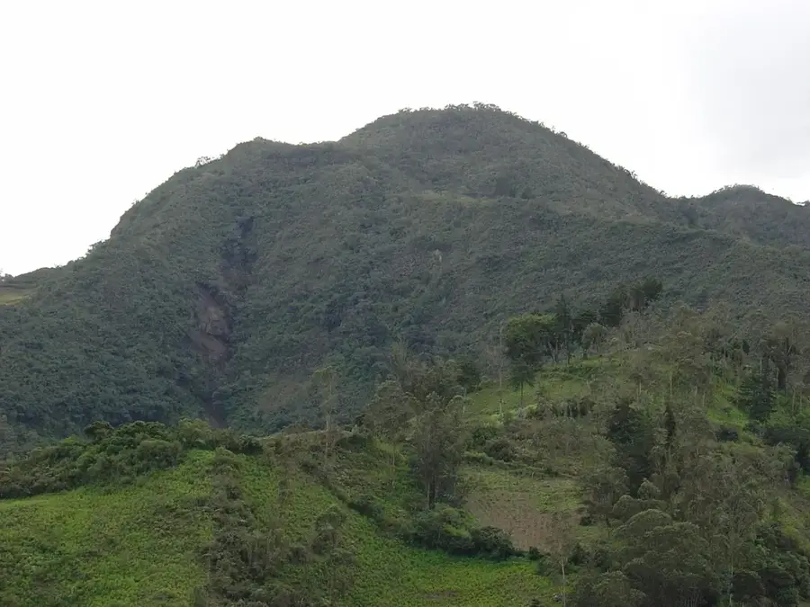
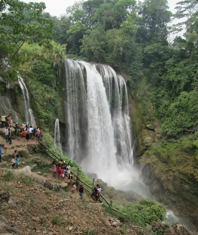
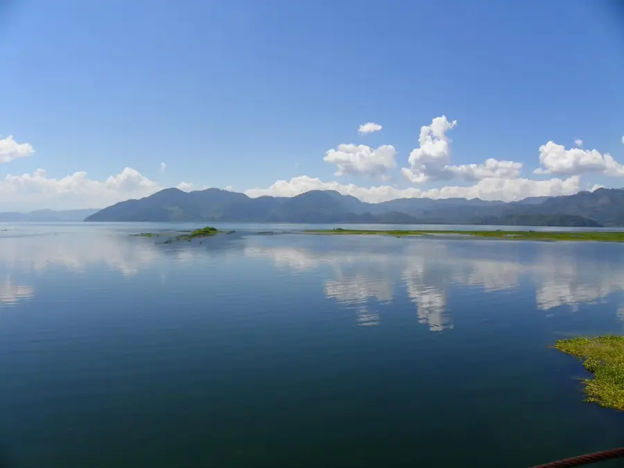
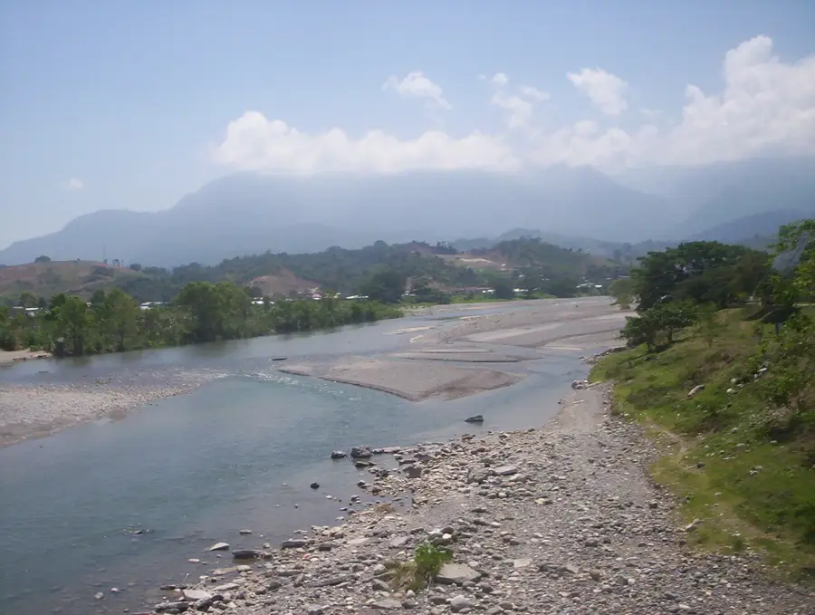
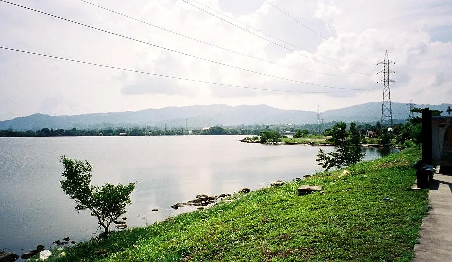
Cerro Azul Meámbar National Park (PANACAM) is a natural jewel in central Honduras, located just east of Lake Yojoa. The protected mountain massif reaches elevations up to 2,047 meters and is famous for its mystical cloud forests. These dense forests act as a giant sponge, capturing moisture from the air and forming a vital watershed for Lake Yojoa and surrounding communities. The park gives spectacular biodiversity, home to howler monkeys, toucans, and rare orchid species. For visitors, PANACAM is a premier destination for birdwatching and hiking along well-maintained trails that lead to impressive waterfalls. The cool high-altitude climate provides a welcome respite from the lowland heat. History: Established in 1987, the park is now managed by a private foundation (PAG), serving as a model for conservation in the country.
- Location: Honduras
- Nearby: San Manuel (4 km)
Best time to visit & climate
The most pleasant time to visit is Jan–Mar.
| Jan | Feb | Mar | Apr | May | Jun | Jul | Aug | Sep | Oct | Nov | Dec | |
|---|---|---|---|---|---|---|---|---|---|---|---|---|
| Avg °C | 20 | 22 | 23 | 25 | 25 | 24 | 24 | 24 | 23 | 22 | 21 | 20 |
| Rain mm | 63 | 48 | 39 | 41 | 123 | 184 | 149 | 162 | 200 | 166 | 111 | 70 |
📋 Practical info
Geography
Facts
- Highest peak stands at 2,047 meters.
- Established on January 1, 1987.
- Vital watershed for nearby Lake Yojoa.
- Home to more than 250 bird species.
- Famous for its lush cloud forests.
- Managed by the PAG (Proyecto Aldea Global) foundation.
Explore nearby
Notable places around
Route planner — Car & Motorhome
Where do you start? We build the route here, with stops and country notes along the way.
© OpenStreetMap contributors · OpenRouteService
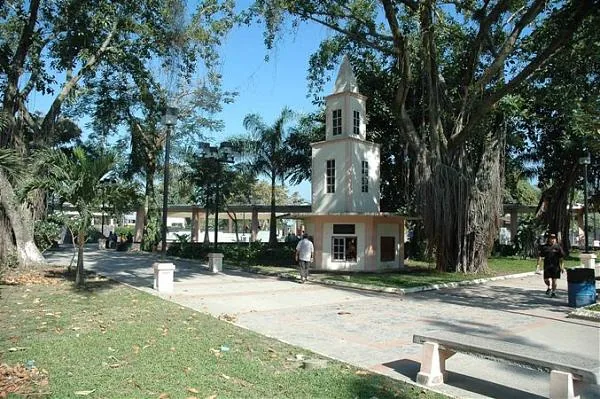
Sights in the town Cerro Azul Meambar (1)
Sights nearby
Frequently asked questions
Where is Cerro Azul Meambar located?
Is it a national park?
What is the highlight for visitors?
Are there accommodations there?
What is the difficulty level of the paths?
Cerro Azul Meambar: where is it located?
Cerro Azul Meambar: when is the best time to visit?
Cerro Azul Meambar: why is it worth visiting?

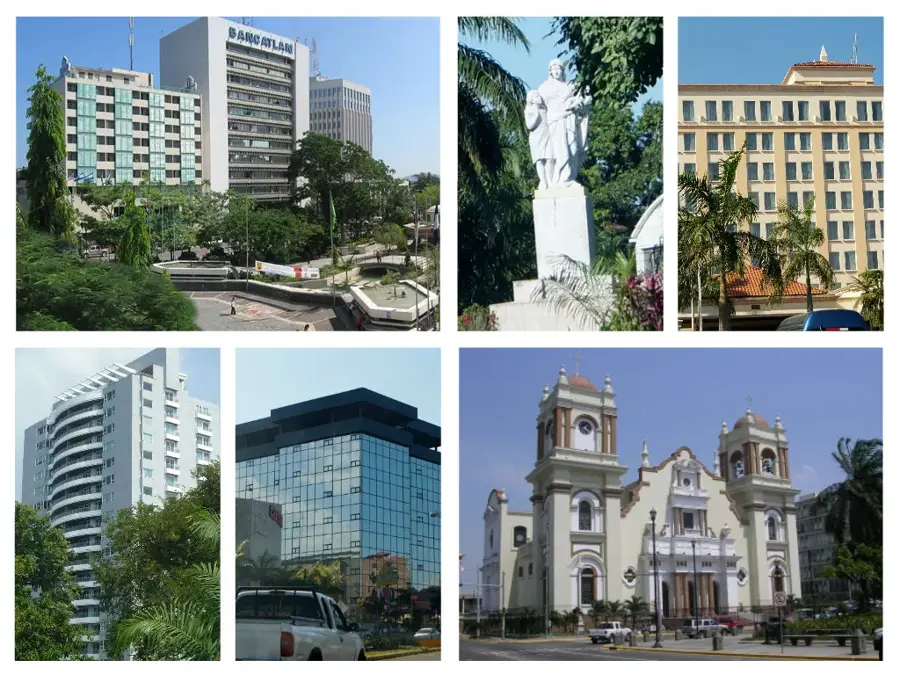
Nearby cities

History & landmarks


Nature
More places