Plizio Visual Lab
High Merendón
Weather…
Water temperature…
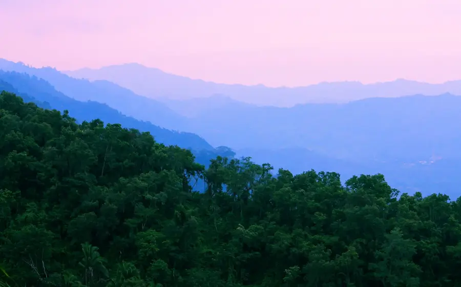
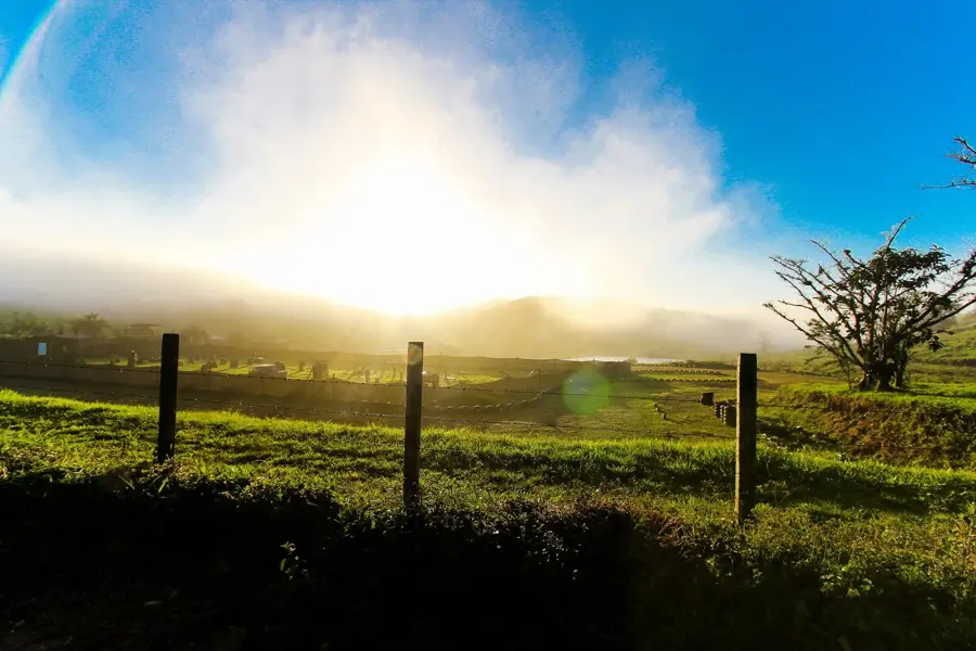
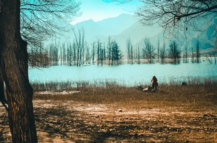
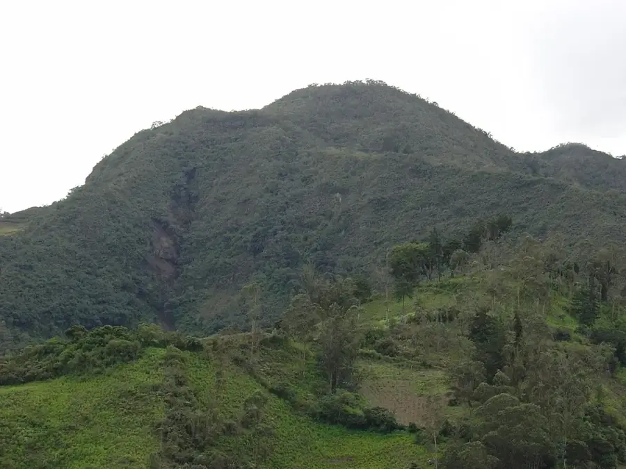
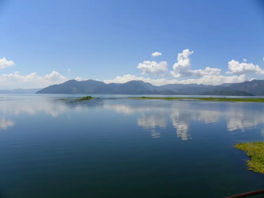
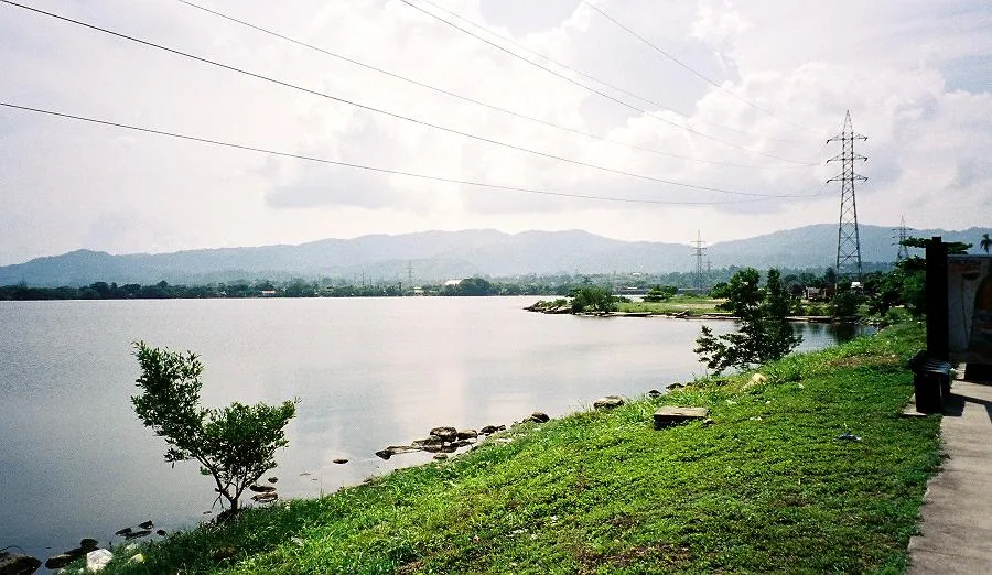
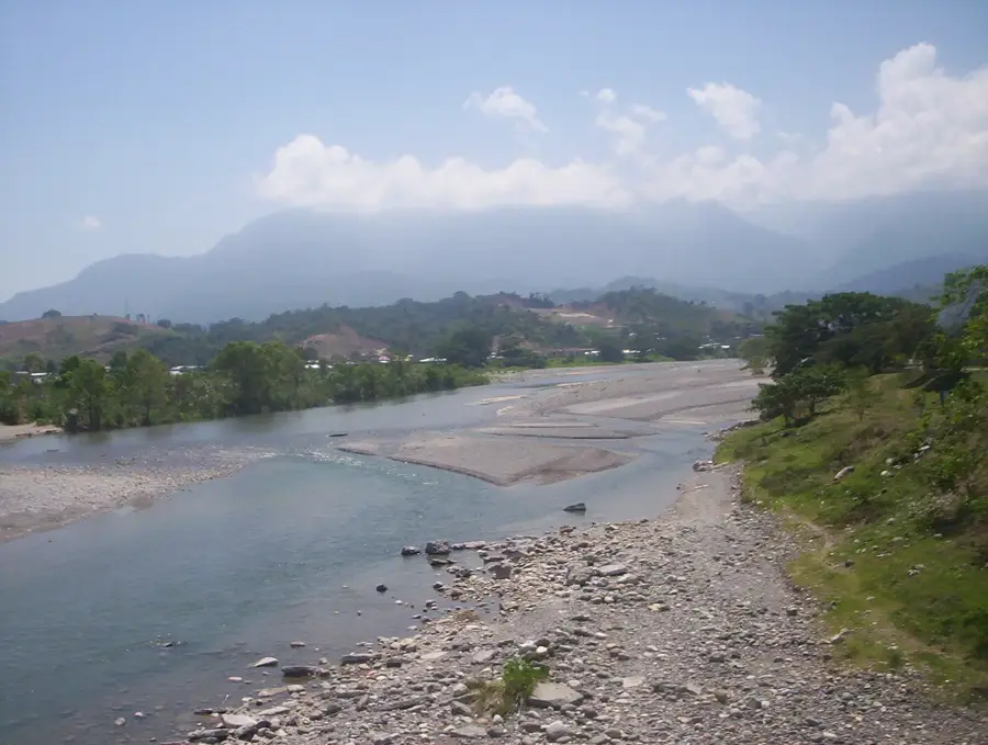
The High Merendón (Cordillera de El Merendón High) encompasses the most elevated and climatically distinct sections of the Merendón mountain range in northwestern Honduras. This region is characterized by peaks frequently shrouded in thick mist, with temperatures significantly cooler than the national average. The vegetation transitions into majestic oak and pine forests, eventually becoming epiphyte-rich cloud forests. It is a sanctuary for hikers seeking solitude and has expansive vistas reaching as far as Guatemala on clear days. Ecologically, the area is vital as a refugium for rare amphibian species found only at these high altitudes. History: Historically, these rugged highlands served as a natural barrier and hideout, with scientific exploration only intensifying in the late 20th century.
- Location: Honduras
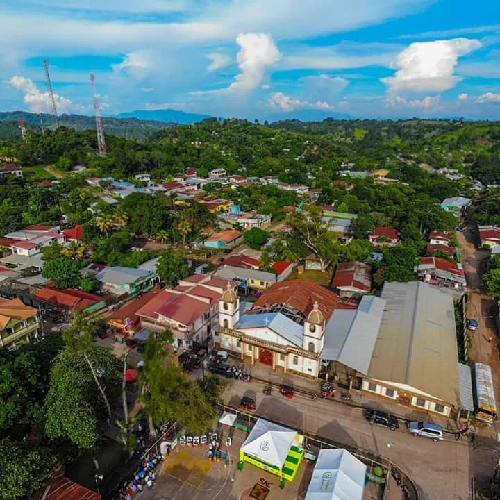
- Nearby: Piraera (5 km)
Best time to visit & climate
The most pleasant time to visit is Jan–Mar.
| Jan | Feb | Mar | Apr | May | Jun | Jul | Aug | Sep | Oct | Nov | Dec | |
|---|---|---|---|---|---|---|---|---|---|---|---|---|
| Avg °C | 22 | 23 | 24 | 26 | 27 | 26 | 25 | 25 | 25 | 24 | 23 | 22 |
| Rain mm | 105 | 78 | 61 | 51 | 127 | 214 | 188 | 195 | 227 | 205 | 174 | 113 |
📋 Practical info
Geography
Facts
- Highest reaches of the Merendón range.
- Temperatures can drop near freezing at night.
- Encompasses parts of Cusuco National Park.
- Home to several endemic salamander species.
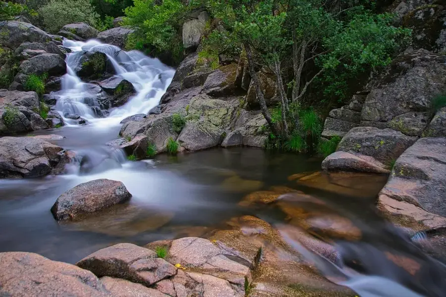
- Source of numerous crystal-clear mountain streams.
- Famous for its 'elfin forests' near the summits.
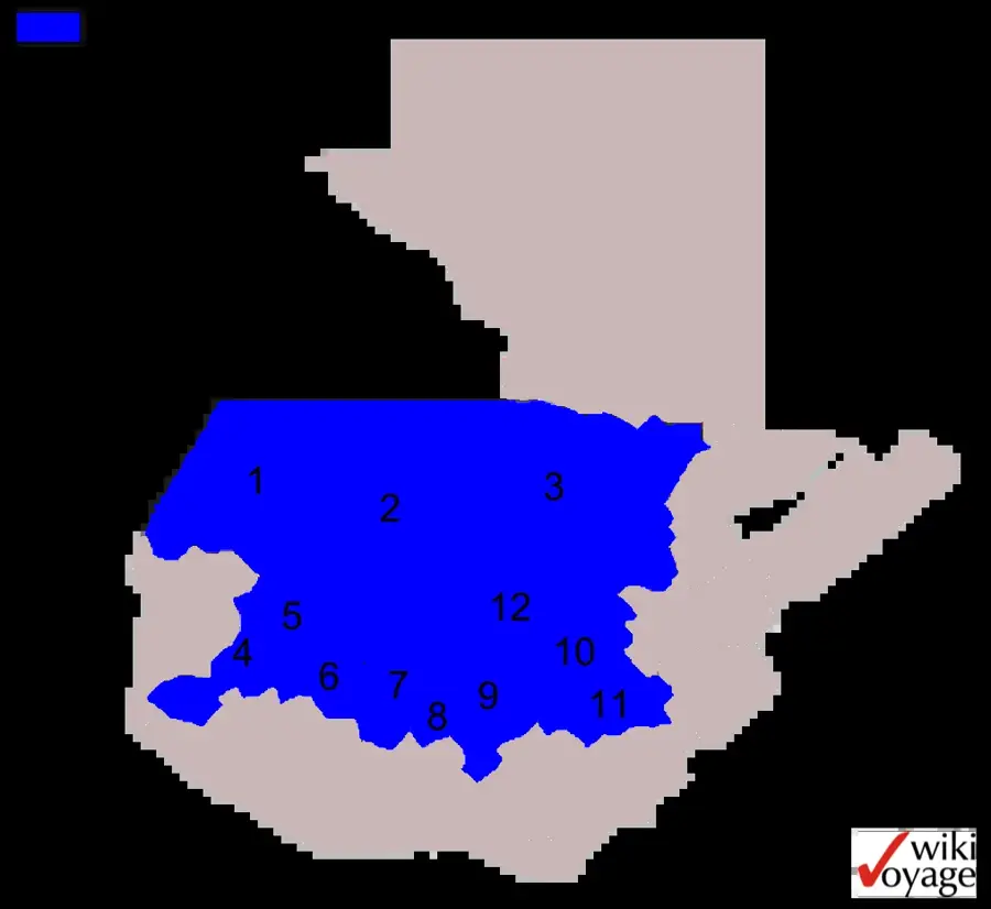
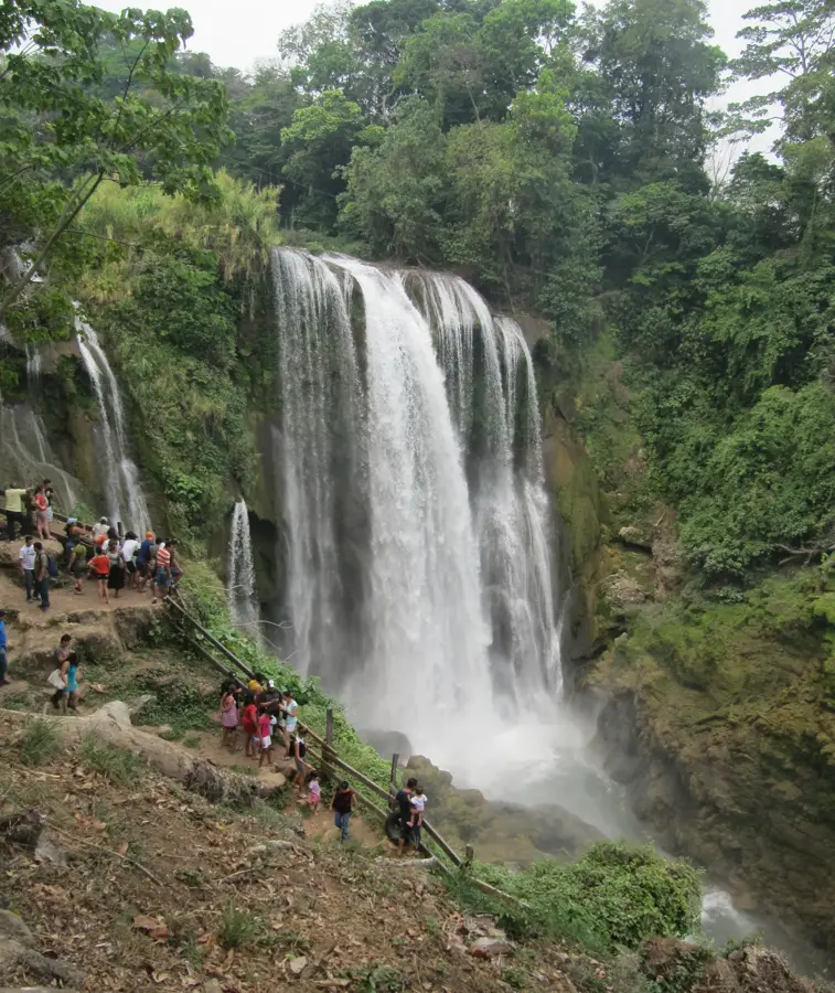
Explore nearby
Notable places around
Route planner — Car & Motorhome
Where do you start? We build the route here, with stops and country notes along the way.
© OpenStreetMap contributors · OpenRouteService
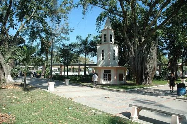
Sights in the town High Merendón (1)
Sights nearby
Frequently asked questions
What distinguishes 'High Merendón' from the rest of the range?
Are there hiking trails for tourists there?
What is the weather like in the high elevations?
What vegetation predominates?
Is a permit necessary for a visit?
High Merendón: where is it located?
High Merendón: when is the best time to visit?
High Merendón: why is it worth visiting?

Nearby cities

History & landmarks


Nature
More places