Plizio Visual Lab
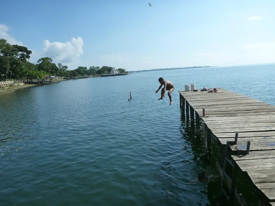
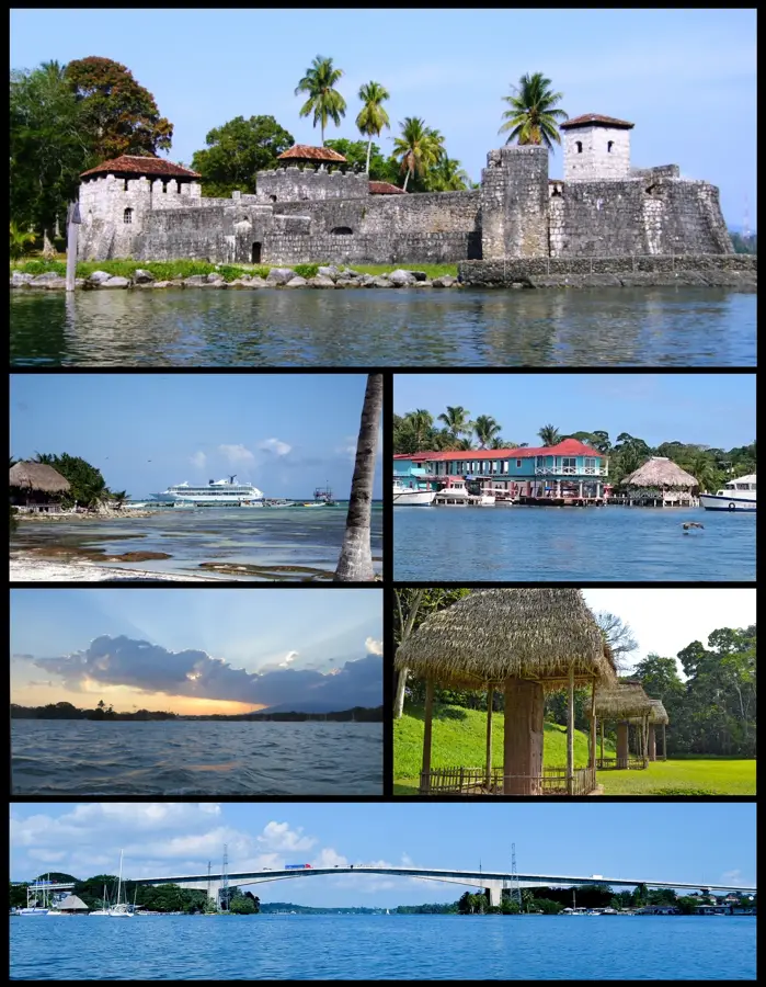
Punta de Manabique Turtle Coast
Weather…
Water temperature…
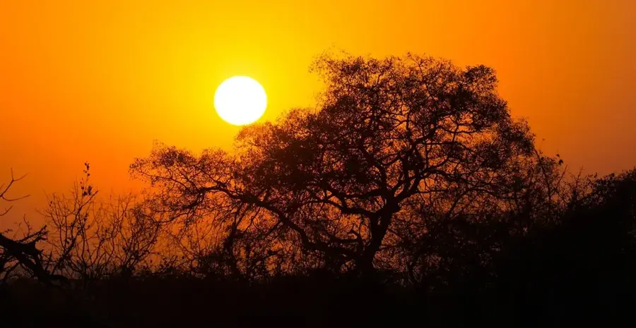
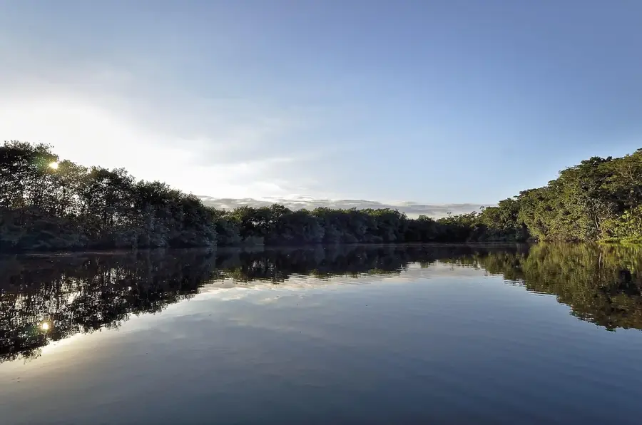
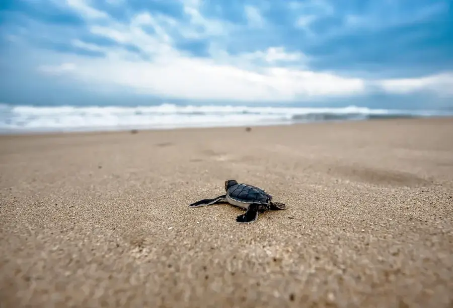
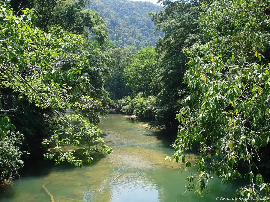
The Punta de Manabique peninsula is located on the Caribbean coast of Guatemala in the department of Izabal and was officially designated as a wildlife reserve in 1999. This ecosystem includes extensive mangrove forests, coastal lagoons, and coral reefs that host exceptional biodiversity. The region is particularly known as a critical nesting site for endangered sea turtle species such as the hawksbill and leatherback turtles, which return to these beaches every year to lay their eggs. Geographically, the peninsula forms the easternmost point of the country and protects the Bay of Amatique from the waves of the open sea. In addition to turtles, the area provides habitat for over 300 bird species and manatees, making it a significant center for biological research and ecotourism. The conservation of this 1,329 square kilometer area is crucial for protecting Guatemala's marine resources and the sustainable development of local fishing communities.
- Location: Guatemala
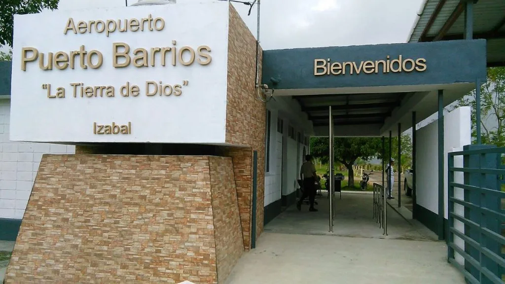
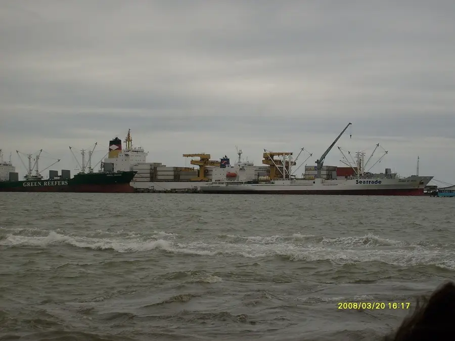
- Nearby: Santo Tomás de Castilla (9 km)
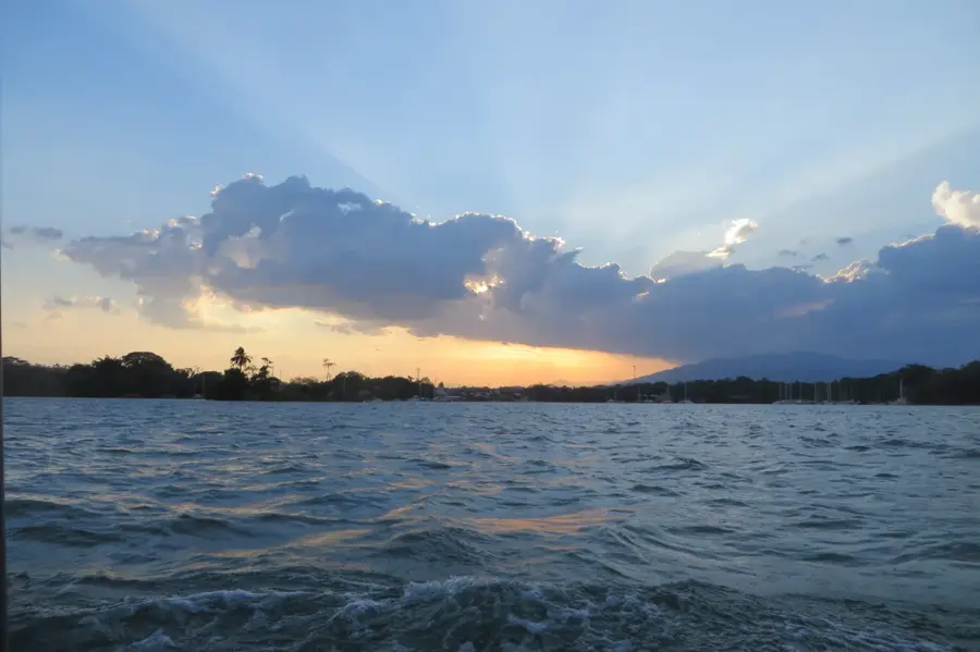
Best time to visit & climate
The most pleasant time to visit is Jan–Mar.
| Jan | Feb | Mar | Apr | May | Jun | Jul | Aug | Sep | Oct | Nov | Dec | |
|---|---|---|---|---|---|---|---|---|---|---|---|---|
| Avg °C | 22 | 23 | 24 | 26 | 27 | 26 | 25 | 25 | 25 | 24 | 23 | 22 |
| Rain mm | 105 | 78 | 61 | 51 | 127 | 214 | 188 | 195 | 227 | 205 | 174 | 113 |
📋 Practical info
Geography
Facts
- The official establishment as a wildlife reserve occurred in 1999.
- The protected area covers a total surface of approximately 1,329 km².
- Over 320 different bird species have been documented in the region.
- The coast serves as an important nesting site for the endangered leatherback turtle.
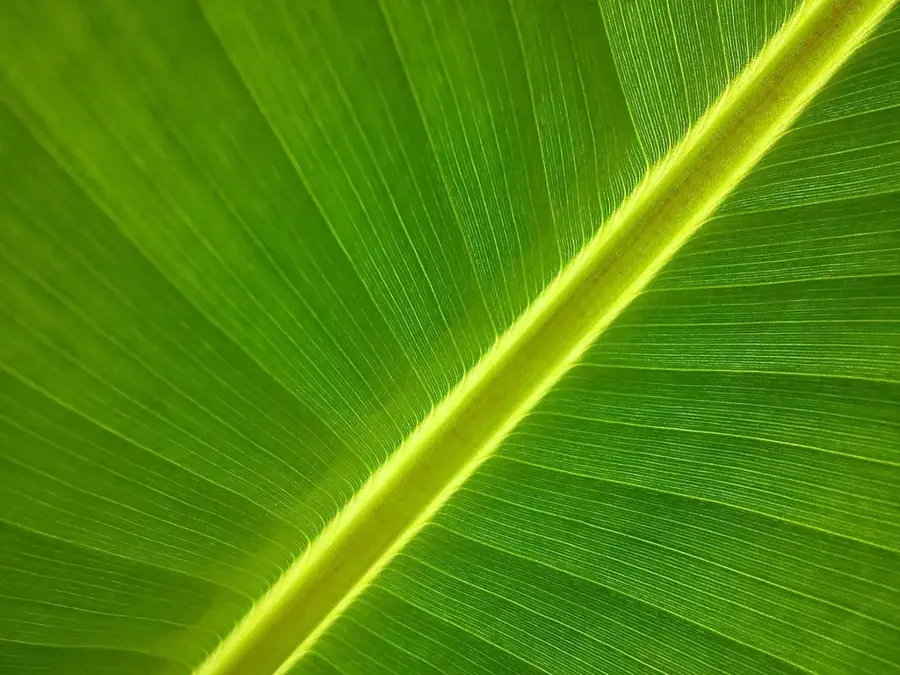
- It hosts one of the most important mangrove ecosystems in Guatemala.
- The peninsula geographically forms the easternmost point of the country.
Explore nearby
Notable places around
Route planner — Car & Motorhome
Where do you start? We build the route here, with stops and country notes along the way.
© OpenStreetMap contributors · OpenRouteService
Sights nearby
Frequently asked questions
When do the sea turtles hatch?
What is the accommodation like in Punta de Manabique?
Can you swim there?
How do you reach this nature reserve?
Are there restaurants there?
Punta de Manabique Turtle Coast: where is it located?
Punta de Manabique Turtle Coast: when is the best time to visit?
Punta de Manabique Turtle Coast: why is it worth visiting?

Nearby cities

Nature
More places