Plizio Visual Lab
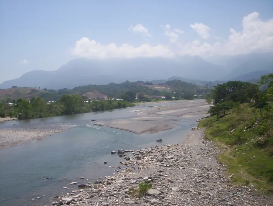
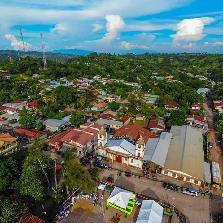
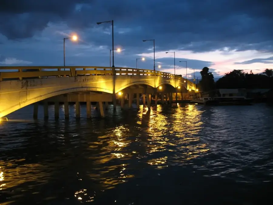
Chamelecón River
Weather…
Water temperature…
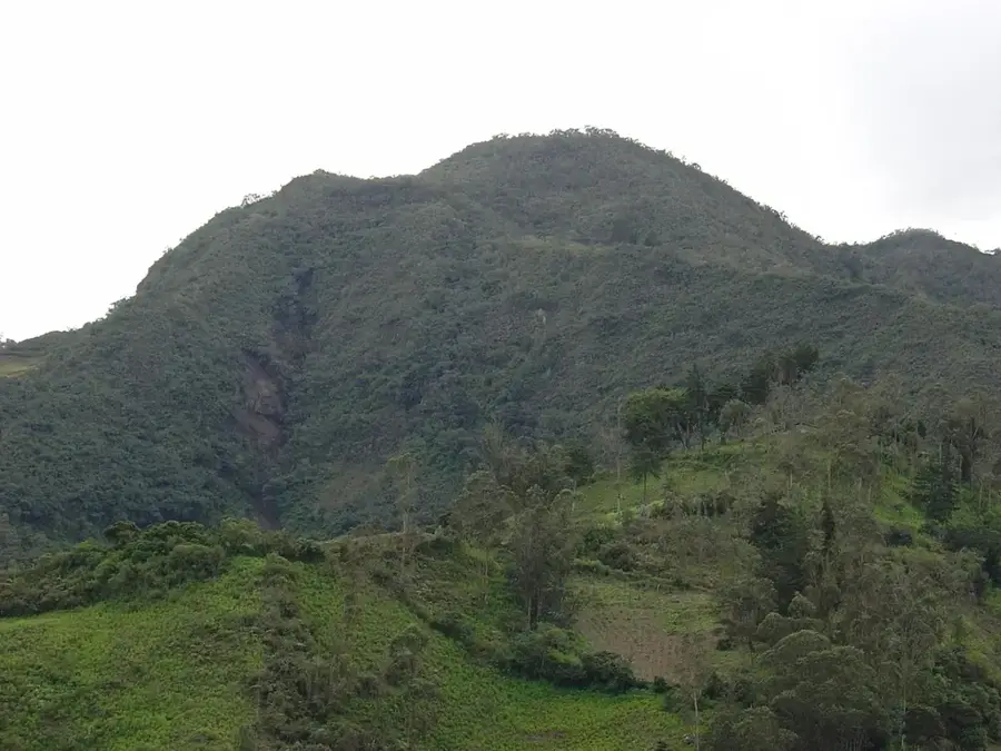
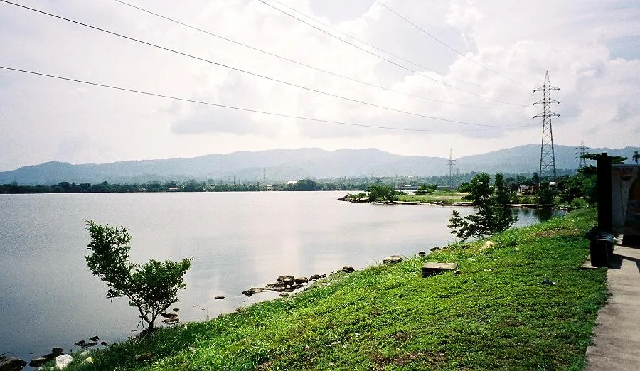
The Chamelecón River is one of the most significant waterways in northern Honduras, originating in the rugged mountains of the Copán Department. It flows for approximately 200 kilometers in a northeasterly direction, traversing the economically vital Sula Valley before emptying into the Caribbean Sea east of Puerto Cortés. Geographically, the river acts as a lifeblood for regional agriculture, with its fertile banks extensively utilized for the cultivation of bananas and sugarcane. The river passes near the industrial hub of San Pedro Sula, making it both an essential resource and a major ecological challenge due to urban proximity. Historically, the Chamelecón served as an important transportation route for indigenous cultures and later for the burgeoning fruit industry in the early 20th century. Wildlife along the river includes crocodiles, iguanas, and a diverse array of waterfowl, though industrial runoff poses ongoing threats to these habitats. In recent years, significant efforts have been directed toward improving flood control measures and enhancing water quality through stricter environmental regulations for factories and municipalities.
- Location: Honduras
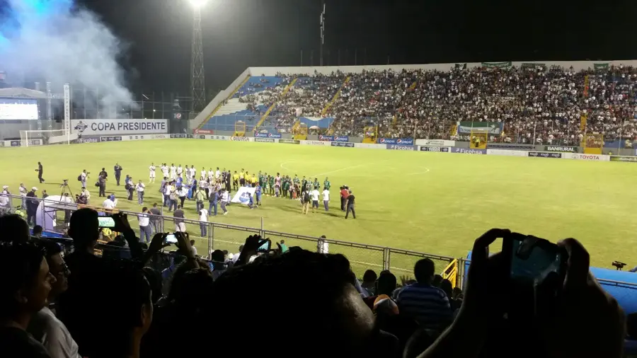
- Top sights: Puerto Cortés · Estadio Excélsior
- Nearby: Villanueva (4 km)
Best time to visit & climate
The most pleasant time to visit is Feb–Apr.
| Jan | Feb | Mar | Apr | May | Jun | Jul | Aug | Sep | Oct | Nov | Dec | |
|---|---|---|---|---|---|---|---|---|---|---|---|---|
| Avg °C | 24 | 25 | 26 | 27 | 28 | 28 | 28 | 28 | 28 | 27 | 26 | 25 |
| Rain mm | 147 | 106 | 78 | 48 | 107 | 180 | 173 | 163 | 179 | 222 | 226 | 156 |
📋 Practical info
Geography
Facts
- The river spans a total length of approximately 200 kilometers.
- It is a primary source of seasonal flooding within the Sula Valley region.
- The river discharges into the Caribbean Sea near the port of Puerto Cortés.
- Major tributaries include the Jicatuyo and Helado Rivers.
- Annual discharge rates fluctuate significantly between wet and dry seasons.
- Numerous industrial processing plants are situated along its lower reaches.
Explore nearby
Notable places around
Route planner — Car & Motorhome
Where do you start? We build the route here, with stops and country notes along the way.
© OpenStreetMap contributors · OpenRouteService
Sights in the town Chamelecón River (2)
Sights nearby
Frequently asked questions
What cities does the Chamelecón River flow through?
Can you go boating on the river?
Is the river used for agriculture?
Are there flood risks?
What birds can be seen on the banks?
Chamelecón River: where is it located?
Chamelecón River: what is there to see?
Chamelecón River: when is the best time to visit?
Chamelecón River: why is it worth visiting?

Nearby cities

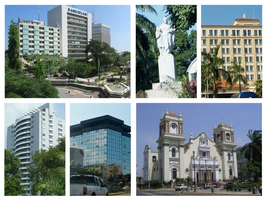
History & landmarks

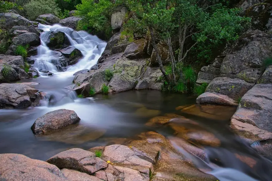
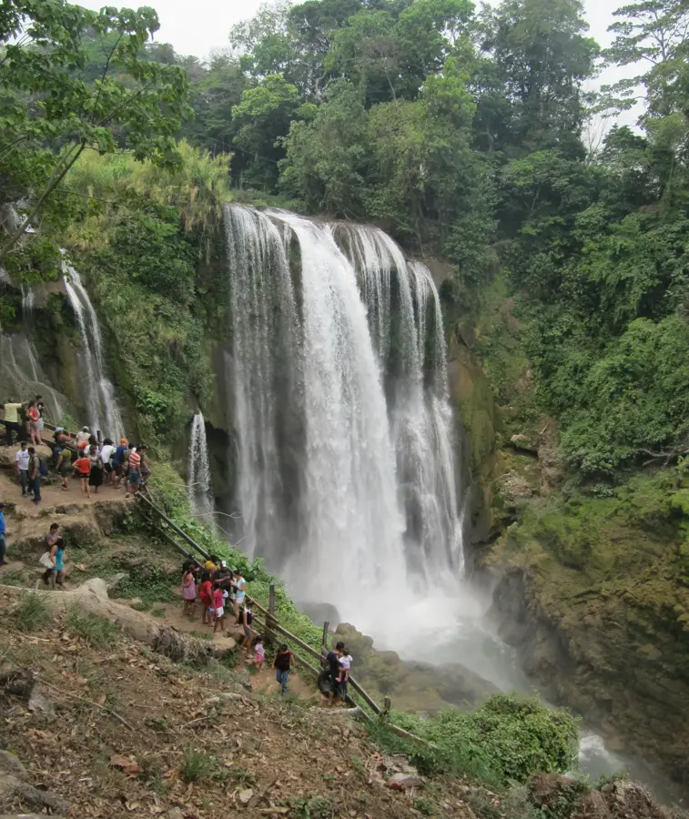
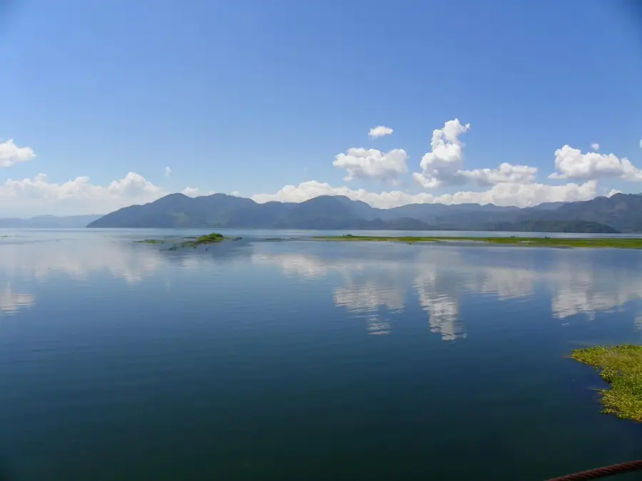
Nature
More places