Plizio Visual Lab
Coca-Cola Sign San Pedro Sula
Weather…
Water temperature…
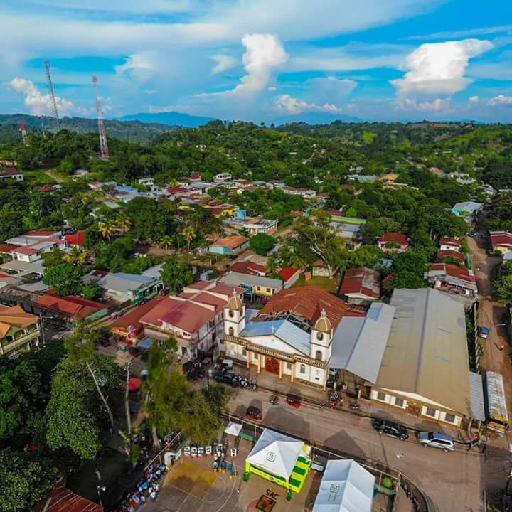
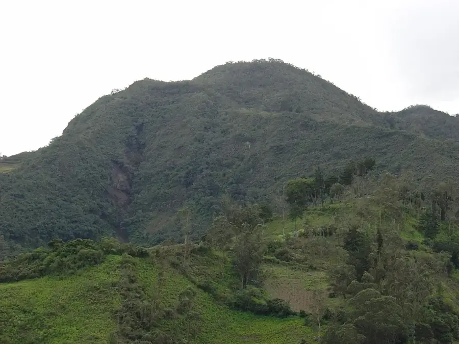
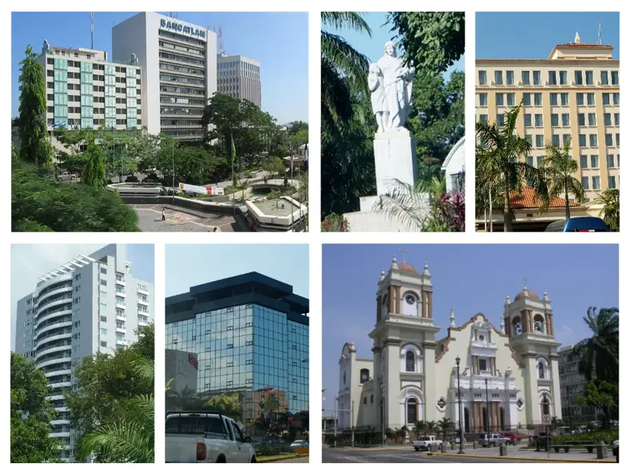
The Coca-Cola Sign in San Pedro Sula is a prominent landmark situated on the slopes of the Merendón mountain range. Erected in 1970, this massive structure measures 73 meters in length and 25 meters in height, making it one of the largest advertising signs in Central America. Beyond its commercial origins, the site has evolved into the city's most popular destination for hiking and outdoor fitness activities. The steep trail leading up to the sign is frequented daily by locals seeking both exercise and a natural escape from the urban environment. From the vantage point at the sign's base, visitors are treated to an expansive panoramic view of the Sula Valley and the industrial heart of Honduras. The illuminated letters serve as a constant visual reference point for the city's residents during the night hours.
- Location: Honduras
- Top sights: San Pedro Sula Mosque · San Pedro Sula · Maguen David Synagogue
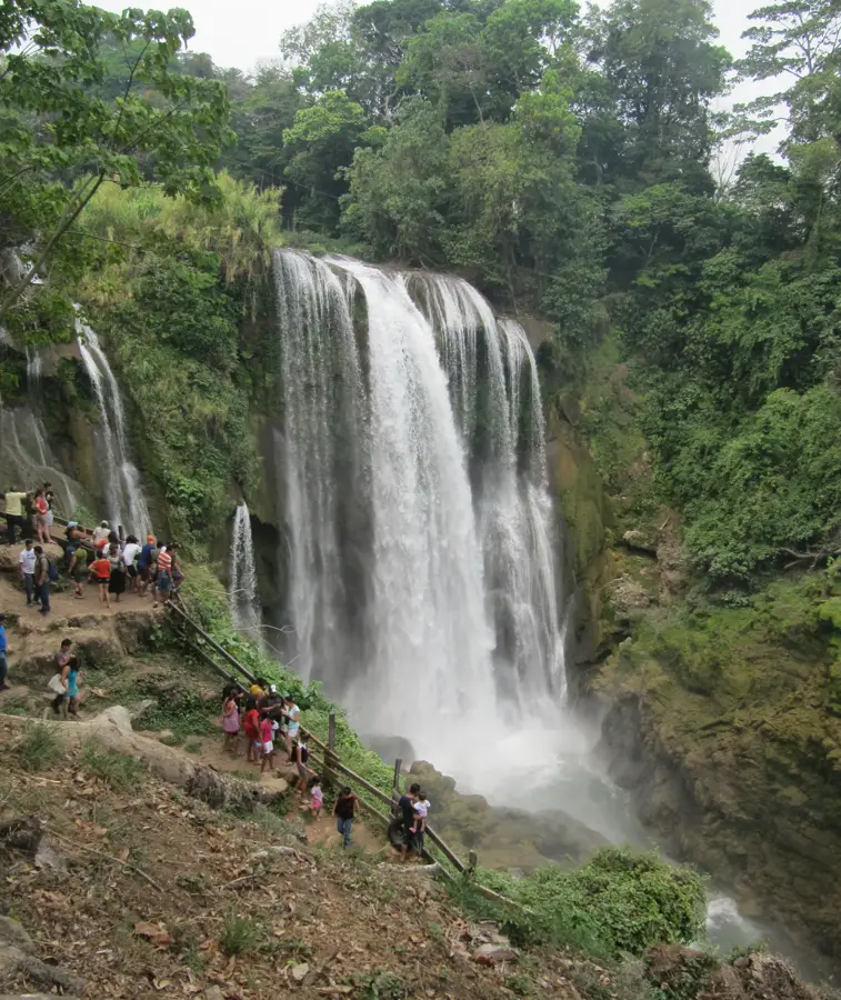
- Nearby: Pulhapanzak (5 km)
Best time to visit & climate
The most pleasant time to visit is Jan–Mar.
| Jan | Feb | Mar | Apr | May | Jun | Jul | Aug | Sep | Oct | Nov | Dec | |
|---|---|---|---|---|---|---|---|---|---|---|---|---|
| Avg °C | 22 | 23 | 24 | 26 | 27 | 26 | 26 | 26 | 26 | 25 | 23 | 23 |
| Rain mm | 111 | 83 | 64 | 44 | 105 | 170 | 158 | 153 | 179 | 187 | 174 | 118 |
📋 Practical info
Geography
Facts
- Built in 1970 on the Merendón hillside
- Total length of the sign is 73 meters
- The letters stand 25 meters tall
- The hiking trail covers approximately 2.5 kilometers
- Located at an elevation of about 500 meters
- Major hub for daily outdoor exercise in the city
Explore nearby
Notable places around
Route planner — Car & Motorhome
Where do you start? We build the route here, with stops and country notes along the way.
© OpenStreetMap contributors · OpenRouteService
Sights in the town Coca-Cola Sign San Pedro Sula (3)
Sights nearby
Frequently asked questions
What is the Coca-Cola sign?
How difficult is the climb?
Is there a lookout point?
When should you do the hike?
Is the trail lit?
Coca-Cola Sign San Pedro Sula: where is it located?
Coca-Cola Sign San Pedro Sula: what is there to see?
Coca-Cola Sign San Pedro Sula: when is the best time to visit?
Coca-Cola Sign San Pedro Sula: why is it worth visiting?

Nearby cities
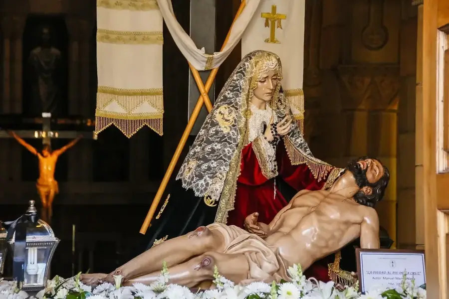
History & landmarks
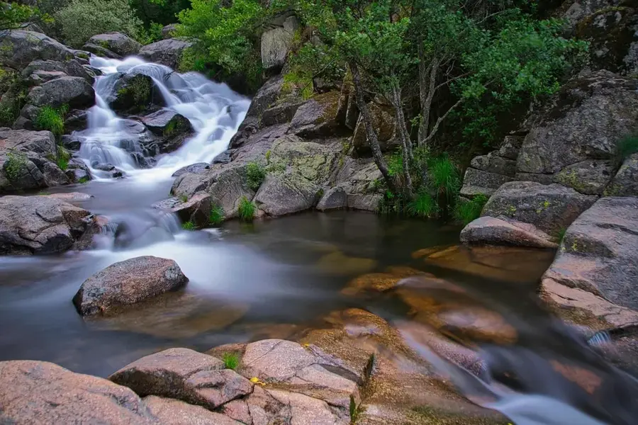
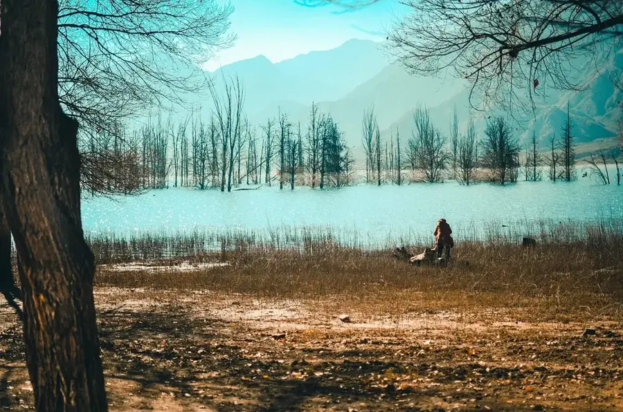
Nature
More places