Plizio Visual Lab
Quimistán
ℹ️Practical info — Quimistán
▾
🌤 Weather — 5 days
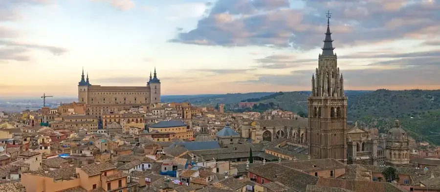
📍 Nearby
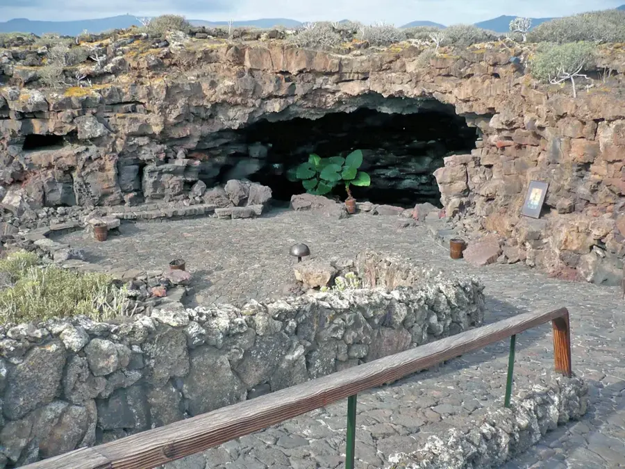
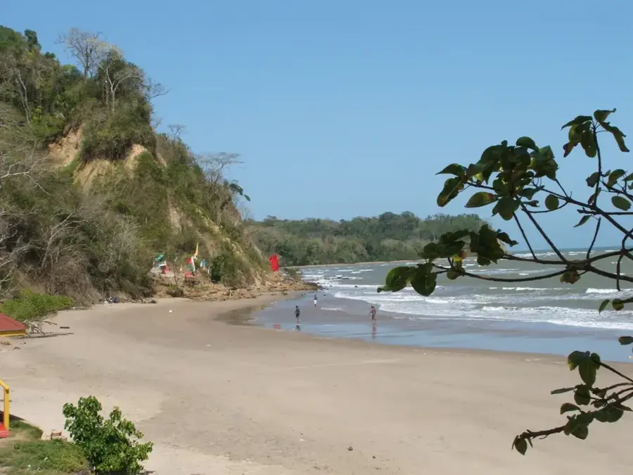
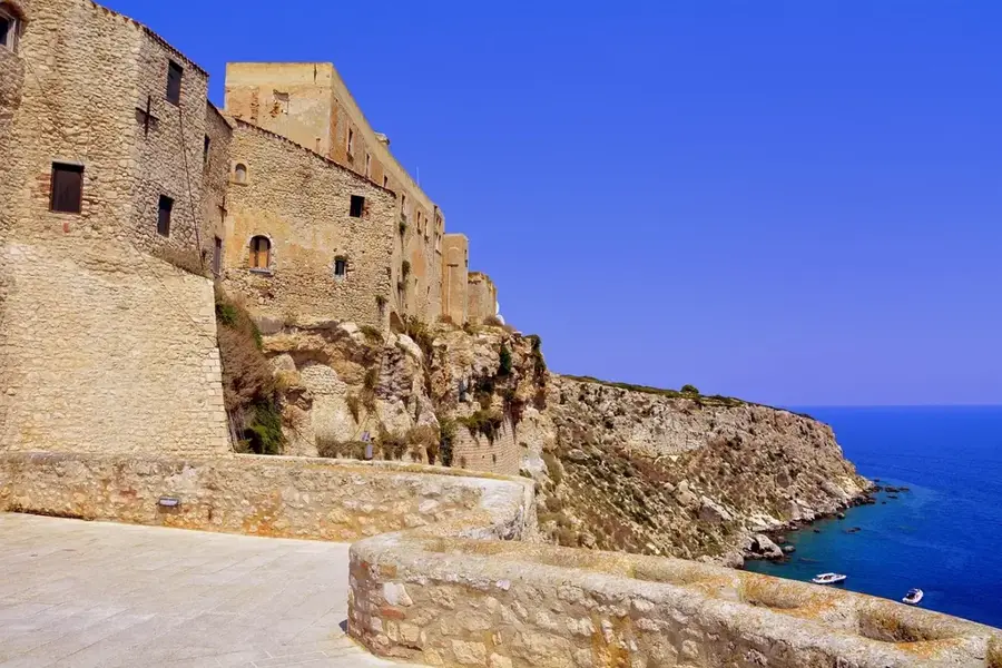
Sights nearby
💡 Tips
- Visit the local agricultural markets early in the morning for the freshest produce.
- Transportation between the dispersed rural villages is best done by local pickup trucks (pailas).
- Bring cash, as ATMs may be scarce outside the town center.
- The climate can be warm and humid, so pack lightweight clothing and stay hydrated.
🍽 Food
Try a cup at a small cafe around the central plaza.
Find this classic Honduran dish at street food stands in the evening.
Look for vendors selling these sweet corn tamales near the market area.
🛍 Shopping · 🧘 Quiet spots
Buy directly from farmers at the central market in the morning.
Try the fresh cheese (queso fresco) sold by local producers.
A relaxing spot to sit under the trees and observe local life in the late afternoon.
Take a quiet walk along the dirt roads just outside the town center to see the farms.
Water temperature…
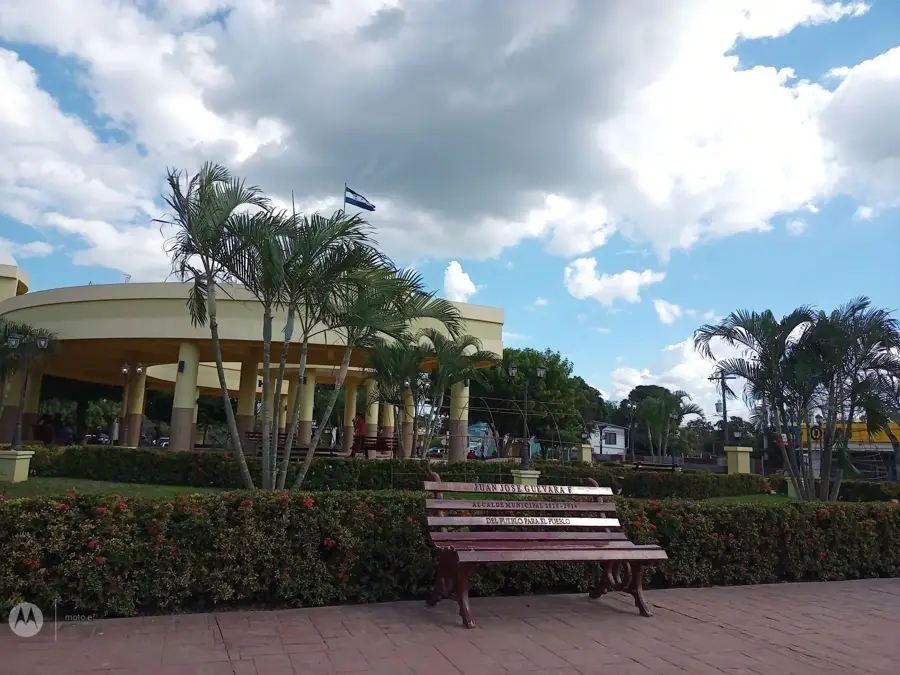
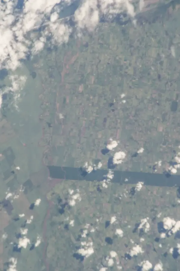
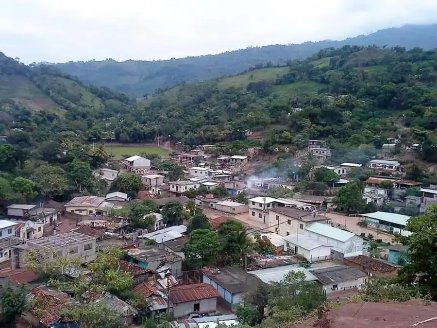
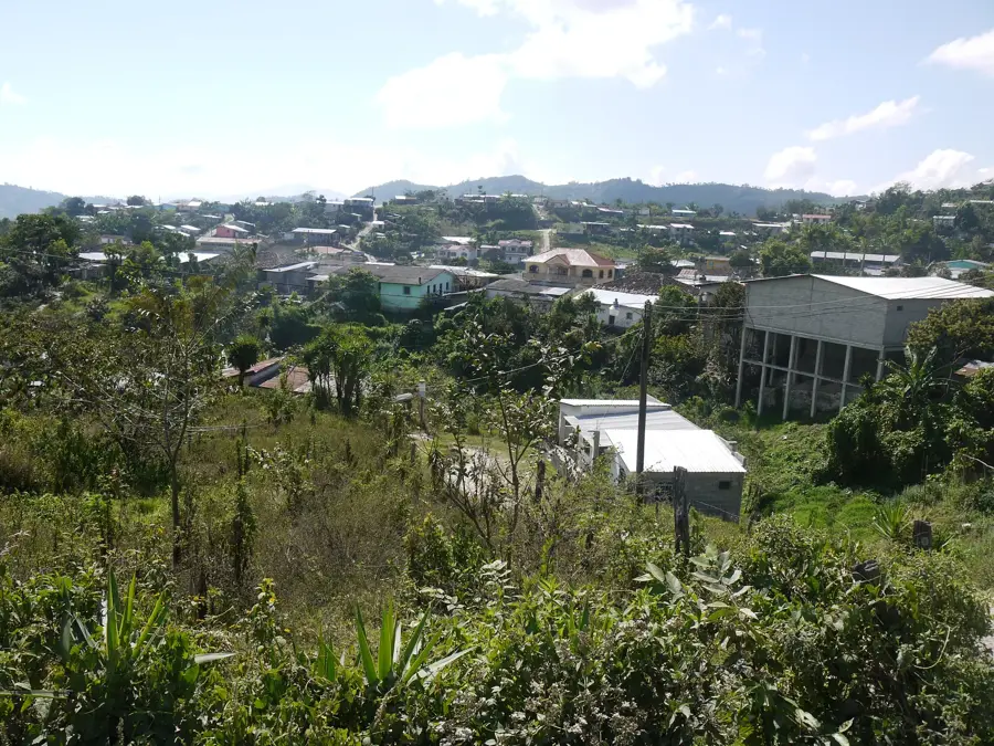
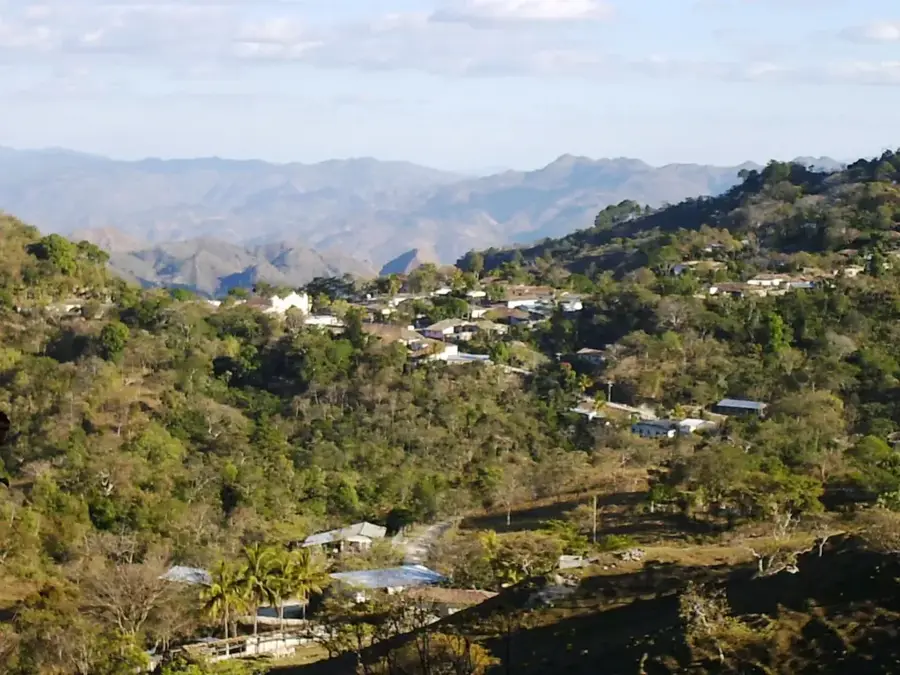
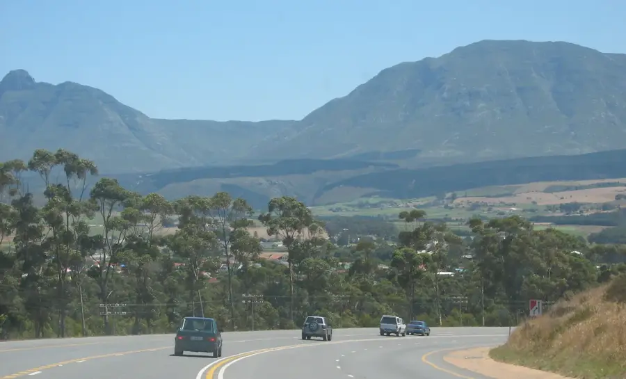
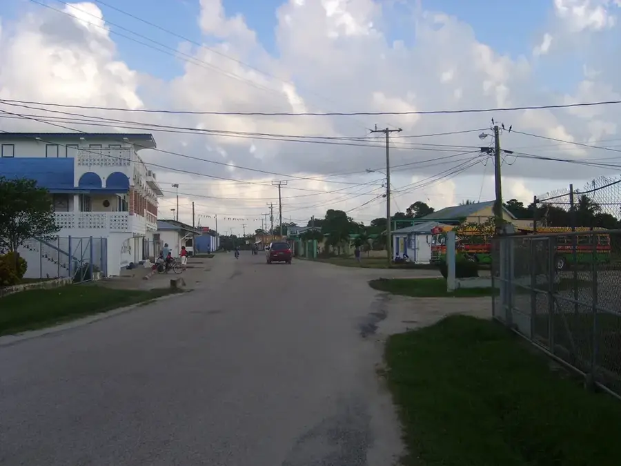
Quimistán is a large municipality in Santa Bárbara Department in western Honduras, with a wide range of agricultural production. It lies in the fertile valley of the Chamelecón River along a major transport axis linking San Pedro Sula with the western highlands. Economically it combines corn and bean cultivation, bananas, coffee on higher slopes, cattle ranching, dairy operations and small industry. Its population is spread across numerous villages along main and secondary roads, making it one of the most populous municipalities of Santa Bárbara. In the main town a central plaza, the parish church and compact commercial streets define the urban core. Proximity to the main highway sharply improves market access. Quimistán neatly illustrates how a large rural municipality blends economy, transport and rural diversity in a western-Honduran valley.
- Location: Honduras
- Nearby: El Níspero (4 km)
- Population: ~47.993 (2026)
Best time to visit & climate
The most pleasant time to visit is Jan–Mar.
| Jan | Feb | Mar | Apr | May | Jun | Jul | Aug | Sep | Oct | Nov | Dec | |
|---|---|---|---|---|---|---|---|---|---|---|---|---|
| Avg °C | 22 | 23 | 24 | 26 | 27 | 26 | 25 | 25 | 25 | 24 | 23 | 22 |
| Rain mm | 105 | 78 | 61 | 51 | 127 | 214 | 188 | 195 | 227 | 205 | 174 | 113 |
Geography
Facts
- Coffee, grains, livestock
- Mountainous and flat areas
- Chamelecón River
- Archaeological sites nearby
Explore nearby
Notable places around
Route planner — Car & Motorhome
Where do you start? We build the route here, with stops and country notes along the way.
© OpenStreetMap contributors · OpenRouteService
Frequently asked questions
What is Quimistán known for?
Are there attractions in the center?
What is the climate in Quimistán?
What can be eaten locally?
How is the connection to the north coast?
Quimistán: where is it located?
Quimistán: when is the best time to visit?
Quimistán: why is it worth visiting?

Nearby cities
History & landmarks
More places