Plizio Visual Lab
Sierra de Atá
Weather…
Water temperature…
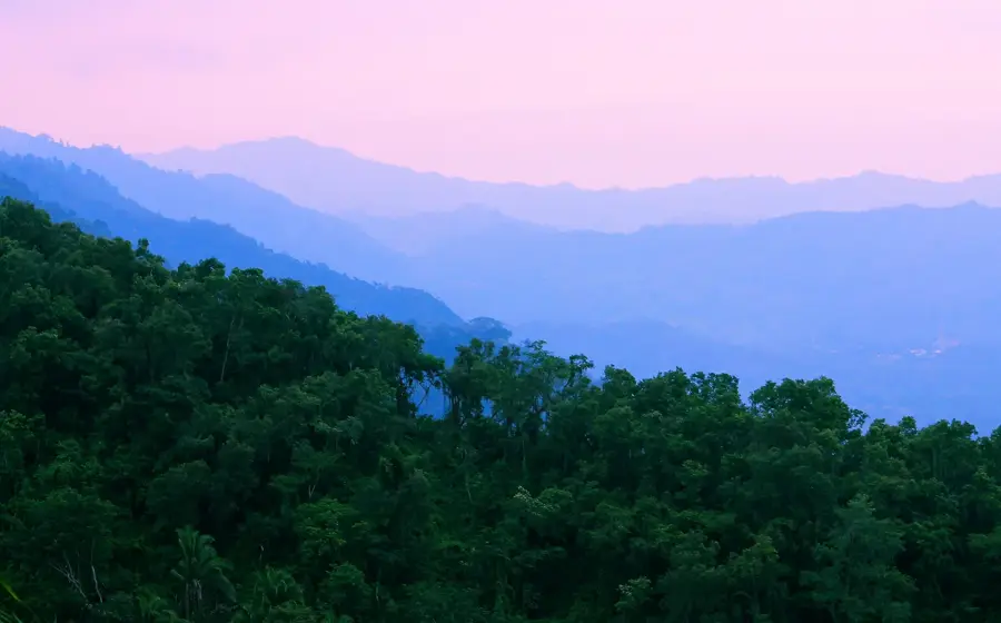
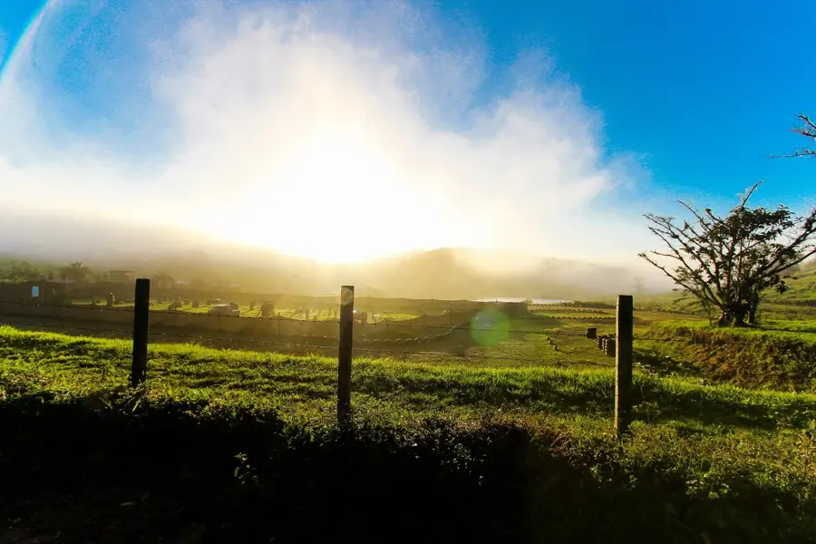
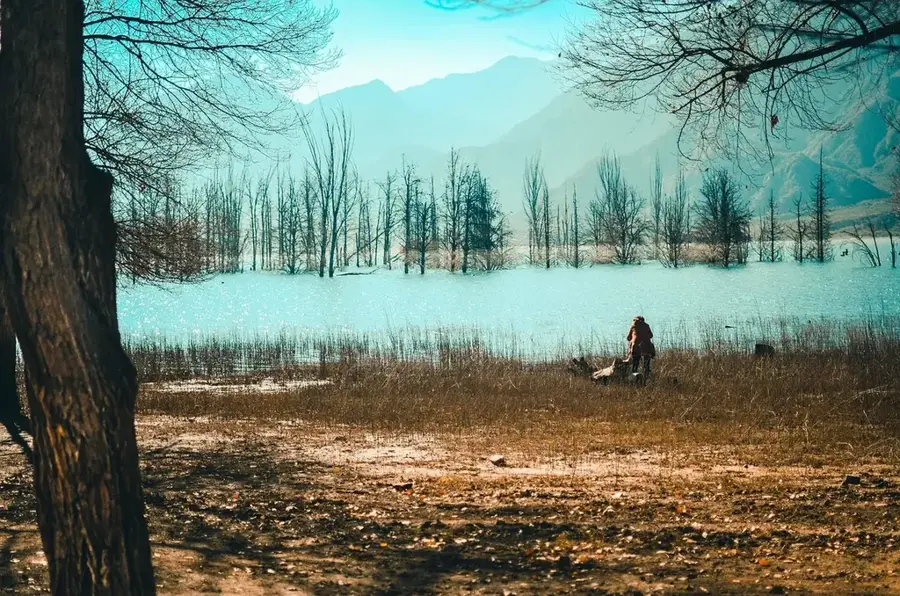
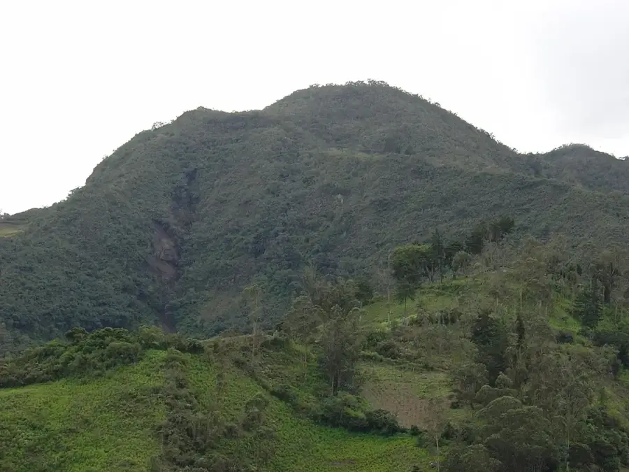
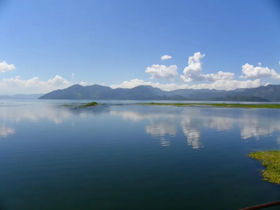
The Sierra de Atá is a rugged mountain range in western Honduras, distinguished by its geological complexity and biological diversity. The terrain is characterized by steep slopes and deeply incised valleys covered in a mosaic of tropical dry forest and highland pine-oak forests. Geographically, the Sierra serves as a vital ecological bridge between the central and western highland regions. It provides a sanctuary for numerous wildlife species, including small cats and birds of prey. In the cooler high altitudes, the soil is well-suited for high-quality coffee production. Due to its challenging topography, the region remains sparsely populated, offering a glimpse into Honduras's pristine wilderness. History: Historically, these mountains presented a significant barrier to infrastructure development, which helped preserve the area's natural state.
- Location: Honduras
- Nearby: Jesús de Otoro (11 km)
Best time to visit & climate
The most pleasant time to visit is Jan–Mar.
| Jan | Feb | Mar | Apr | May | Jun | Jul | Aug | Sep | Oct | Nov | Dec | |
|---|---|---|---|---|---|---|---|---|---|---|---|---|
| Avg °C | 20 | 22 | 23 | 25 | 25 | 24 | 24 | 24 | 23 | 22 | 21 | 20 |
| Rain mm | 63 | 48 | 39 | 41 | 123 | 184 | 149 | 162 | 200 | 166 | 111 | 70 |
📋 Practical info
Geography
Facts
- Defined by its highly rugged and steep topography.
- Acts as an ecological link between central and western ranges.
- Productive region for specialty highland coffee.
- Features a biodiverse mix of dry and montane forests.
- Sparsely populated area with high wilderness integrity.
- Crucial seasonal corridor for migratory raptors.
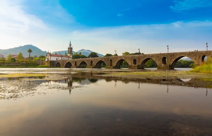
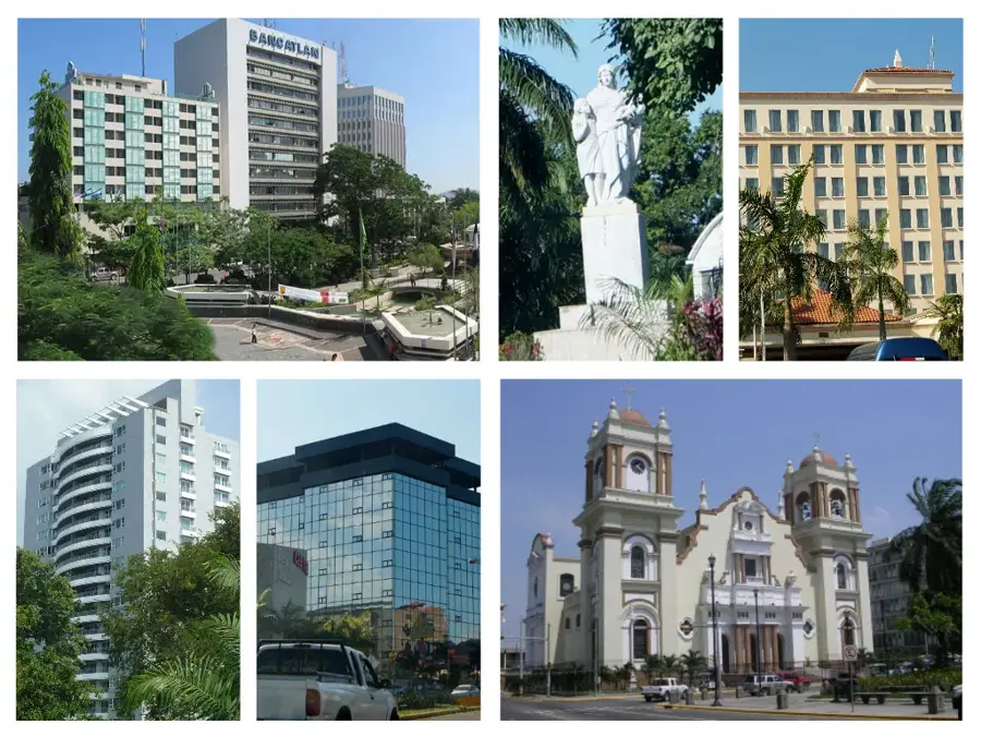
Explore nearby
Notable places around
Route planner — Car & Motorhome
Where do you start? We build the route here, with stops and country notes along the way.
© OpenStreetMap contributors · OpenRouteService
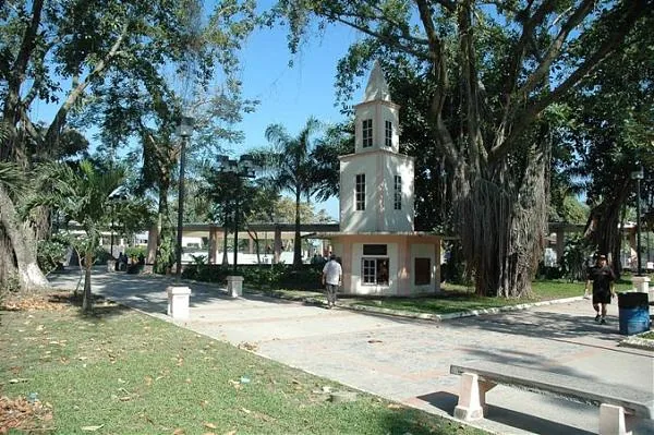
Sights in the town Sierra de Atá (1)
Sights nearby
Frequently asked questions
Where is the Sierra de Atá located?
Is the area developed for tourism?
What vegetation predominates here?
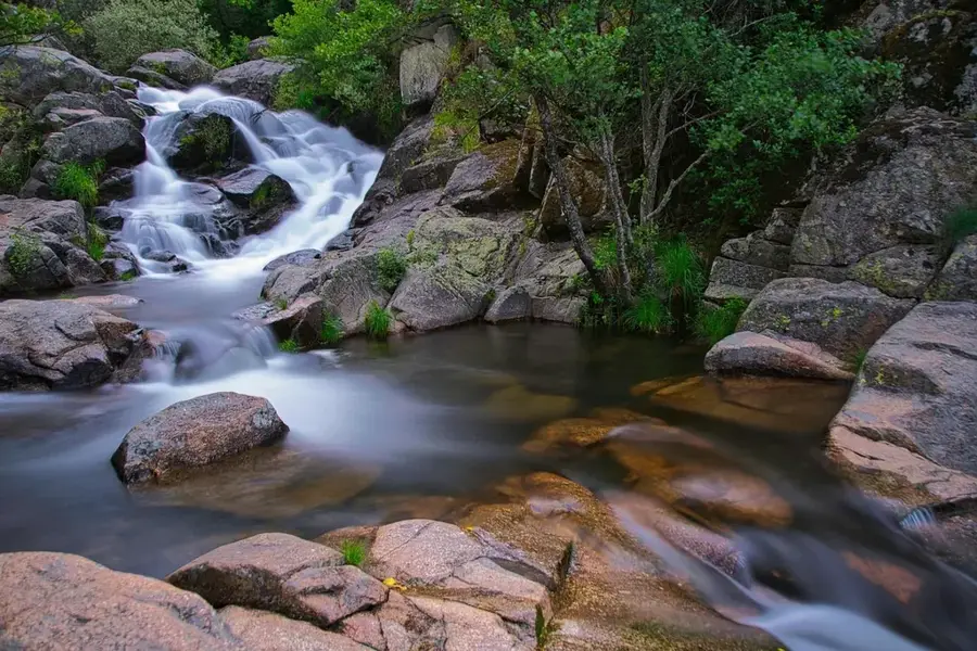
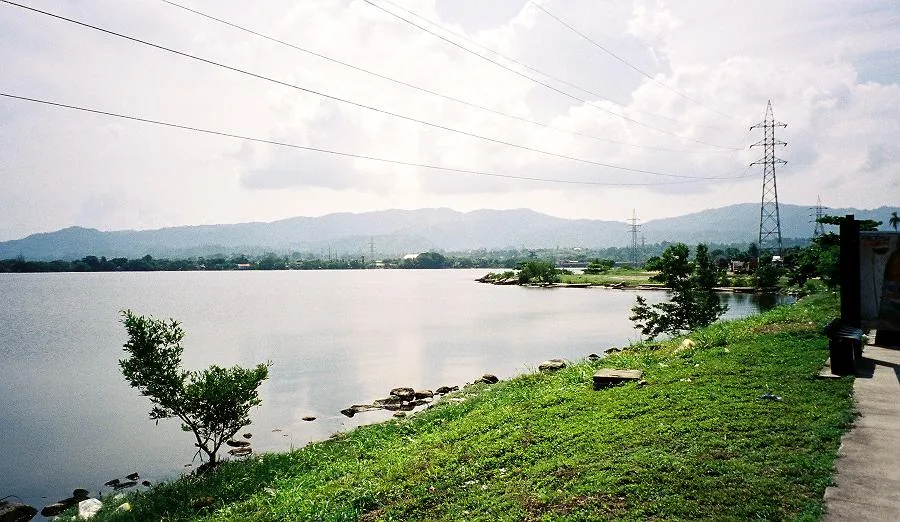
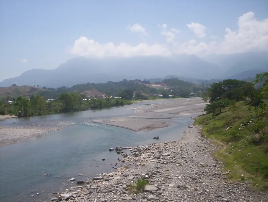
Are there water sources in the mountains?
What clothing is suitable for tours?
Sierra de Atá: where is it located?
Sierra de Atá: when is the best time to visit?
Sierra de Atá: why is it worth visiting?

Nearby cities

History & landmarks


Nature
More places