Plizio Visual Lab
Azacualpa

ℹ️Practical info — Azacualpa
▾
🌤 Weather — 5 days
📍 Nearby
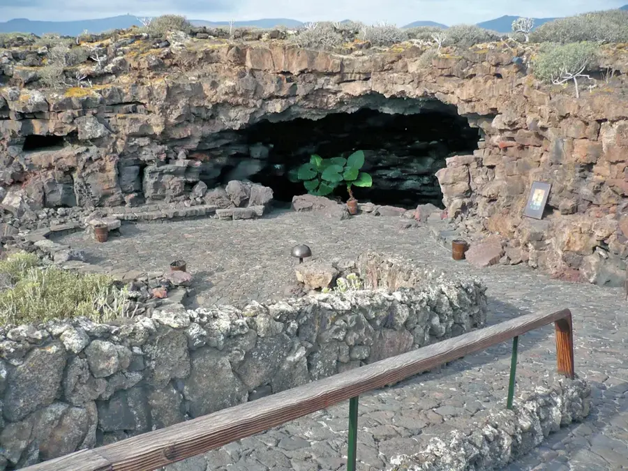
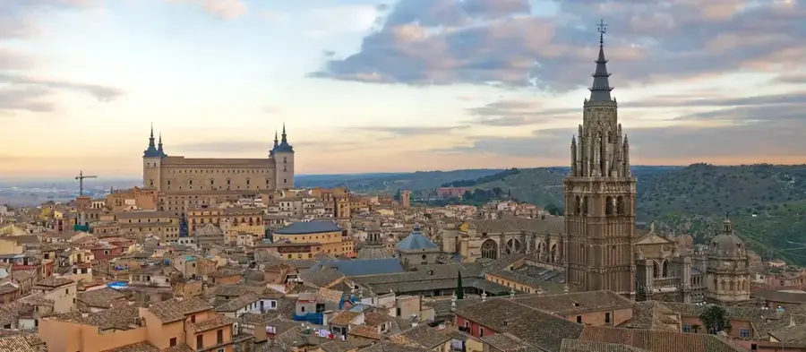
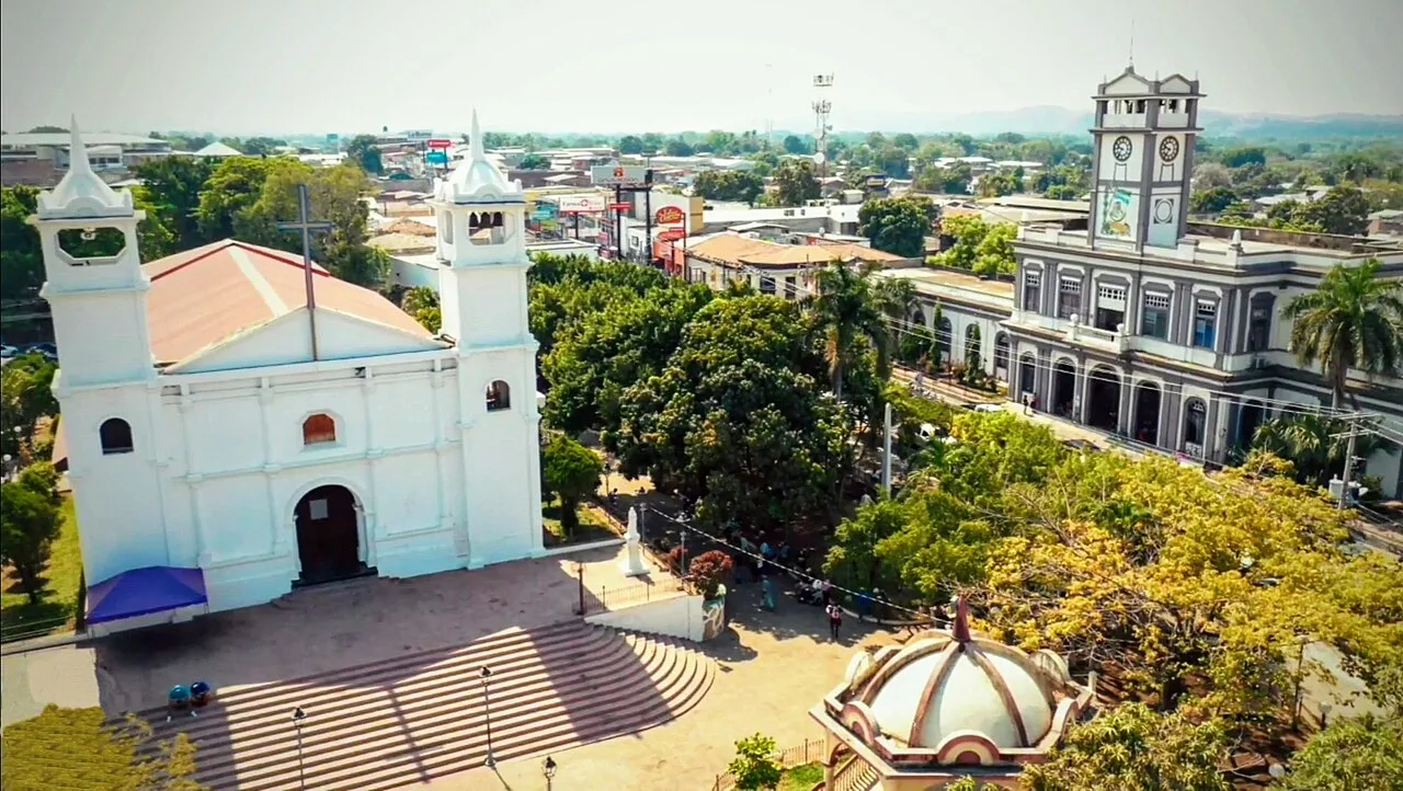
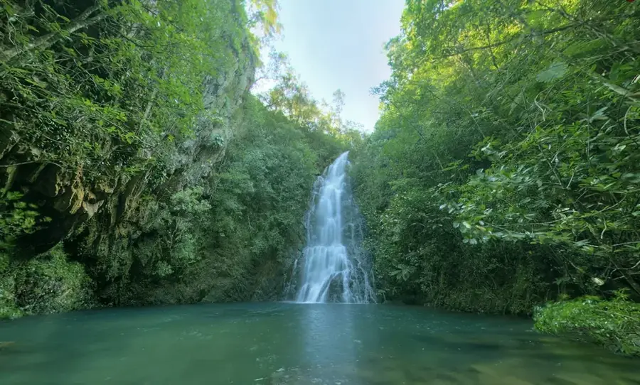
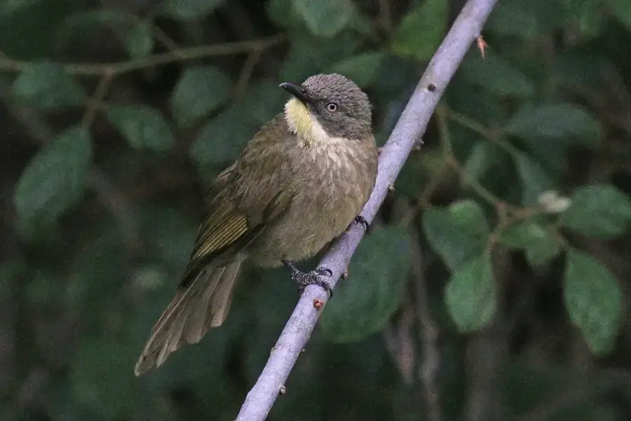
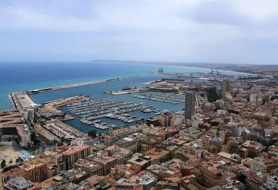
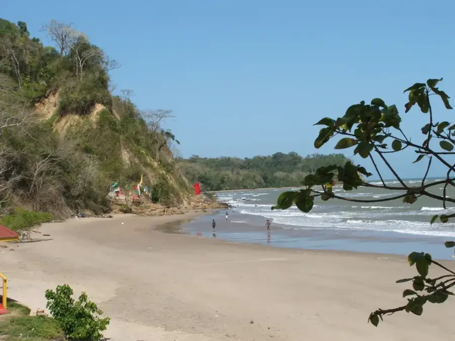
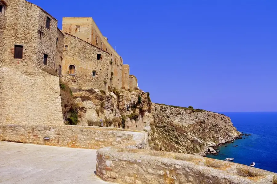
Sights nearby
💡 Tips
- The town has a strong agricultural and mining history; expect early mornings as locals head to work.
- The terrain is mountainous; sturdy shoes are a must if you plan to explore beyond the town center.
- Rain can be unpredictable; always carry a light rain jacket.
- Collectivos (shared vans) are the cheapest way to reach nearby natural attractions or larger cities.
🍽 Food
Grab these hearty flour tortillas filled with beans, cheese, and cream from small comedores around the central plaza.
Being in a mountainous region, the local cafes serve excellent coffee brewed from locally grown beans.
Enjoy grilled meats with plantains at informal eateries on weekend evenings.
🛍 Shopping · 🧘 Quiet spots
Best visited in the morning for fresh tropical fruits, vegetables, and regional dairy products.
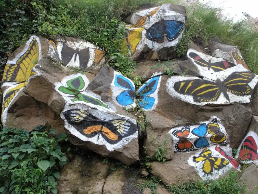
Look for small local workshops producing leather goods or traditional ceramics.
A classic shaded plaza where you can sit on a bench and watch the slow pace of town life.
Take a short hike up the outskirts for a panoramic, quiet view of the valley and the town.
Water temperature…
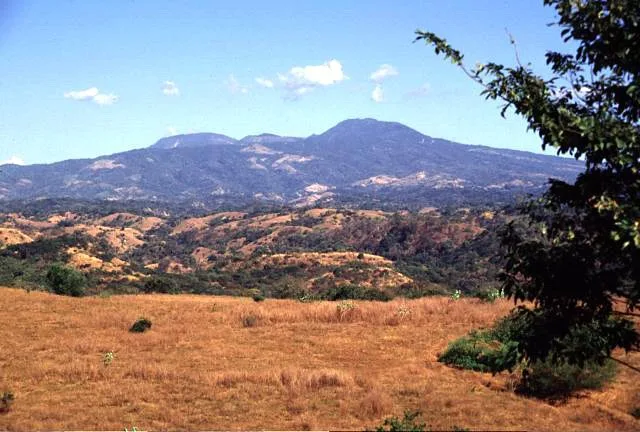
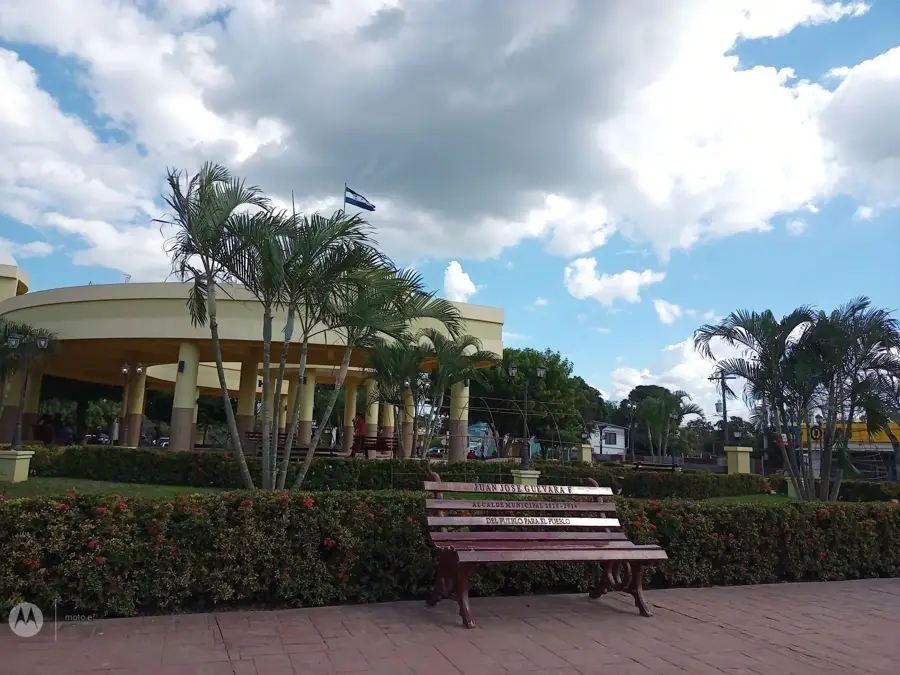
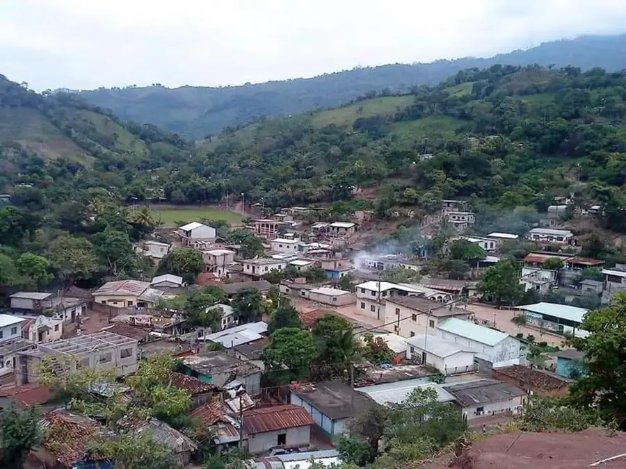
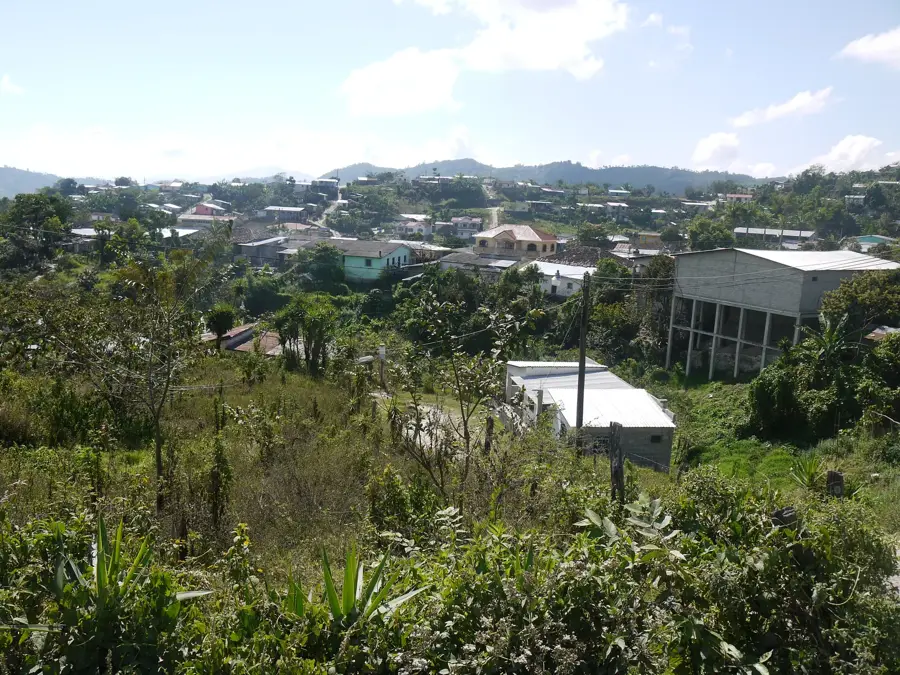
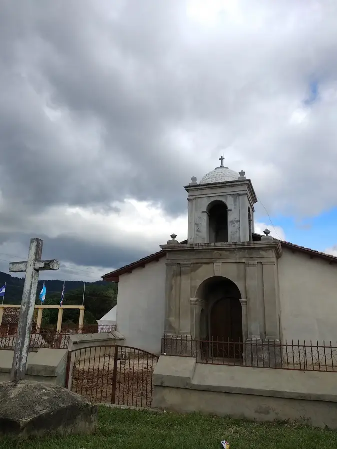
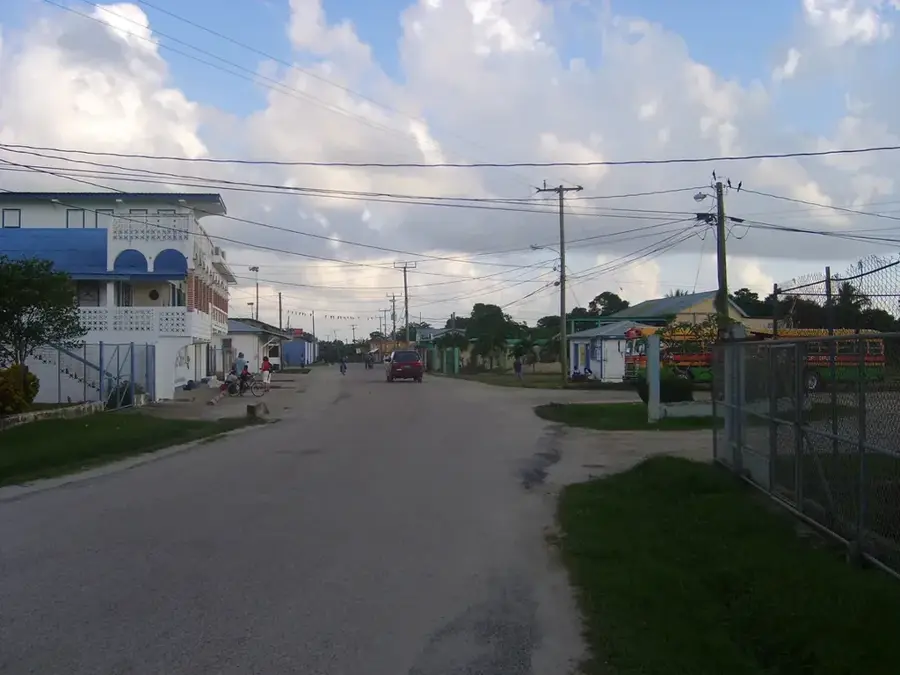
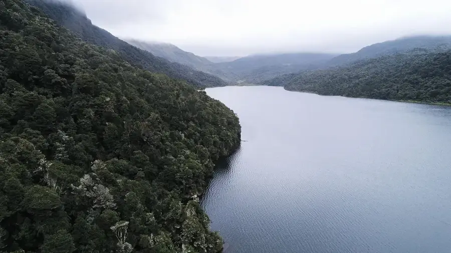
Azacualpa is a mountain municipality in Santa Bárbara Department in western Honduras, located in a varied landscape of ranges, forests and river valleys. Historically it has been shaped by a blend of mining, farming and rural community life: river-bed gold panning, limestone quarrying, corn and bean fields, coffee patches and cattle ranching all coexist here. The town center is dominated by a classic plaza, the parish church and a few shops that serve the rural population. Its link to the departmental capital Santa Bárbara runs over mountain side roads, which shapes local traffic. The population lives in a network of small villages and hamlets where religious festivals, schools and market days are key reference points. Azacualpa stands as a distinctive example of the mix of mining heritage and farming culture in western Honduras.
- Location: Honduras
- Nearby: San José de Colinas (6 km)
Best time to visit & climate
The most pleasant time to visit is Jan–Mar.
| Jan | Feb | Mar | Apr | May | Jun | Jul | Aug | Sep | Oct | Nov | Dec | |
|---|---|---|---|---|---|---|---|---|---|---|---|---|
| Avg °C | 19 | 21 | 22 | 24 | 25 | 23 | 23 | 23 | 23 | 22 | 20 | 20 |
| Rain mm | 59 | 45 | 38 | 43 | 128 | 197 | 164 | 185 | 217 | 168 | 105 | 68 |
Geography
Facts
- Mining tradition
- Agricultural municipality
- Mountainous surroundings
- Handicrafts
Explore nearby
Notable places around
Route planner — Car & Motorhome
Where do you start? We build the route here, with stops and country notes along the way.
© OpenStreetMap contributors · OpenRouteService
Frequently asked questions
What is the main attraction of Azacualpa?
Are the thermal springs open to the public?
When is the best time to go?
Are there mining activities nearby?
What is the temperature of the springs?
Azacualpa: where is it located?
Azacualpa: when is the best time to visit?
Azacualpa: why is it worth visiting?

Nearby cities
History & landmarks
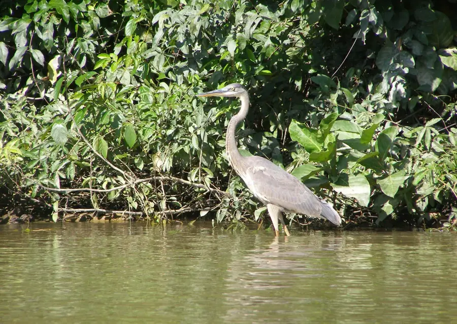
Nature
More places