Plizio Visual Lab
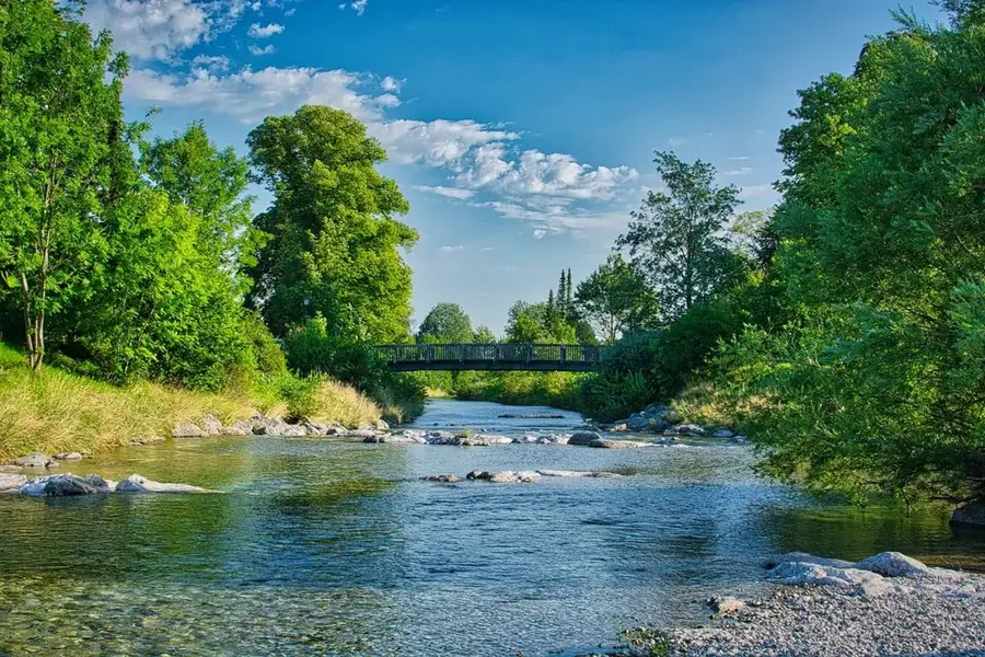
Upper Lempa River
Weather…
Water temperature…
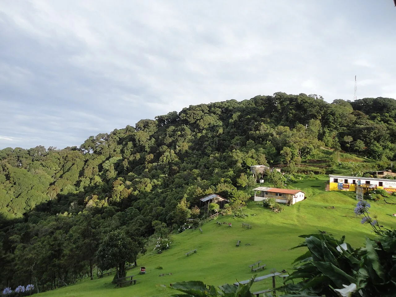
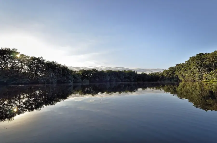
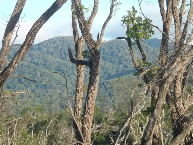
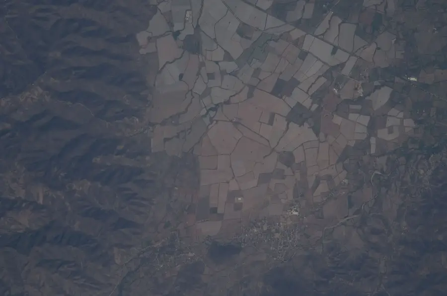
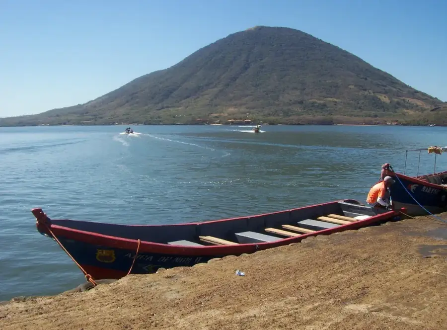
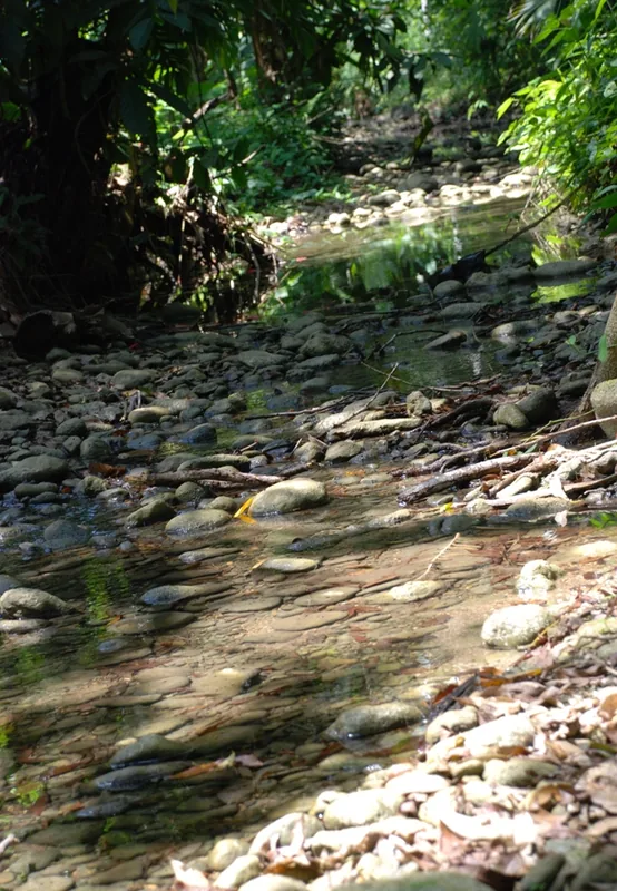
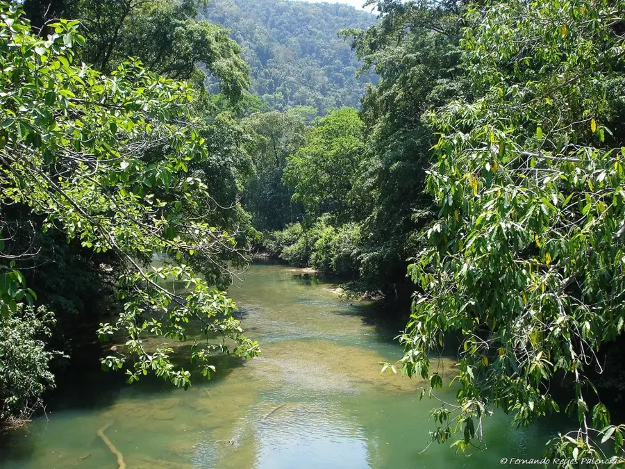
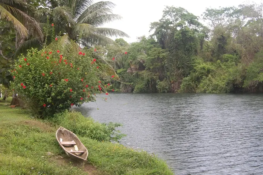
The upper reaches of the Rio Lempa represent a critical geographical and ecological segment of one of Central America's longest rivers. The river originates in the mountains of Guatemala near Olopa and flows briefly through the Ocotepeque department in southwestern Honduras before continuing its long journey through El Salvador to the Pacific Ocean. This upper section is characterized by deep valleys, steep gradients, and vegetation ranging from subtropical rainforests to pine woodlands. The hydrology of the upper Lempa is of strategic importance to the entire region, serving as the foundation for water supply, irrigation, and hydroelectric power generation across three nations. Historically, the Lempa basin was home to significant indigenous cultures and later served as a frontier zone during the colonial era. Today, transboundary cooperation under the Rio Lempa Trinational Plan is vital for protecting the river from pollution and unsustainable usage. The rich fish fauna and its importance as a migratory bird corridor make the upper reaches a primary focus for regional environmental conservation efforts.
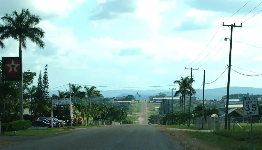
- Location: Honduras
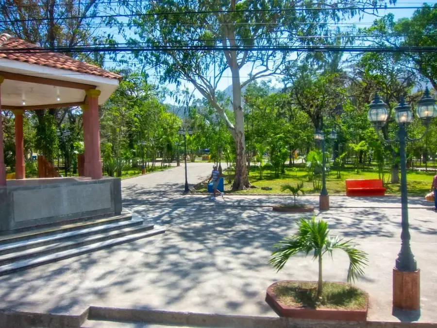
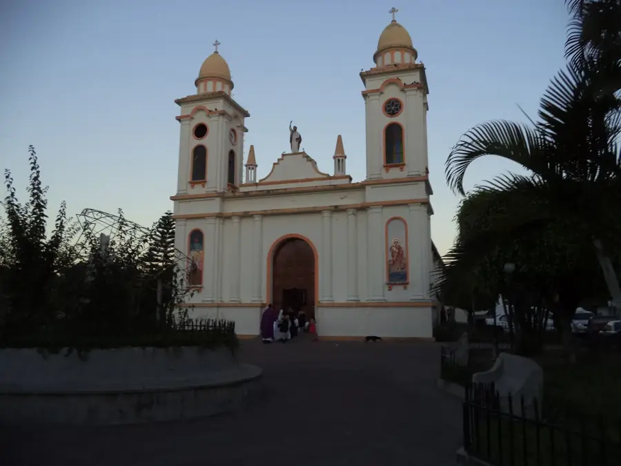
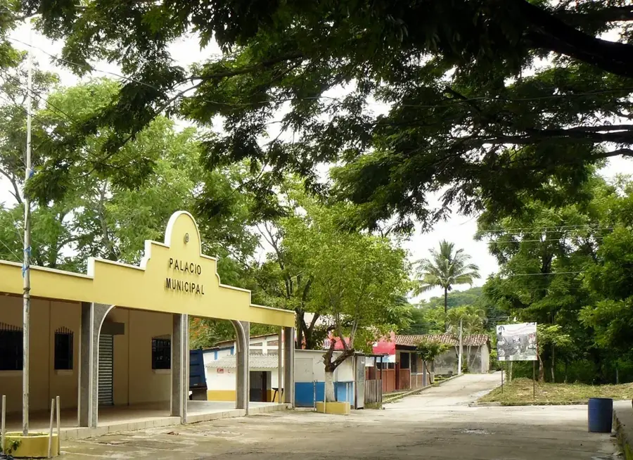
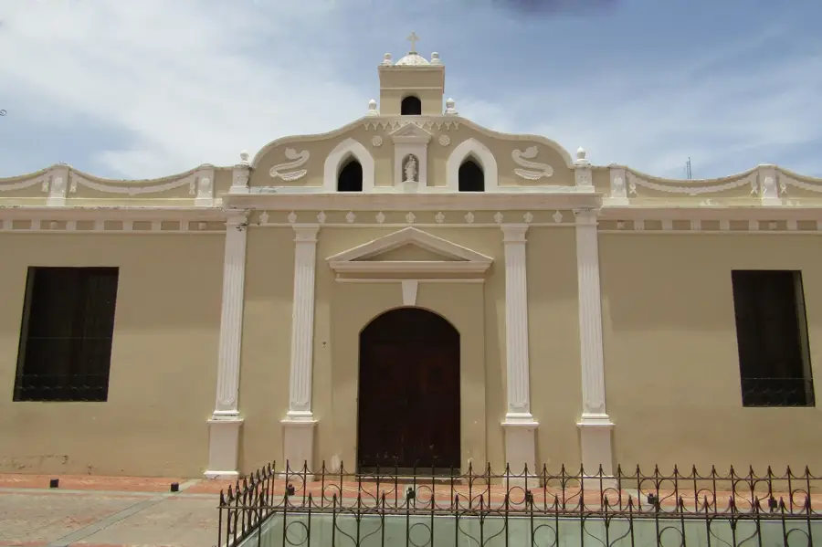
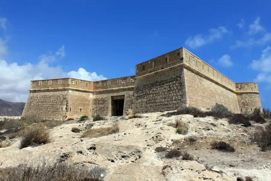
- Top sights: La Labor · Santa Efigenia
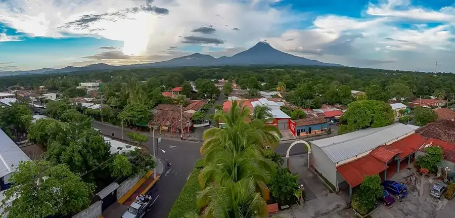
- Nearby: San Agustín (7 km)
Best time to visit & climate
The most pleasant time to visit is Jan–Mar.
| Jan | Feb | Mar | Apr | May | Jun | Jul | Aug | Sep | Oct | Nov | Dec | |
|---|---|---|---|---|---|---|---|---|---|---|---|---|
| Avg °C | 19 | 21 | 23 | 24 | 24 | 23 | 22 | 23 | 22 | 21 | 20 | 19 |
| Rain mm | 26 | 20 | 19 | 37 | 140 | 193 | 155 | 189 | 218 | 160 | 63 | 36 |
📋 Practical info
Geography
Facts
- The Rio Lempa has a total length of 422 kilometers.
- The upper portion of the river flows through the Ocotepeque department in Honduras.
- It forms part of the international border between Honduras and El Salvador.
- The 'Plan Trifinio' is a tri-national agreement to protect its headwaters.
- The river is the primary source of hydroelectric power for El Salvador.
- The entire river basin covers an area of approximately 18,240 square kilometers.
Explore nearby
Notable places around
Route planner — Car & Motorhome
Where do you start? We build the route here, with stops and country notes along the way.
© OpenStreetMap contributors · OpenRouteService
Frequently asked questions
Where does the Río Lempa originate?
Is the upper course navigable?
What is the significance of the river?
Can you swim in the upper course?
What flora is found on the banks?
Upper Lempa River: where is it located?
Upper Lempa River: what is there to see?
Upper Lempa River: when is the best time to visit?
Upper Lempa River: why is it worth visiting?

Nearby cities


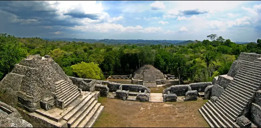
History & landmarks
Nature

More places