Plizio Visual Lab
Asunción Mita
ℹ️Practical info — Asunción Mita
▾
🌤 Weather — 5 days
📍 Nearby
Sights nearby
💡 Tips
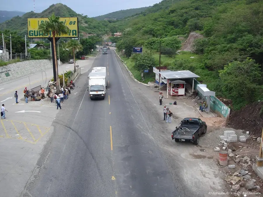
- As a border town near El Salvador, it's a practical stop to rest before crossing.
- The climate is hot and dry, so always carry water and wear sun protection.
- Tuk-tuks are the most convenient way to navigate the bustling streets near the market.
- The local currency is Quetzal, but some shops may accept US Dollars due to the border proximity.
🍽 Food
Thanks to the nearby border, you can find excellent Salvadoran-style pupusas at eateries near the main square.
Traditional Guatemalan tamales available from street vendors in the early evening.
A warm, sweet corn beverage, well-suited for breakfast at the local market.
🛍 Shopping · 🧘 Quiet spots
The central market is the best place to buy fresh tropical fruits and cheap everyday items.
Look for small artisan stalls selling handcrafted belts around the commercial center.
The main plaza has shaded benches to relax and observe daily local life.
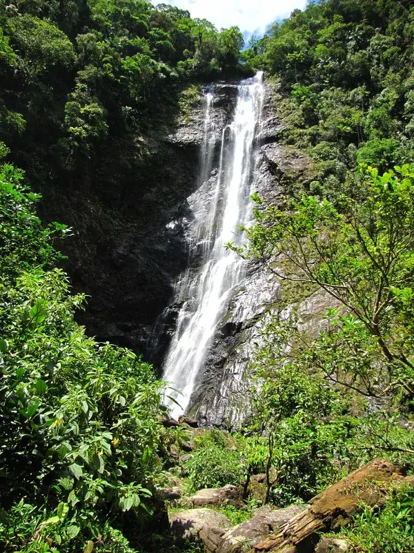
A short drive from the city, this large lake provides peaceful views.
Water temperature…
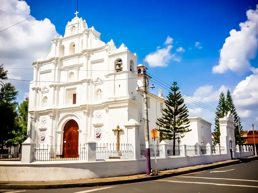
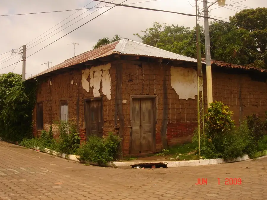
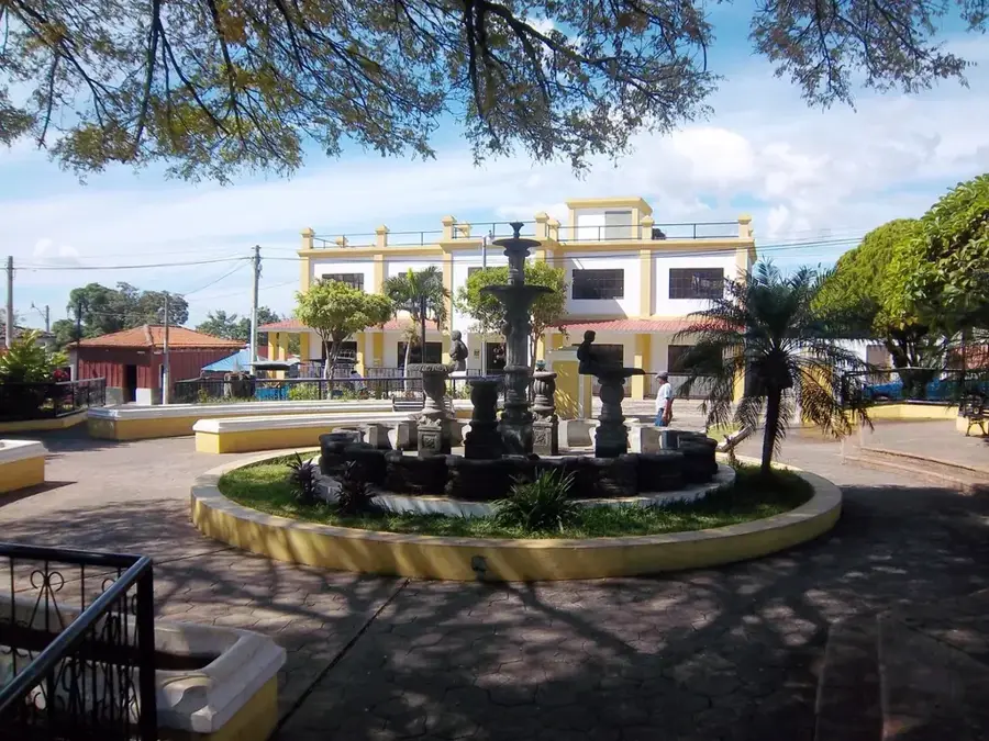
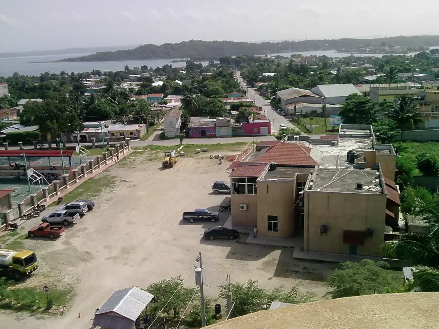
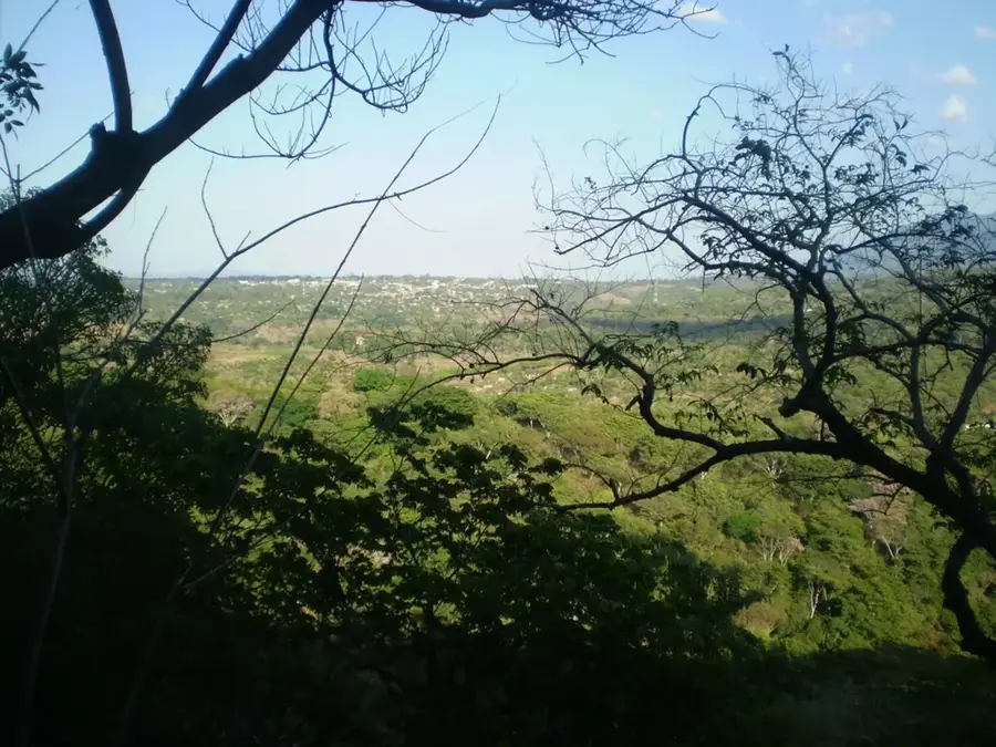
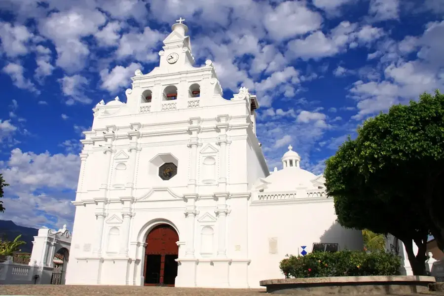
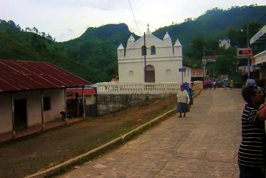
Asunción Mita is a city of profound historical significance located in the Jutiapa Department of southeastern Guatemala, near the border with El Salvador. Its origins date back to the pre-Columbian era when it was known as Mictlán, which in the Nahuatl language means 'Place of the Dead.' During the colonial period, the town was resettled by the Spanish and grew into an important religious and administrative center in the Oriente region. Geographically, Asunción Mita lies in a fertile valley irrigated by the Ostúa River and is situated near Lake Güija, making agriculture the primary economic driver. The city is particularly famous for its production of onions, tomatoes, and melons, which are exported far beyond the national borders. Culturally, Asunción Mita is renowned for its animated traditions, including the festivities in honor of the Assumption of the Virgin Mary in August, which attract thousands of visitors. Additionally, the surroundings host significant archaeological sites like San Juan, providing insight into early Pipil civilizations. Today, the city serves as a dynamic commercial hub and border post, playing a key role in the trade between Guatemala and El Salvador.
- Location: Guatemala
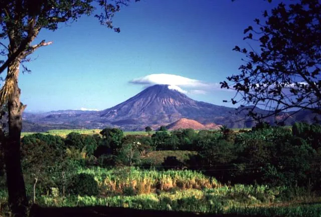
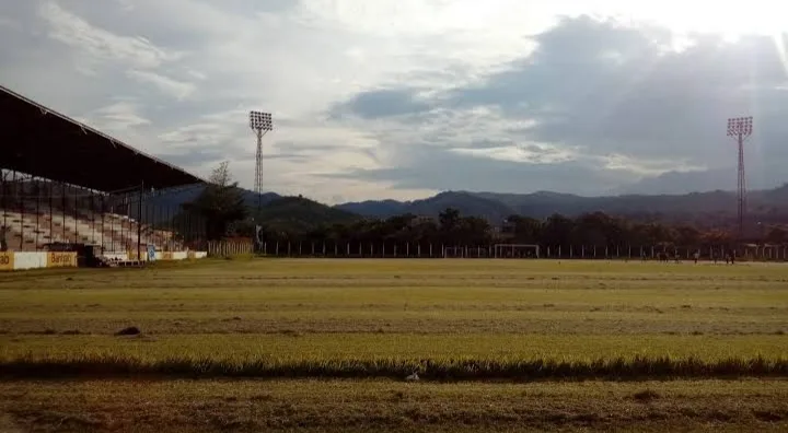
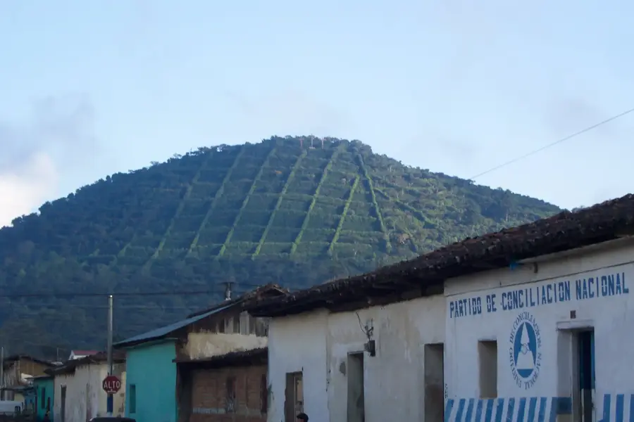
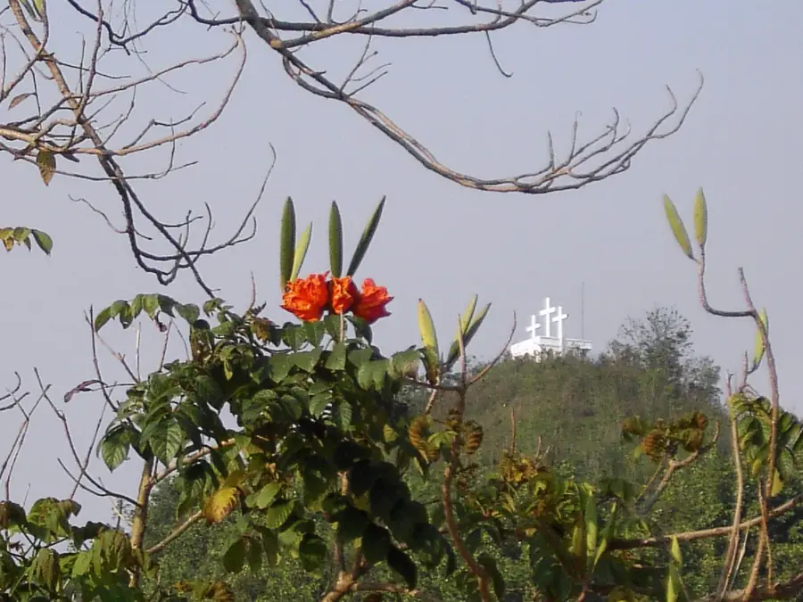
- Top sights: Cerro La Ahorcada · Cerro Tultepeque · Cerro El Platanillo
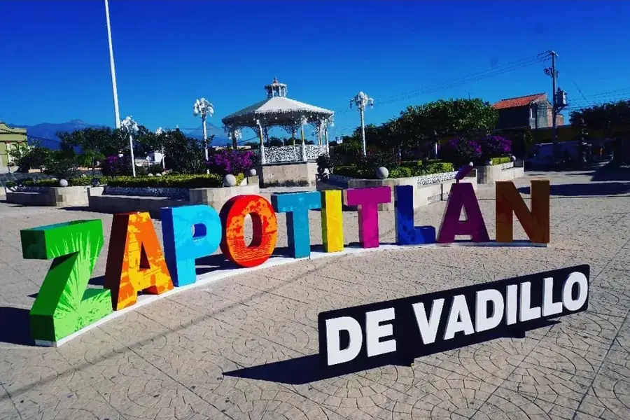
- Nearby: Zapotitlán (12 km)
- Population: ~48.297 (2023)
Best time to visit & climate
The most pleasant time to visit is Jan, Feb, Dec.
| Jan | Feb | Mar | Apr | May | Jun | Jul | Aug | Sep | Oct | Nov | Dec | |
|---|---|---|---|---|---|---|---|---|---|---|---|---|
| Avg °C | 20 | 22 | 23 | 25 | 25 | 23 | 23 | 23 | 22 | 22 | 20 | 20 |
| Rain mm | 26 | 21 | 20 | 37 | 142 | 198 | 165 | 198 | 224 | 158 | 62 | 33 |
Geography
Facts
- Asunción Mita is located at an altitude of approximately 500 meters above sea level.
- The original indigenous name Mictlán originates from the Nahuatl language.
- The town was established as a formal Spanish settlement in the 18th century.
- The patron saint of the city is the Virgin of the Assumption, celebrated on August 15.
- The nearby Lake Güija is shared with the neighboring country of El Salvador.
- Economically, the city is one of the largest onion producers in Central America.
Explore nearby
Notable places around
Route planner — Car & Motorhome
Where do you start? We build the route here, with stops and country notes along the way.
© OpenStreetMap contributors · OpenRouteService
Sights in the town Asunción Mita (3)
Frequently asked questions
Where is Asunción Mita located?
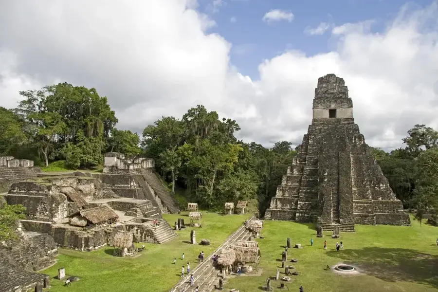
Are there archaeological sites there?
What is the main event in the town?
What is the climate like in Jutiapa?
What role does livestock play?
Asunción Mita: where is it located?
Asunción Mita: what is there to see?
Asunción Mita: when is the best time to visit?
Asunción Mita: why is it worth visiting?

Nearby cities

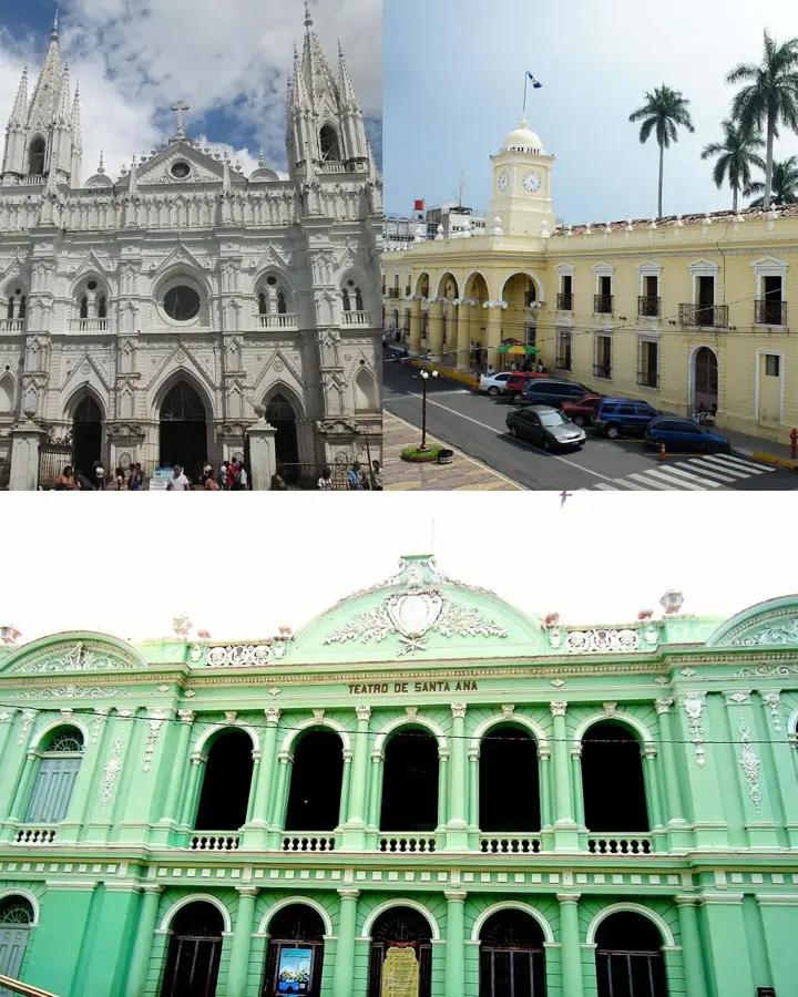
History & landmarks
Nature
More places