Plizio Visual Lab
Chiquimulilla
ℹ️Practical info — Chiquimulilla
▾
🌤 Weather — 5 days
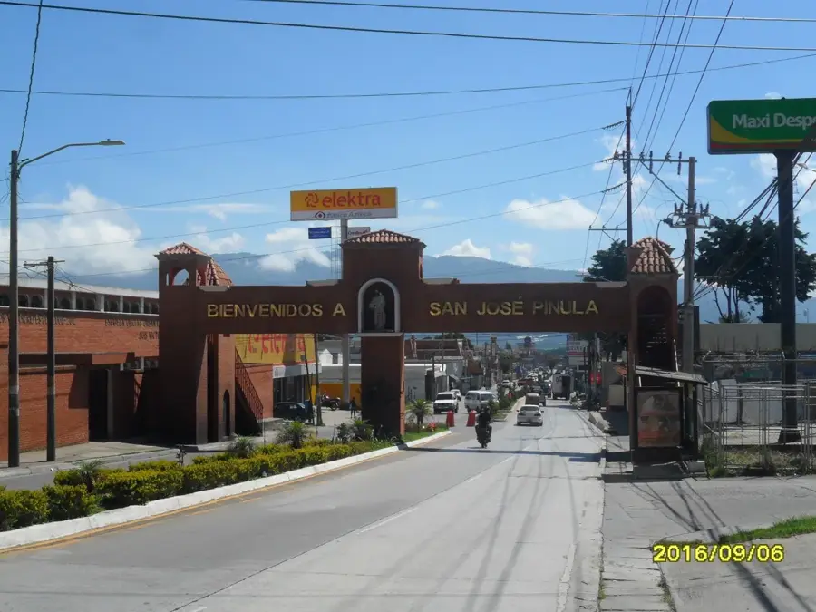
📍 Nearby
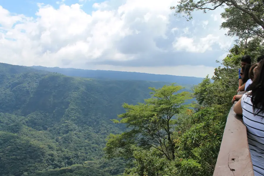
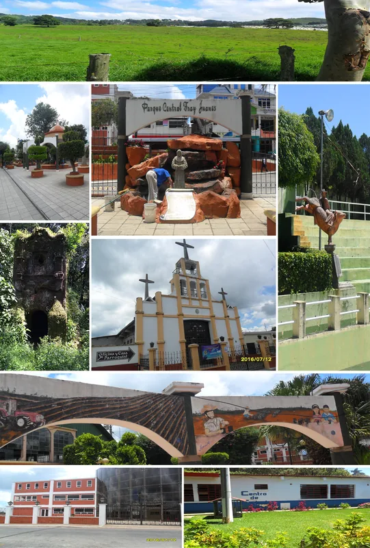
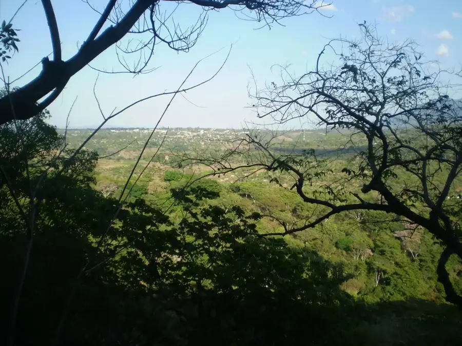
Sights nearby
💡 Tips
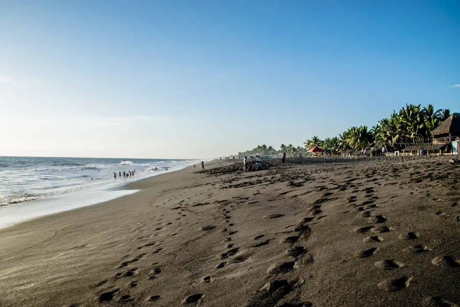
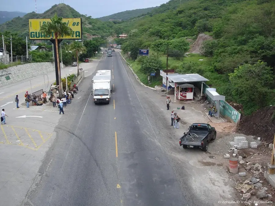
- The city serves as a major transport hub to get to the Pacific beaches and mangroves (like Monterrico).
- The weather is hot and humid year-round; pack lightweight, breathable clothing.
- Be cautious of petty theft in the crowded bus terminal areas.
- Try to catch the early morning buses to the coast to avoid traveling in the midday heat.
- Stock up on cash here before heading to the beach towns, where ATMs might be scarce.
🍽 Food
A rich seafood soup that is very popular at the small eateries inside the municipal market.
Reflecting the nearby coastal influence, it can be found freshly made in local comedores.
First-rate grab-and-go snacks often sold by vendors near the bus transit areas.
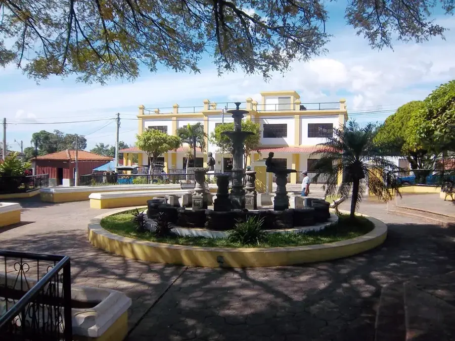
🛍 Shopping · 🧘 Quiet spots
Stock up on fresh fruit and basic supplies here before heading down to the coast.
Lightweight hammocks and coastal gear are often sold in shops along the main thoroughfare.
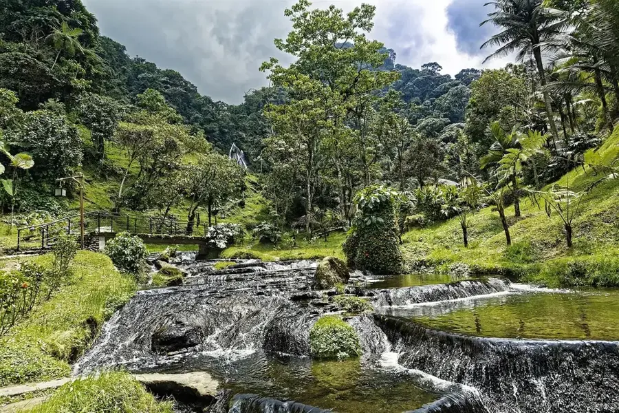
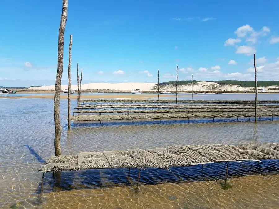
Take a boat tour just south of the city to explore the peaceful mangrove forests.
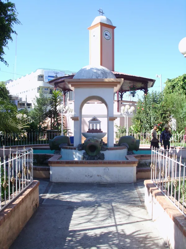
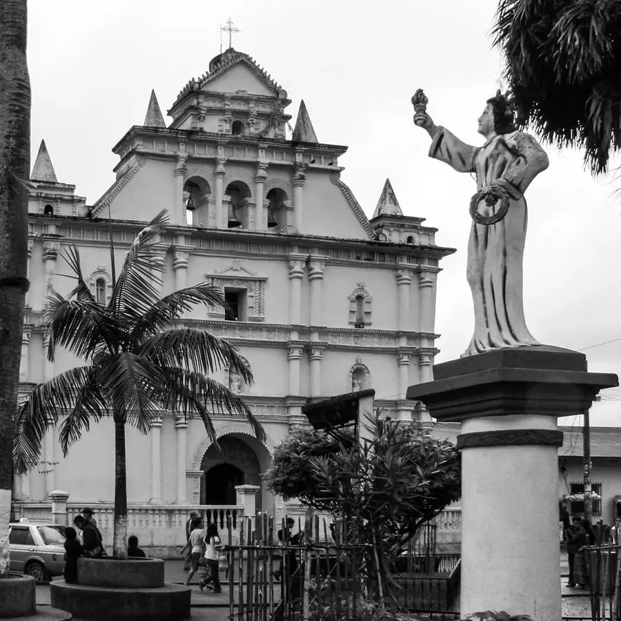
In the late afternoon as it cools down, the small plaza in front of the church is a quiet place to sit.
Water temperature…
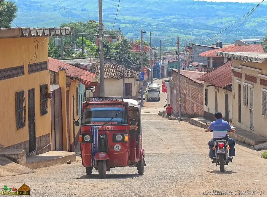
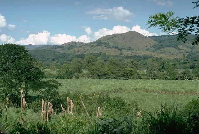
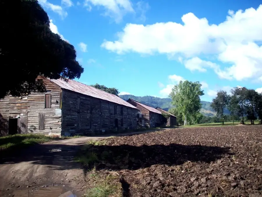
Chiquimulilla is a major urban center in the Santa Rosa department of southeastern Guatemala, historically regarded as the cultural capital of the Xinka people. The city is situated on a coastal plain near the Pacific Ocean, characterized by a hot climate and fertile lands dedicated to cattle ranching and sugar cane cultivation. Its origins date back to pre-Columbian times, long before the Spanish conquest, when it served as a significant settlement for the non-Mayan Xinka civilization. Geographically, it is famous for the Chiquimulilla Canal, a vast network of lagoons and mangrove swamps that runs parallel to the coastline and supports diverse wildlife. During the colonial era, the town became an important administrative hub for the southern Pacific region. Today, Chiquimulilla is a bustling commercial center and a vital transit point for trade between Guatemala and El Salvador. The community takes great pride in its Xinka roots, actively working to preserve its unique language and ancestral customs.
- Location: Guatemala
- Nearby: San Agustín Acasaguastlán (6 km)
- Population: ~12.842 (2020)
Best time to visit & climate
The most pleasant time to visit is Jan, Feb, Dec.
| Jan | Feb | Mar | Apr | May | Jun | Jul | Aug | Sep | Oct | Nov | Dec | |
|---|---|---|---|---|---|---|---|---|---|---|---|---|
| Avg °C | 23 | 25 | 26 | 27 | 26 | 25 | 25 | 25 | 24 | 24 | 23 | 23 |
| Rain mm | 6 | 8 | 8 | 34 | 159 | 207 | 178 | 218 | 227 | 171 | 45 | 11 |
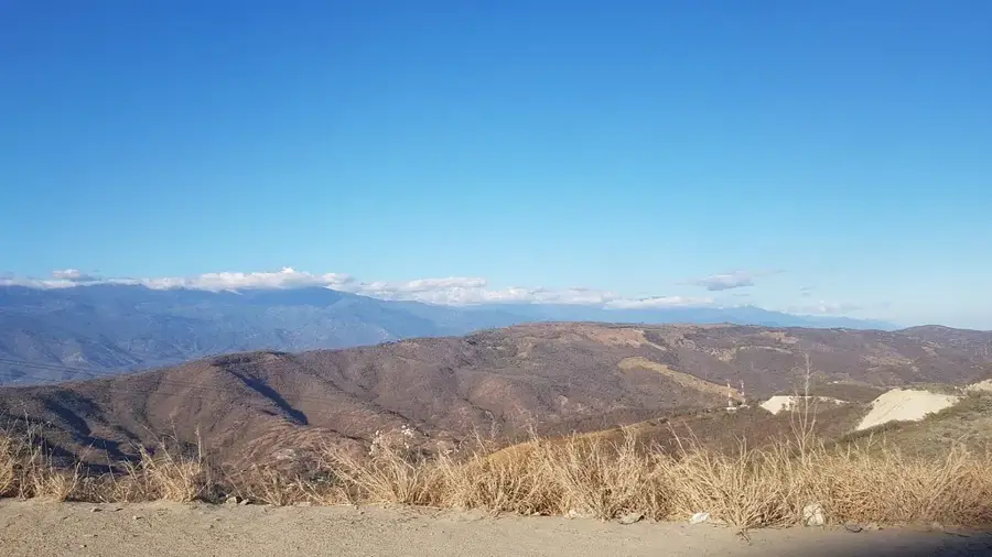
Geography
Facts
- Chiquimulilla was a key administrative seat during the Spanish Captaincy General.
- The Chiquimulilla Canal is an artificial and natural waterway built to facilitate coastal trade.
- It is the primary center for the study and preservation of the endangered Xinka language.
- The city's economy is driven by large-scale agribusiness, specifically sugar and livestock.
- Average temperatures in the region often exceed 30°C due to its low coastal elevation.
- The town plays a crucial role as a logistics hub for trade with neighboring El Salvador.
Explore nearby
Notable places around
Route planner — Car & Motorhome
Where do you start? We build the route here, with stops and country notes along the way.
© OpenStreetMap contributors · OpenRouteService
Frequently asked questions
What makes Chiquimulilla interesting for tourists?
Can you take boat tours in the canals?
How is the weather in Chiquimulilla?
When is the main festival?
Are there beaches nearby?
Chiquimulilla: where is it located?
Chiquimulilla: when is the best time to visit?
Chiquimulilla: why is it worth visiting?

Nearby cities
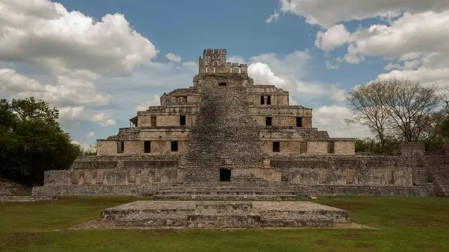
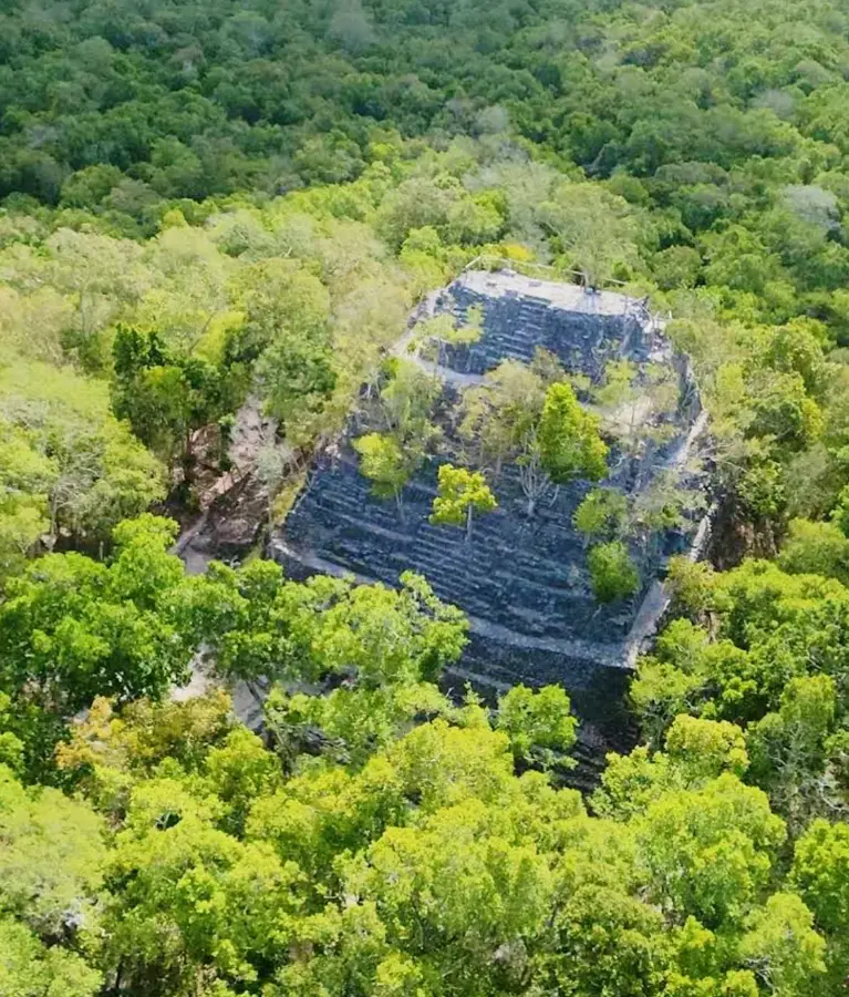
History & landmarks
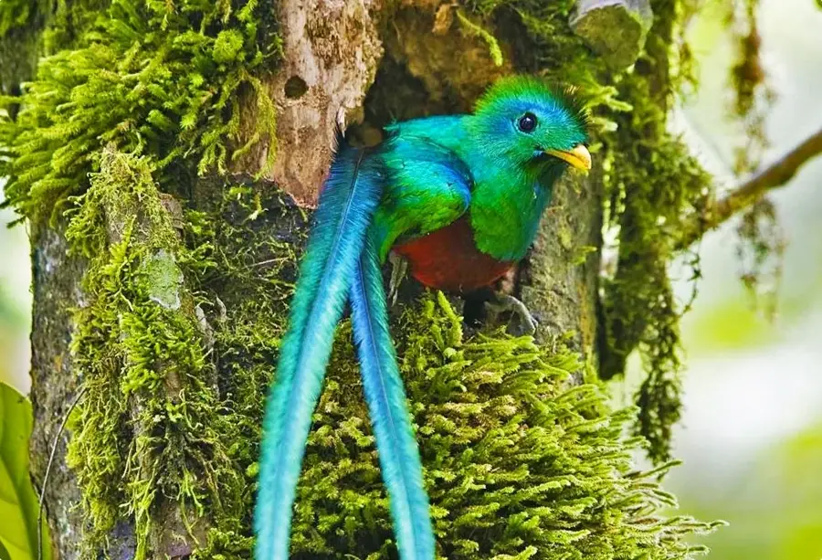
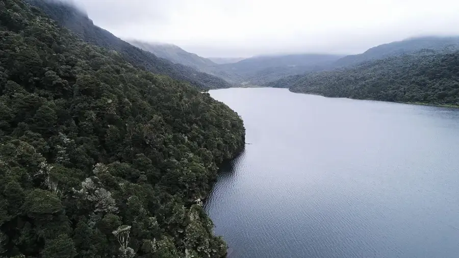
Nature
More places