Plizio Visual Lab
Apaneca
ℹ️Practical info — Apaneca
▾
🌤 Weather — 5 days
📍 Nearby
Sights nearby
💡 Tips
- Apaneca is at a high altitude, so evenings can be chilly; bring a light jacket.
- It's a key stop on the Ruta de las Flores; use the frequent and cheap local buses to explore nearby towns.
- Take a coffee farm tour; the region produces some of the best coffee in El Salvador.
- Wear comfortable walking shoes for the cobblestone streets.
🍽 Food
Try them with loroco at local pupuserías around the main square.
At independent cafes near the town center.
Fried cassava, found at weekend food stalls in the central plaza.
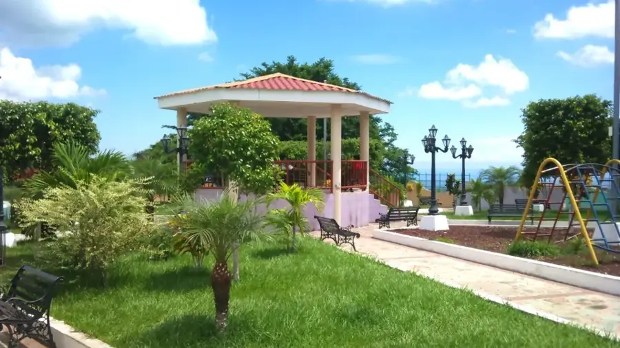
🛍 Shopping · 🧘 Quiet spots
Direct from nearby fincas or local cafes.
At artisan markets, especially busy on weekends.
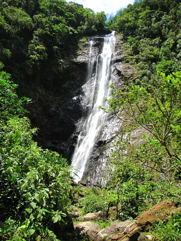
A scenic crater lake just outside town, great for a peaceful hike.
Very calm on a weekday morning before the weekend crowds arrive.
Water temperature…
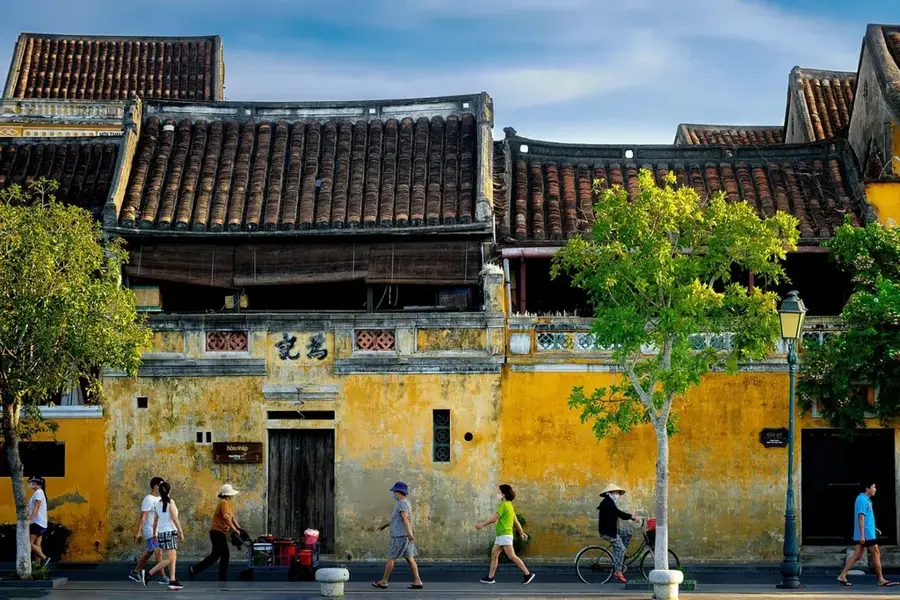
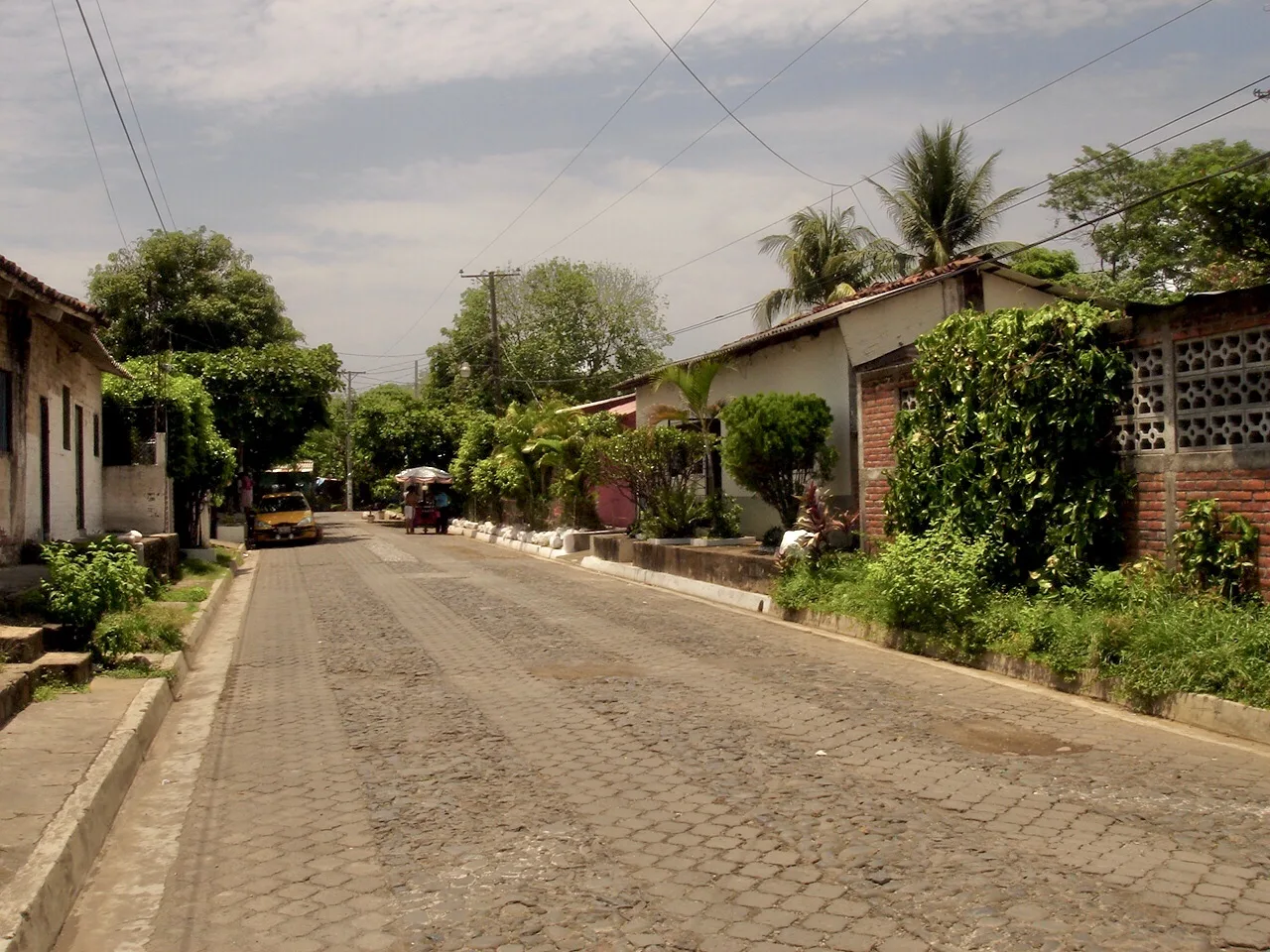
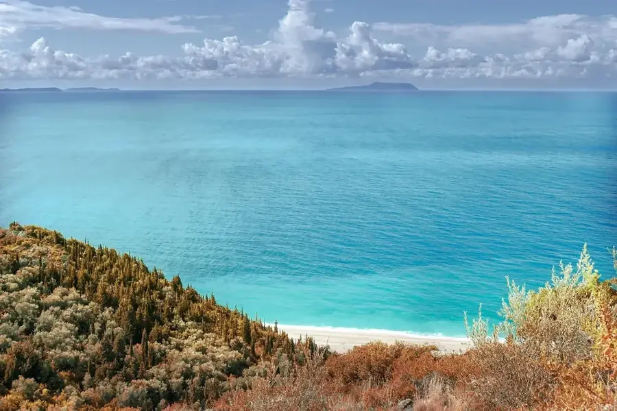
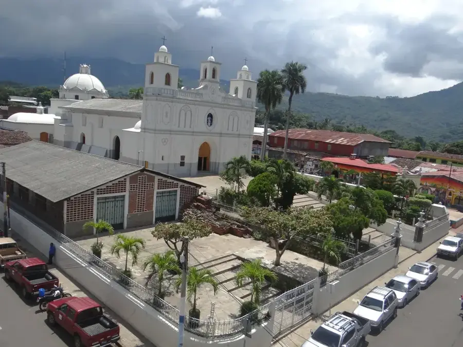
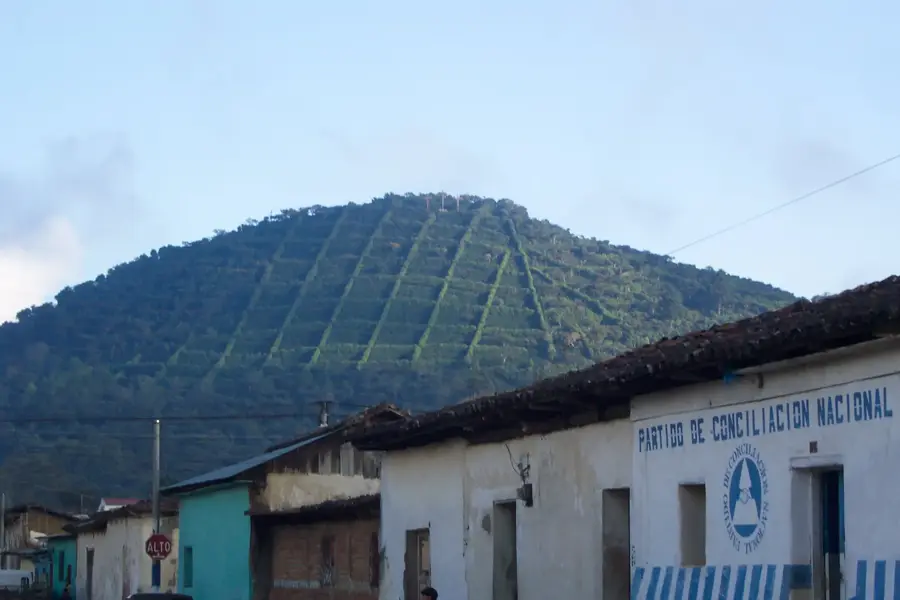
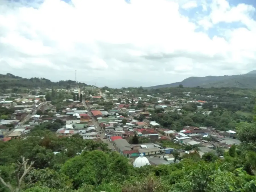
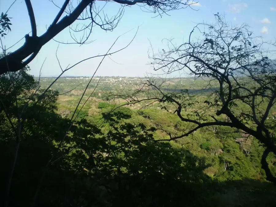
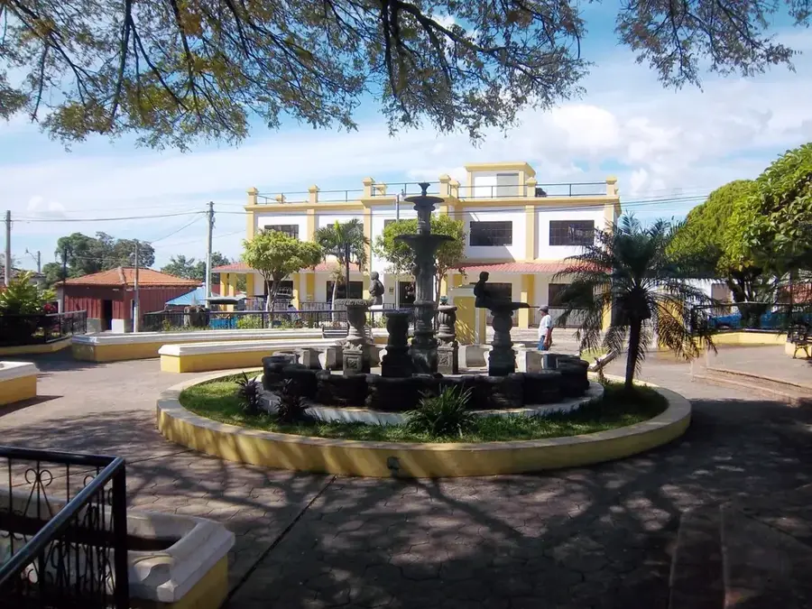
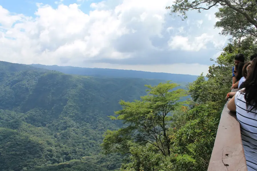
Situated at an elevation of 1,450 meters above sea level in the Ahuachapán Department, Apaneca is the highest town in El Salvador. Its name means "River of Wind" in Nahuatl, a reference to the strong breezes that frequently sweep across its mountainous terrain. The town is a central stop on the "Ruta de las Flores" and is renowned for its exceptional coffee production, produced in the surrounding volcanic highlands. Apaneca is home to a rich archaeological heritage, with sites like Santa Leticia featuring pre-Columbian sculptures known as "Gordinflones" that date back over 2,000 years. The town's colonial church, San Andrés Apóstol, is one of the oldest in the country, although it has undergone several reconstructions due to seismic activity. Nature enthusiasts are drawn to the nearby Laguna Verde and Laguna de las Ninfas, two volcanic crater lakes that offer unique biodiversity.
- Location: El Salvador
- Nearby: Santo Domingo de Guzmán (4 km)
- Population: ~7.797 (2020)
Best time to visit & climate
The most pleasant time to visit is Jan, Feb, Dec.
| Jan | Feb | Mar | Apr | May | Jun | Jul | Aug | Sep | Oct | Nov | Dec | |
|---|---|---|---|---|---|---|---|---|---|---|---|---|
| Avg °C | 23 | 25 | 26 | 27 | 26 | 25 | 25 | 25 | 24 | 24 | 23 | 23 |
| Rain mm | 6 | 8 | 8 | 34 | 159 | 207 | 178 | 218 | 227 | 171 | 45 | 11 |
Geography
Facts
- Apaneca is the highest town in El Salvador at 1,450 meters elevation.
- The Santa Leticia archaeological site dates back to the Late Preclassic period.
- Laguna Verde is a crater lake located inside an inactive volcano.
- The town was originally founded by Pipil indigenous tribes.
- The average temperature ranges between 14 and 18 degrees Celsius.
- Apaneca is famous for its mazes made of coffee plants.
Explore nearby
Notable places around
Route planner — Car & Motorhome
Where do you start? We build the route here, with stops and country notes along the way.
© OpenStreetMap contributors · OpenRouteService
Sights in the town Apaneca (1)
Frequently asked questions
What is Apaneca known for?
How long should I stay there?
What clothing should I bring?
What is the best travel time?
Are there good hiking opportunities there?
Apaneca: where is it located?
Apaneca: when is the best time to visit?
Apaneca: why is it worth visiting?

Nearby cities

Nature
More places