Plizio Visual Lab
Barberena
ℹ️Practical info — Barberena
▾
🌤 Weather — 5 days
📍 Nearby
Sights nearby
💡 Tips
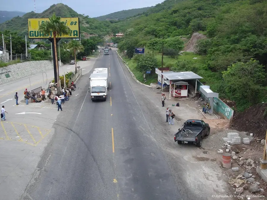
- Known as the 'Navel of the Americas', it's a major commercial hub on the Pan-American Highway.
- Traffic can be intense, so cross the main roads with extreme caution.
- The climate here is cooler than the Pacific coast, making evening walks pleasant.
- Use the local microbuses for quick and inexpensive trips to surrounding villages.
🍽 Food
Look for roadside comedores along the CA-1 highway to try some of the best fried pork in the region.
A hearty breakfast with eggs, beans, and plantains, served at diners near the market.
The region is agricultural; buy sliced fresh pineapple from street carts.
🛍 Shopping · 🧘 Quiet spots
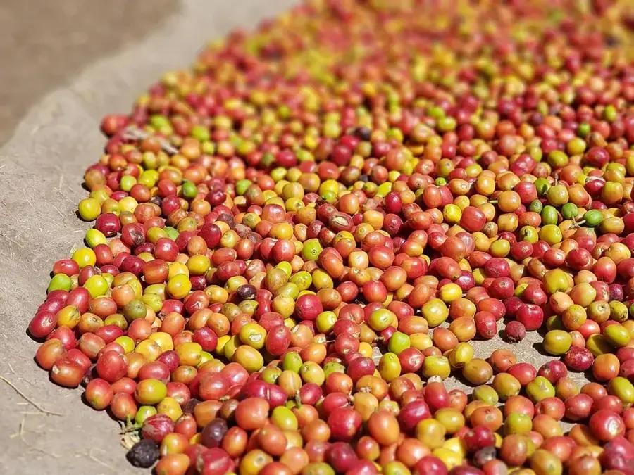
Visit the local market early in the morning for the best selection of regional coffee and fresh produce.
You can find traditional earthenware in the small shops around the center.
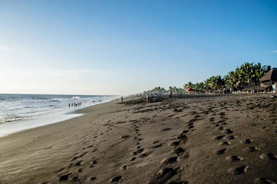
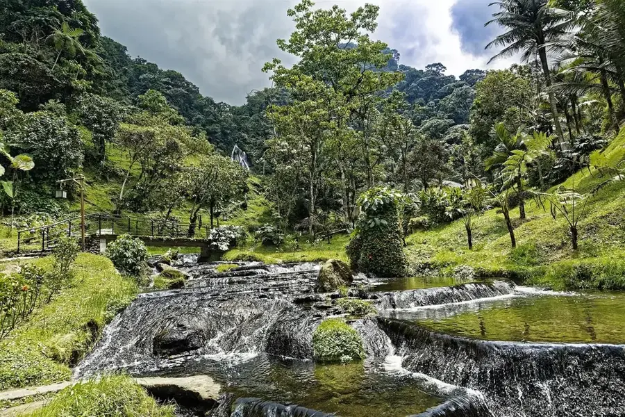
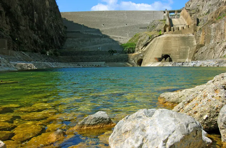
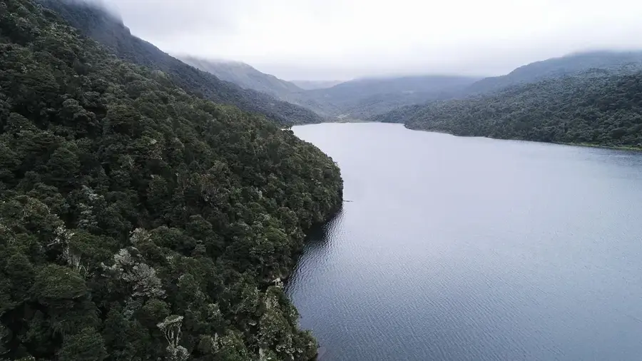
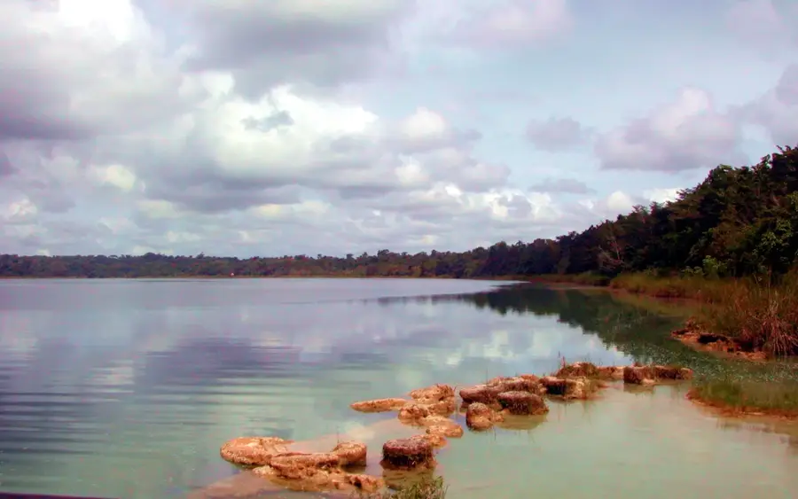
A beautiful lake just north of the city, excellent for a picnic in nature.
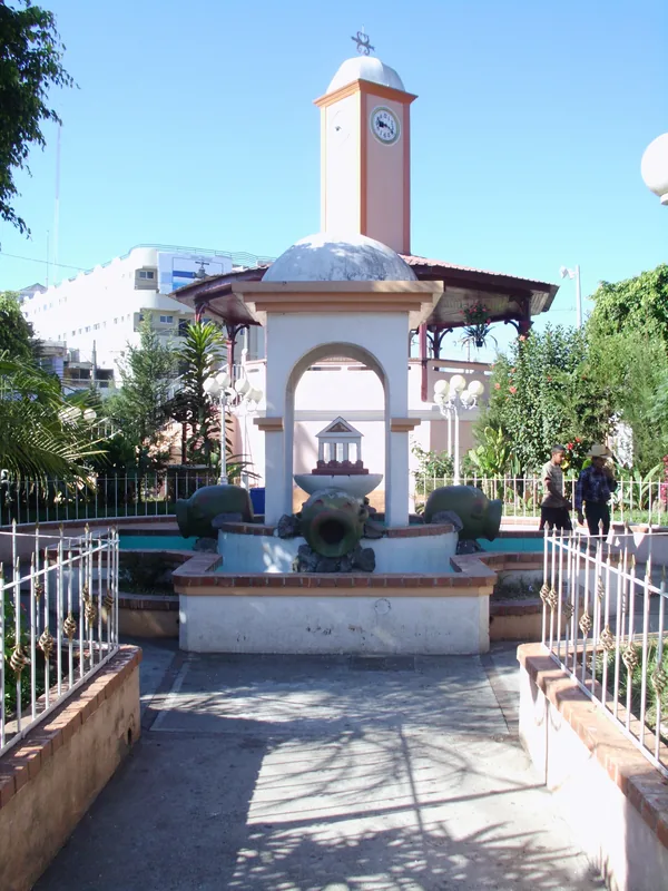
The area around the local church provides quiet seating away from the traffic.
Water temperature…
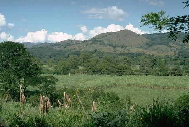
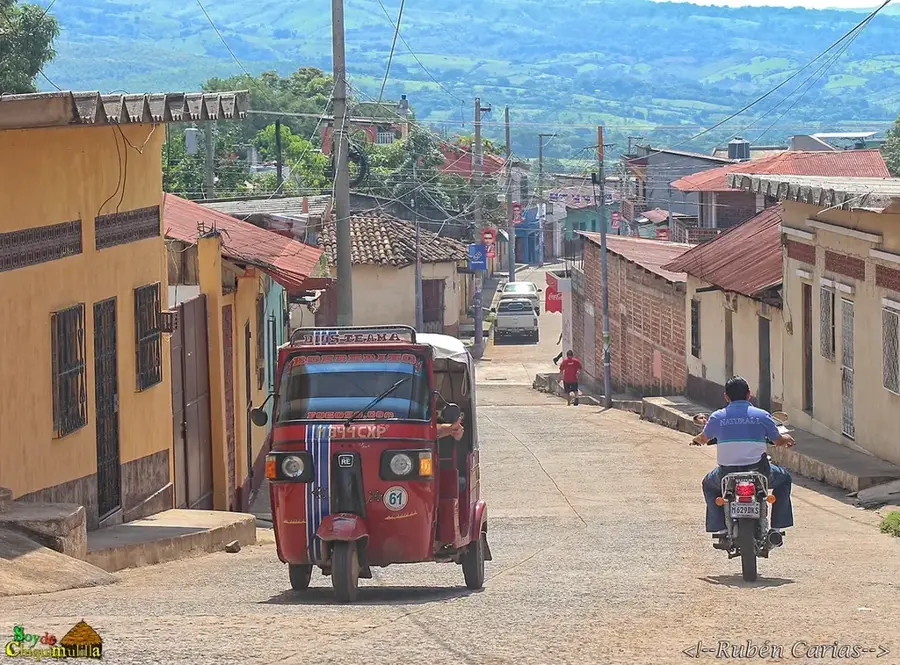
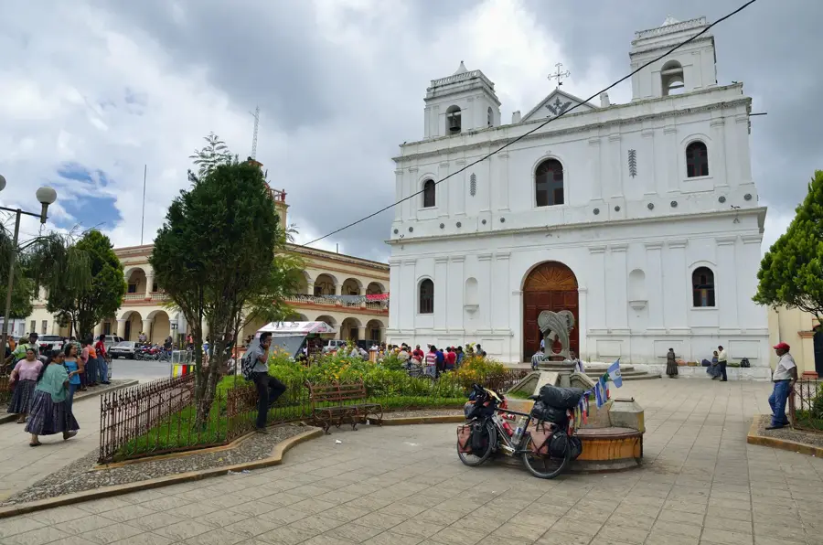
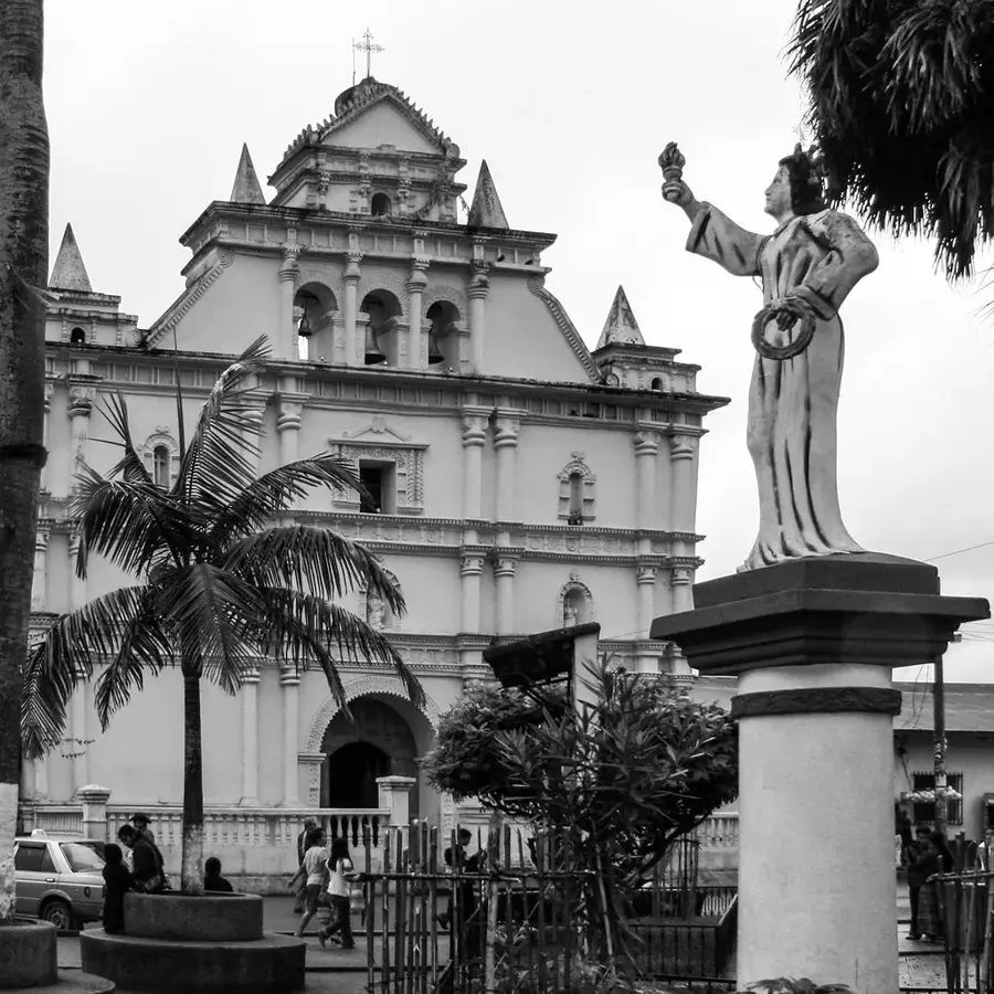
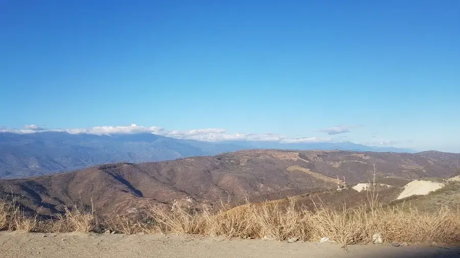
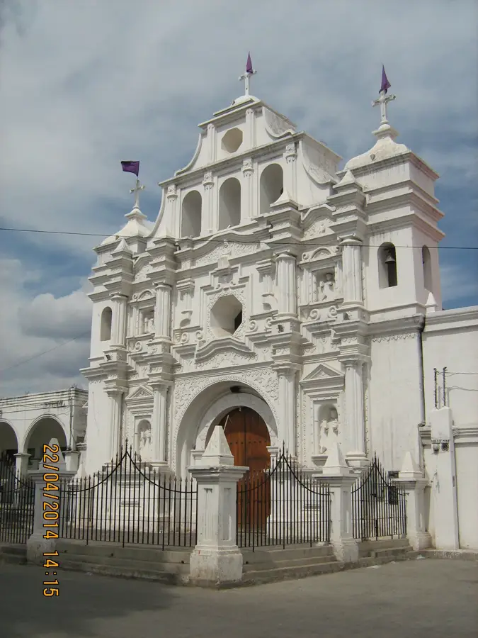
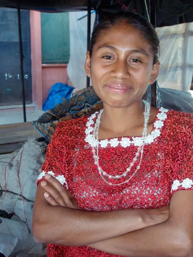
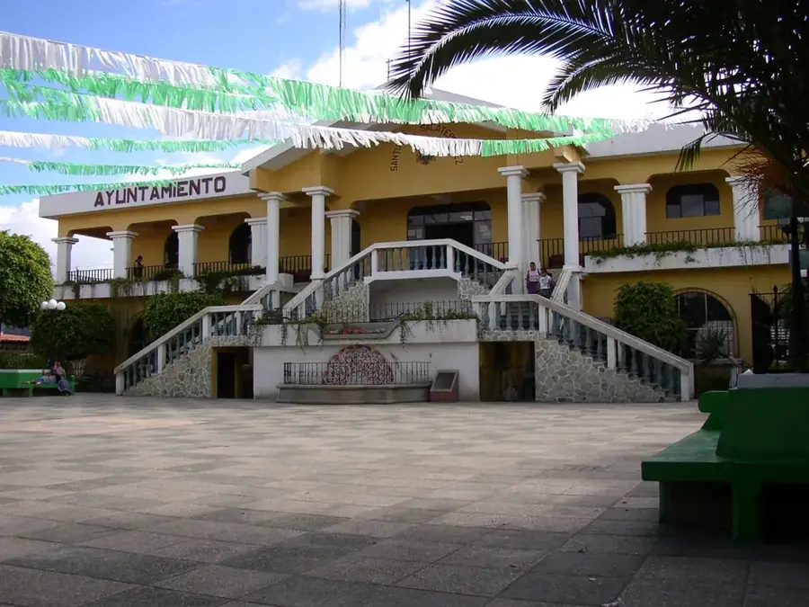
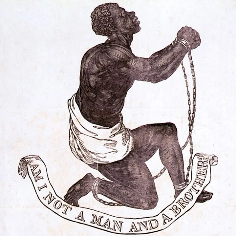
Barberena is a key city in the Santa Rosa Department, strategically positioned along the Pan-American Highway in southeastern Guatemala. The city serves as a vital transportation junction and a major marketplace for the agricultural goods of the surrounding region. Geographically, the municipality covers a hilly landscape with a warm, temperate climate that is highly conducive to coffee cultivation and cattle ranching. Historically, it developed from a small settlement into a bustling urban center following the expansion of the highway network in the mid-20th century. A significant historical landmark nearby is the Los Esclavos bridge, an architectural gem built during the Spanish colonial era in the 16th century. Barberena is well-known for its active markets where local produce and artisanal goods are traded daily. The city's location makes it an essential logistical link between Guatemala City and the El Salvador border. Annual folk festivals and religious celebrations define the local social life, reflecting the animated cultural identity of the Santa Rosa region.
- Location: Guatemala
- Nearby: Cobán (5 km)
- Population: ~47.093 (2023)
Best time to visit & climate
The most pleasant time to visit is Jan–Mar.
| Jan | Feb | Mar | Apr | May | Jun | Jul | Aug | Sep | Oct | Nov | Dec | |
|---|---|---|---|---|---|---|---|---|---|---|---|---|
| Avg °C | 19 | 21 | 22 | 23 | 23 | 22 | 21 | 21 | 21 | 20 | 19 | 19 |
| Rain mm | 5 | 7 | 12 | 41 | 163 | 225 | 172 | 223 | 243 | 191 | 43 | 8 |
Geography
Facts
- Located in the Santa Rosa Department.
- Major junction on the Pan-American Highway.
- Near the historic Los Esclavos bridge (built in 1592).
- Hub for coffee production in southern Guatemala.
- Characterized by a warm and temperate climate.
- Essential for trade routes leading to El Salvador.
Explore nearby
Notable places around
Route planner — Car & Motorhome
Where do you start? We build the route here, with stops and country notes along the way.
© OpenStreetMap contributors · OpenRouteService
Frequently asked questions
What is the most famous natural attraction near Barberena?
What is the location of Barberena?
What kind of climate is there?
What can you eat in the area?
Are there historical bridges?
Barberena: where is it located?
Barberena: when is the best time to visit?
Barberena: why is it worth visiting?

Nearby cities
History & landmarks
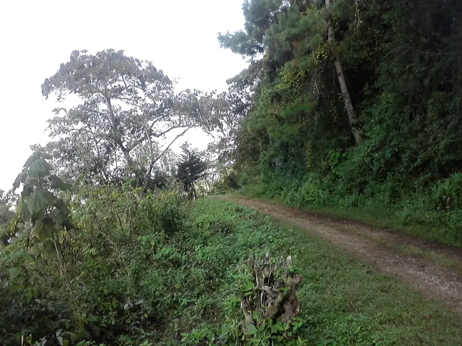
Nature
More places