Plizio Visual Lab
Paz River
Weather…
Water temperature…
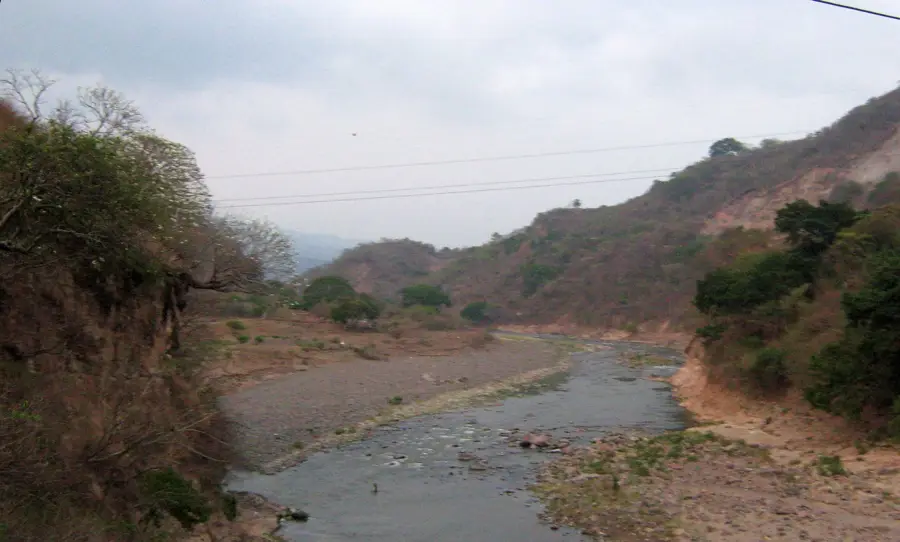
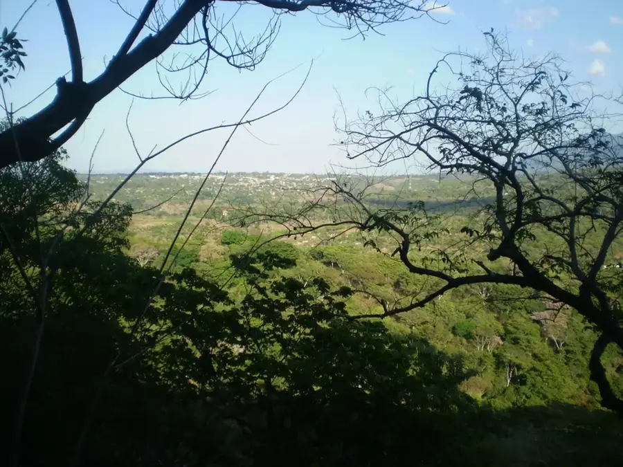
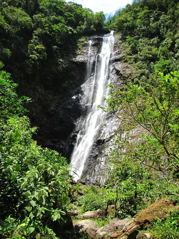
The Paz River (Río Paz) is a significant waterway in Central America, serving as the natural border between El Salvador and Guatemala for approximately 134 kilometers. It originates in the Quezaltepeque mountains of Guatemala and flows southward until it discharges into the Pacific Ocean. Its drainage basin covers about 2,600 square kilometers and is essential for the agricultural activities of both countries, particularly for sugarcane cultivation, grains, and livestock farming. However, the river is highly susceptible to flooding during the rainy season, which frequently leads to morphological changes in its lower course and mouth area. Ecologically, the river supports a variety of ecosystems along its path, ranging from mountain forests near the source to coastal estuaries at its terminus. International treaties govern the shared use and environmental protection of the water resources between the two neighboring states.
- Location: El Salvador
- Nearby: Barra de Santiago (14 km)
Best time to visit & climate
The most pleasant time to visit is Jan, Feb, Dec.
| Jan | Feb | Mar | Apr | May | Jun | Jul | Aug | Sep | Oct | Nov | Dec | |
|---|---|---|---|---|---|---|---|---|---|---|---|---|
| Avg °C | 23 | 25 | 26 | 27 | 26 | 25 | 25 | 25 | 24 | 24 | 23 | 23 |
| Rain mm | 6 | 8 | 8 | 34 | 159 | 207 | 178 | 218 | 227 | 171 | 45 | 11 |
📋 Practical info
Geography
Facts
- Total length of approximately 134 kilometers.
- Forms the international border between El Salvador and Guatemala.
- Originates in the Quezaltepeque mountain range in Guatemala.
- The river basin covers an area of roughly 2,600 km².
- Discharges into the Pacific Ocean near Barra de Santiago.
- Crucial water source for large-scale agricultural irrigation.
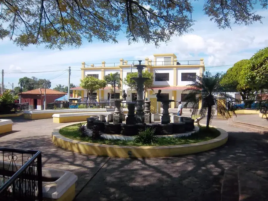
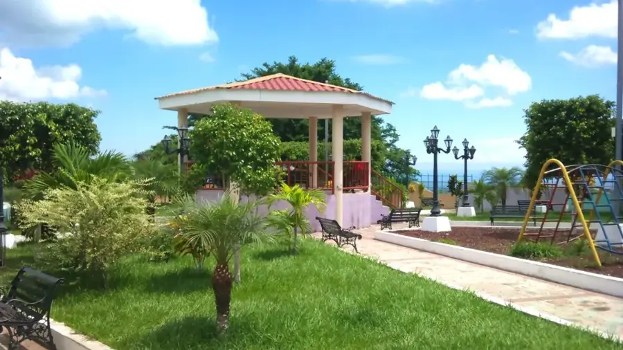
Explore nearby
Notable places around
Route planner — Car & Motorhome
Where do you start? We build the route here, with stops and country notes along the way.
© OpenStreetMap contributors · OpenRouteService
Sights nearby
Frequently asked questions
Can one cross the river?
Is it safe in the region?
Are there fishing opportunities?
Is the river heavily polluted?
Can one hike there?
Paz River: where is it located?
Paz River: when is the best time to visit?
Paz River: why is it worth visiting?

Nearby cities

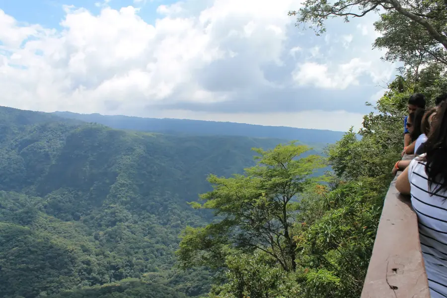
Nature
More places