Plizio Visual Lab
Cuilapa
ℹ️Practical info — Cuilapa
▾
🌤 Weather — 5 days
📍 Nearby
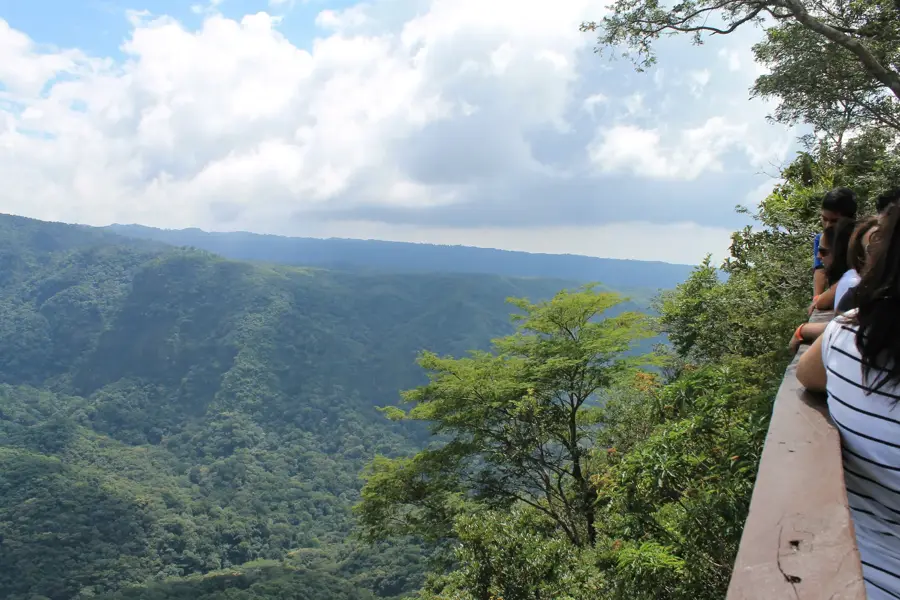
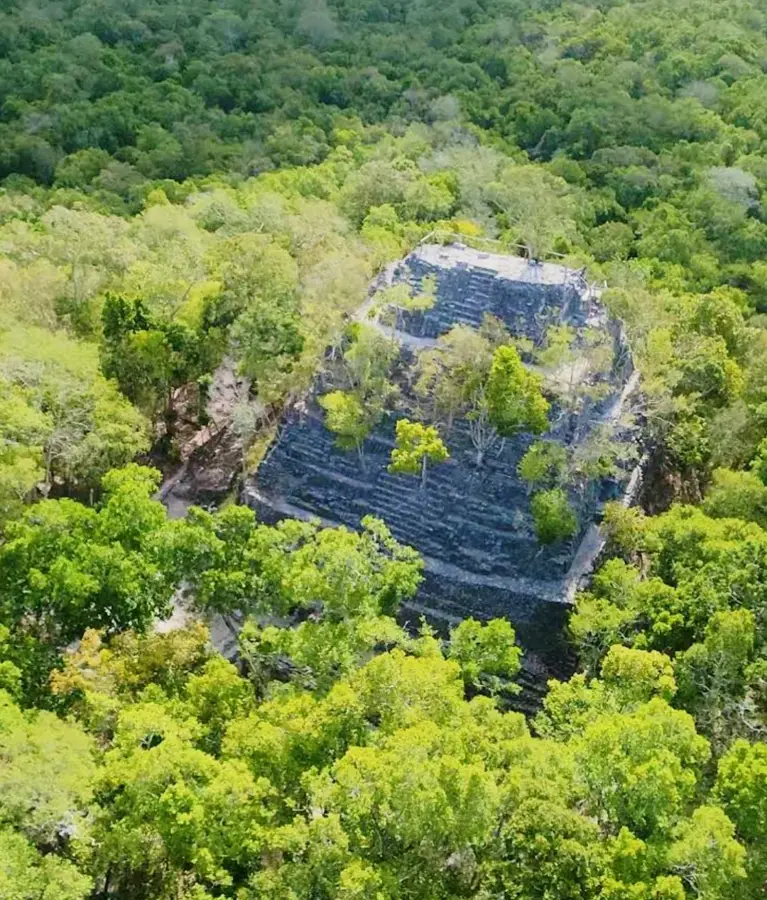
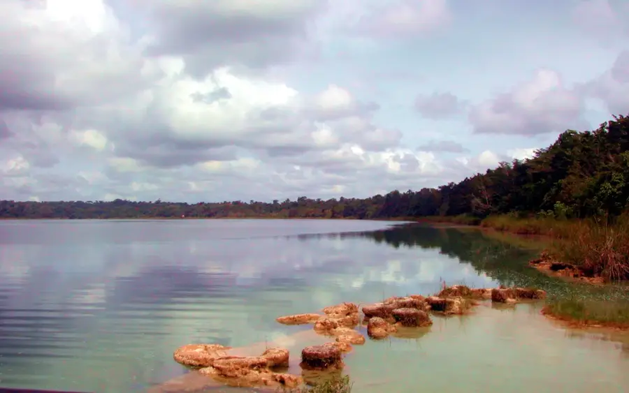
Sights nearby
💡 Tips
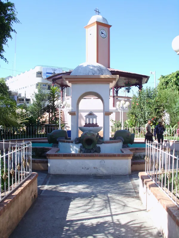
- Stop at the monument marking the Center of the Americas (the Navel of America).
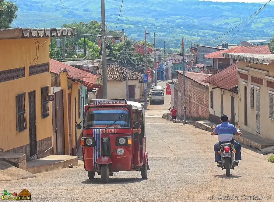
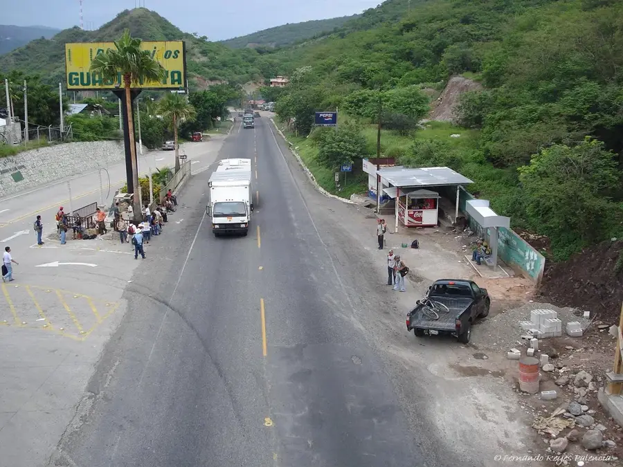
- The town serves as a busy transit hub towards El Salvador during the day.
- The climate is significantly warmer here than the western highlands; dress light.
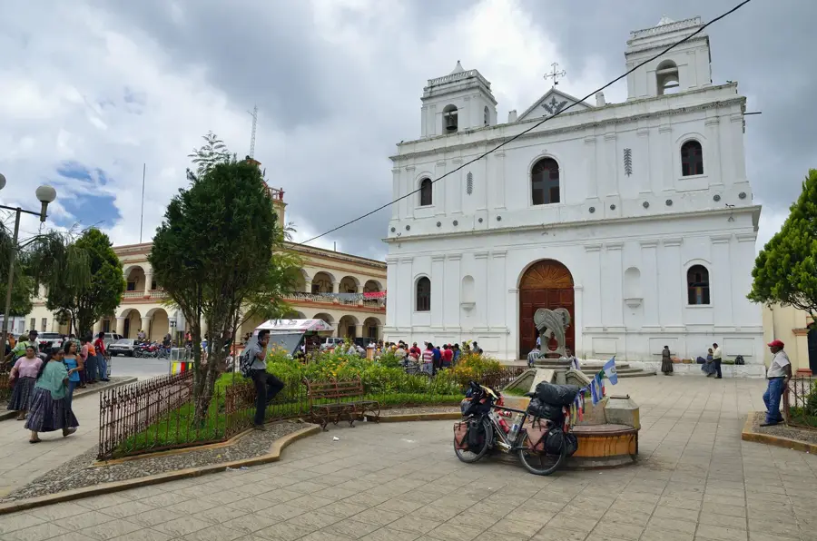
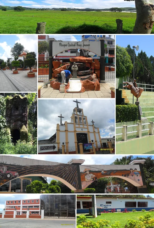
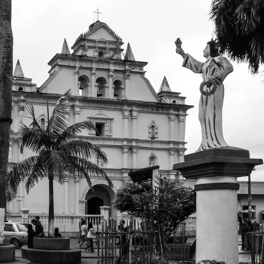
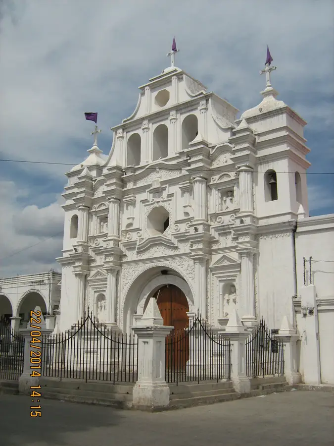
- Visit the modern cathedral, which was rebuilt after a devastating earthquake in 1913.
🍽 Food
Fried pork belly, a highly popular snack in local roadside diners.
Grilled meats widely available in casual restaurants around the main roads.
A refreshing sweet rice-based drink, excellent for the warm climate.
🛍 Shopping · 🧘 Quiet spots
Saddles and belts crafted by local artisans, found in specialized shops.
Santa Rosa is known for its cattle; look for fresh regional cheeses.
The central park gives shade and a place to rest away from the transit bustle.
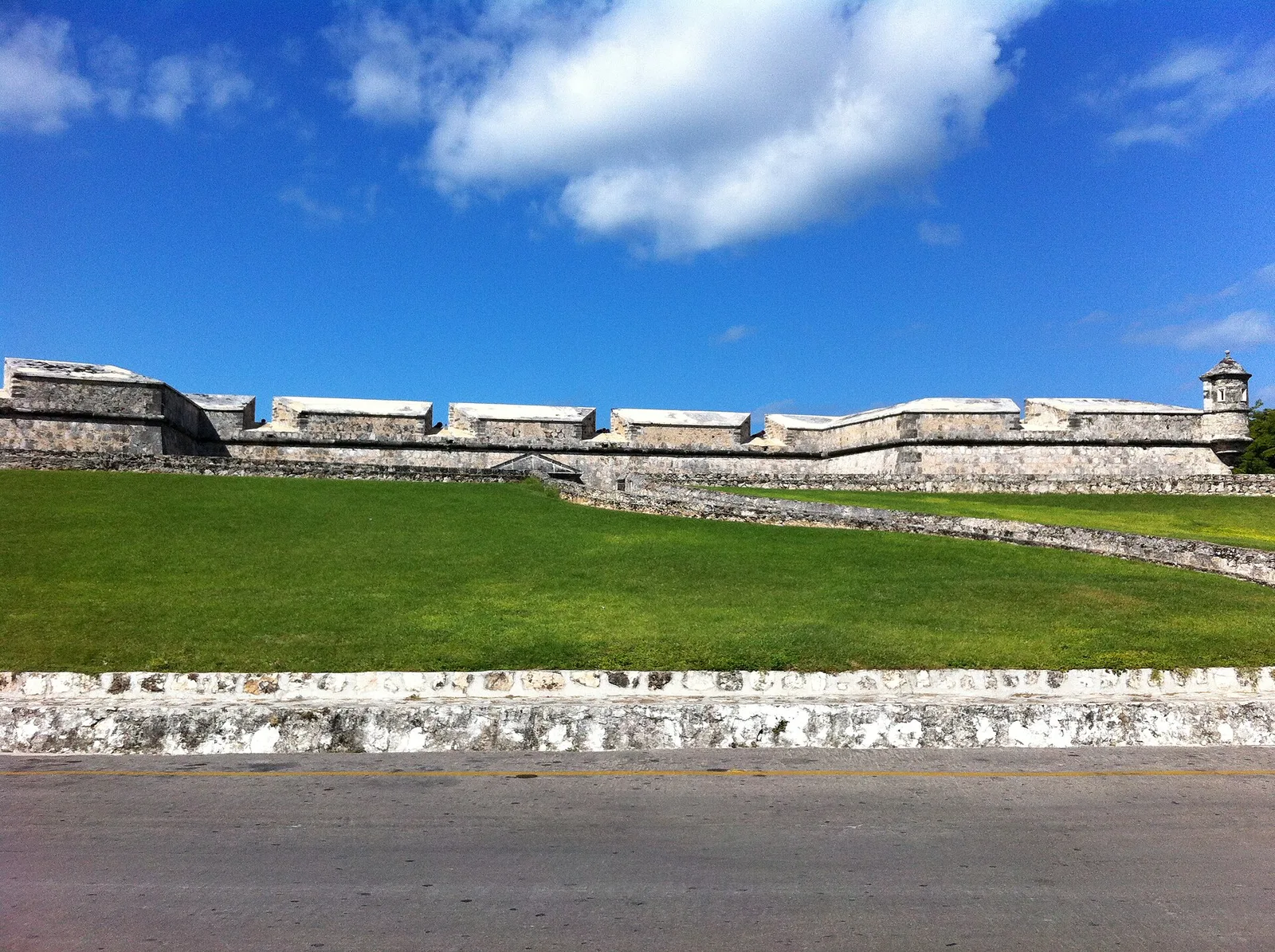
A short drive away, a historic stone bridge offering scenic river views.
Water temperature…
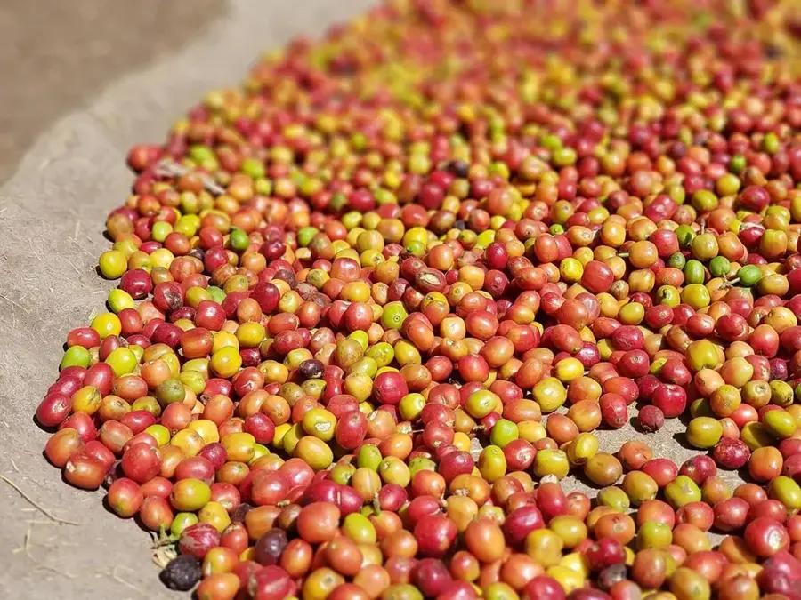
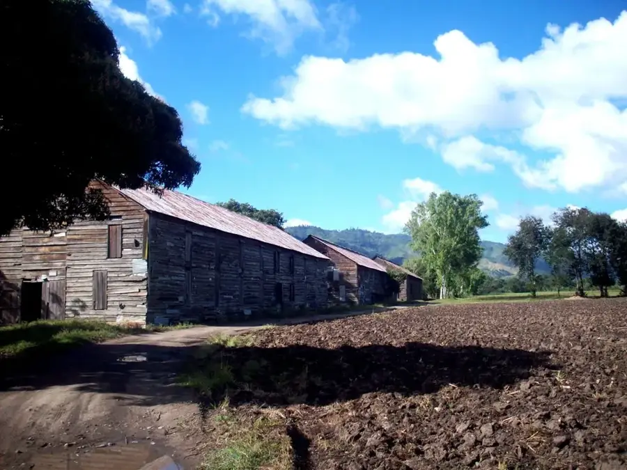
Cuilapa serves as the capital of the Santa Rosa Department in southeastern Guatemala and is famously marketed as the 'Center of the Americas' (El Centro de las Américas). This title is based on geographical calculations placing it at the midpoint of the North and South American landmasses, a fact commemorated by a landmark monument in the city. The town's origins are deeply rooted in the colonial era, originally founded as Nuestra Señora de los Dolores de Cuilapa. Its strategic location on the road to El Salvador made it a vital stop for traders and colonial officials. One of the area's most significant historical sites is the Puente de los Esclavos (Slaves' Bridge), built in 1592 across the Los Esclavos River. This stone bridge is an architectural marvel of the Spanish Empire, consisting of 11 arches that have withstood centuries of natural disasters, including the catastrophic earthquake of 1913 that leveled much of the town itself. Following the earthquake, Cuilapa was meticulously rebuilt, evolving into the administrative and economic hub it is today. The local economy thrives on agriculture, particularly the cultivation of high-quality coffee, sugar cane, and diverse tropical fruits. The city also acts as a commercial gateway for the cattle industry of the coastal plains. Culturally, Cuilapa is a spirited mix of Ladino traditions with remnants of Xinka indigenous heritage. The annual fair in December is a highlight of the local calendar, featuring traditional horse parades, rodeos, and religious celebrations that showcase the unique identity of this crossroads city.
- Location: Guatemala
- Nearby: Tactic (6 km)
- Population: ~41.359 (2025)
Best time to visit & climate
The most pleasant time to visit is Jan–Mar.
| Jan | Feb | Mar | Apr | May | Jun | Jul | Aug | Sep | Oct | Nov | Dec | |
|---|---|---|---|---|---|---|---|---|---|---|---|---|
| Avg °C | 19 | 21 | 22 | 23 | 23 | 22 | 21 | 21 | 21 | 20 | 19 | 19 |
| Rain mm | 5 | 7 | 12 | 41 | 163 | 225 | 172 | 223 | 243 | 191 | 43 | 8 |
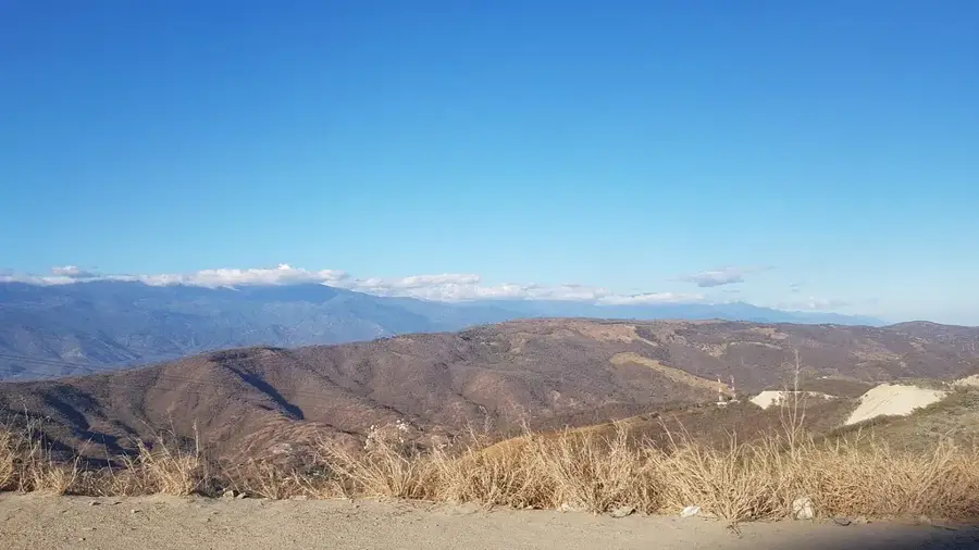
Geography
Facts
- Cuilapa is the geographical midpoint between Alaska and Tierra del Fuego.
- The historic Slaves' Bridge was commissioned by Governor Rodrigo de Fuentes.
- The city’s elevation is approximately 2,930 feet above sea level.
- It was the first city in Guatemala to have a formal monument to the Americas.
- The 1913 earthquake is known as the 'Cuilapa Catastrophe' in local history.
- Agriculture accounts for over 60% of the local economic activity.
- The name 'Cuilapa' likely means 'river of painters' in the Pipil language.
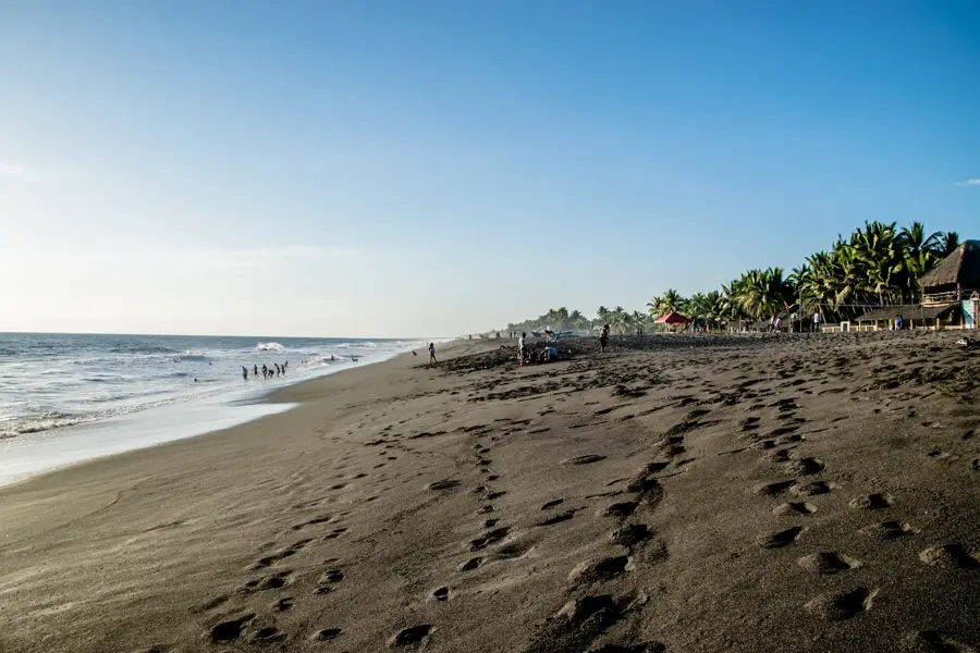
- The city is a major junction for travelers heading to the Pacific coast.
Explore nearby
Notable places around
Route planner — Car & Motorhome
Where do you start? We build the route here, with stops and country notes along the way.
© OpenStreetMap contributors · OpenRouteService
Sights in the town Cuilapa (1)
Frequently asked questions
Why is Cuilapa called the 'Center of the Americas'?
What is the climate like in Cuilapa?
What is the main economic activity?
Are there historical sights in Cuilapa?
How far is Cuilapa from Guatemala City?
Cuilapa: where is it located?
Cuilapa: when is the best time to visit?
Cuilapa: why is it worth visiting?

Nearby cities

History & landmarks

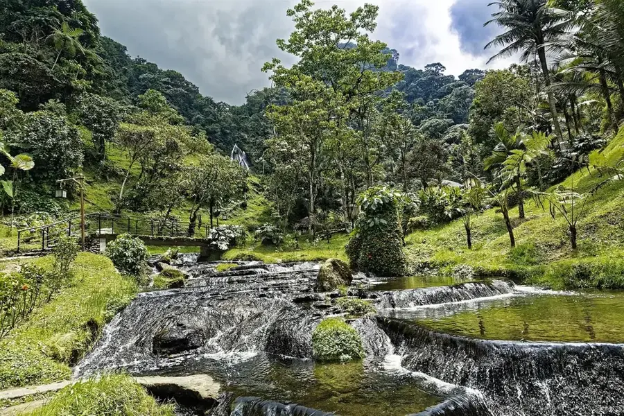
Nature

More places