Plizio Visual Lab
Laguna de Ayarza
Weather…
Water temperature…
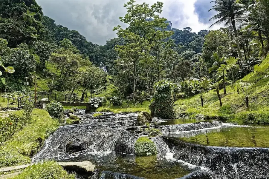
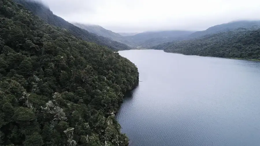
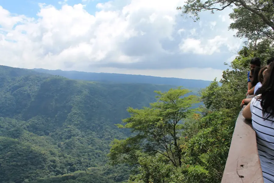
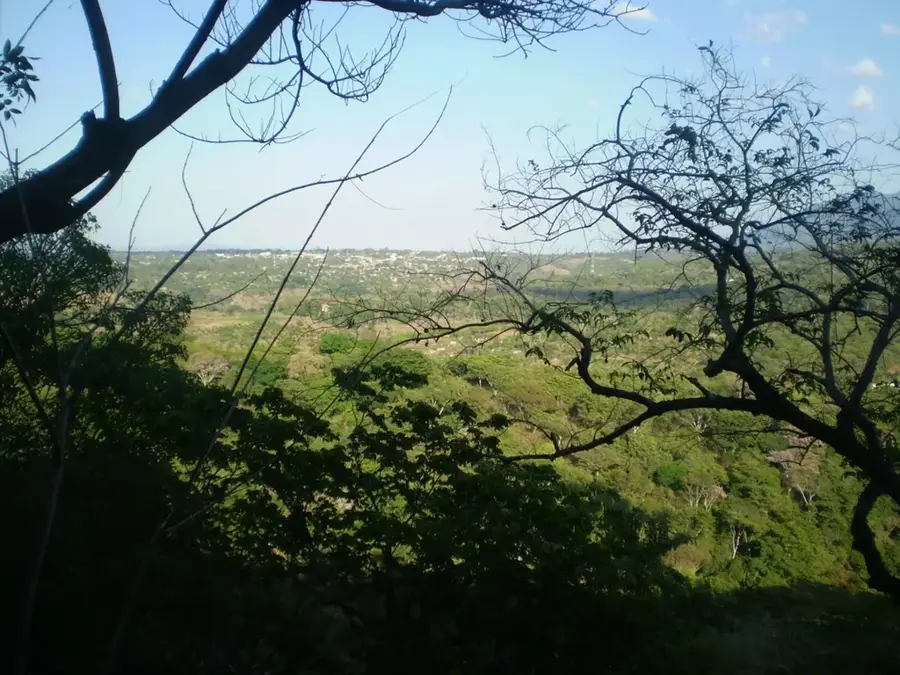
Laguna de Ayarza is an impressive crater lake located in the Santa Rosa department of southeastern Guatemala. It was formed approximately 20,000 years ago by the massive collapse of two volcanic cones, resulting in a distinctive figure-eight shape. Reaching depths of up to 230 meters, it is one of the deepest lakes in Central America and sits at an elevation of about 1,409 meters above sea level. The water is famous for its deep blue color and exceptional clarity, as it is primarily fed by subterranean springs. The steep walls of the caldera are draped in pine forests and coffee plantations, lending a dramatic quality to the landscape. Geologically, Laguna de Ayarza is a significant testament to the region's past volcanic activity. Due to the lack of surface outlets, its water level is subject to natural fluctuations. The lake is a favored destination for scuba divers and nature photographers who appreciate the tranquility and pristine surroundings of this remote natural wonder.
- Location: Guatemala
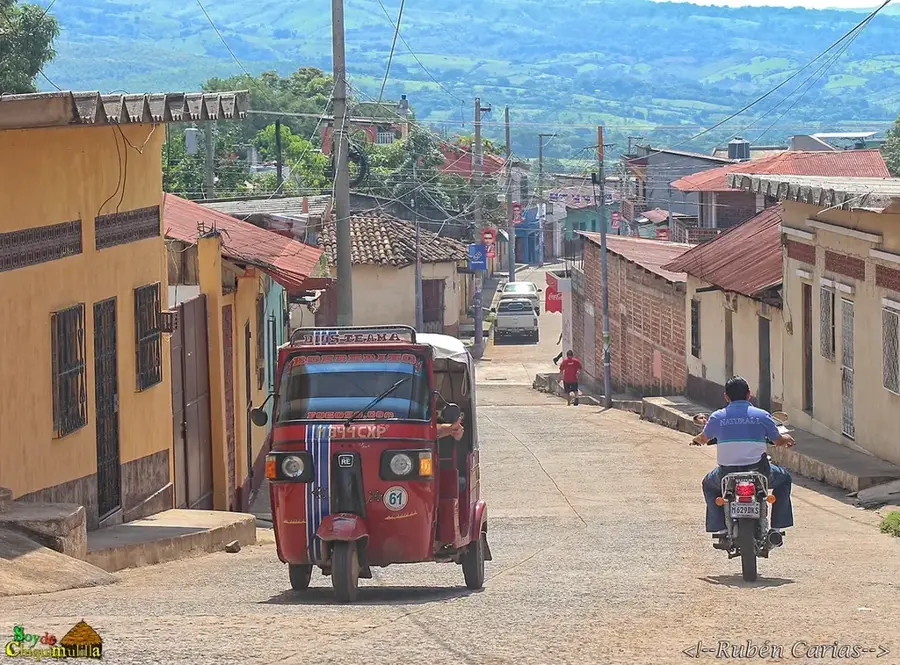
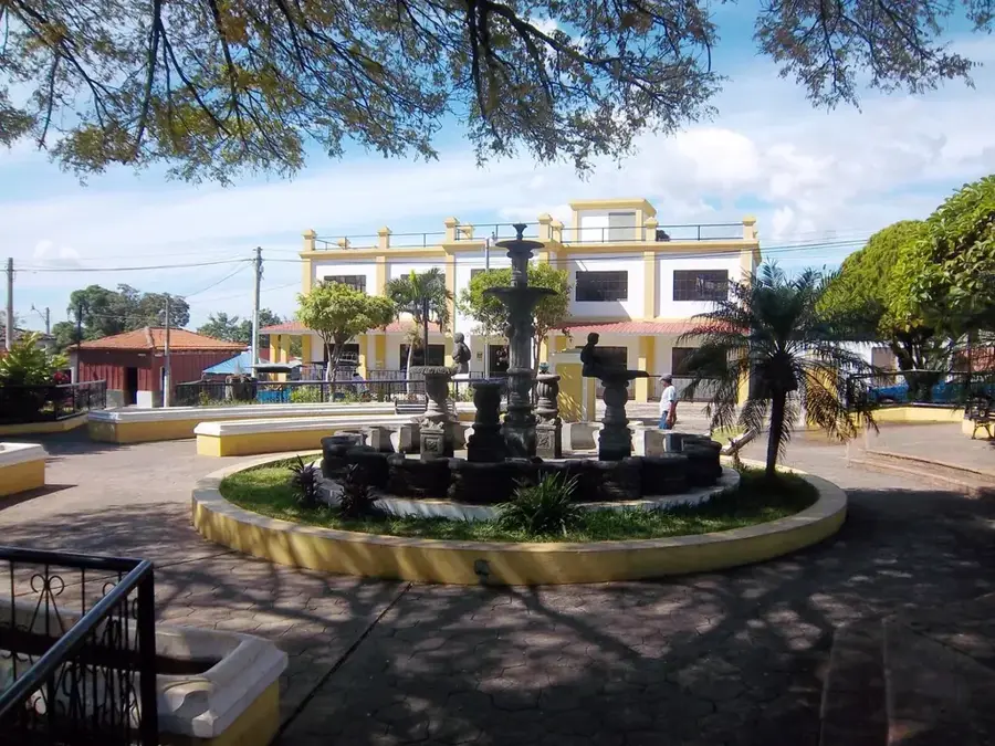
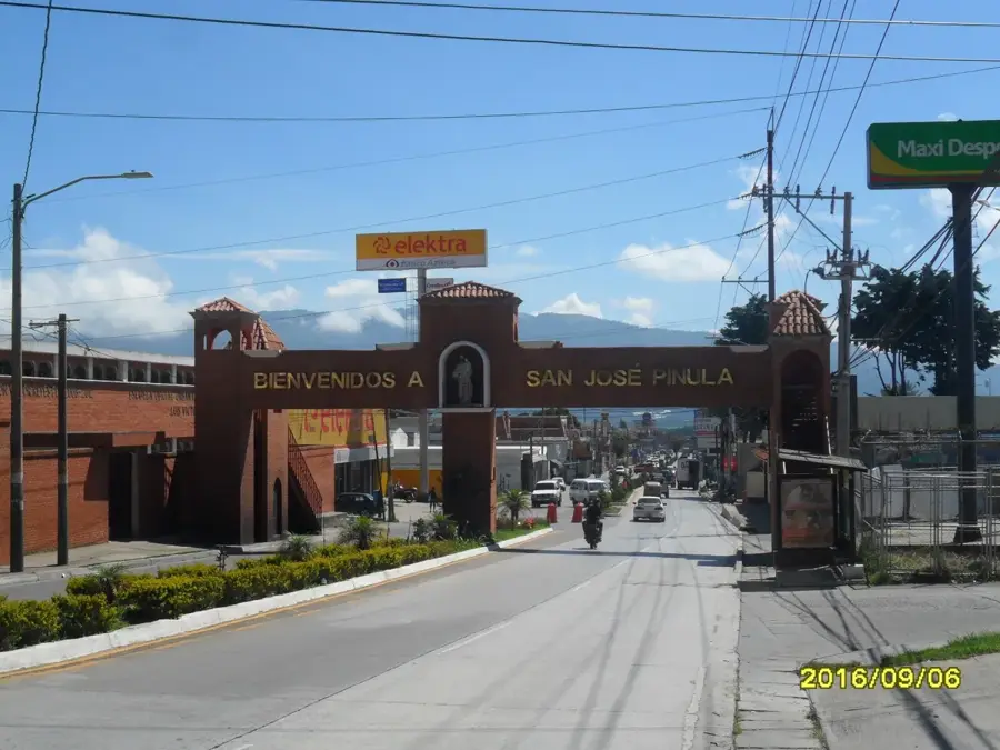
- Nearby: Chiquimulilla (6 km)
Best time to visit & climate
The most pleasant time to visit is Jan–Mar.
| Jan | Feb | Mar | Apr | May | Jun | Jul | Aug | Sep | Oct | Nov | Dec | |
|---|---|---|---|---|---|---|---|---|---|---|---|---|
| Avg °C | 19 | 21 | 23 | 24 | 24 | 22 | 22 | 22 | 22 | 21 | 19 | 19 |
| Rain mm | 14 | 13 | 14 | 34 | 143 | 195 | 161 | 202 | 214 | 152 | 47 | 19 |
📋 Practical info
Geography
Facts
- Laguna de Ayarza has a maximum depth of approximately 230 meters.
- The lake is situated at an elevation of 1,409 meters above sea level.
- The formation of the caldera is dated back to the Late Pleistocene.
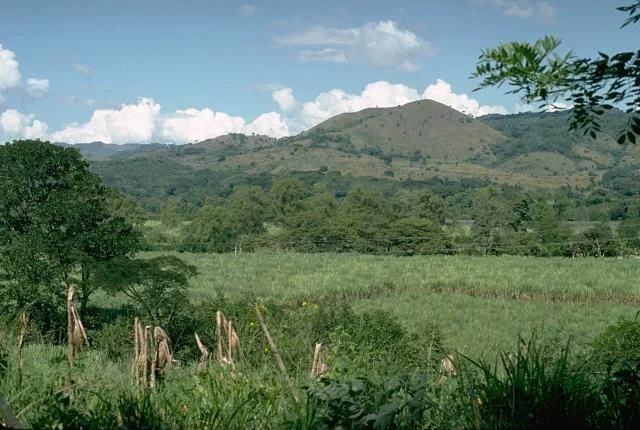
- High-quality coffee is grown in the volcanic soil of the surrounding area.
- There are no major inflows; the lake is sustained by rainfall and springs.
- The surface area of the lake is approximately 14 square kilometers.
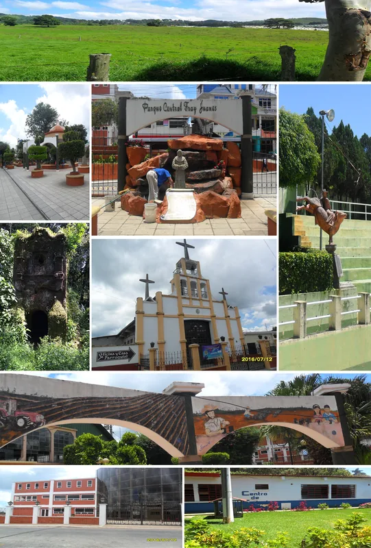
Explore nearby
Notable places around
Route planner — Car & Motorhome
Where do you start? We build the route here, with stops and country notes along the way.
© OpenStreetMap contributors · OpenRouteService
Sights nearby
Frequently asked questions
How do you get to Laguna de Ayarza?
Can you swim there?
Are there picnic spots?
Is it crowded on weekends?
What is the best season?
Laguna de Ayarza: where is it located?
Laguna de Ayarza: when is the best time to visit?
Laguna de Ayarza: why is it worth visiting?

Nearby cities
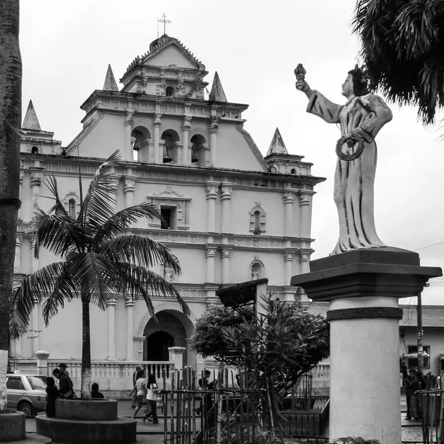
History & landmarks

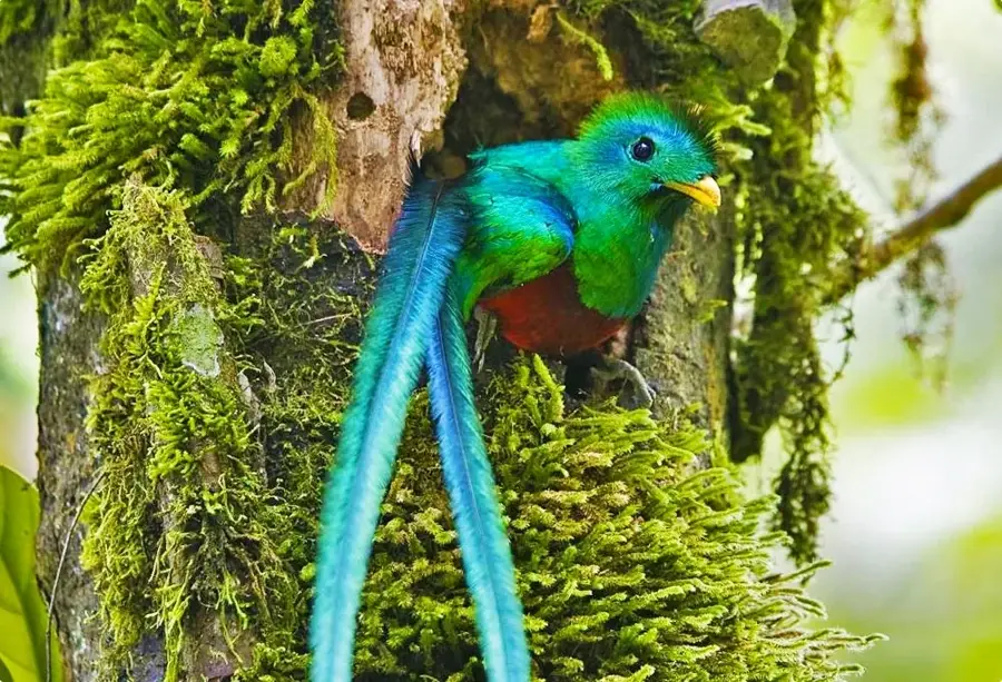
Nature
More places