Plizio Visual Lab
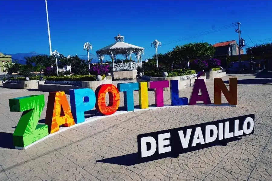
Zapotitlán
ℹ️Practical info — Zapotitlán
▾
🌤 Weather — 5 days
📍 Nearby
Sights nearby
💡 Tips
- The weather is generally warm; sun protection and a hat are highly recommended.
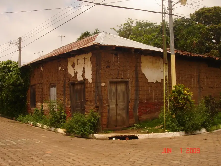
- Zapotitlán is off the main tourist trail, offering a genuinely authentic rural Guatemalan experience.
- Cash is essential, as ATMs may be scarce or unreliable in this small town.
- It's common to greet people you pass on the street with a polite 'buenos días' or 'buenas tardes'.
🍽 Food
Due to the proximity to El Salvador, you can find excellent pupusas in local street stalls.
A hearty beef and vegetable soup served in the local comedores.
A sweet, warm pineapple beverage occasionally sold by vendors in the morning.
🛍 Shopping · 🧘 Quiet spots
The best place to buy fresh seasonal fruits, vegetables, and basic household items.
Look for locally made fresh cheeses and cream at small neighborhood grocers.
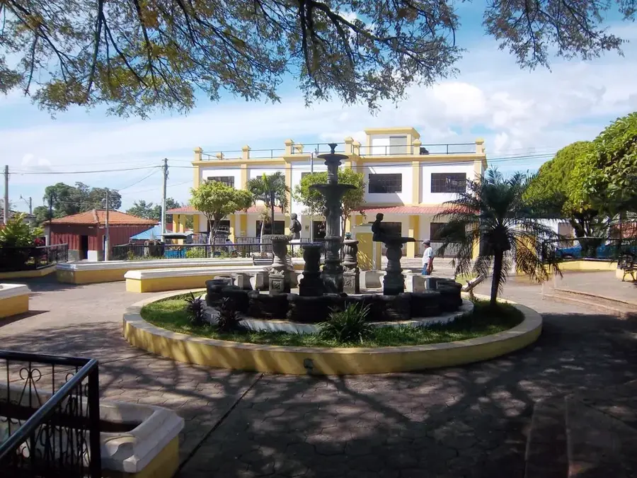
The modest town square is the first-rate spot for a quiet rest and observing local life.
Walk along the rural roads outside the town center to enjoy peaceful agricultural landscapes.
Water temperature…
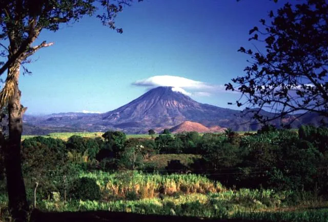
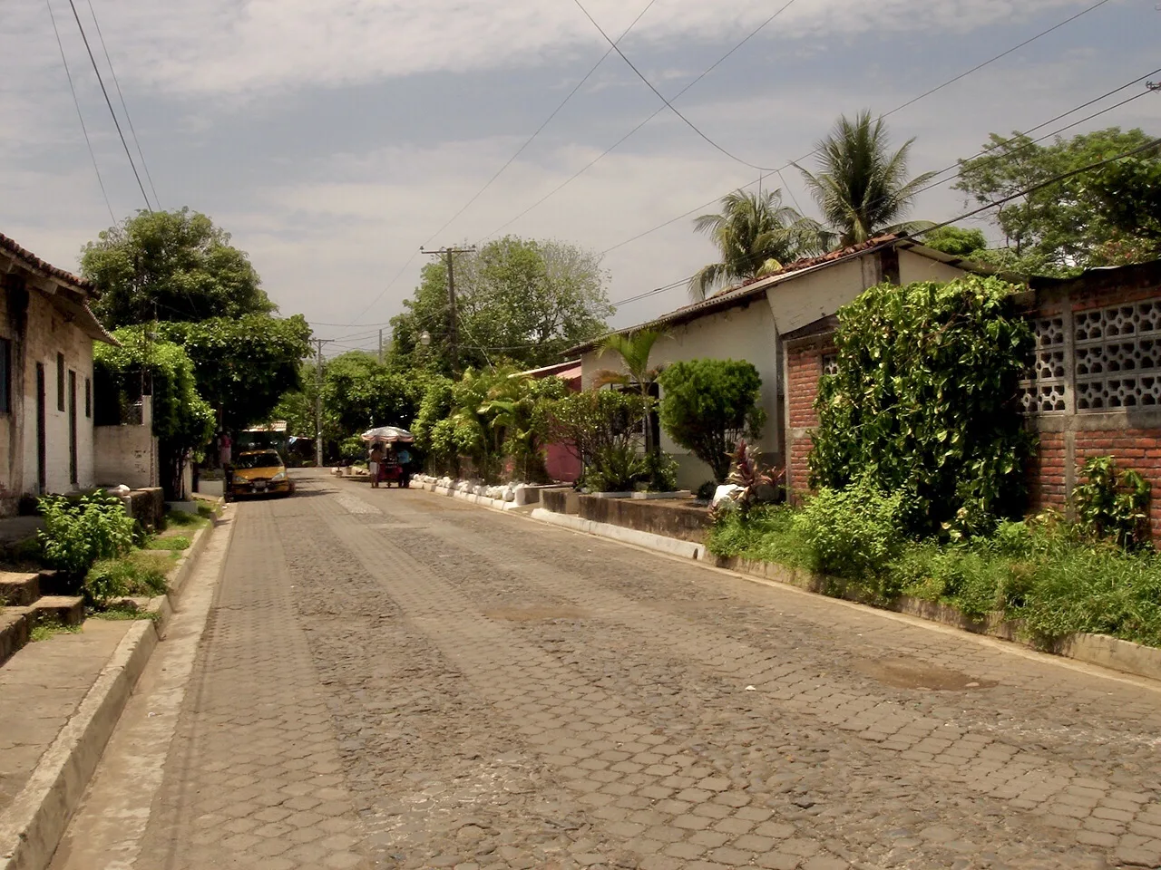
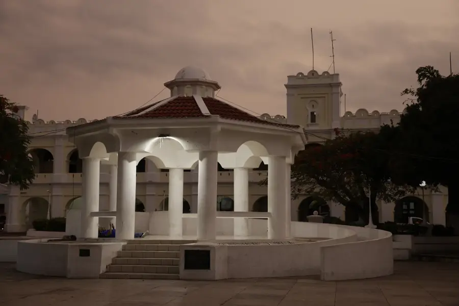
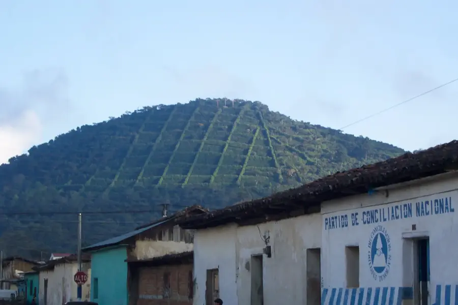
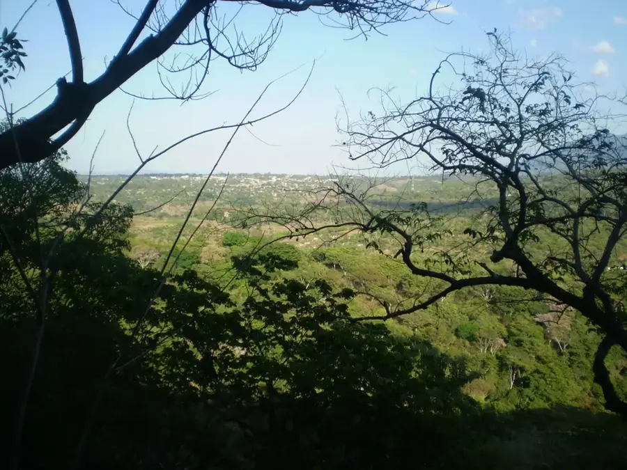
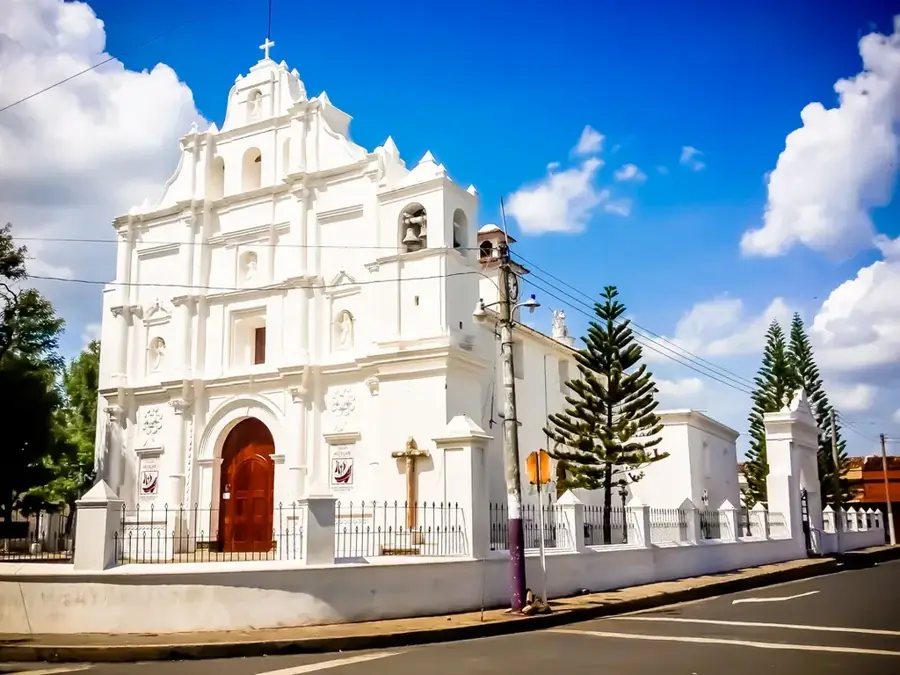
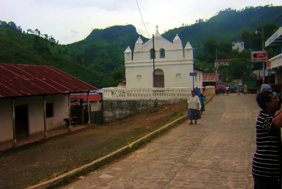
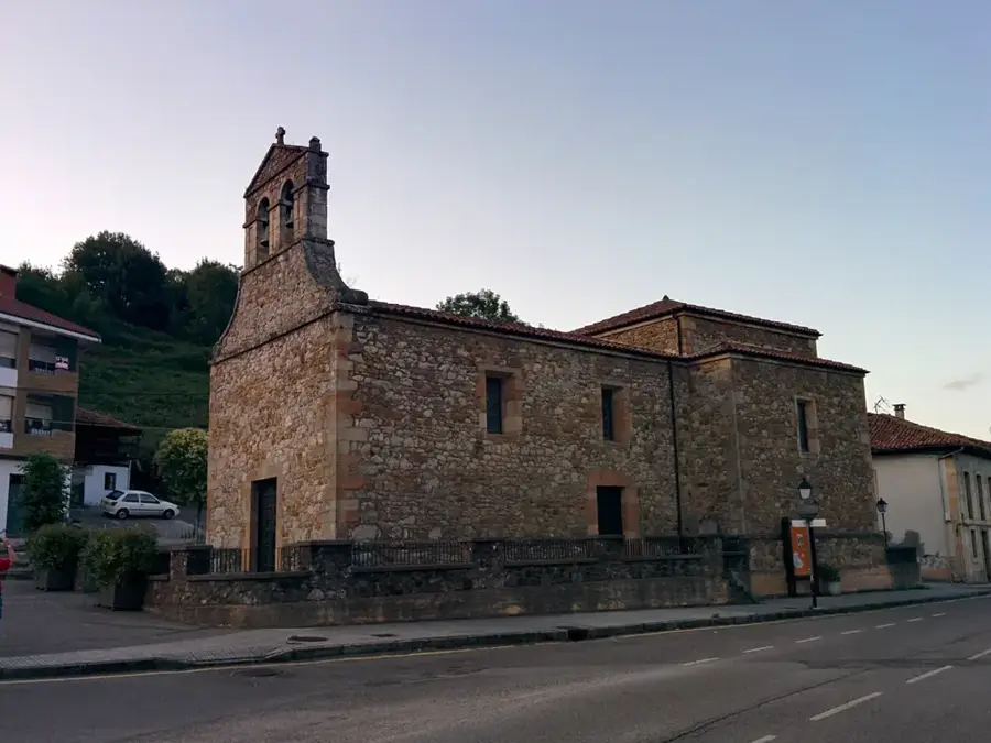
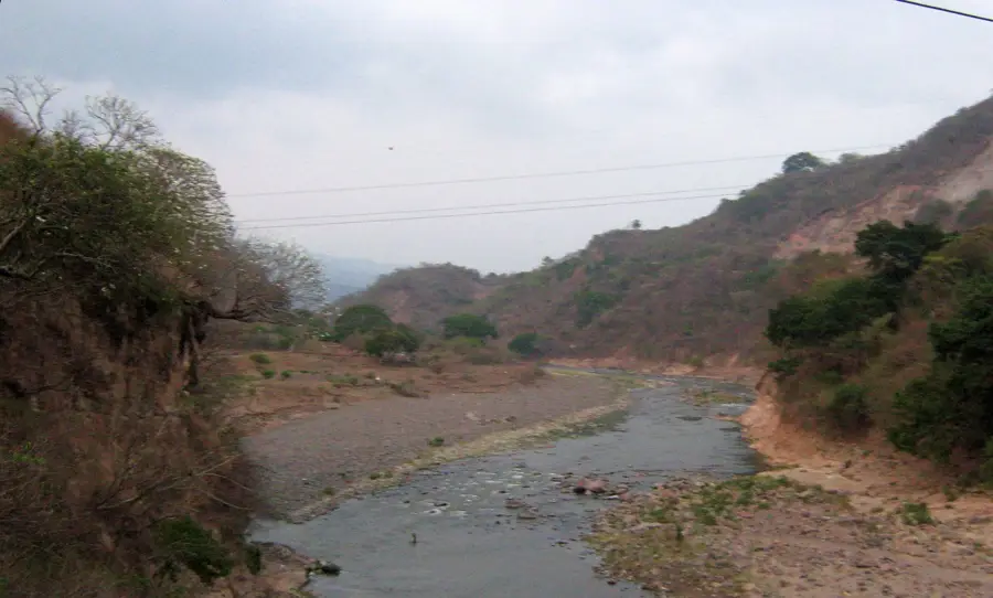
Zapotitlán is a municipality in the Jutiapa Department of southeastern Guatemala, near the border with El Salvador. The region is characterized by a spectacular volcanic landscape, being situated in close proximity to the Suchitán Volcano, the highest peak in the eastern part of the country. This geological setting provides fertile soils good for agriculture. Economically, Zapotitlán relies primarily on the cultivation of high-quality coffee, which thrives in the municipality's higher elevations, as well as the production of corn and beans for local consumption. The climate is temperate due to the altitude, differing from the intense heat of Jutiapa's lower areas. The town maintains a traditional atmosphere with colonial influences in its architecture and a central park that serves as the social hub of the community. Its proximity to the border also makes the town an interesting point for cross-border exchange and trade between the two Central American nations.
- Location: Guatemala
- Nearby: San Benito (11 km)
- Population: ~1.617 (2020)
Best time to visit & climate
The most pleasant time to visit is Jan, Feb, Dec.
| Jan | Feb | Mar | Apr | May | Jun | Jul | Aug | Sep | Oct | Nov | Dec | |
|---|---|---|---|---|---|---|---|---|---|---|---|---|
| Avg °C | 23 | 25 | 26 | 27 | 26 | 25 | 25 | 25 | 24 | 24 | 23 | 23 |
| Rain mm | 6 | 8 | 8 | 34 | 159 | 207 | 178 | 218 | 227 | 171 | 45 | 11 |
Geography
Facts
- Zapotitlán is located at the foot of the 2,042-meter-high Suchitán Volcano.
- The municipality was officially founded on October 11, 1825.
- Coffee is the most important export product of the local agriculture.
- The town is located approximately 160 kilometers from Guatemala City.
- The region belongs to the so-called 'Volcanic Arc' of Central America.
- Every year in February, the patronal festival in honor of the Virgin of Candelaria takes place.
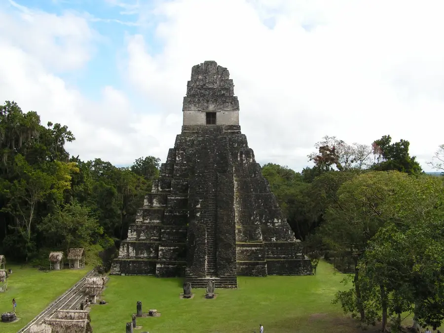
Explore nearby
Notable places around
Route planner — Car & Motorhome
Where do you start? We build the route here, with stops and country notes along the way.
© OpenStreetMap contributors · OpenRouteService
Frequently asked questions
What are the 'Cuevas de Zapotitlán'?
What is the region known for agriculturally?
What is the terrain like?
When is the best time to visit?
Are there sulfur baths?
Zapotitlán: where is it located?
Zapotitlán: when is the best time to visit?
Zapotitlán: why is it worth visiting?

Nearby cities

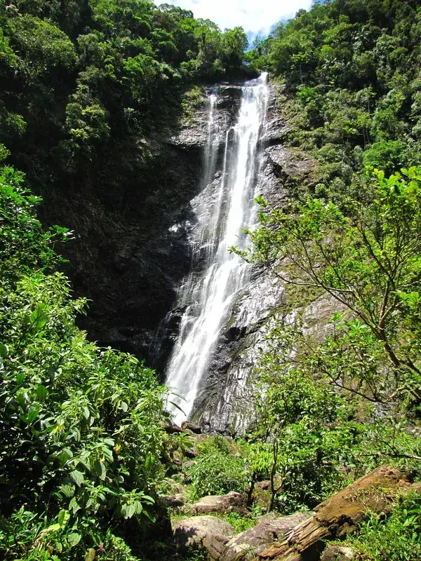
Nature
More places