Plizio Visual Lab
San Antonio Suchitepéquez
ℹ️Practical info — San Antonio Suchitepéquez
▾
🌤 Weather — 5 days
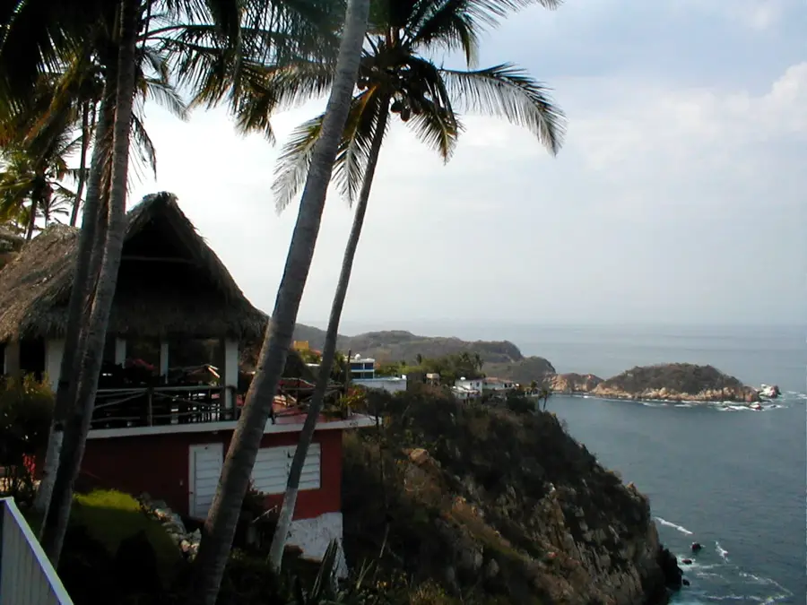
📍 Nearby
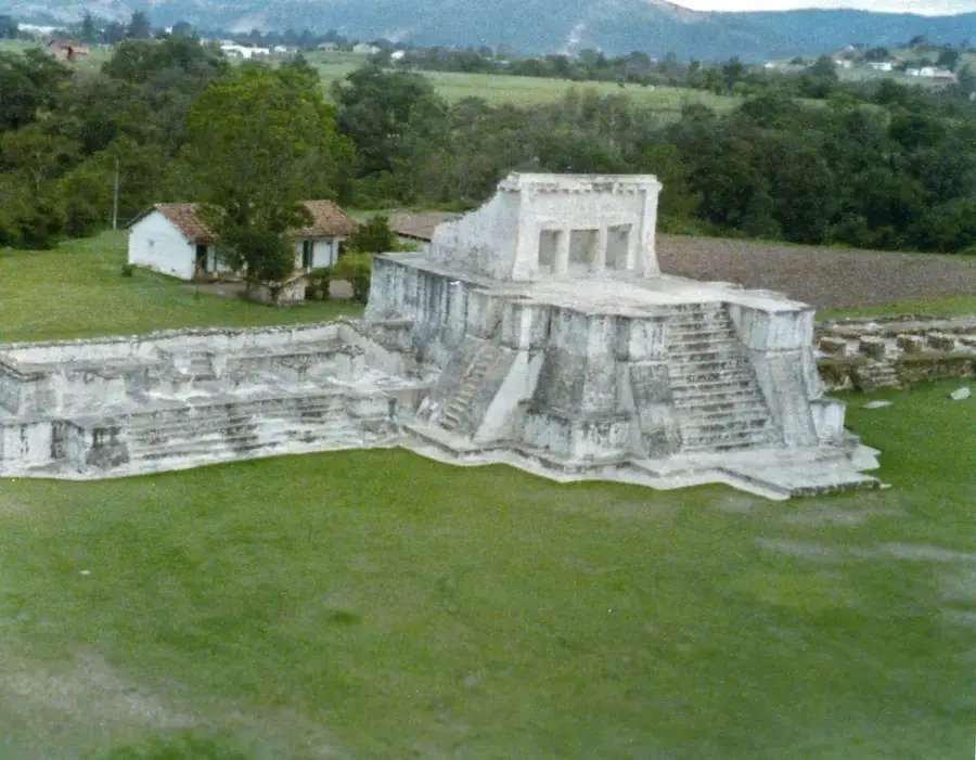
Sights nearby
💡 Tips
- The climate here is noticeably hotter and more humid than the highlands; pack light, breathable clothing.
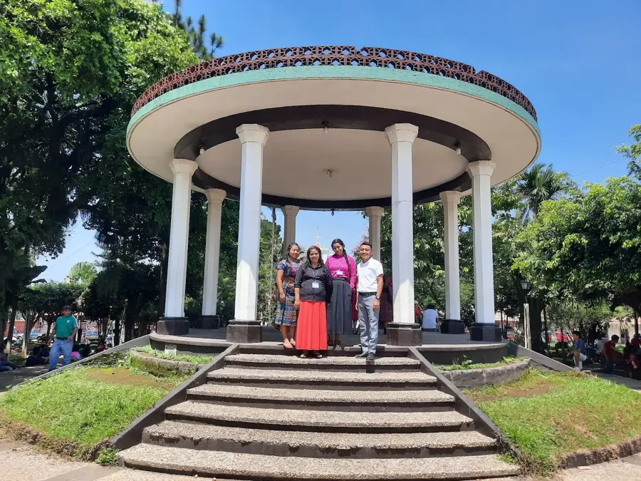
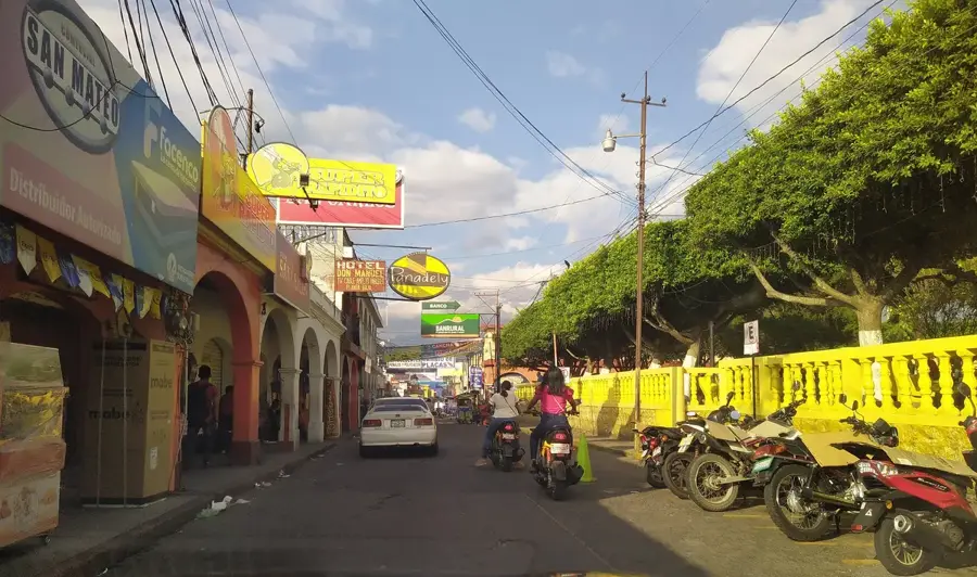
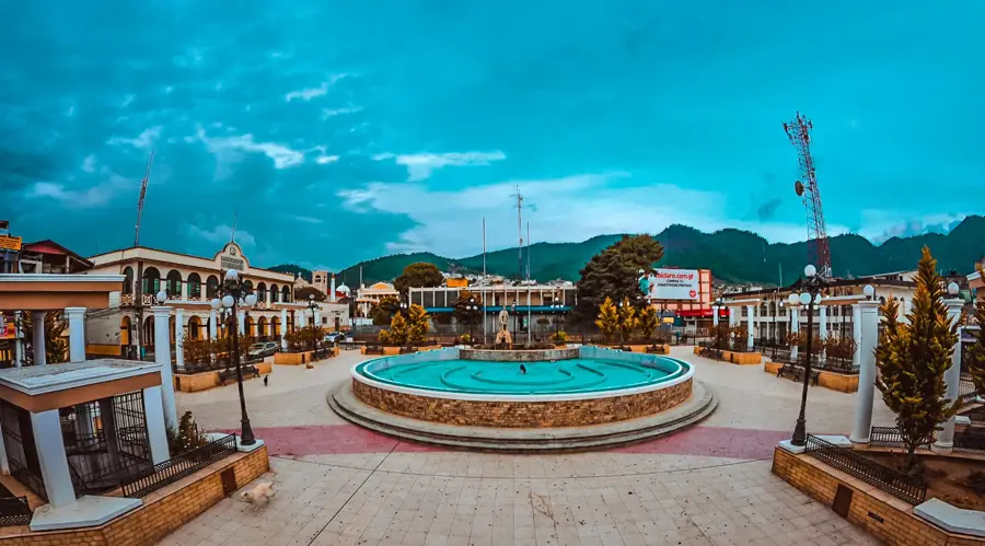
- The Plaza Central is the hub of activity, where you will find most food stalls and transport options.
- For short distances within the city, the red tuk-tuks are your best and cheapest option.
- As an agricultural center, the town is bustling on weekdays, especially early in the morning.
🍽 Food
Buy fresh mangoes, papayas, and other tropical fruits grown in the Suchitepéquez region at the main market.
In the evening, look around the central plaza for stalls selling these small, fried tortillas topped with minced meat.
Cool down on hot afternoons with a refreshing fruit drink (Fresco de Tamarindo or Rosa de Jamaica) from street vendors.
🛍 Shopping · 🧘 Quiet spots
An authentic everyday market, great for people-watching and buying affordable spices or coffee.
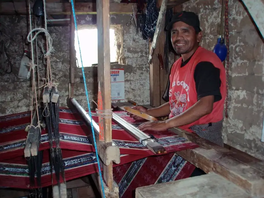
In the side streets, you can occasionally find craftsmen selling sturdy leather belts or bags.
Despite its central location, it has shaded benches under large trees to hide from the midday heat.
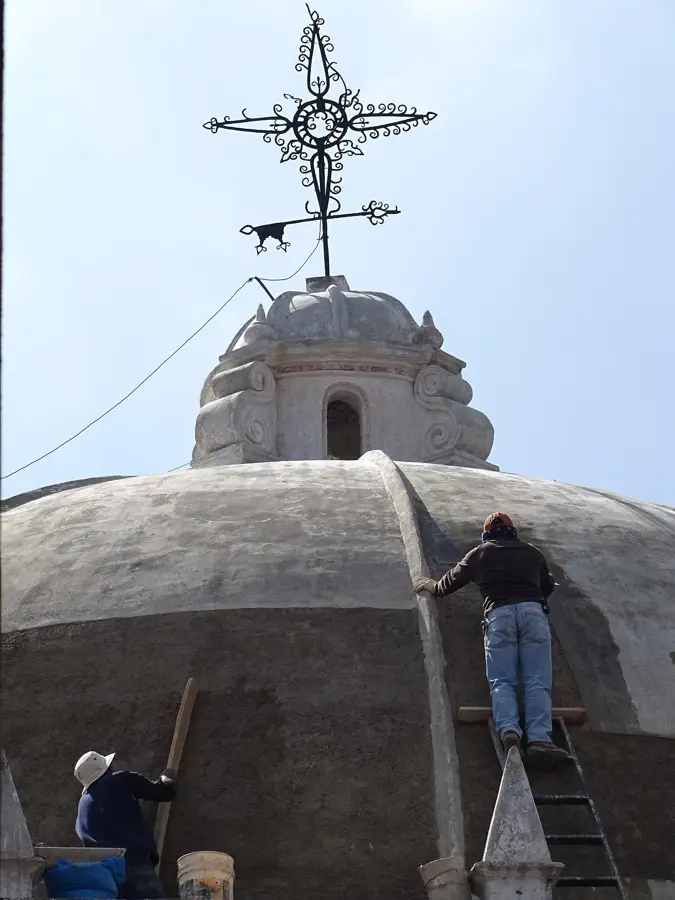
The cool interior of the main church provides a quiet escape from the noise of the streets.
Water temperature…
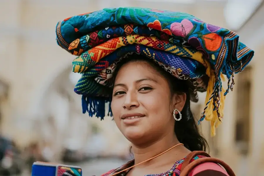
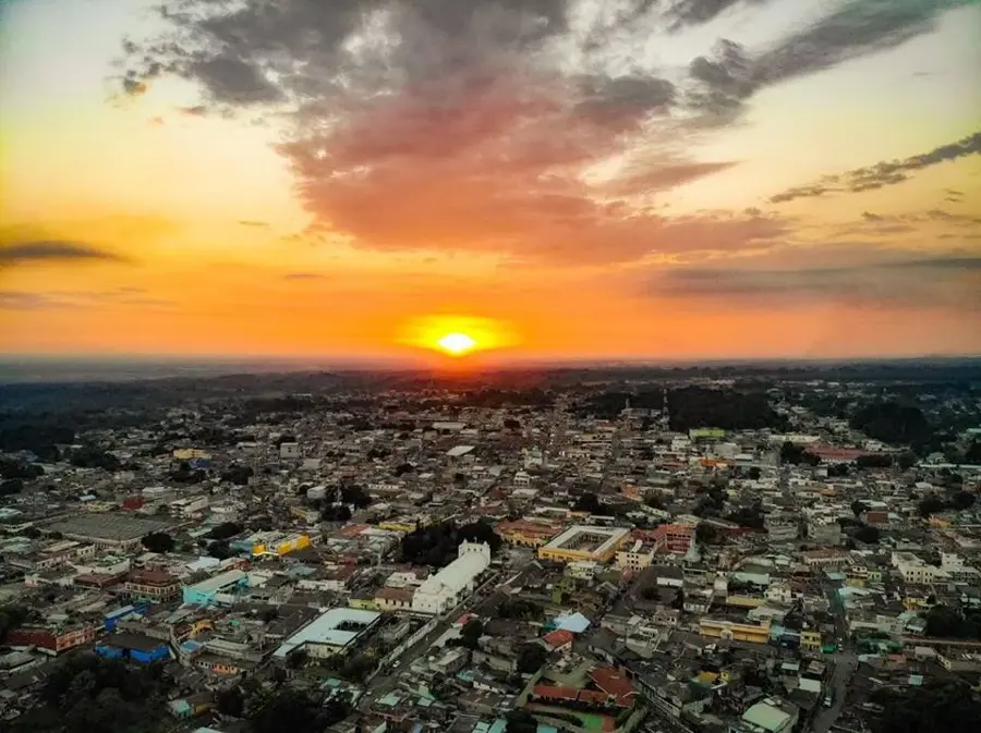
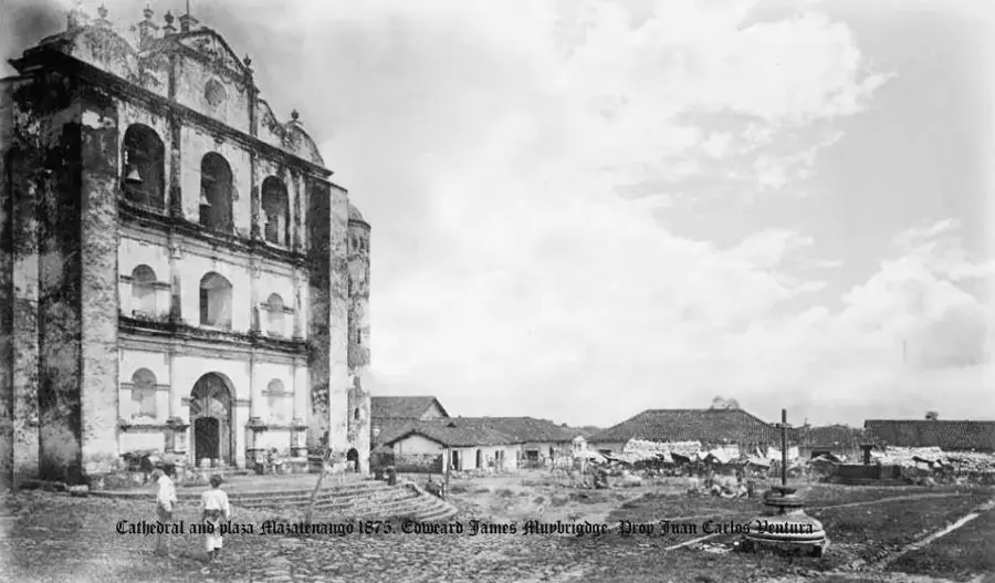
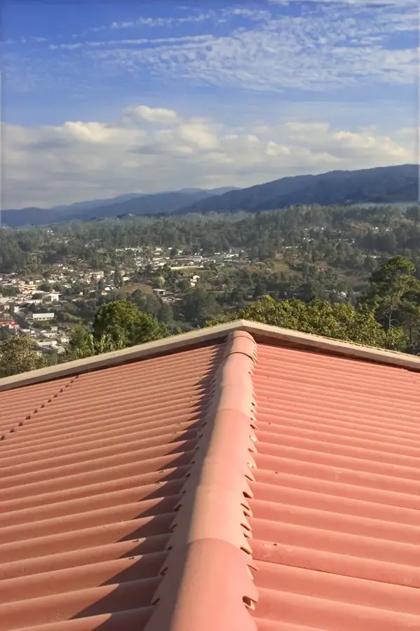
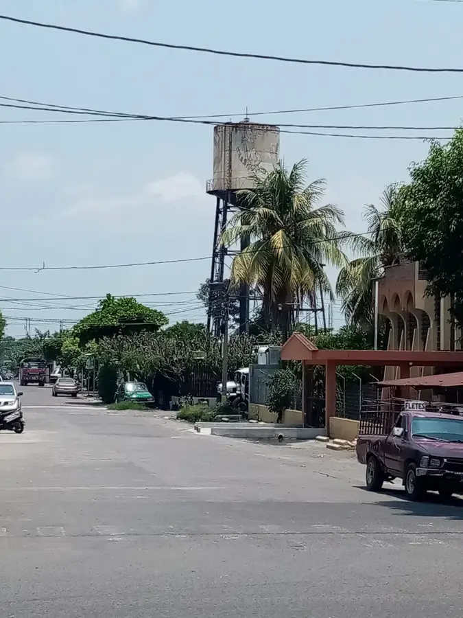
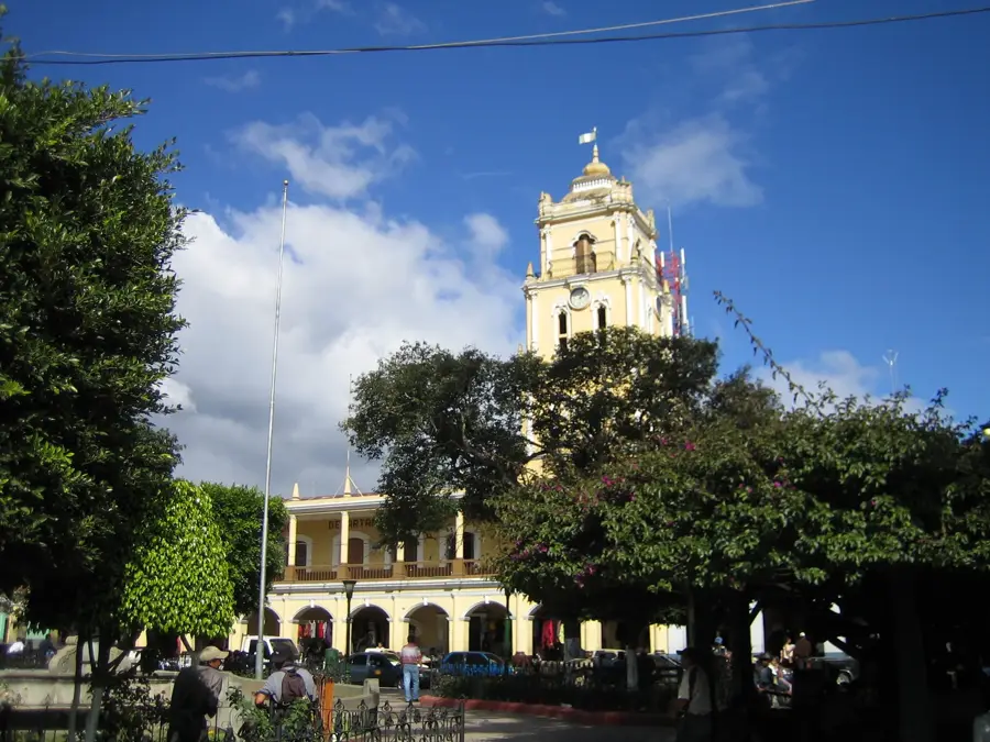
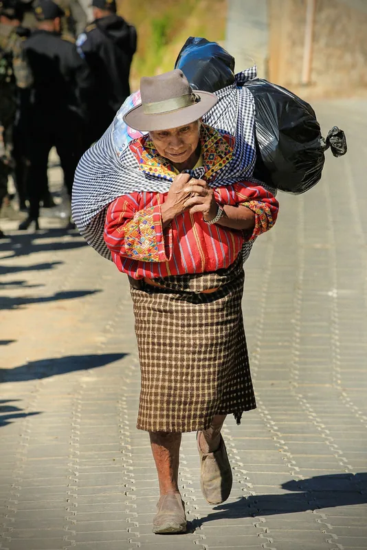
San Antonio Suchitepéquez is a historic town in the Suchitepéquez Department, known for its central location within Guatemala's agricultural heartland. The town's origins date back to the Spanish colonial era when it was known as San Antonio de los Regadíos, serving as a strategic point on trade routes leading to the Pacific coast. Geographically, the town is situated at an elevation of approximately 380 meters, favoring a hot and humid climate convenient for the production of sugar cane, coffee, and cardamom. San Antonio acts as a bustling commercial center where farmers from the entire region sell their produce in bustling local markets. The town's architecture features a mix of modern buildings and remnants of colonial structures, with the central Catholic church being its most prominent landmark. The community is famous for its lively religious traditions, particularly the festivities in honor of Saint Anthony of Padua in June. In recent decades, the town has seen steady economic expansion, making it one of the most dynamic municipalities in the department.
- Location: Guatemala
- Nearby: Tiquisate (6 km)
- Population: ~13.666 (2023)
Best time to visit & climate
The most pleasant time to visit is Jan, Feb, Dec.
| Jan | Feb | Mar | Apr | May | Jun | Jul | Aug | Sep | Oct | Nov | Dec | |
|---|---|---|---|---|---|---|---|---|---|---|---|---|
| Avg °C | 21 | 22 | 23 | 24 | 24 | 23 | 23 | 23 | 22 | 22 | 21 | 21 |
| Rain mm | 4 | 6 | 18 | 64 | 231 | 317 | 234 | 292 | 346 | 302 | 61 | 8 |
Geography
Facts
- San Antonio Suchitepéquez sits at an elevation of 380 meters.
- In colonial times, the town was known as San Antonio de los Regadíos.
- The patronal feast is celebrated annually on June 13.
- Key agricultural products include sugar cane, coffee, and bananas.
- The town is located approximately 155 kilometers from Guatemala City.
- It is recognized as a major commercial hub in the Suchitepéquez Department.
Explore nearby
Notable places around
Route planner — Car & Motorhome
Where do you start? We build the route here, with stops and country notes along the way.
© OpenStreetMap contributors · OpenRouteService
Frequently asked questions
What is the city's economic center?
Are there local festivals?
How is the connection?
What is the weather like?
What can you do in your leisure time?
San Antonio Suchitepéquez: where is it located?
San Antonio Suchitepéquez: when is the best time to visit?
San Antonio Suchitepéquez: why is it worth visiting?

Nearby cities

History & landmarks

Nature
More places