Plizio Visual Lab
Mazatenango
ℹ️Practical info — Mazatenango
▾
🌤 Weather — 5 days
📍 Nearby
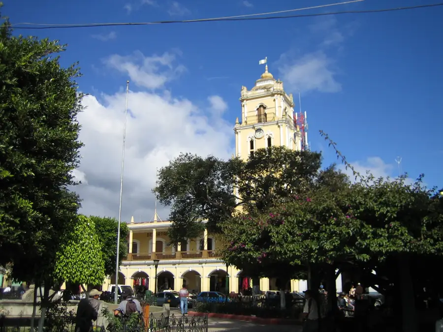
Sights nearby
💡 Tips
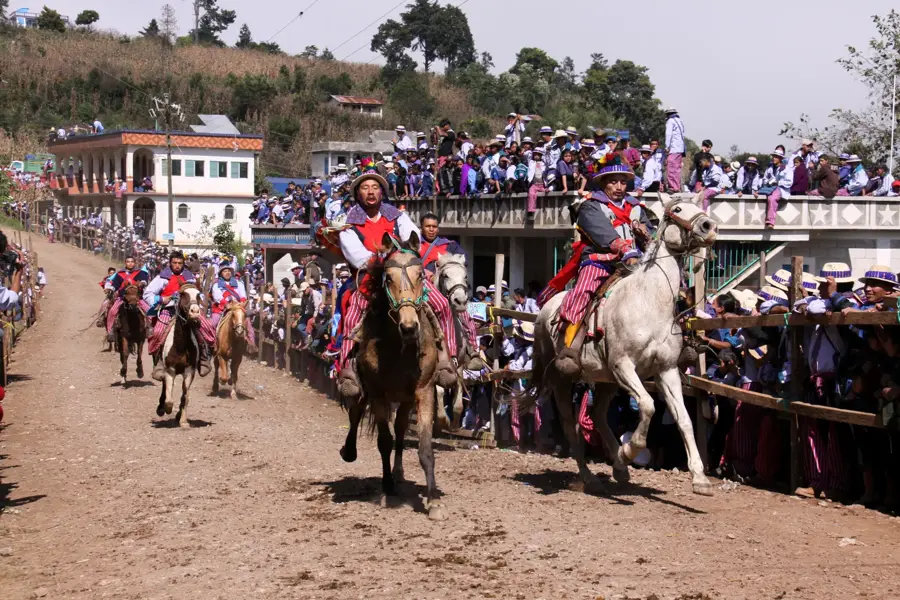
- Visit during the February Carnival for the city's biggest and most colorful festival.
- Drink plenty of water; the coastal climate here is extremely hot and humid.
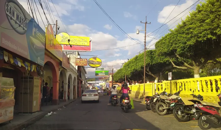
- Use tuk-tuks for quick, affordable trips around the bustling town center.
- Seek shade in the central park to escape the intense midday heat.
🍽 Food
Try this traditional turkey soup at the local comedores around the central market.
Buy these small, meat-filled tamales as a quick snack from street vendors by the park.
Taste fresh mangoes and pineapples at the fruit stalls in the local markets.
🛍 Shopping · 🧘 Quiet spots
Visit the main market for agricultural products, spices, and everyday items.
During the February carnival season, you'll find local handicrafts and festive items everywhere.
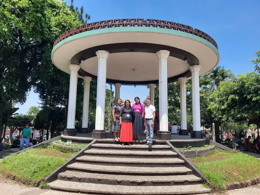
A shaded square convenient for resting on a bench and people-watching.
Take a walk towards the outskirts where it's quieter and you can see coffee plantations in the distance.
Water temperature…
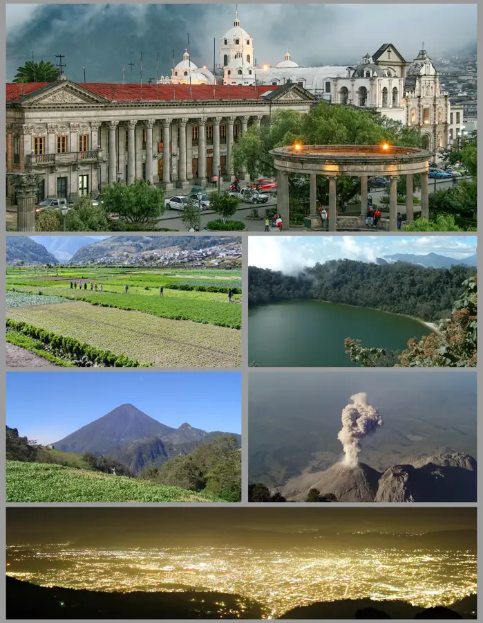
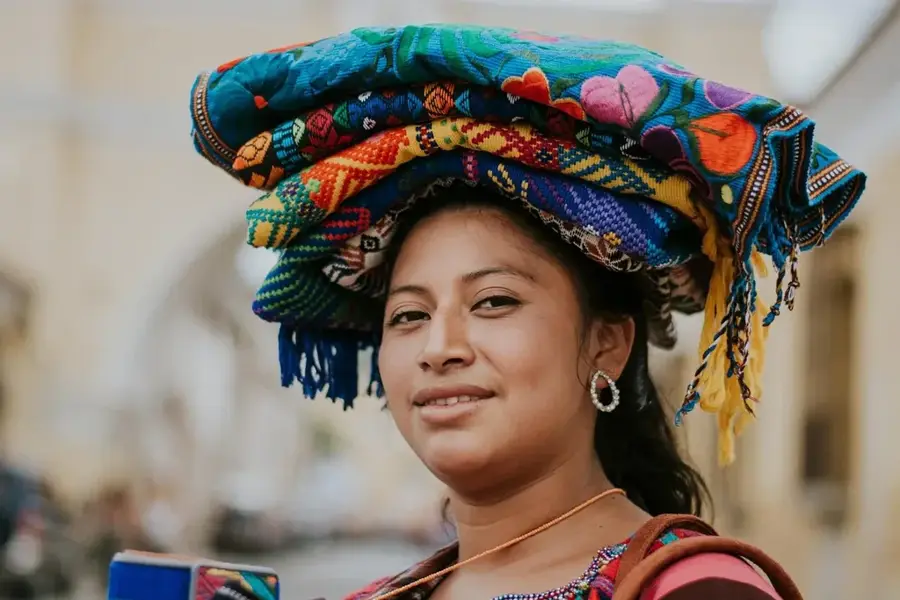
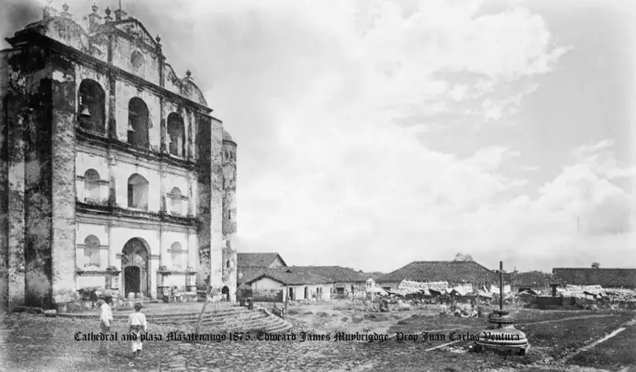
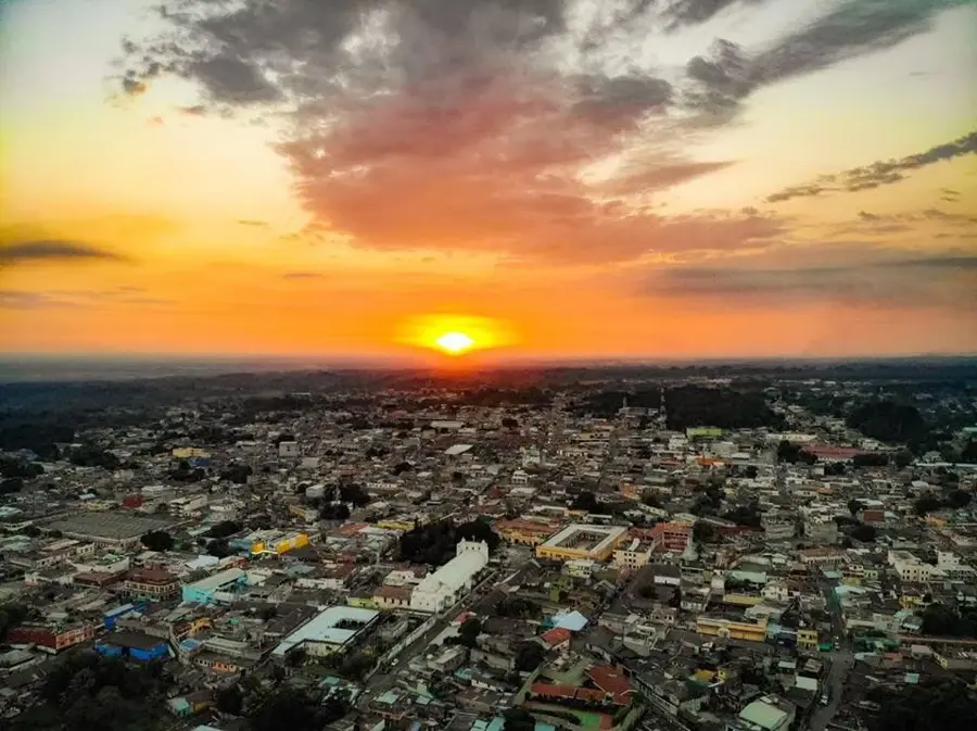
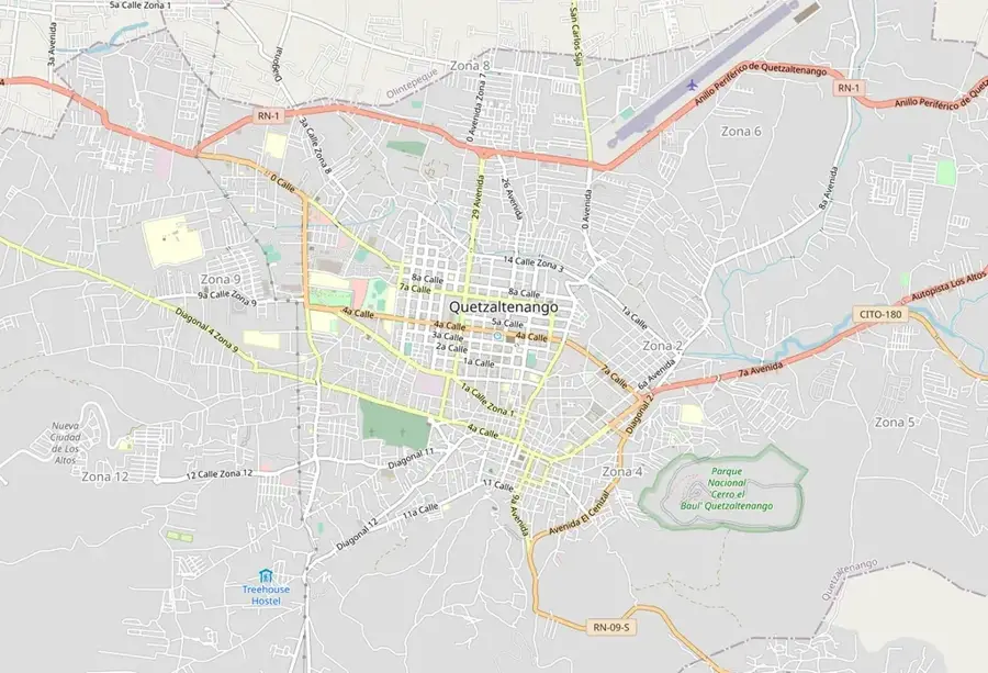
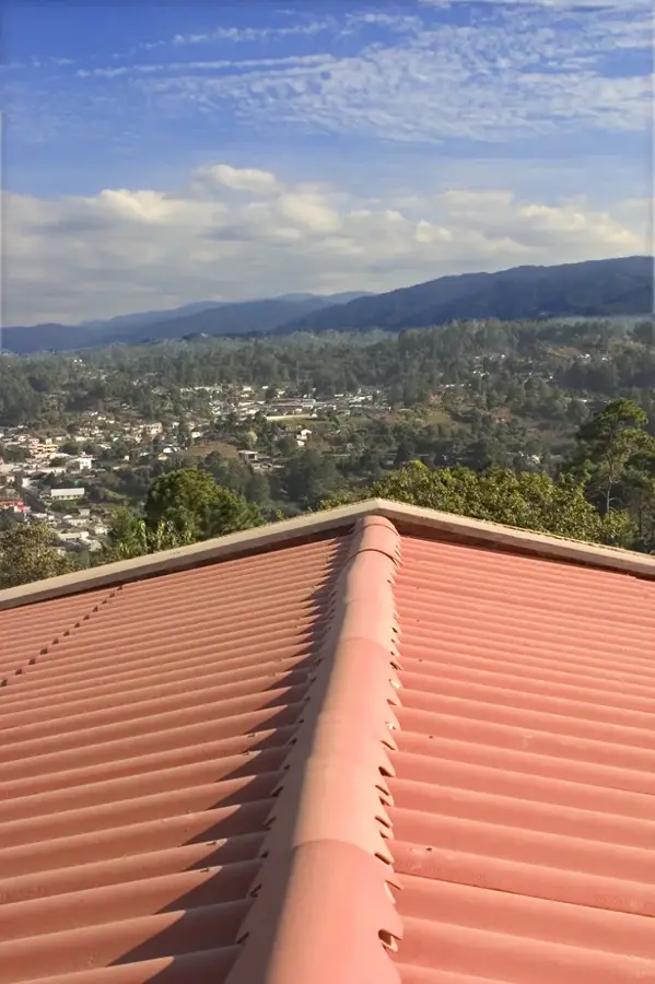
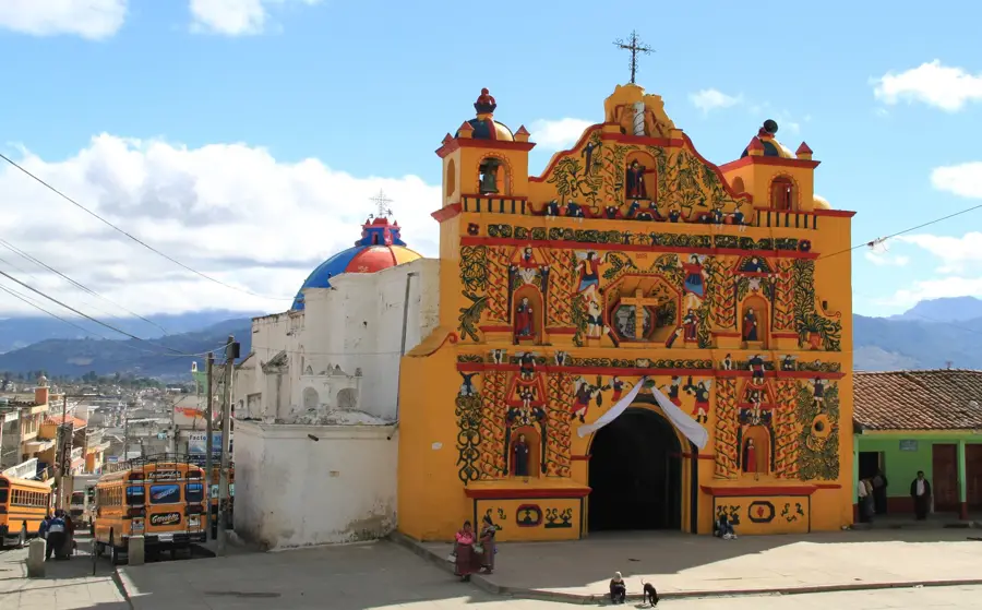
Mazatenango is the thriving capital of the Suchitepéquez Department in southwestern Guatemala, positioned on the fertile Pacific coastal plain at an altitude of about 370 meters. Its name, derived from Nahuatl, translates to 'Place of Deer,' harking back to its pre-Columbian roots. Today, Mazatenango stands as a major commercial and industrial powerhouse for the southern region. The city is surrounded by vast plantations of sugarcane, rubber, and coffee, which form the backbone of the local economy. Its tropical climate, characterized by high temperatures and humidity, also supports the large-scale production of bananas, papayas, and pineapples. Mazatenango's development was significantly boosted in the late 19th century by the arrival of the railway, which turned the city into a strategic shipping point for agricultural exports. The city's most famous cultural hallmark is the 'Carnaval de Mazatenango,' held every February. It is the most celebrated carnival in Guatemala, featuring spirited parades, elaborate costumes, and traditional dances that attract visitors from across Central America. The urban landscape is a blend of bustling commercial districts, modern shopping malls, and historical sites like the old train station. Strategically located on the CA-2 highway, Mazatenango is a vital link between Guatemala City and the Mexican border. The city also serves as an important regional educational center, hosting several university campuses. Local cuisine is rich and varied, often featuring seafood from the nearby coast and traditional dishes like 'caldo de mariscos.' The residents, known as Mazatecos, are renowned for their industry and festive spirit, making the city a lively and essential part of Guatemala's national identity.
- Location: Guatemala
- Top sights: Suchitepéquez Department · Mazatenango, Suchitepéquez · Carlos Salazar Hijo Stadium
- Nearby: Cantel (6 km)
- Population: ~77.431 (2025)
Best time to visit & climate
The most pleasant time to visit is Jan, Feb, Dec.
| Jan | Feb | Mar | Apr | May | Jun | Jul | Aug | Sep | Oct | Nov | Dec | |
|---|---|---|---|---|---|---|---|---|---|---|---|---|
| Avg °C | 21 | 22 | 23 | 24 | 24 | 23 | 23 | 23 | 22 | 22 | 21 | 21 |
| Rain mm | 4 | 6 | 18 | 64 | 231 | 317 | 234 | 292 | 346 | 302 | 61 | 8 |
Geography
Facts
- Mazatenango sits at an elevation of 370 meters above sea level.
- The name originates from Nahuatl, meaning 'Place of Deer'.
- The annual carnival in February is the most famous in Guatemala.
- The surrounding area is a top producer of rubber and sugarcane.
- It serves as the administrative capital of Suchitepéquez Department.
- The city is a key stop on the main highway to the Mexican border.
- Historical growth was driven by the coffee and railway boom.
- Mazatenango is a major educational and retail hub for the south coast.
Explore nearby
Notable places around
Route planner — Car & Motorhome
Where do you start? We build the route here, with stops and country notes along the way.
© OpenStreetMap contributors · OpenRouteService
Sights in the town Mazatenango (3)
Frequently asked questions
When does the famous carnival take place?
What is the weather like in Mazatenango?
What are the main economic activities?
Can Mazatenango be visited as a tourist?
How do you get to the beach from Mazatenango?
Mazatenango: where is it located?
Mazatenango: what is there to see?
Mazatenango: when is the best time to visit?
Mazatenango: why is it worth visiting?

Nearby cities
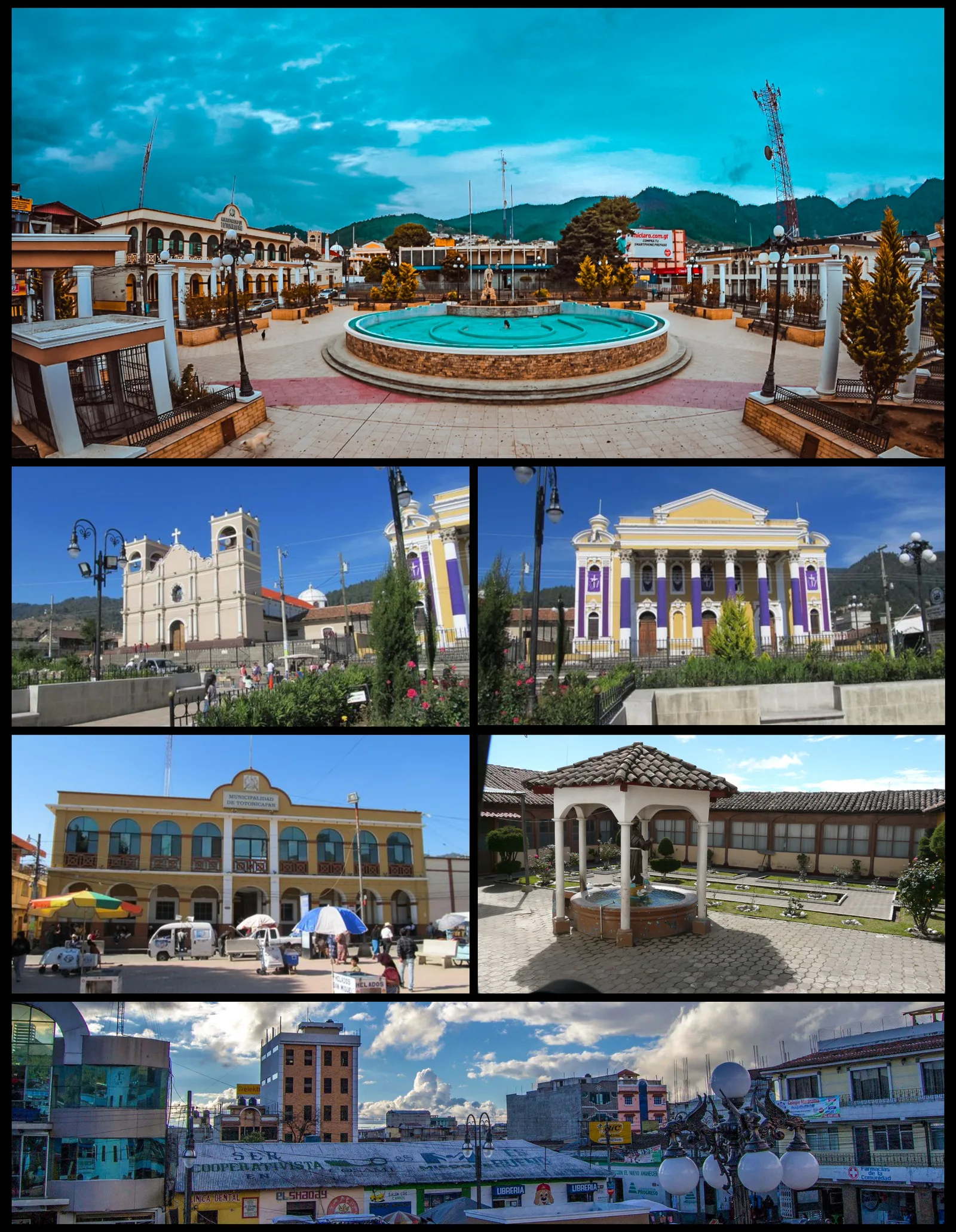
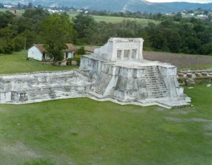
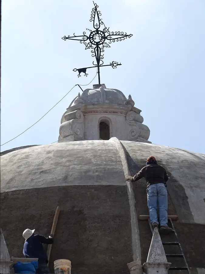
History & landmarks
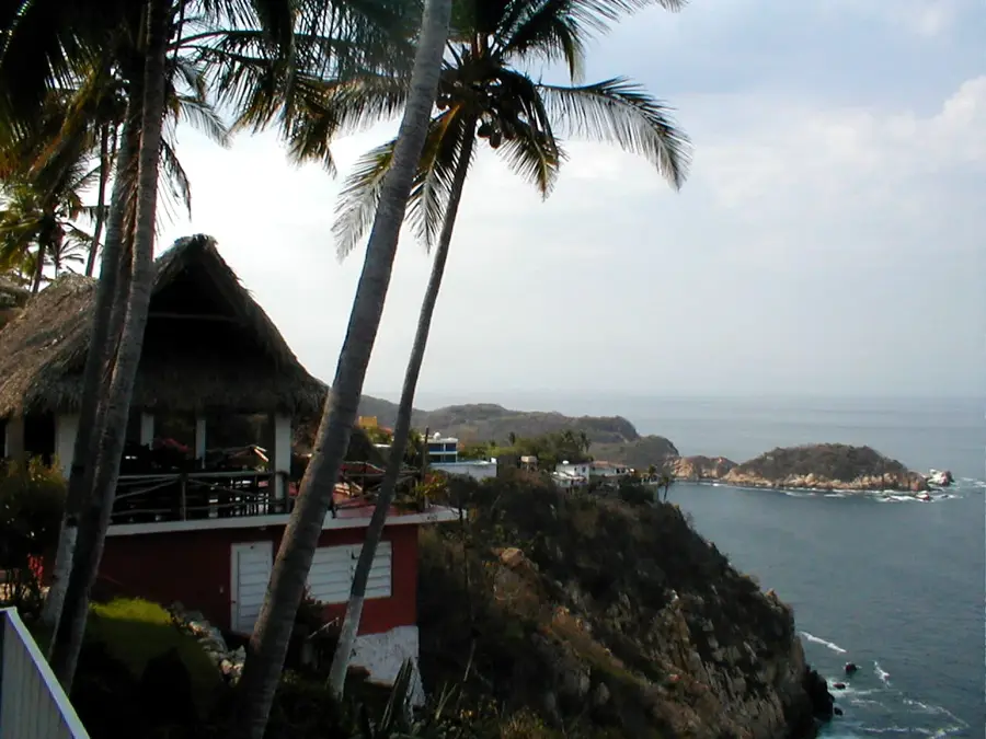
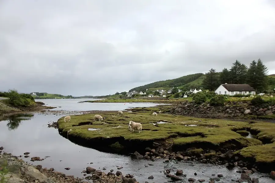
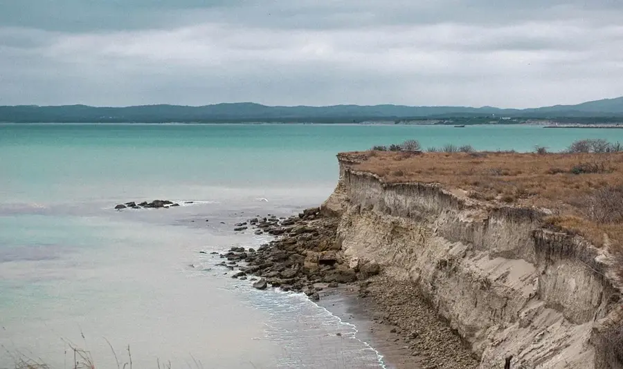
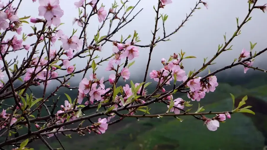
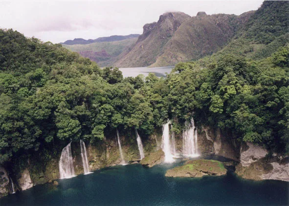
Nature
More places