Plizio Visual Lab
Patulul
ℹ️Practical info — Patulul
▾
🌤 Weather — 5 days
📍 Nearby
Sights nearby
💡 Tips
- Located in the warmer lowlands, so dress in light, breathable clothing.
- The town is an important agricultural hub, particularly for sugarcane and rubber.
- It's a key transit point for buses traveling along the Pacific slope highway.
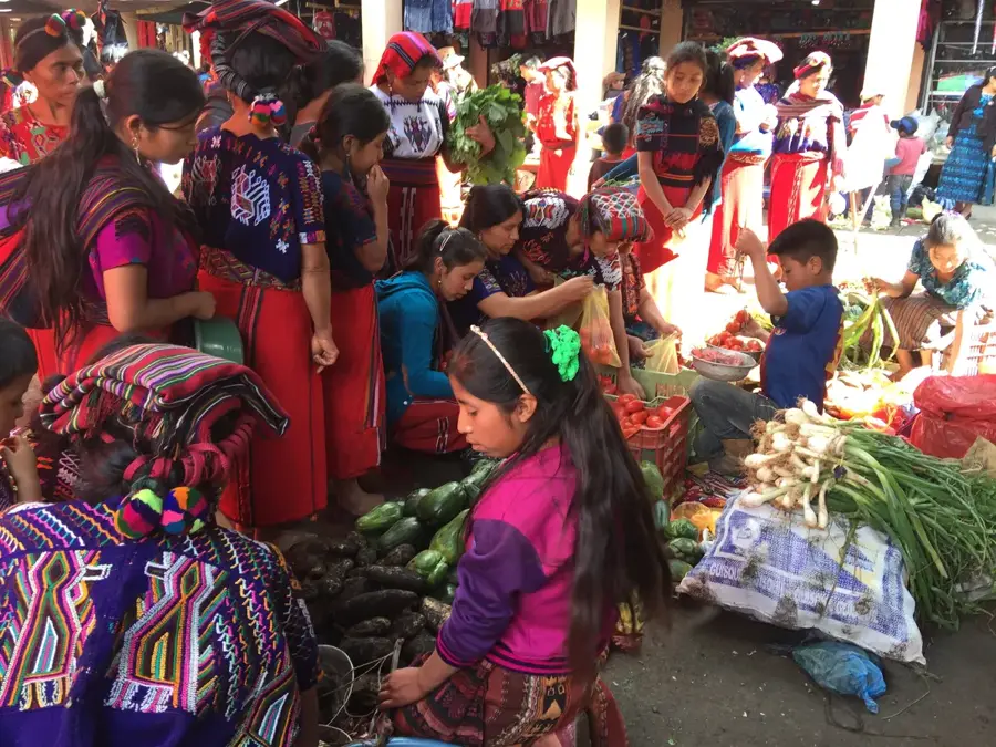
- Look out for the lively local market, which operates daily but is busiest on weekends.
🍽 Food
A hearty beef soup available at most local comedores near the market.
Buy fresh mangoes, papayas, and pineapples directly from street vendors.
Refreshing fruit smoothies blended with water or milk, first-rate for the hot climate.
🛍 Shopping · 🧘 Quiet spots
The central market is excellent for picking up very affordable, fresh tropical fruits.
Small shops around the center sell basic supplies and snacks for those in transit.
A shaded spot with benches to escape the midday heat.
Walking slightly out of town reveals quiet views of vast agricultural plantations.
Water temperature…
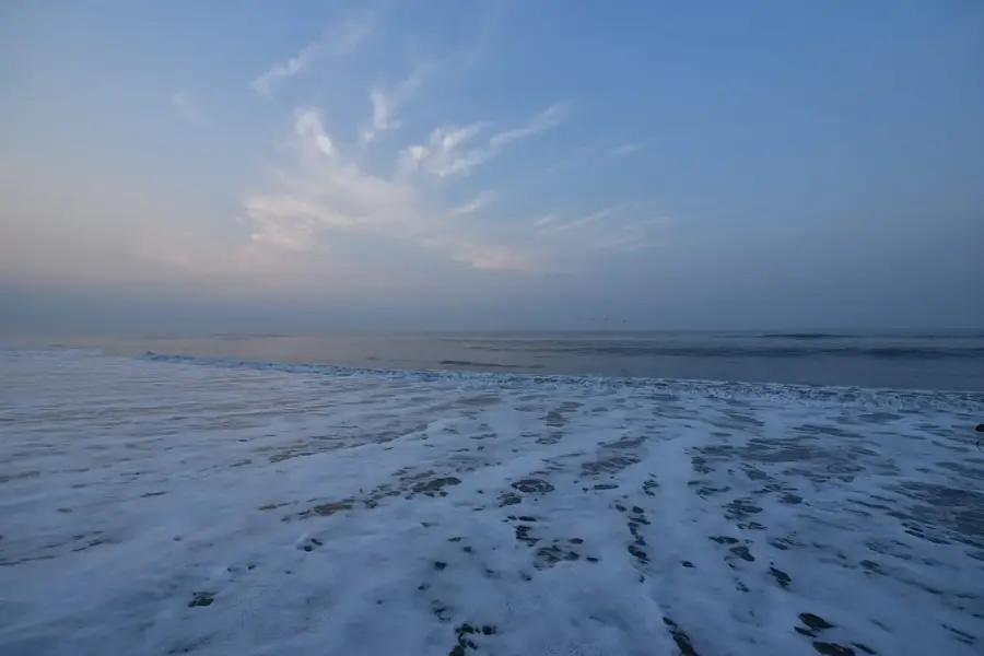
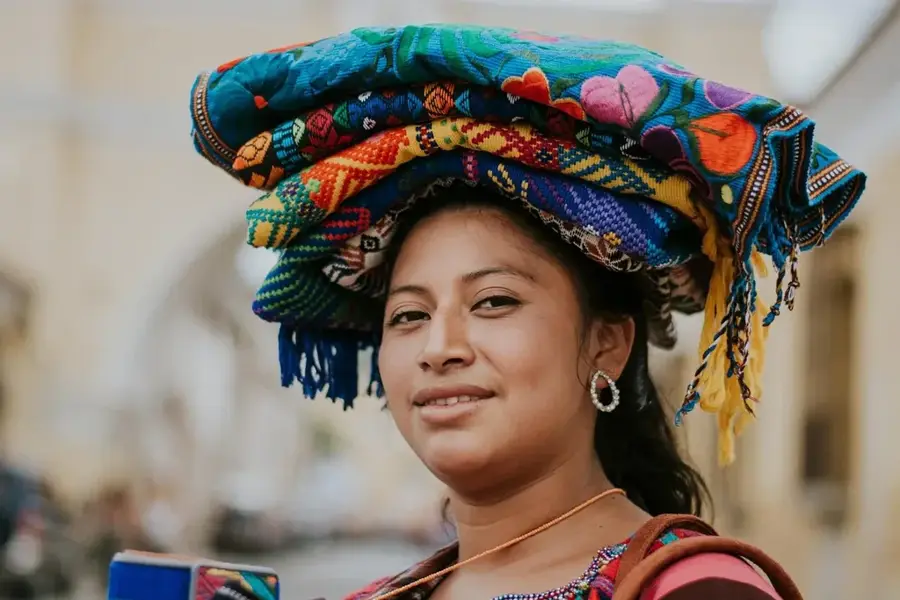
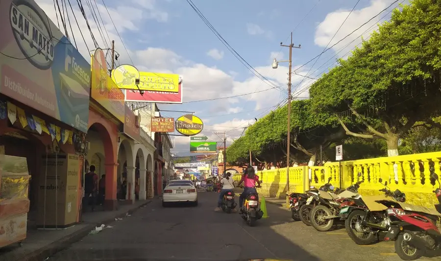
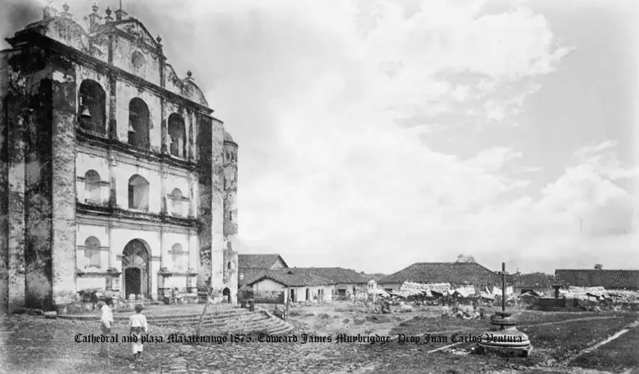
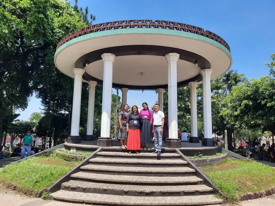
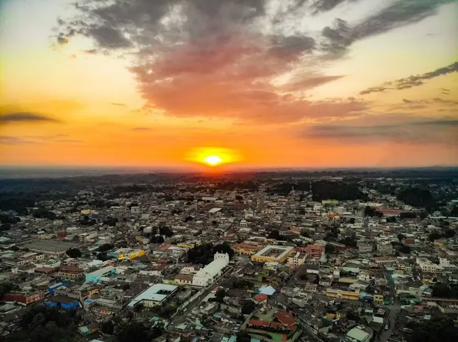
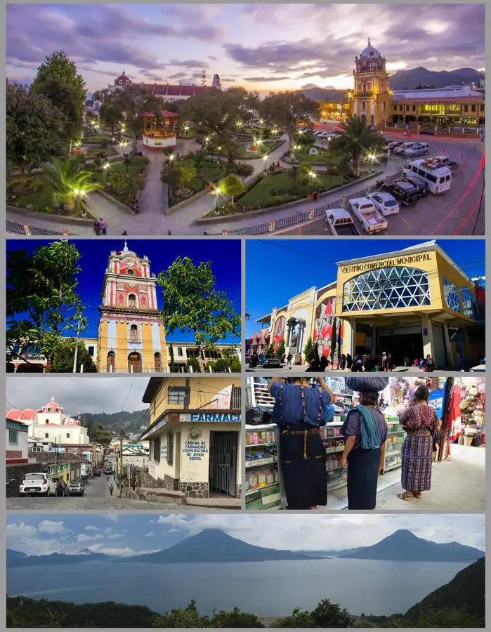
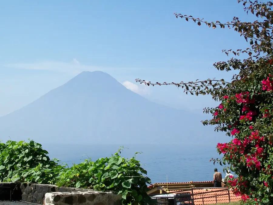
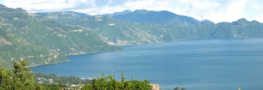
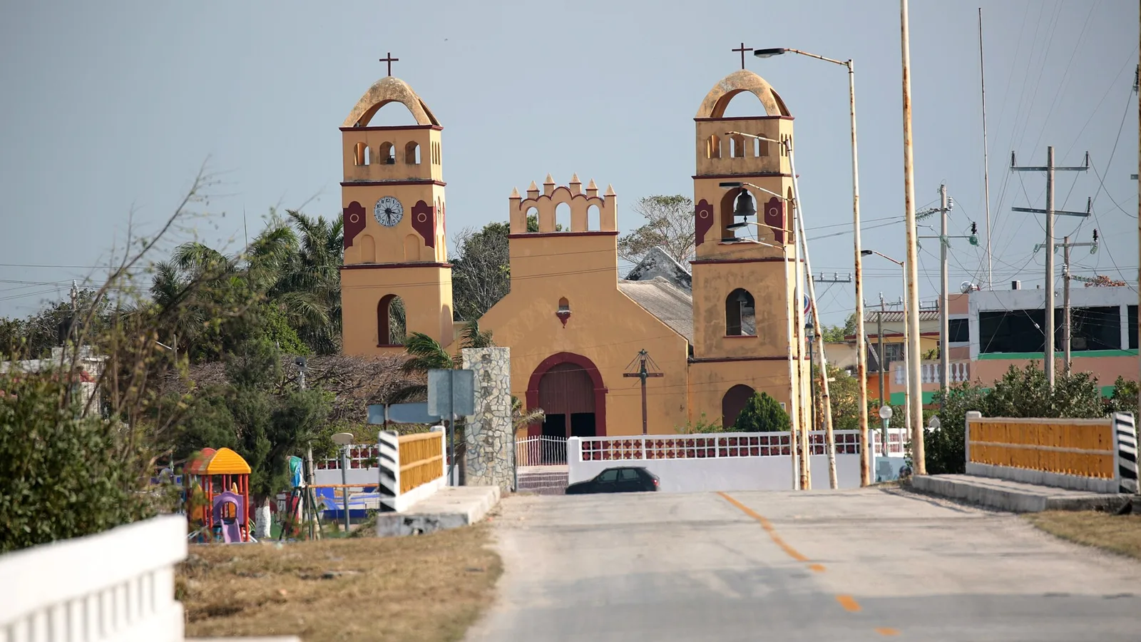
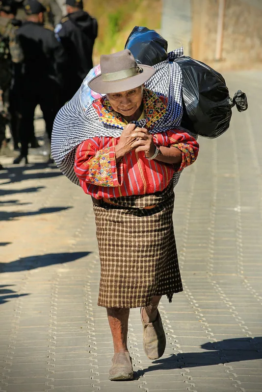
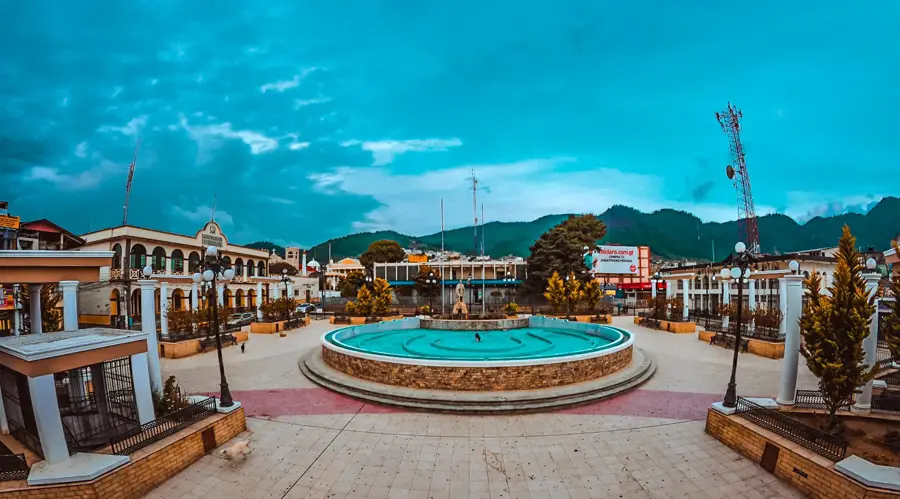
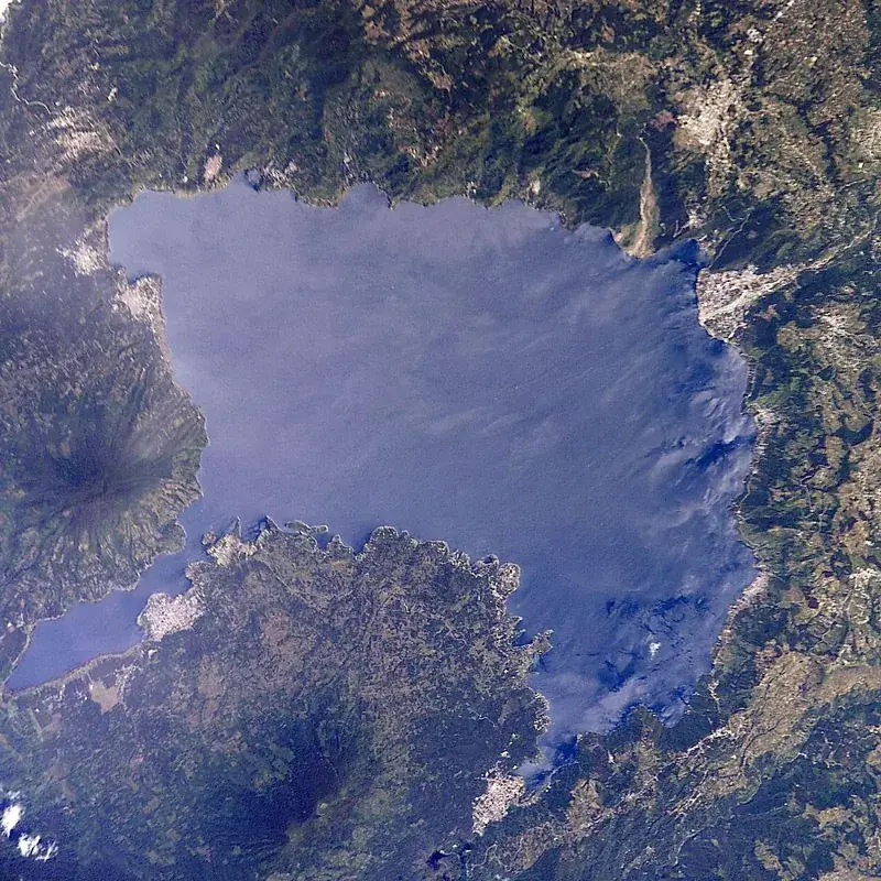
Patulul is an easy on the eye town in the Suchitepéquez Department of southwestern Guatemala, located at the transition between the central highlands and the Pacific coast. Its history dates back to the colonial era, when it was established as an encomienda village under Spanish rule in the 16th century. Geographically, Patulul lies at the foot of the mighty Atitlán Volcano, which provides the region with fertile volcanic soils and a warm, humid climate. These conditions make the town an important center for the production of sugarcane, coffee, and natural rubber. Patulul serves as a strategic connection point on the CA-2 highway and is known for its role in regional trade between the departments of Suchitepéquez and Sololá. Culturally, the town preserves a rich blend of traditions, reflected in the annual festivities in honor of the Immaculate Conception in December. The townscape is characterized by typical Guatemalan architecture, featuring a central plaza and an imposing church. The surroundings also offer impressive natural landscapes, including rivers and forests, that highlight the region's rural charm.
- Location: Guatemala
- Nearby: Nebaj (4 km)
- Population: ~40.683 (2023)
Best time to visit & climate
The most pleasant time to visit is Jan, Feb, Dec.
| Jan | Feb | Mar | Apr | May | Jun | Jul | Aug | Sep | Oct | Nov | Dec | |
|---|---|---|---|---|---|---|---|---|---|---|---|---|
| Avg °C | 21 | 22 | 23 | 24 | 24 | 23 | 23 | 23 | 22 | 22 | 21 | 21 |
| Rain mm | 4 | 6 | 18 | 64 | 231 | 317 | 234 | 292 | 346 | 302 | 61 | 8 |
Geography
Facts
- Patulul is located at an elevation of approximately 350 meters above sea level.
- The municipality was officially recognized as such on August 27, 1836.
- The name Patulul originates from Tzutujil and means 'Hill of Mud'.
- The town is a key supplier for the sugar mills on the South Coast.
- The patronal festival takes place annually on December 8.
- The nearby Madre Vieja River forms a natural boundary for the region.
Explore nearby
Notable places around
Route planner — Car & Motorhome
Where do you start? We build the route here, with stops and country notes along the way.
© OpenStreetMap contributors · OpenRouteService
Sights in the town Patulul (1)
Frequently asked questions
What is Patulul known for?
What can you do in the surroundings?
Is Patulul a good stopover?
What is the weather like there?
Are there local markets?
Patulul: where is it located?
Patulul: when is the best time to visit?
Patulul: why is it worth visiting?

Nearby cities


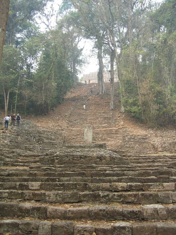
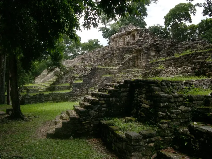
History & landmarks

Nature
More places