Plizio Visual Lab
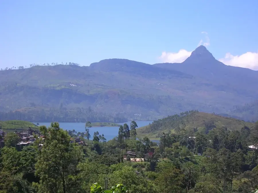
Sierra Madre Mountains

Weather…
Water temperature…
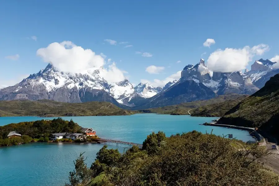
The Sierra Madre de Chiapas is a major mountain range stretching through southern Guatemala, forming part of the North American Cordillera. It runs parallel to the Pacific coast and hosts the highest chain of volcanoes in Central America, including Tajumulco, the region's highest point. Geologically, the range was formed by the subduction of the Cocos Plate beneath the Caribbean Plate, resulting in intense volcanic and seismic activity. The Sierra Madre acts as a continental divide; rivers on the northern side flow into the Gulf of Mexico or the Caribbean Sea, while those on the southern side drain into the Pacific. The mountains are characterized by pine and oak forests, along with coffee plantations at mid-elevations. Culturally, the region is the ancestral settling area of various Maya groups who have used the mountain passes for trade for millennia. Scientific observation stations continuously monitor the activity of active volcanoes such as Fuego and Santiaguito.
- Location: Guatemala
- Nearby: El Paredón (5 km)
Best time to visit & climate
The most pleasant time to visit is Feb–Apr.
| Jan | Feb | Mar | Apr | May | Jun | Jul | Aug | Sep | Oct | Nov | Dec | |
|---|---|---|---|---|---|---|---|---|---|---|---|---|
| Avg °C | 13 | 14 | 16 | 17 | 17 | 16 | 16 | 16 | 16 | 16 | 14 | 14 |
| Rain mm | 6 | 7 | 22 | 63 | 217 | 315 | 226 | 289 | 353 | 291 | 58 | 10 |
📋 Practical info
Geography
Facts
- The range hosts Tajumulco Volcano (4,222 m), the highest in Central America.
- It stretches for approximately 280 kilometers within Guatemala.
- The Sierra Madre forms the drainage divide between the Atlantic and Pacific.
- Volcanic soils of the Sierra Madre are the base for Guatemala's coffee production.
- Multiple active volcanoes like Fuego and Pacaya are located within the range.
- The mountains formed approximately 10 to 20 million years ago during the Miocene.
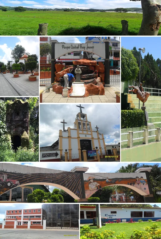
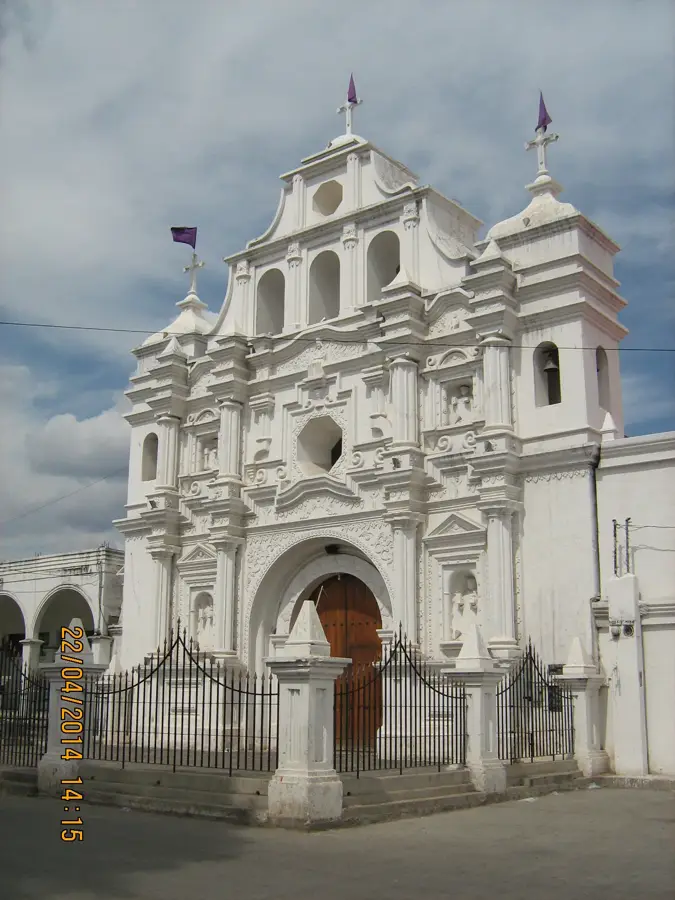
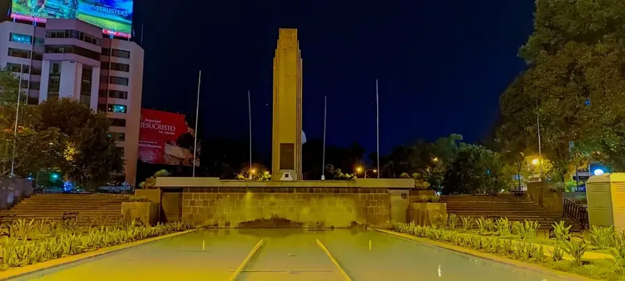
Explore nearby
Notable places around
Route planner — Car & Motorhome
Where do you start? We build the route here, with stops and country notes along the way.
© OpenStreetMap contributors · OpenRouteService
Sights nearby
Frequently asked questions
What is the Sierra Madre mountain range?
Are there active volcanoes there?
How is the climate in the Sierra Madre?
Are there coffee plantations there?
Can you hike the entire range?
Sierra Madre Mountains: where is it located?
Sierra Madre Mountains: when is the best time to visit?
Sierra Madre Mountains: why is it worth visiting?

Nearby cities
History & landmarks
More places