Plizio Visual Lab
Montecristo Cloud Forest
Weather…
Water temperature…
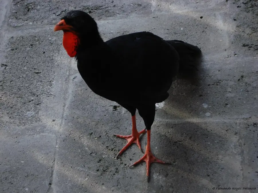
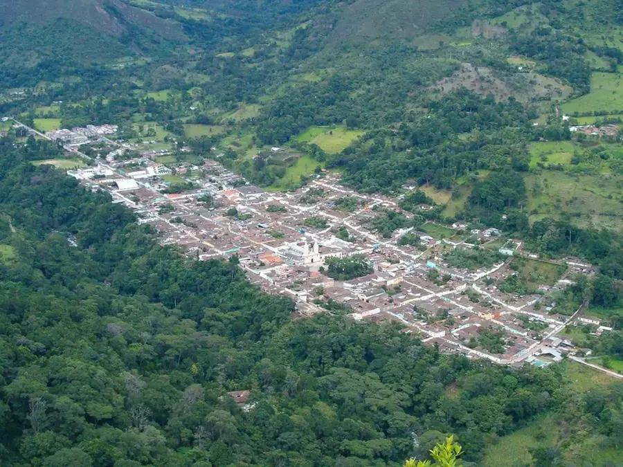
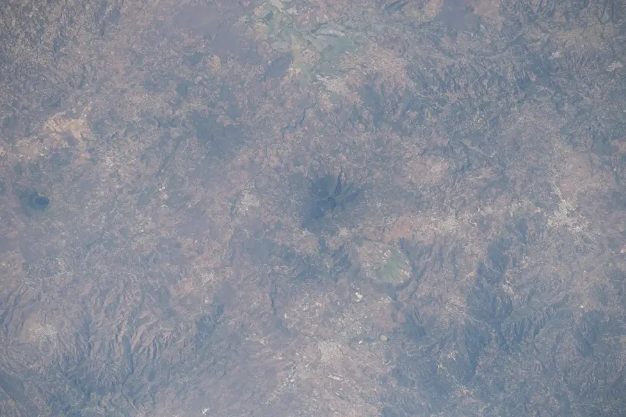
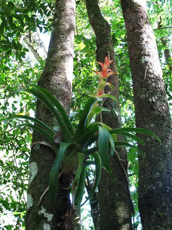
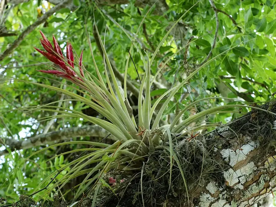
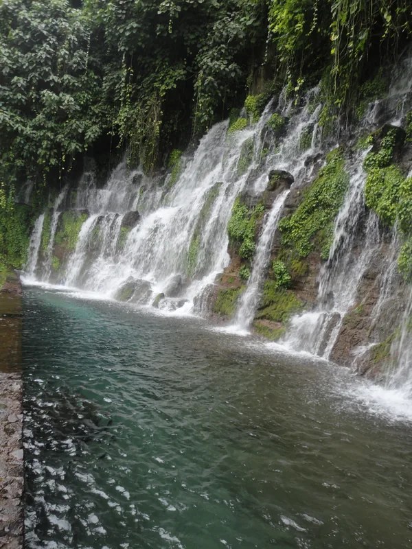
The Montecristo Cloud Forest is a special biological gem in the far northwest of El Salvador, forming the heart of the Montecristo National Park. It is part of the Trifinio Fraternity Biosphere Reserve, a transboundary protected area where El Salvador, Guatemala, and Honduras meet. The park spans altitudes of up to 2,400 meters and hosts extraordinary biodiversity, including giant ferns, thick layers of moss, and a variety of orchid species. Due to constant humidity and cloud formation, a moist microclimate prevails here, providing handy conditions for rare animal species such as the resplendent quetzal, pumas, and spectacled bears. Visitors can hike on marked trails leading to viewpoints like Punto Trifinio, where one can stand on the soil of three nations simultaneously. The preservation of this ecosystem is of crucial importance for the water supply of surrounding communities and the maintenance of biological diversity in Central America. Montecristo remains one of the best-protected natural areas in the country and a model for international ecological cooperation.
- Location: El Salvador
- Nearby: Nueva Concepción (6 km)
Best time to visit & climate
The most pleasant time to visit is Jan, Feb, Dec.
| Jan | Feb | Mar | Apr | May | Jun | Jul | Aug | Sep | Oct | Nov | Dec | |
|---|---|---|---|---|---|---|---|---|---|---|---|---|
| Avg °C | 20 | 22 | 23 | 25 | 25 | 23 | 23 | 23 | 22 | 22 | 20 | 20 |
| Rain mm | 26 | 21 | 20 | 37 | 142 | 198 | 165 | 198 | 224 | 158 | 62 | 33 |
📋 Practical info
Geography
Facts
- The National Park was officially established in 1987.
- The highest peak within the park reaches 2,418 meters.
- Home to trees that can grow up to 30 meters in height.
- The cloud forest covers an area of approximately 20 square kilometers.
- Contains the most diverse population of orchids in El Salvador.
- Primarily accessible through the town of Metapán in Santa Ana.
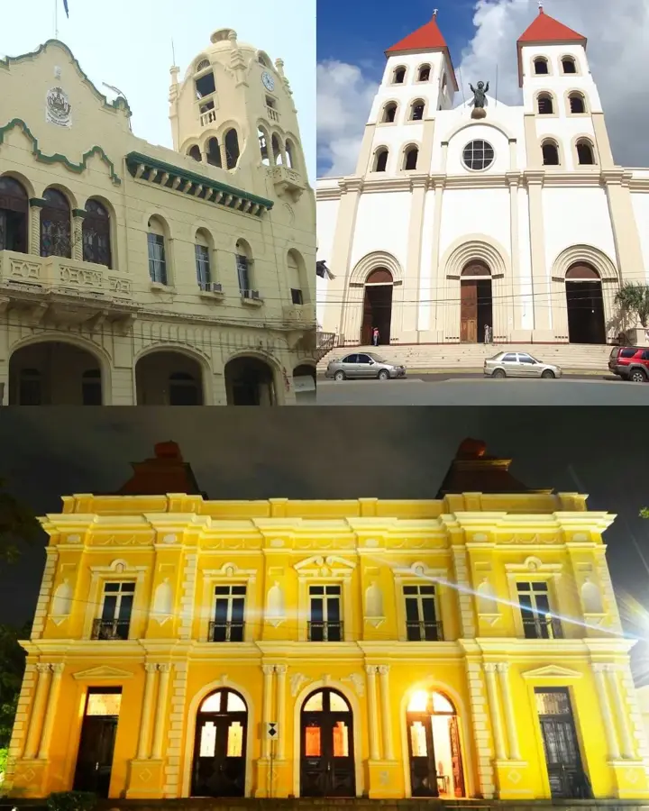
Explore nearby
Notable places around
Route planner — Car & Motorhome
Where do you start? We build the route here, with stops and country notes along the way.
© OpenStreetMap contributors · OpenRouteService
Sights in the town Montecristo Cloud Forest (1)
Sights nearby
Frequently asked questions
Do I need to pre-register for the national park?
Are there accommodations there?
When is the best time for hiking?
Is a guide needed?
What makes this forest special?
Montecristo Cloud Forest: where is it located?
Montecristo Cloud Forest: when is the best time to visit?
Montecristo Cloud Forest: why is it worth visiting?

Nearby cities


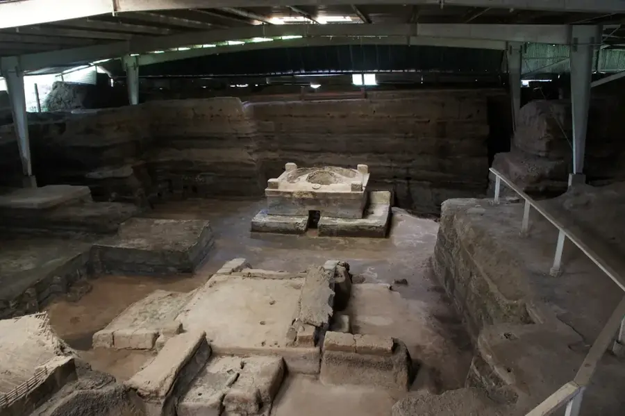
History & landmarks


Nature


More places