Plizio Visual Lab
Tejutla
ℹ️Practical info — Tejutla
▾
🌤 Weather — 5 days
📍 Nearby
Sights nearby
💡 Tips
- Known as the "City of Embers", this colonial town is one of the safest in the region.
- The town is most lively during the Santo Tomás festivities from June 21 to July 3.
- Head to the "portales" (shaded walkways) in the afternoon to escape the midday heat.
- Ask at the local Mayor's office (Alcaldía) if you need a guide for the nearby waterfalls.
🍽 Food
Try the famous local cheese at the municipal market, a regional specialty.
Look for these bean-filled tamales at morning market stalls.
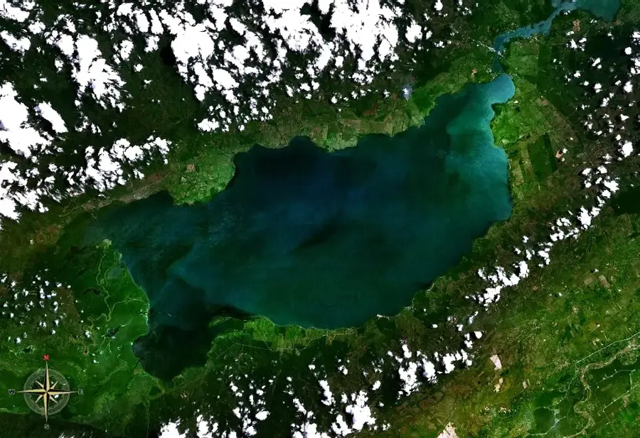
Enjoy fresh fish from Lake Suchitlán at restaurants in the Reubicación area.
🛍 Shopping · 🧘 Quiet spots
The best place for fresh dairy, local fruits, and handmade daily essentials.
Find traditional herbal remedies and natural cosmetics at market stalls.
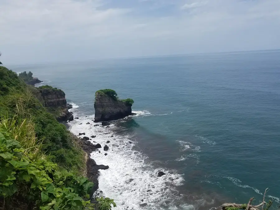
A massive rock formation offering a panoramic 360-degree view of the mountains.
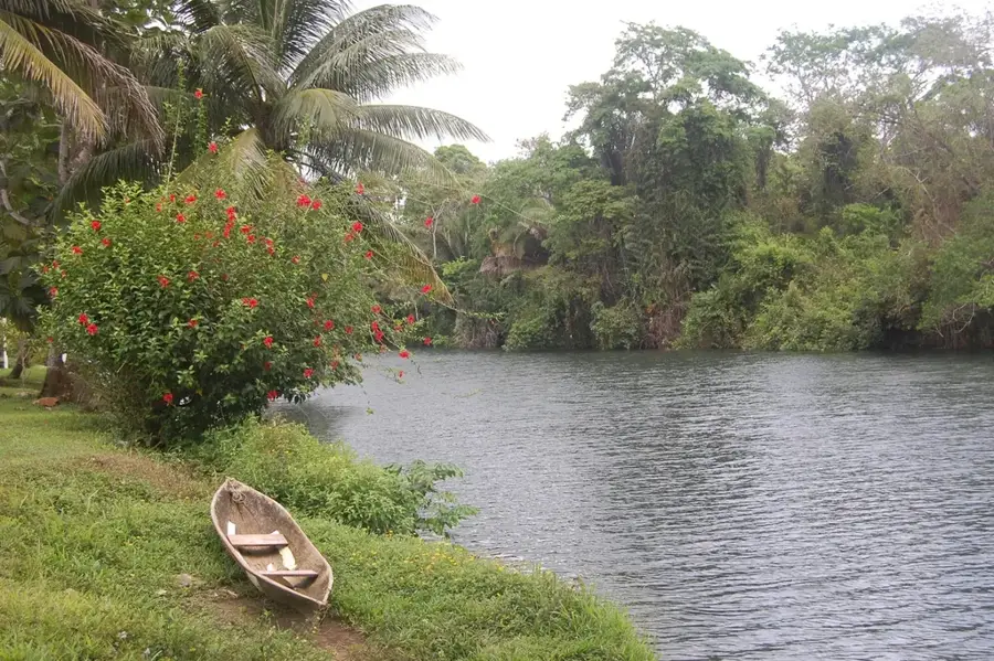
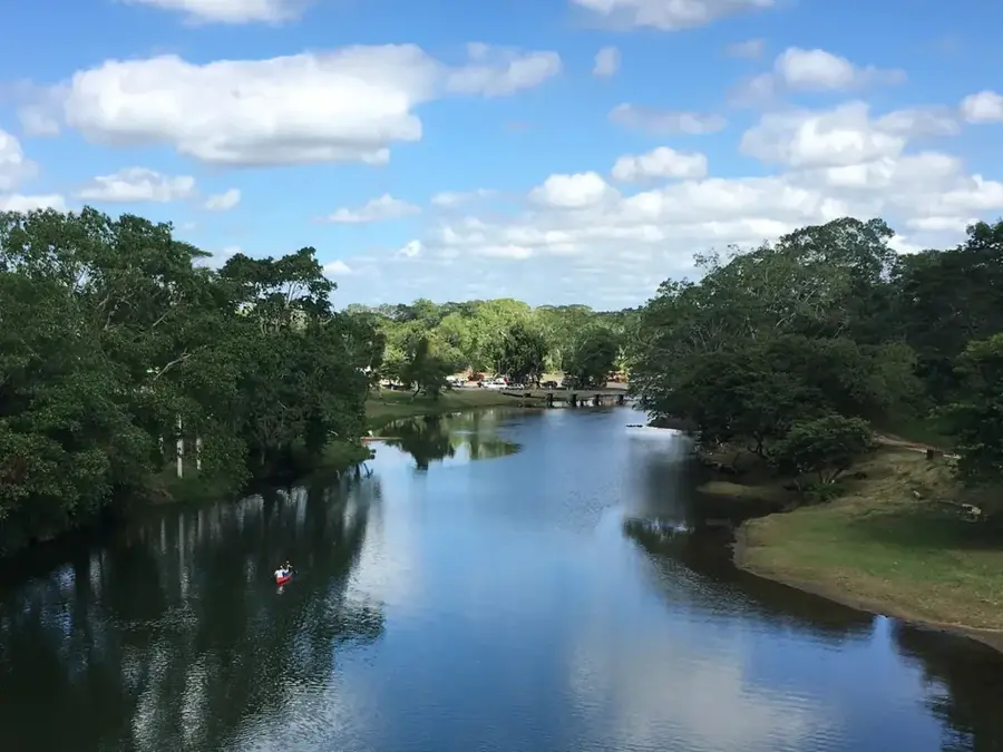
A serene natural pool in the Rio Grande, excellent for a quiet morning swim.
Water temperature…
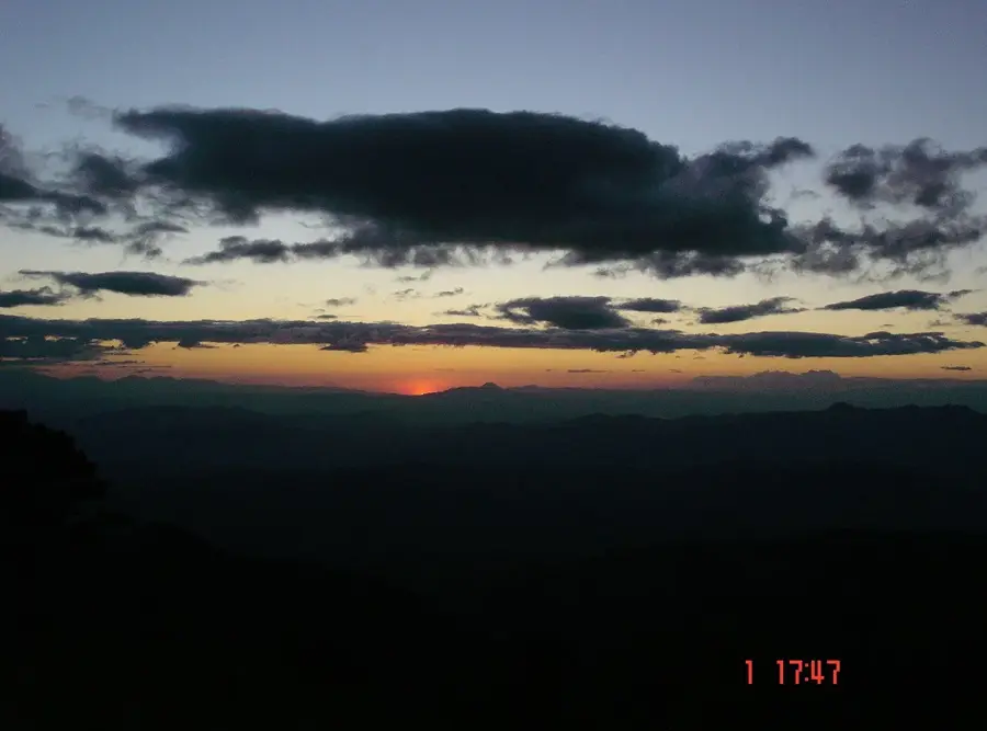
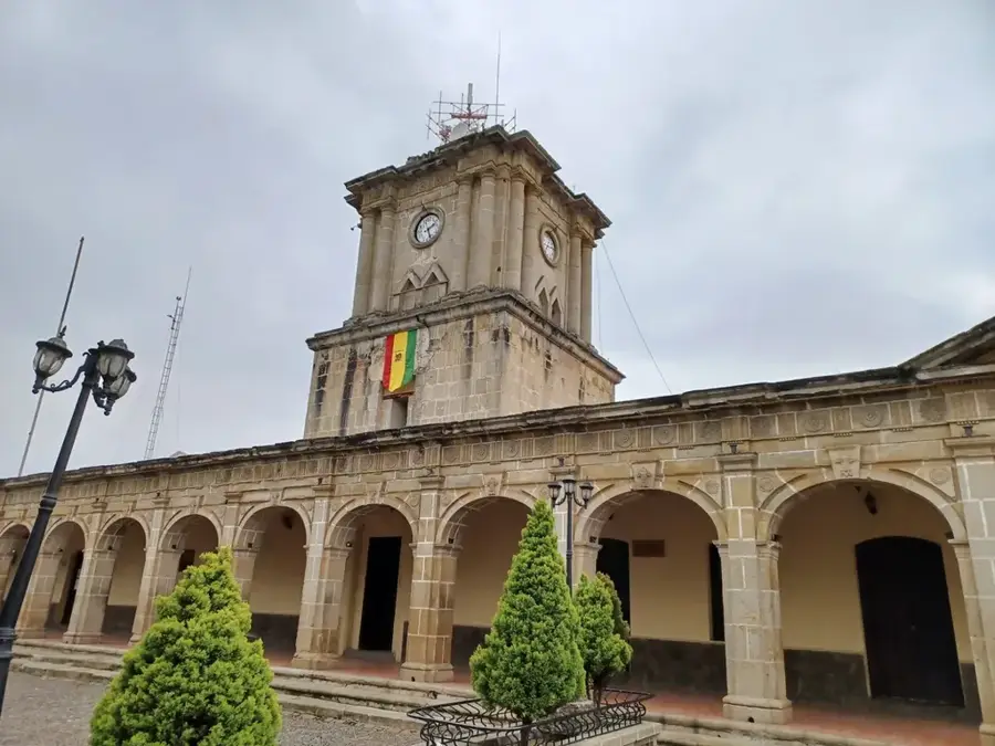
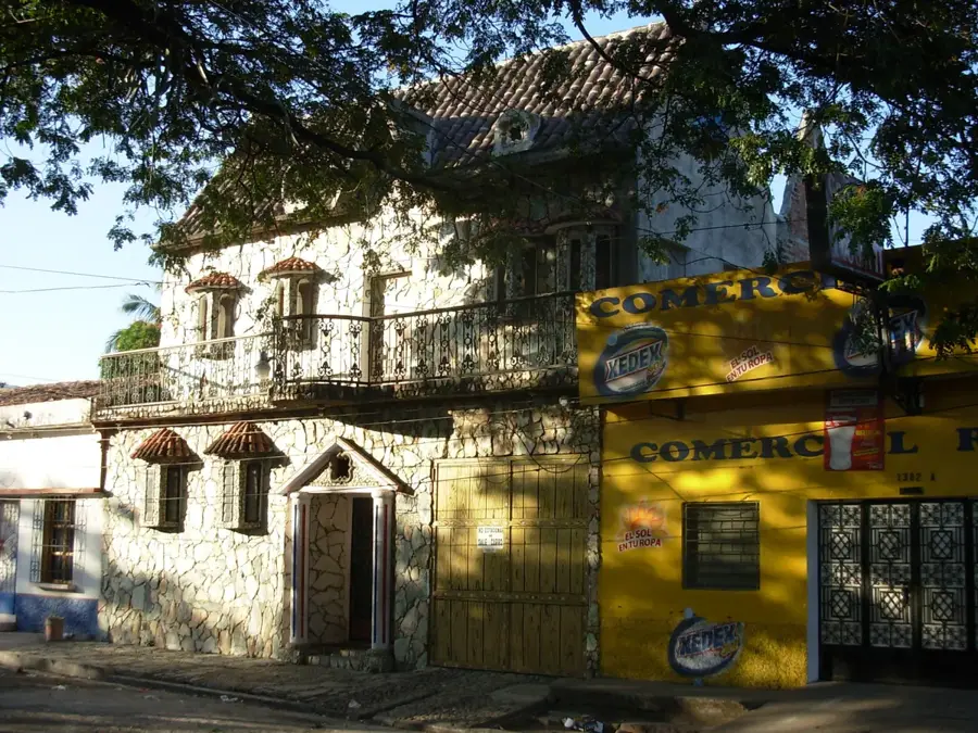
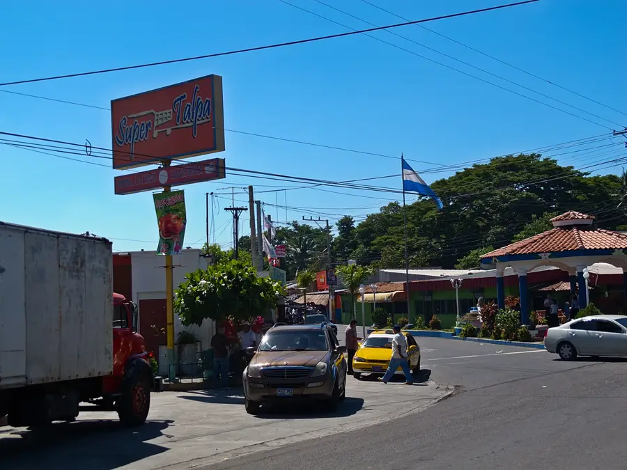
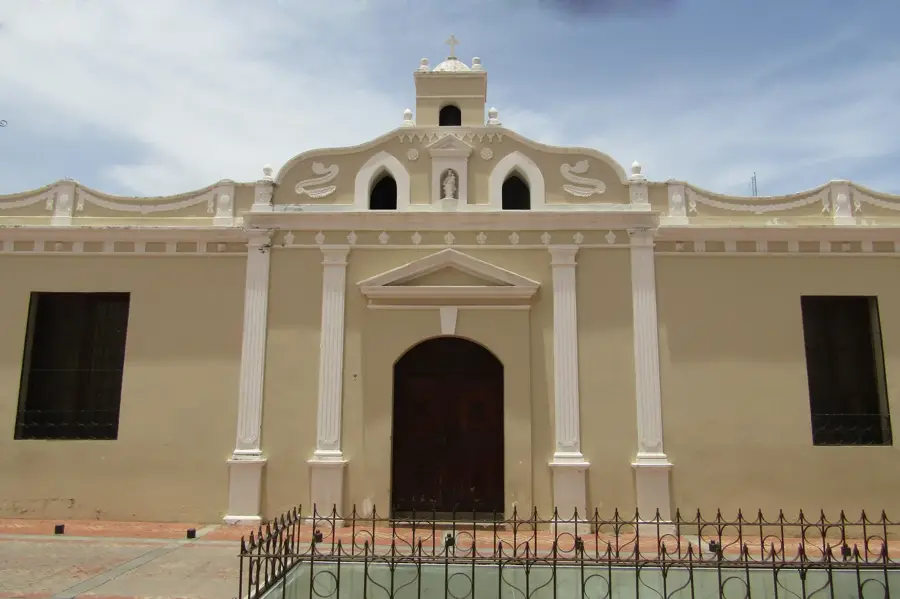
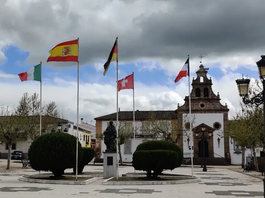
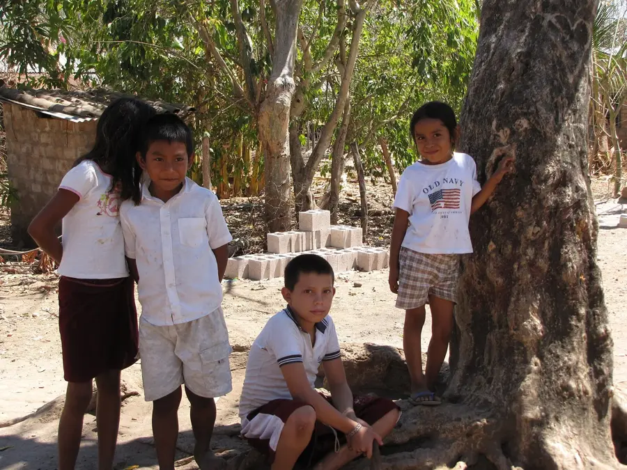
Tejutla is one of the oldest and most historically rich municipalities in the Chalatenango Department, with origins reaching far back into pre-Columbian times. The name in the Nahuat language means place of embers or burning place, possibly referring to volcanic activities in the distant past. During the colonial era, Tejutla was a major administrative and religious center, controlling a vast region in northern El Salvador. The town's architecture reflects this importance, especially the San Juan Bautista church with its impressive facade and massive walls. The economy today is primarily based on cattle ranching and the cultivation of basic grains, with the town serving as a major market for surrounding mountain villages. Geographically, Tejutla is surrounded by an easy on the eye mountain landscape, offering numerous opportunities for hiking and nature exploration. The town jealously guards its traditions, such as the annual celebrations in honor of San Juan Bautista in June, which attract visitors from all over the country.
- Location: El Salvador
- Nearby: Panchimalco (6 km)
Best time to visit & climate
The most pleasant time to visit is Jan, Nov, Dec.
| Jan | Feb | Mar | Apr | May | Jun | Jul | Aug | Sep | Oct | Nov | Dec | |
|---|---|---|---|---|---|---|---|---|---|---|---|---|
| Avg °C | 23 | 25 | 26 | 27 | 26 | 24 | 25 | 24 | 24 | 23 | 22 | 23 |
| Rain mm | 9 | 8 | 9 | 32 | 152 | 186 | 151 | 189 | 218 | 174 | 43 | 18 |
Geography
Facts
- Tejutla is situated at an elevation of approximately 350 meters.
- The town was the seat of a major colonial administration in the 18th century.
- The San Juan Bautista church dates back to the late colonial period.
- Tejutla means place of burning embers in Nahuatl.
- The municipality covers an area of 107.48 square kilometers.
- The town is strategically located on the Troncal del Norte highway.
Explore nearby
Notable places around
Route planner — Car & Motorhome
Where do you start? We build the route here, with stops and country notes along the way.
© OpenStreetMap contributors · OpenRouteService
Frequently asked questions
What makes Tejutla worth visiting?
What is the weather like there?
Is there typical food there?
Is the area safe for tourists?
How much time should I plan for?
Tejutla: where is it located?
Tejutla: when is the best time to visit?
Tejutla: why is it worth visiting?

Nearby cities


History & landmarks


Nature
More places