Plizio Visual Lab
Chingo Volcano
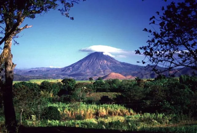
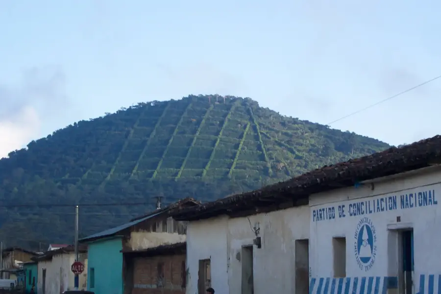
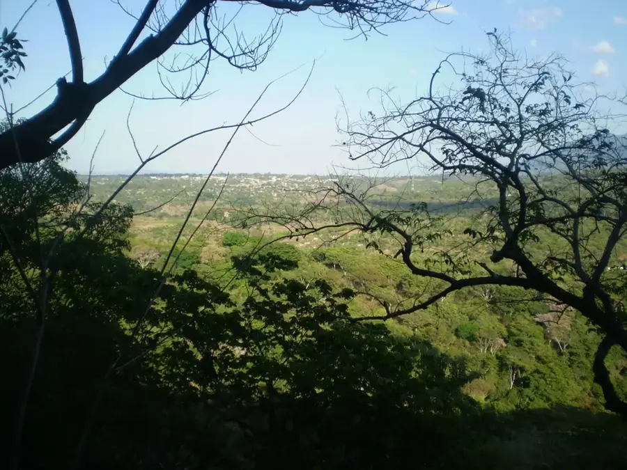
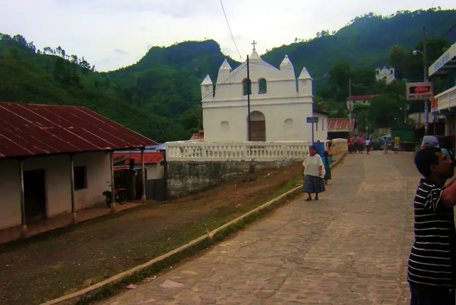
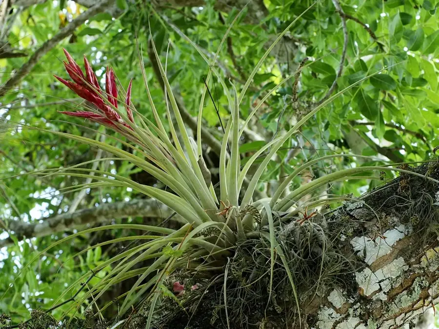
Chingo Volcano is a prominent stratovolcano situated on the border between Guatemala and El Salvador, specifically in the Jutiapa department. Standing at 1,775 meters, it dominates the surrounding landscape and serves as a natural boundary marker between the two nations. The summit provides a vast panoramic view of the Guatemalan highlands and the volcanoes of western El Salvador. Geologically, Chingo is a symmetrical cone with flanks covered in pine and oak forests, as well as agricultural lands. Although there are no records of historical eruptions, its structure classifies it as potentially active. Interestingly, the international border line passes directly across the crater rim, marked by a boundary monument. The ascent is popular among hikers as it is technically straightforward and features glimpses of diverse local flora and fauna. In the lower elevations, intensive coffee cultivation is practiced, providing a key source of income for communities on both sides of the border.
- Location: Guatemala
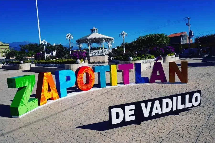
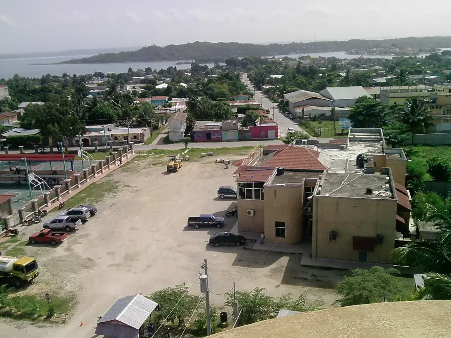
- Nearby: Zapotitlán (10 km)
📋 Practical info
Geography
Facts
- The official elevation of Chingo Volcano is 1,775 meters above sea level.
- The volcano is a bi-national landmark, belonging to both Central American states.
- There are no written records of volcanic activity during modern times.
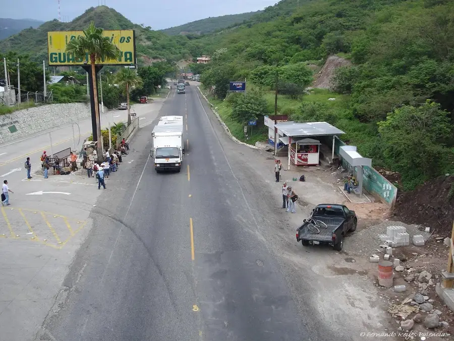
- The Pan-American Highway passes in close proximity to the volcano at the border.
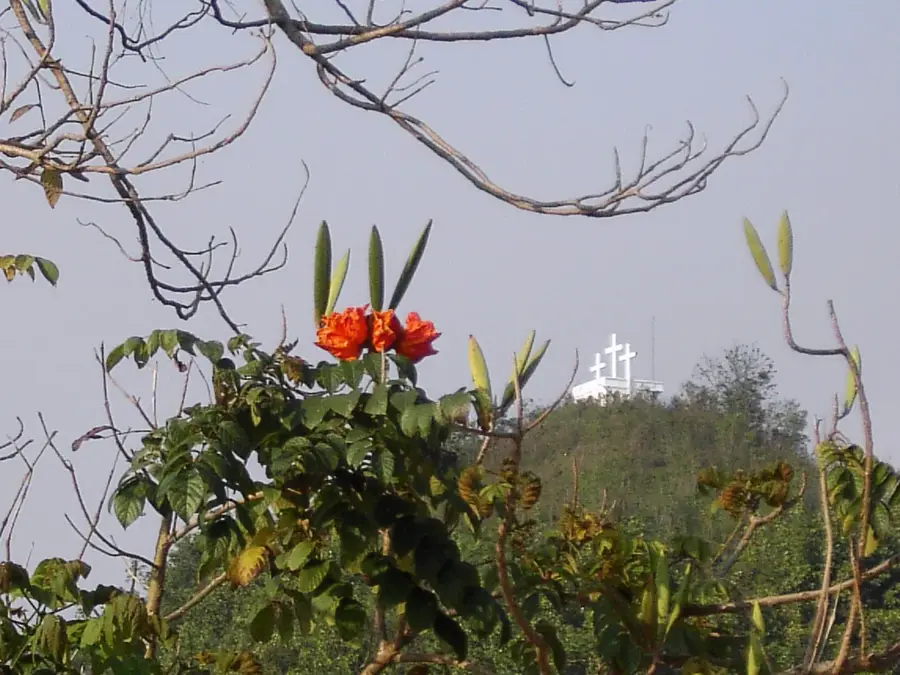
- A small crater is located directly at the summit of the symmetrical cone.
- The vegetation transitions from dry scrubland at the base to montane forest at the top.
Explore nearby
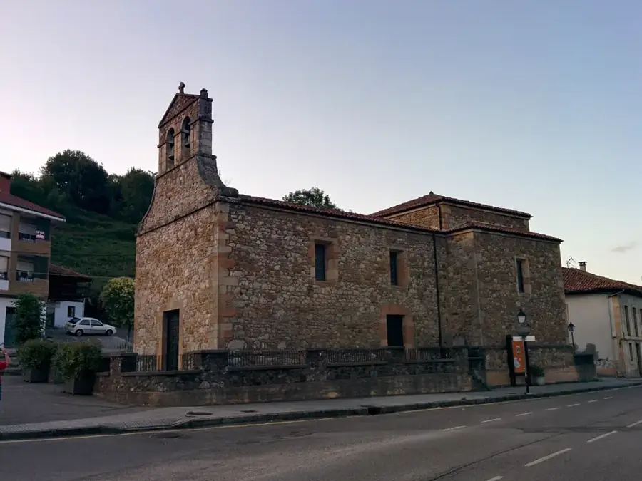
Notable places around
Route planner — Car & Motorhome
Where do you start? We build the route here, with stops and country notes along the way.
© OpenStreetMap contributors · OpenRouteService
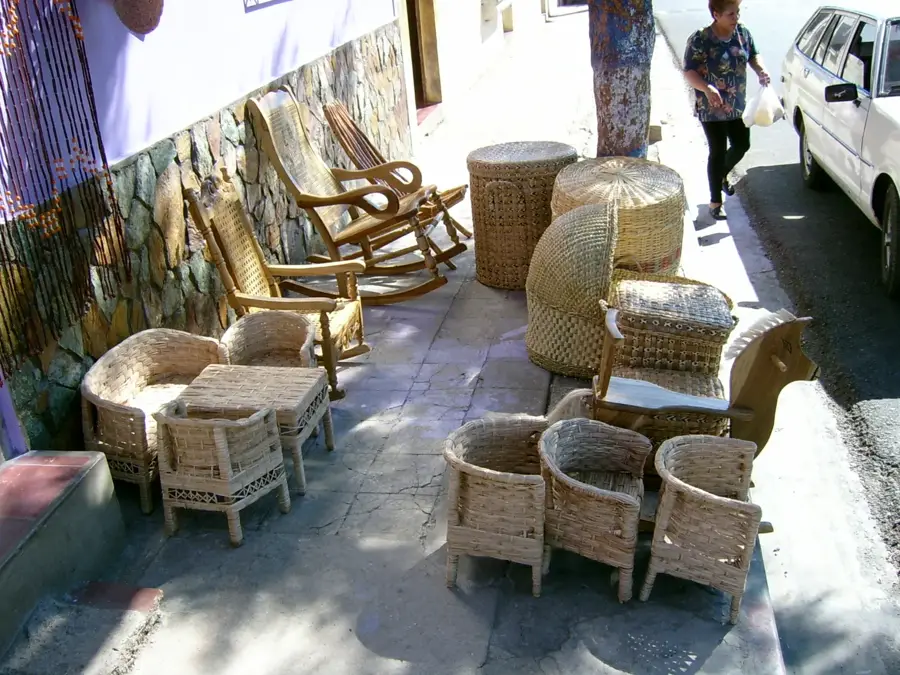
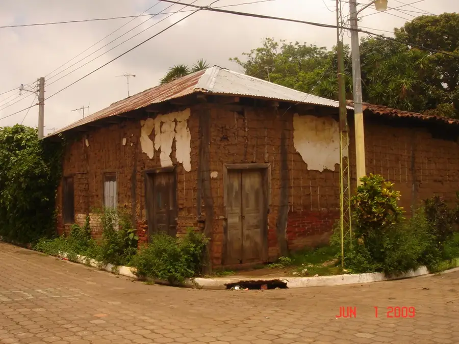
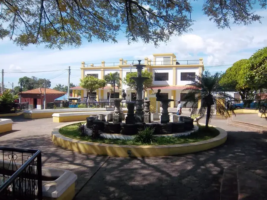
Sights in the town Chingo Volcano (1)
Sights nearby
Frequently asked questions
How long does the hike to the crater take?
Is the climb difficult?
What is the best time of day?
Do you need a guide?
Is the volcano still active?
Chingo Volcano: where is it located?
Chingo Volcano: why is it worth visiting?

Nearby cities
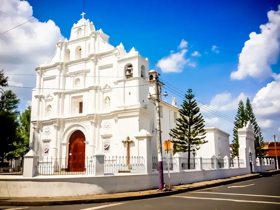
History & landmarks
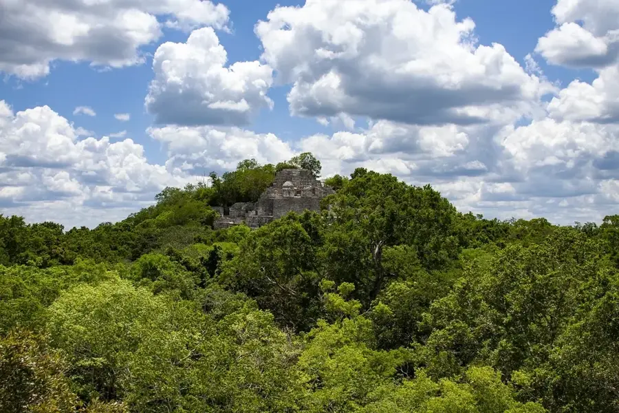
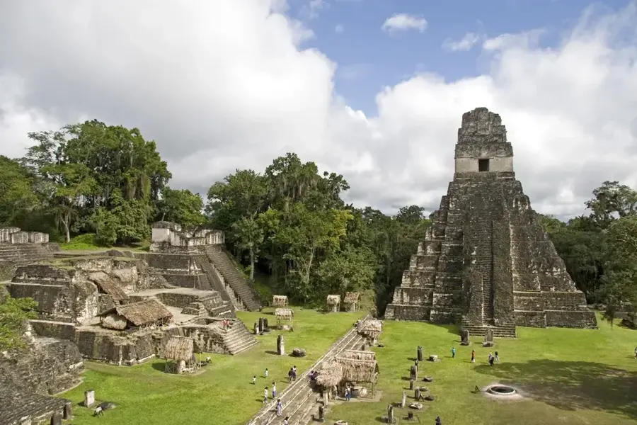
Nature
More places