Plizio Visual Lab
Lake Güija

Weather…
Water temperature…
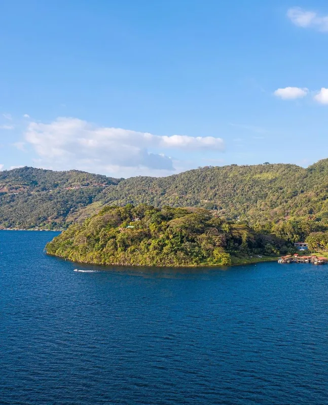
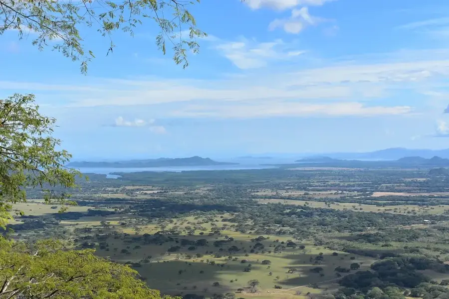
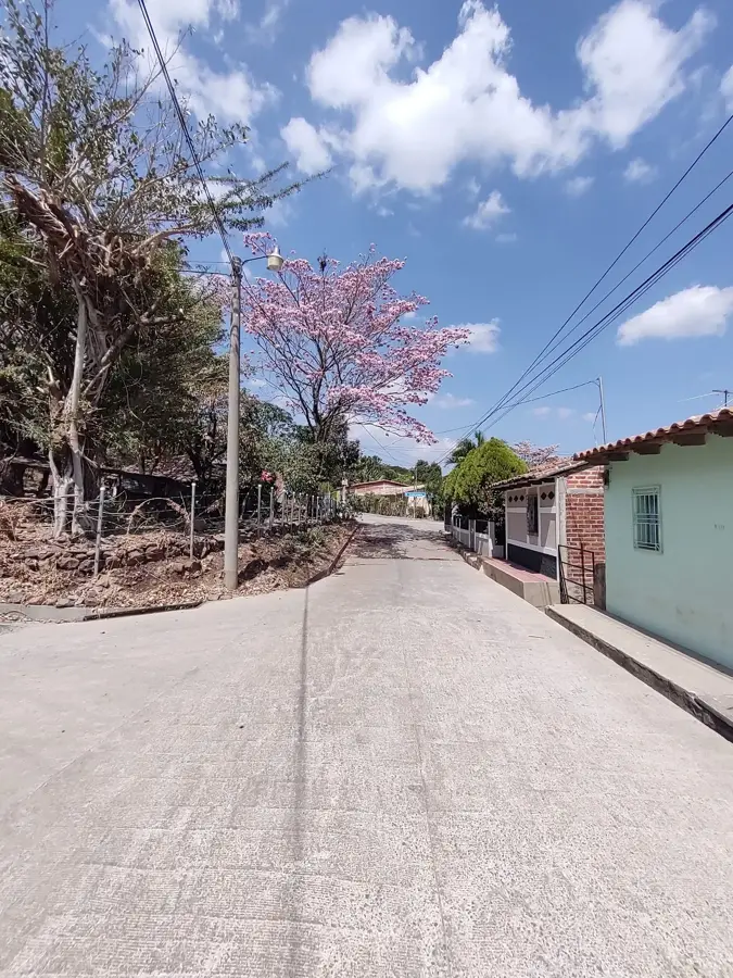
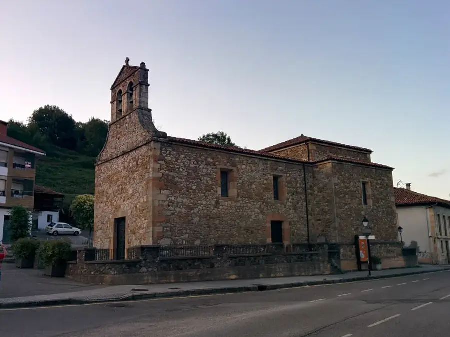
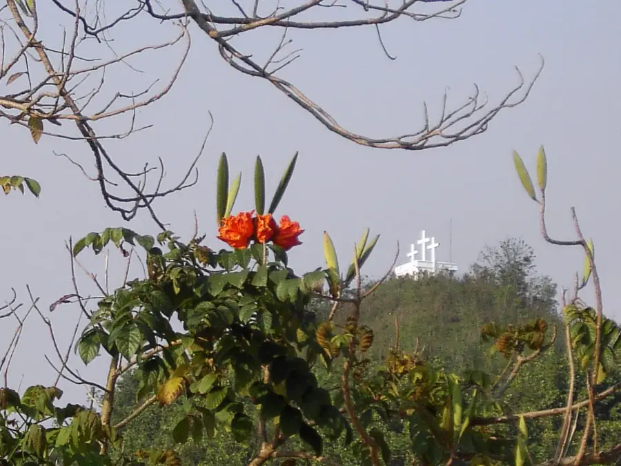
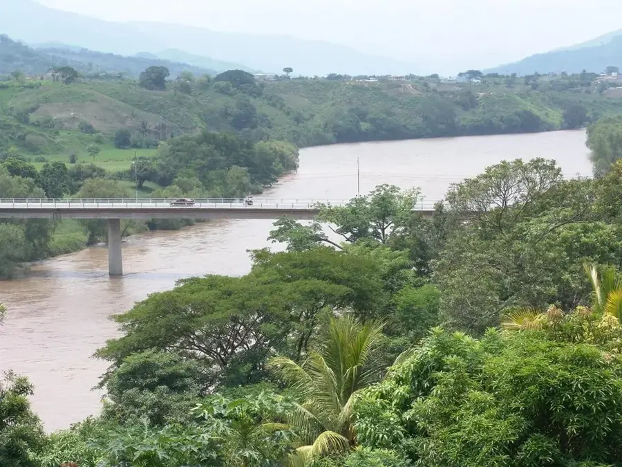
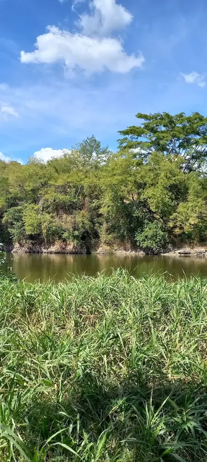
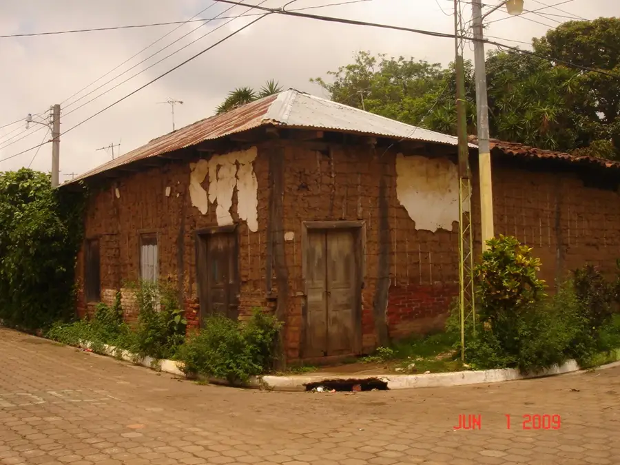
Lake Güija is a large lake of volcanic origin shared between El Salvador and Guatemala, forming a natural border between the two nations. Covering approximately 44 square kilometers, it is situated at an elevation of 430 meters above sea level. The lake was created when prehistoric lava flows from the San Diego volcano obstructed the natural drainage of the Ostúa and Angue rivers. It is framed by a dramatic landscape of volcanic cones and dry tropical forests. Beyond its ecological value, the lake is a site of immense archaeological significance; the peninsula of Igualtepeque contains hundreds of ancient petroglyphs, suggesting it was a major ceremonial center for pre-Columbian cultures. The lake supports a rich variety of aquatic life and serves as a vital wintering ground for migratory waterfowl. The surrounding communities rely on artisanal fishing and seasonal tourism. In recent years, binational environmental groups have worked to address water quality issues arising from industrial and mining runoff from tributary rivers originating in Guatemala.
- Location: El Salvador
- Nearby: San Julián (6 km)
Best time to visit & climate
The most pleasant time to visit is Jan, Feb, Dec.
| Jan | Feb | Mar | Apr | May | Jun | Jul | Aug | Sep | Oct | Nov | Dec | |
|---|---|---|---|---|---|---|---|---|---|---|---|---|
| Avg °C | 20 | 22 | 23 | 25 | 25 | 23 | 23 | 23 | 22 | 22 | 20 | 20 |
| Rain mm | 26 | 21 | 20 | 37 | 142 | 198 | 165 | 198 | 224 | 158 | 62 | 33 |
📋 Practical info
Geography
Facts
- The lake covers a surface area of approximately 44.2 square kilometers.
- Located at an elevation of 430 meters above sea level.
- Formed by lava flows from the nearby San Diego volcano.
- Features over 200 ancient petroglyphs on Igualtepeque Island.
- Part of a transboundary biosphere reserve shared with Guatemala.
- Fed primarily by the Ostúa, Angue, and Cusmapa rivers.
Explore nearby
Notable places around
Route planner — Car & Motorhome
Where do you start? We build the route here, with stops and country notes along the way.
© OpenStreetMap contributors · OpenRouteService
Sights nearby
Frequently asked questions
Is the lake easy to circle?
Are there boat rentals?
Is the water drinkable?
Are there picnic areas?
How is the climate?
Lake Güija: where is it located?
Lake Güija: when is the best time to visit?
Lake Güija: why is it worth visiting?

Nearby cities
History & landmarks
Nature
More places