Plizio Visual Lab
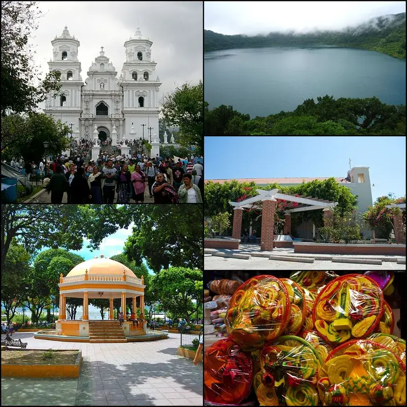
Parque Nacional Montecristo
Weather…
Water temperature…
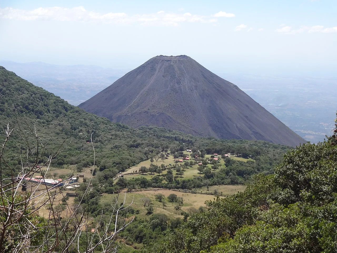
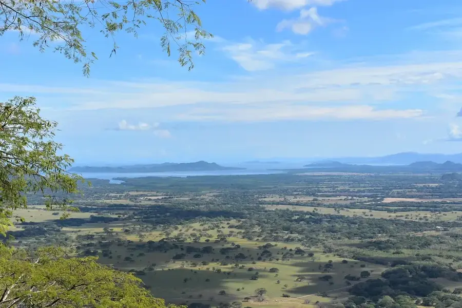
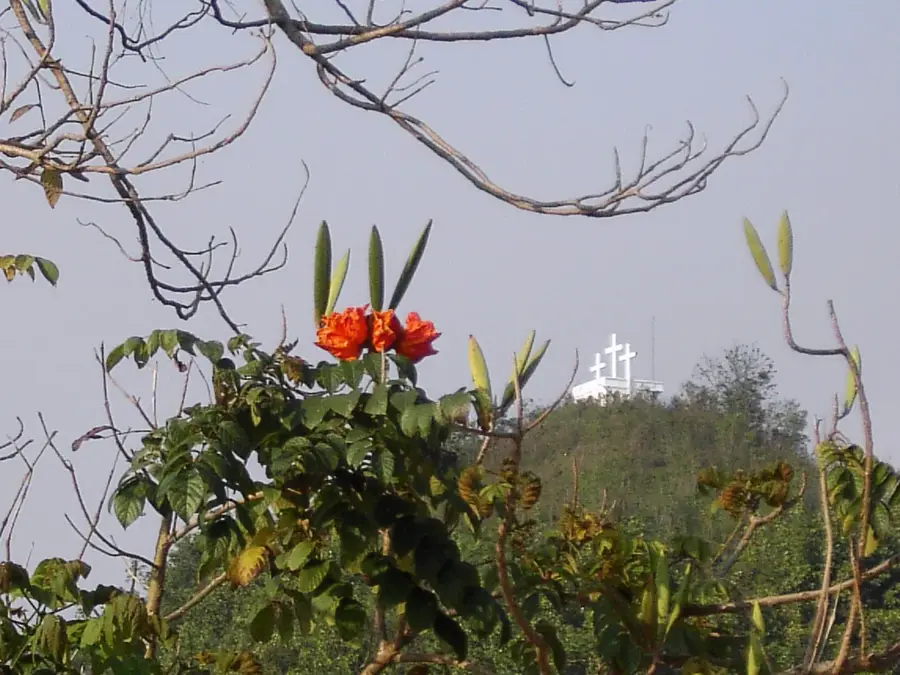
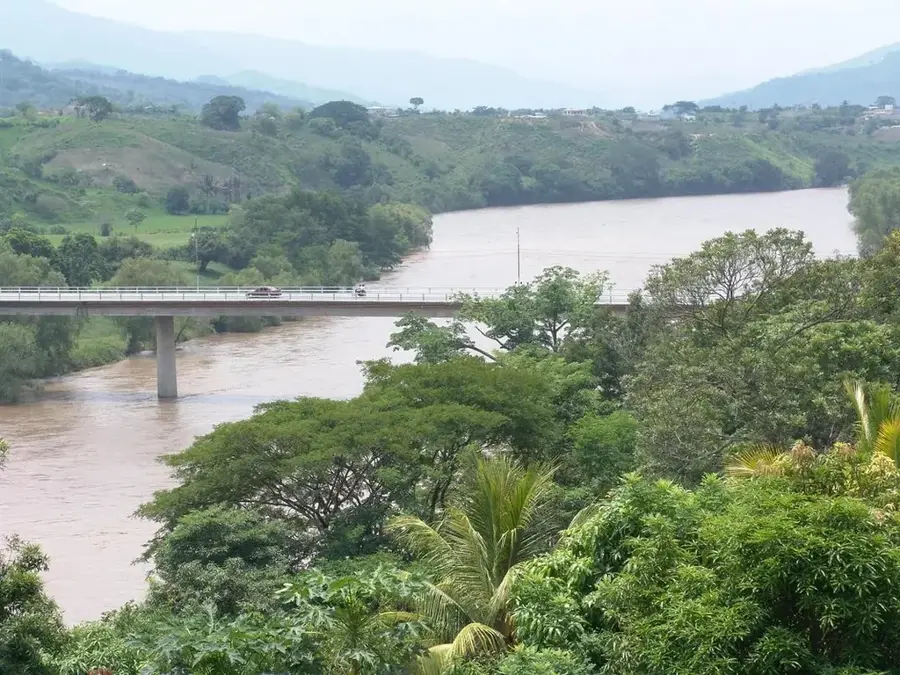
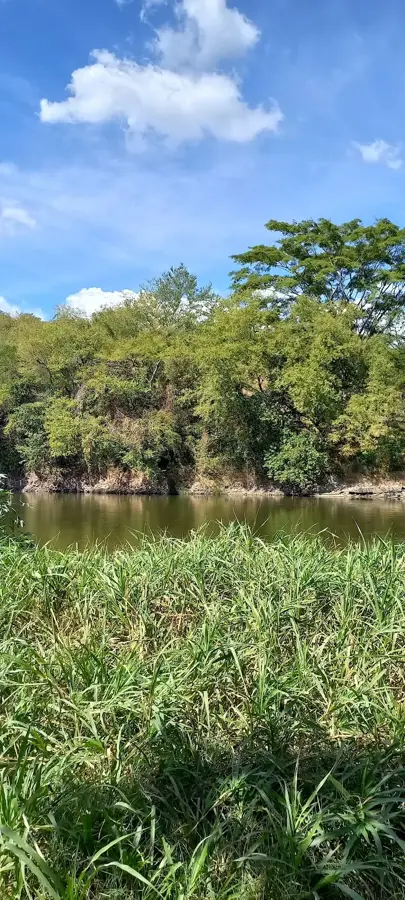
Montecristo National Park, located in northwestern El Salvador, is part of the Trifinio Biosphere Reserve, where the borders of El Salvador, Guatemala, and Honduras meet. It preserves one of the last remaining cloud forests in Central America, an ecosystem of extraordinary rarity and beauty. The park rises to an elevation of 2,418 meters above sea level at its peak, known as "El Punto." Due to high humidity and cool temperatures, the vegetation is lush, featuring giant ferns, orchids, and centuries-old oaks draped in mosses and bromeliads. Wildlife highlights include the rare quetzal bird, pumas, and various endemic amphibians. The park functions as a vital watershed for the region, feeding numerous rivers. Visitors can explore the "Garden of 100 Years," which showcases exotic plant species. Access often requires a prior permit to ensure the conservation of this delicate environment.
- Location: El Salvador
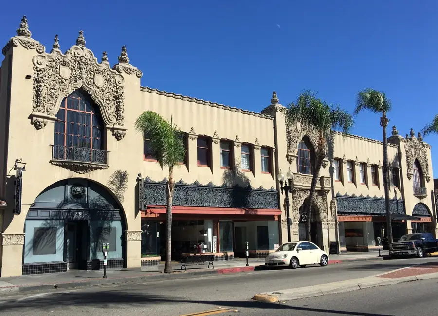
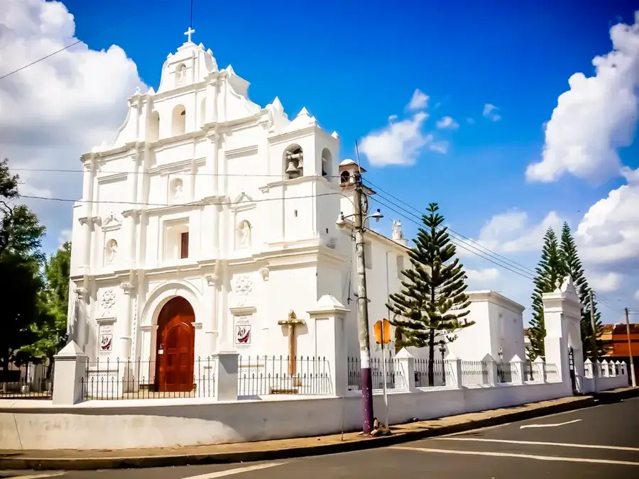
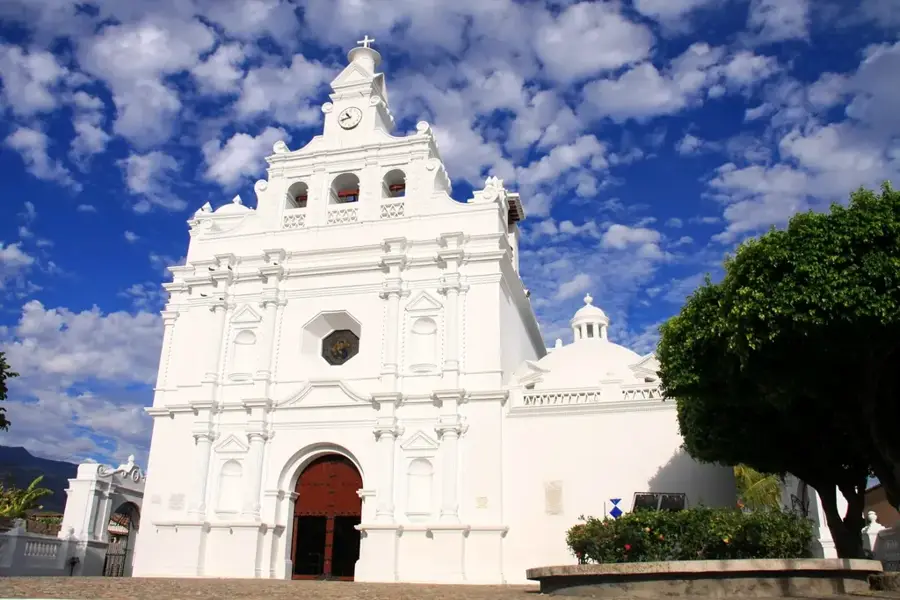
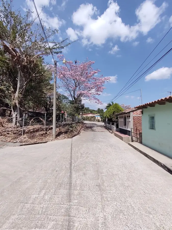
- Nearby: Colón (5 km)
Best time to visit & climate
The most pleasant time to visit is Jan, Feb, Dec.
| Jan | Feb | Mar | Apr | May | Jun | Jul | Aug | Sep | Oct | Nov | Dec | |
|---|---|---|---|---|---|---|---|---|---|---|---|---|
| Avg °C | 20 | 22 | 23 | 25 | 25 | 23 | 23 | 23 | 22 | 22 | 20 | 20 |
| Rain mm | 26 | 21 | 20 | 37 | 142 | 198 | 165 | 198 | 224 | 158 | 62 | 33 |
📋 Practical info
Geography
Facts
- Part of the trans-border Trifinio Biosphere Reserve
- Highest point 'El Punto' reaches 2,418 meters
- One of the last cloud forests in Central America
- Home to the rare and colorful quetzal bird
- Features the 'Garden of 100 Years' botanical area
- Critical watershed area for three different countries
Explore nearby
Notable places around
Route planner — Car & Motorhome
Where do you start? We build the route here, with stops and country notes along the way.
© OpenStreetMap contributors · OpenRouteService
Sights nearby
Frequently asked questions
Do I need a permit for the park?
What is the climate like on the mountain?
Are the trails difficult?
Is there accommodation?
What is the best season?
Parque Nacional Montecristo: where is it located?
Parque Nacional Montecristo: when is the best time to visit?
Parque Nacional Montecristo: why is it worth visiting?

Nearby cities


History & landmarks

Nature
More places