Plizio Visual Lab
San Antonio Pajonal
ℹ️Practical info — San Antonio Pajonal
▾
🌤 Weather — 5 days
📍 Nearby
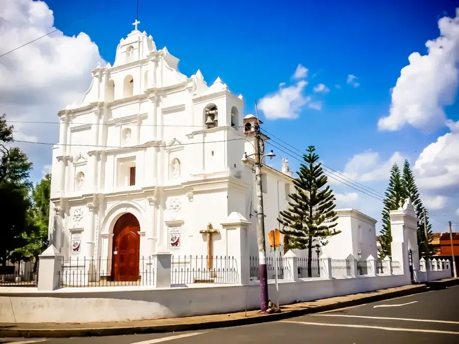
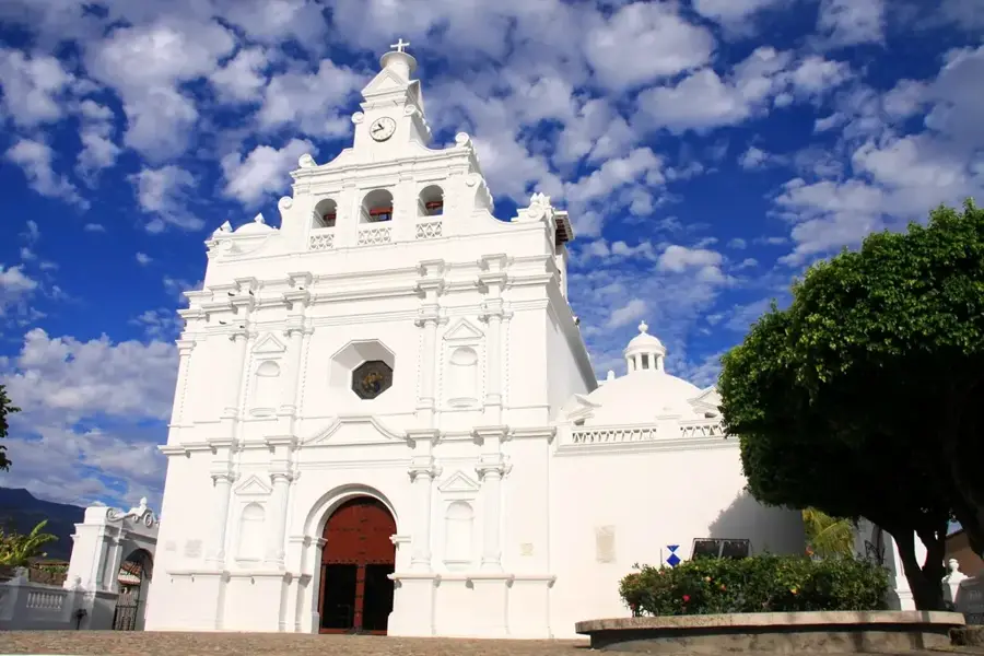
Sights nearby
💡 Tips
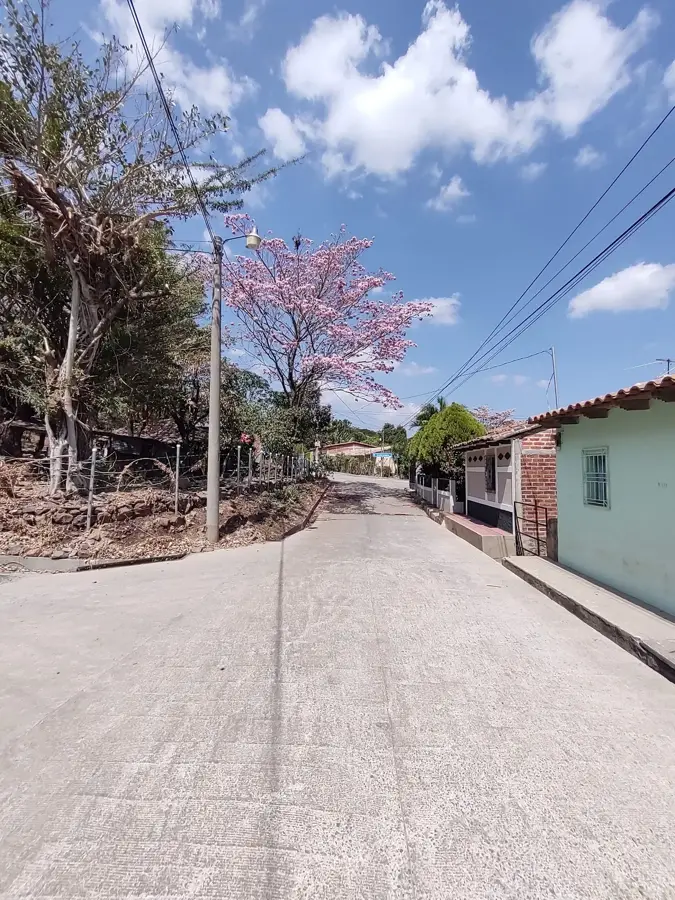
- A quiet border town that gives an authentic "slow-life" experience far from tourist crowds.
- Carry small bills ($1, $5); many local shops cannot provide change for larger denominations.
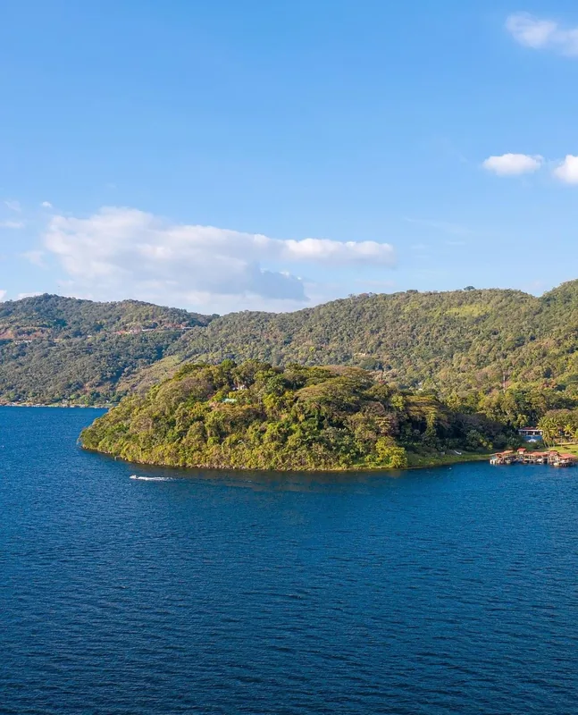
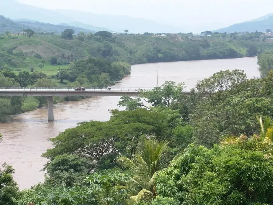
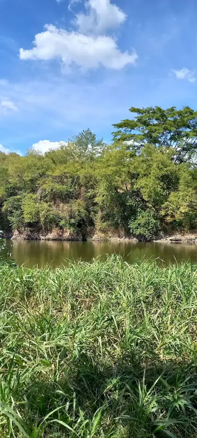
- The town is near Lake Güija, which is shared with Guatemala and provides raw natural beauty.
- Mobile signal can be spotty here, making it an excellent place for a digital detox.
🍽 Food
Try pupusas with this edible flower, a seasonal delicacy in the border region.
Visit 'comedores' near the square for a filling lunch of meat, rice, and handmade tortillas.
Look for fresh fried fish sourced directly from the nearby Lake Güija.
🛍 Shopping · 🧘 Quiet spots
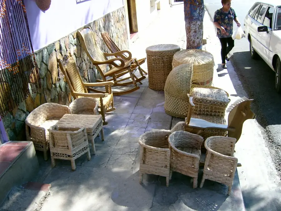
Find unique items influenced by nearby Guatemala at local 'tiendas'.
Occasional simple ceramics made by local families can be found in town.
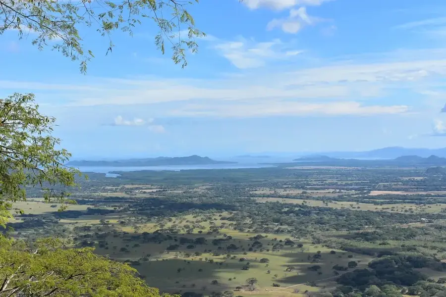
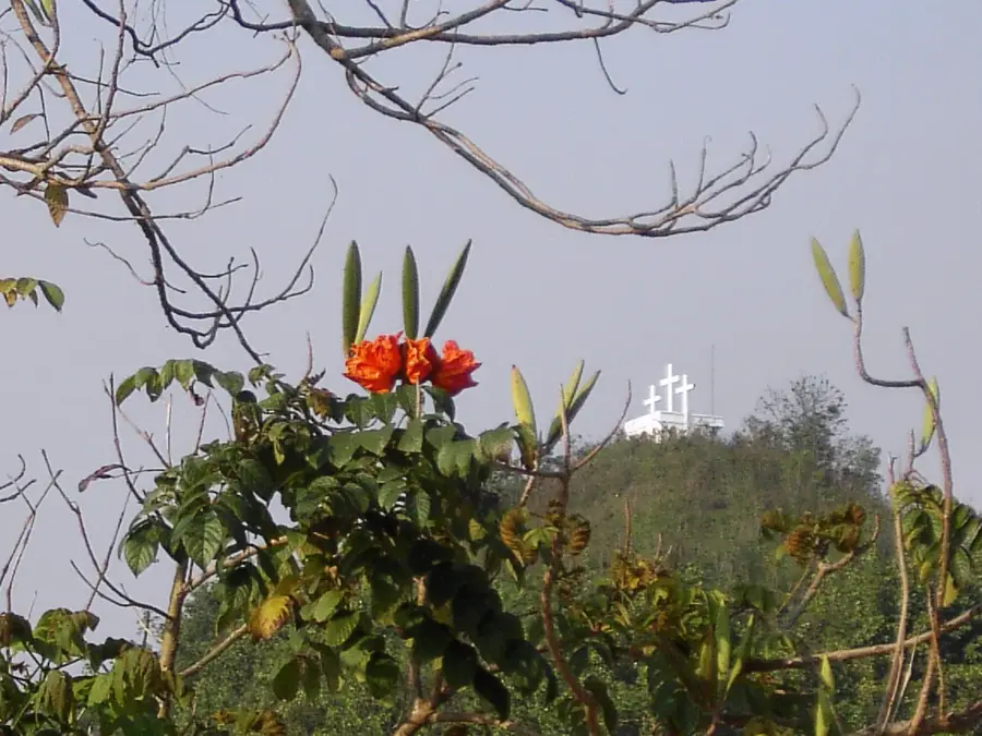
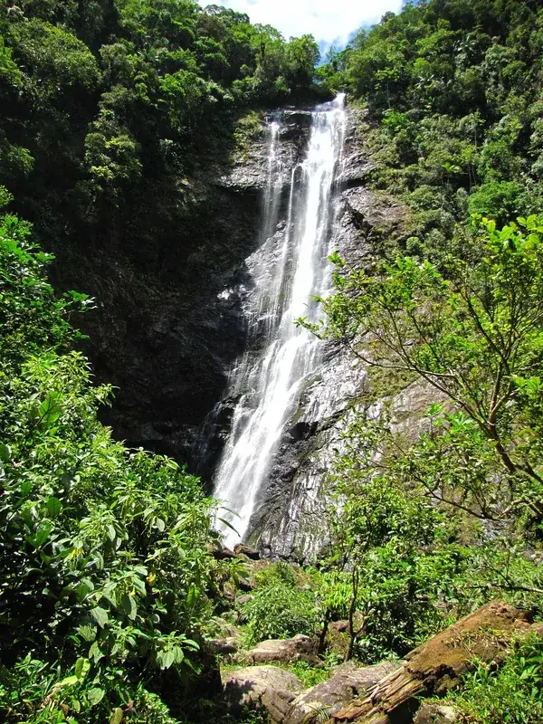
A large, tranquil lake great for birdwatching and enjoying raw natural scenery.
A peaceful park where you can watch the slow pace of life and meet welcoming locals.
Water temperature…
San Antonio Pajonal is a remote and peaceful municipality located in the Santa Ana Department, situated directly on the border between El Salvador and Guatemala. The town was established in the late 19th century, deriving its name from the abundance of pasture grass (pajón) that covered the surrounding hills. Its geographic position along the banks of the Ostúa River grants the region specific importance for cross-border trade and field irrigation. The local economy relies almost entirely on agriculture and livestock farming, with corn, beans, and beef being the primary products. Due to its proximity to the border, San Antonio Pajonal experiences a bustling cultural exchange with neighboring Guatemalan communities, visible in local customs and daily life. The landscape is defined by gentle hills and typical dry forest vegetation that turns intensely green during the rainy season. San Antonio Pajonal is regarded as one of the country's quietest municipalities, where time seems to move slower and the traditional rural way of life remains very much intact.
- Location: El Salvador
- Nearby: Teotepeque (10 km)
Best time to visit & climate
The most pleasant time to visit is Jan, Feb, Dec.
| Jan | Feb | Mar | Apr | May | Jun | Jul | Aug | Sep | Oct | Nov | Dec | |
|---|---|---|---|---|---|---|---|---|---|---|---|---|
| Avg °C | 20 | 22 | 23 | 25 | 25 | 23 | 23 | 23 | 22 | 22 | 20 | 20 |
| Rain mm | 26 | 21 | 20 | 37 | 142 | 198 | 165 | 198 | 224 | 158 | 62 | 33 |
Geography
Facts
- Border town with Guatemala in the far west of Santa Ana.
- Named after the 'Pajón' grass that once covered the hills.
- Located on the Ostúa River, which forms the natural border.
- Officially established as a municipality in 1945.
- Main economic activity is basic grain production and livestock.
- Features a hot and dry climate typical of the lowland regions.
Explore nearby
Notable places around
Route planner — Car & Motorhome
Where do you start? We build the route here, with stops and country notes along the way.
© OpenStreetMap contributors · OpenRouteService
Sights in the town San Antonio Pajonal (1)
Frequently asked questions
How many days should I plan for San Antonio Pajonal?
What is the best time to visit San Antonio Pajonal?
What is the best way to get to San Antonio Pajonal?
Are there any local specialties in San Antonio Pajonal?
Is San Antonio Pajonal a family-friendly destination?
San Antonio Pajonal: where is it located?
San Antonio Pajonal: when is the best time to visit?
San Antonio Pajonal: why is it worth visiting?

Nearby cities

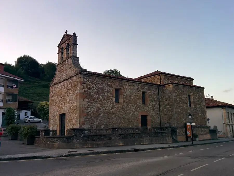

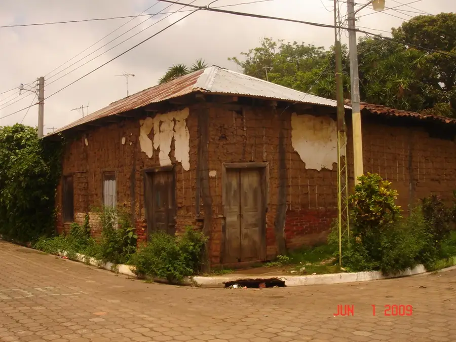
History & landmarks

Nature
More places