Plizio Visual Lab
Cerro El Mico

Weather…
Water temperature…
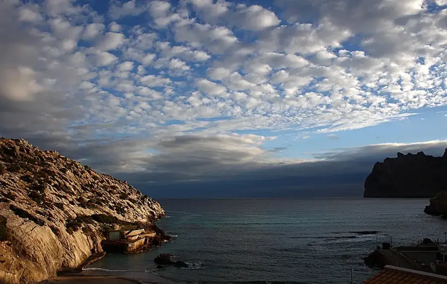
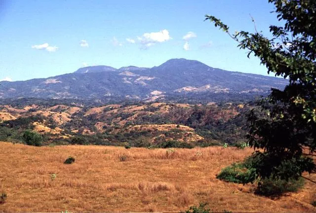
Cerro El Mico is a prominent elevation in northern El Salvador, located in the Chalatenango Department near the border with Honduras. It is part of the Sierra Madre de Chiapas, a mountain range that stretches across vast parts of Central America. Rising to an altitude of approximately 1,900 meters, it is situated in one of the country's cooler regions and is frequently shrouded in fog. The name 'El Mico' refers to the native spider monkeys that inhabit the mountain's dense forests. The vegetation consists primarily of pine-oak forests and remnants of mountain cloud forests, which host high levels of biodiversity. Geologically, the mountain is composed of ancient metamorphic rock and volcanic deposits from the Tertiary period. The region is sparsely populated and serves as a vital watershed for the Lempa River. Historically, the area was a place of refuge during the civil war and is now a destination for adventure seekers and birdwatchers. Protecting these untouched forest areas is critical for preserving local springs and wildlife.
- Location: El Salvador
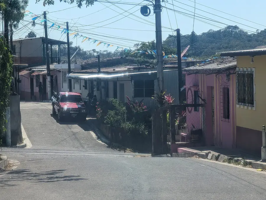
- Nearby: Tecoluca (7 km)
Best time to visit & climate
The most pleasant time to visit is Jan, Nov, Dec.
| Jan | Feb | Mar | Apr | May | Jun | Jul | Aug | Sep | Oct | Nov | Dec | |
|---|---|---|---|---|---|---|---|---|---|---|---|---|
| Avg °C | 27 | 28 | 29 | 29 | 28 | 27 | 28 | 27 | 26 | 26 | 26 | 26 |
| Rain mm | 3 | 4 | 6 | 32 | 169 | 193 | 155 | 198 | 234 | 204 | 41 | 10 |
📋 Practical info
Geography
Facts
- The elevation of Cerro El Mico is approximately 1,900 meters.
- It is part of the Sierra Madre de Chiapas mountain range.
- The peak is located in the northern Chalatenango Department.
- Its name translates to 'Monkey Hill' in local Spanish.
- Pine and oak forests are the dominant vegetation types.
- The mountain serves as a natural border with Honduras.
Explore nearby
Notable places around
Route planner — Car & Motorhome
Where do you start? We build the route here, with stops and country notes along the way.
© OpenStreetMap contributors · OpenRouteService
Sights nearby
Frequently asked questions
What is special about Cerro El Mico?
How to get to the starting point?
Is the trail marked?
Are there shelters?
What is the difficulty level?
Cerro El Mico: where is it located?
Cerro El Mico: when is the best time to visit?
Cerro El Mico: why is it worth visiting?

Nearby cities


History & landmarks


Nature


More places