Plizio Visual Lab
San Vicente Volcano
Weather…
Water temperature…
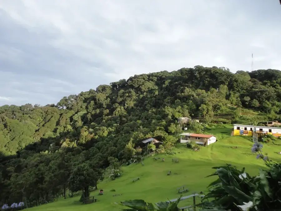
San Vicente Volcano, also known as Chichontepec, is the second-highest volcano in El Salvador, standing at 2,182 meters in the central part of the country. It is characterized by its prominent twin peaks, which earned it the name 'Mountain of the Two Breasts' in the indigenous language. Geologically, it is a stratovolcano rising above the departments of San Vicente and La Paz, dominating the fertile Jiboa Valley. Although no major eruptions have been documented in historical times, thermal springs and fumaroles on its northern flank testify to ongoing hydrothermal activity. The volcano's slopes are covered with dense forests and agricultural lands, where coffee and sugarcane are primarily grown. Due to its height and isolated location, San Vicente is a major landmark and provides challenging hiking trails for mountaineers.
- Location: El Salvador
- Nearby: Costa del Sol (8 km)
Best time to visit & climate
The most pleasant time to visit is Jan, Nov, Dec.
| Jan | Feb | Mar | Apr | May | Jun | Jul | Aug | Sep | Oct | Nov | Dec | |
|---|---|---|---|---|---|---|---|---|---|---|---|---|
| Avg °C | 27 | 28 | 29 | 29 | 28 | 27 | 28 | 27 | 26 | 26 | 26 | 26 |
| Rain mm | 3 | 4 | 6 | 32 | 169 | 193 | 155 | 198 | 234 | 204 | 41 | 10 |
📋 Practical info
Geography
Facts
- The official altitude of the volcano is 2,182 meters above sea level.
- The indigenous name 'Chichontepec' originates from the Nahuatl language.
- It features two craters located on its two main peaks.
- On the northern side, there are hot springs known as 'Los Infiernillos'.
- The volcano is a significant part of the central volcanic arc of El Salvador.
- In 2009, heavy rains caused devastating mudslides on its flanks.
Explore nearby
Notable places around
Route planner — Car & Motorhome
Where do you start? We build the route here, with stops and country notes along the way.
© OpenStreetMap contributors · OpenRouteService
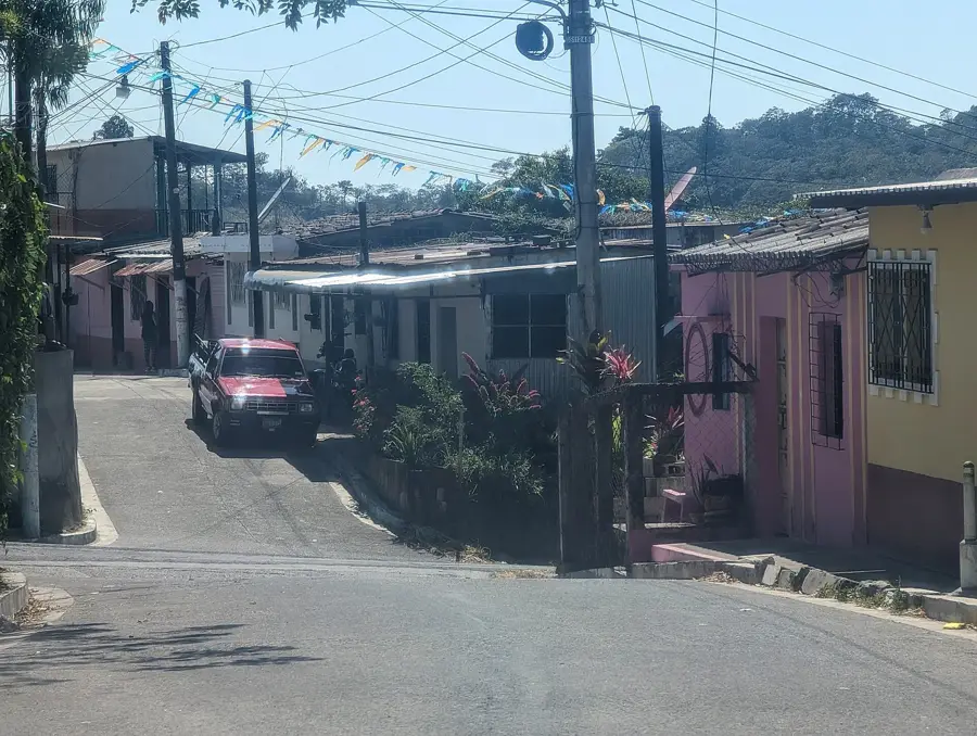
Sights in the town San Vicente Volcano (1)
Sights nearby
Frequently asked questions
How long does the ascent take?
Is a guide required?
Are there accommodation options?
Is the volcano currently active?
What is the best season?
San Vicente Volcano: where is it located?
San Vicente Volcano: when is the best time to visit?
San Vicente Volcano: why is it worth visiting?

Nearby cities


History & landmarks


Nature


More places