Plizio Visual Lab
Cuscatlán Bridge
Weather…
Water temperature…
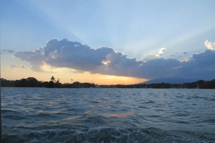
The Cuscatlán Bridge spans the Lempa River, connecting the departments of Usulután and San Vicente. The original bridge, an elegant suspension structure, was inaugurated in 1952 and was considered an engineering masterpiece in Central America. However, during the Salvadoran Civil War, it was blown up by guerrilla units on January 1, 1984, to weaken the country's economic infrastructure. The current bridge is a modern replacement that secures the vital Pan-American highway route. It plays a crucial role in transporting agricultural products and facilitating trade between the eastern and central parts of the country. The view from the bridge over the wide Lempa River is impressive and showcases the region's natural beauty. Historically, the site serves as a memorial to war-time destruction and subsequent reconstruction. For travelers, crossing the bridge is a key milestone on the journey toward eastern cities like San Miguel.
- Location: El Salvador
- Nearby: San Sebastián (9 km)
Best time to visit & climate
The most pleasant time to visit is Jan, Nov, Dec.
| Jan | Feb | Mar | Apr | May | Jun | Jul | Aug | Sep | Oct | Nov | Dec | |
|---|---|---|---|---|---|---|---|---|---|---|---|---|
| Avg °C | 27 | 28 | 29 | 29 | 28 | 27 | 28 | 27 | 26 | 26 | 26 | 26 |
| Rain mm | 3 | 4 | 6 | 32 | 169 | 193 | 155 | 198 | 234 | 204 | 41 | 10 |
📋 Practical info
Geography
Facts
- The original suspension bridge was destroyed by explosives on January 1, 1984.
- The Lempa River, which it crosses, is the longest river in El Salvador.
- The bridge is a vital segment of the Pan-American Highway, the country's main road.
- Before the replacement was built, vehicles had to cross the river on makeshift ferries.
- The destruction of the bridge was one of the most significant infrastructure losses of the war.
- The current structure is built from steel and reinforced concrete for maximum durability.
Explore nearby
Notable places around
Route planner — Car & Motorhome
Where do you start? We build the route here, with stops and country notes along the way.
© OpenStreetMap contributors · OpenRouteService
Sights in the town Cuscatlán Bridge (1)
Sights nearby
Frequently asked questions
Is the bridge developed for tourism?
Can you cross the bridge on foot?
What is special about this bridge?
How is the view from the bridge?
When is a visit recommended?
Cuscatlán Bridge: where is it located?
Cuscatlán Bridge: when is the best time to visit?
Cuscatlán Bridge: why is it worth visiting?

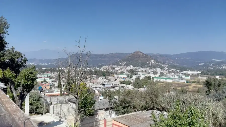
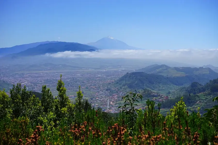
Nearby cities


History & landmarks
Nature
More places