Plizio Visual Lab
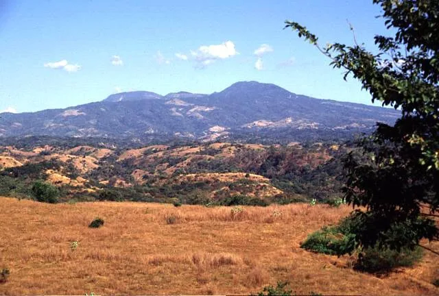
Cerro El Taburete

Weather…
Water temperature…
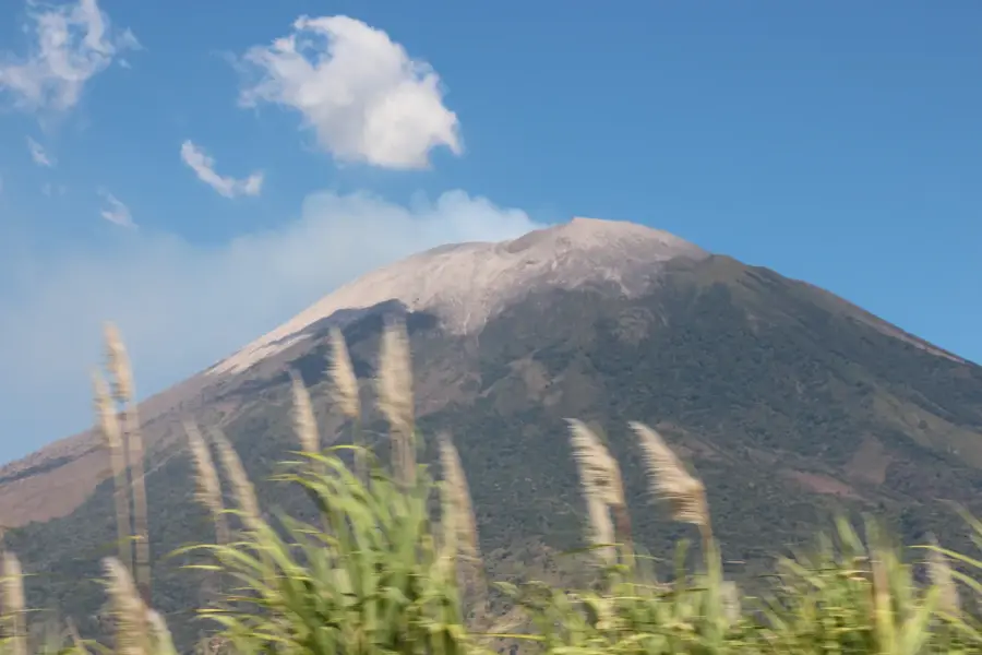
Cerro El Taburete is an extinct volcano and a prominent member of the Tecapa-Chinameca volcanic range in east-central El Salvador. Rising to an elevation of approximately 1,172 meters above sea level, it is a significant feature of the Usulután Department landscape. The mountain is characterized by its steep slopes and lush vegetation, which transitions into cloud forest at higher altitudes. Geologically, El Taburete is part of a complex volcanic cluster associated with the nearby Tecapa volcano and the Alegría crater lake. The fertile volcanic soils on its flanks are extensively used for coffee cultivation, which remains a cornerstone of the local economy. Historically, the region around El Taburete has been an important agricultural hub since colonial times. Hiking trails to the summit provide spectacular views of the Lempa River valley and the surrounding volcanic cones. Preservation of the mountain's watersheds is vital for maintaining the water supply for the numerous rural communities in the surrounding area.
- Location: El Salvador
- Nearby: Alegría (8 km)
Best time to visit & climate
The most pleasant time to visit is Jan, Nov, Dec.
| Jan | Feb | Mar | Apr | May | Jun | Jul | Aug | Sep | Oct | Nov | Dec | |
|---|---|---|---|---|---|---|---|---|---|---|---|---|
| Avg °C | 27 | 28 | 29 | 29 | 28 | 27 | 28 | 27 | 26 | 26 | 26 | 26 |
| Rain mm | 3 | 4 | 6 | 32 | 169 | 193 | 155 | 198 | 234 | 204 | 41 | 10 |
📋 Practical info
Geography
Facts
- The summit reaches a total elevation of 1,172 meters.
- It belongs to the Tecapa-Chinameca volcanic mountain chain.
- The peak is located within the Usulután Department.
- The slopes are famous for their high-altitude coffee plantations.
- Geologically, it is an extinct volcanic cone of the Quaternary.
- It serves as a key watershed for the surrounding agricultural lands.
Explore nearby
Notable places around
Route planner — Car & Motorhome
Where do you start? We build the route here, with stops and country notes along the way.
© OpenStreetMap contributors · OpenRouteService
Sights in the town Cerro El Taburete (1)
Sights nearby
Frequently asked questions
What makes Cerro El Taburete special?
Is the route easy to find?
When should you abort the hike?
Is the mountain accessible?
How much time should I plan for the trip?
Cerro El Taburete: where is it located?
Cerro El Taburete: when is the best time to visit?
Cerro El Taburete: why is it worth visiting?

Nearby cities


History & landmarks


Nature


More places