Plizio Visual Lab
San Vicente

ℹ️Practical info — San Vicente
▾
🌤 Weather — 5 days
📍 Nearby
Sights nearby
💡 Tips
- Start your day early to explore before the midday heat sets in, and to enjoy clear views of the Chichontepec volcano.
- Public transport is affordable, but local buses (rutas) can be crowded; consider a taxi for more comfortable longer trips.
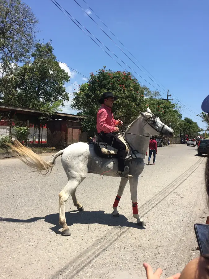
- Keep an eye out for local festivals; the town is famous for its spirited street processions and music.
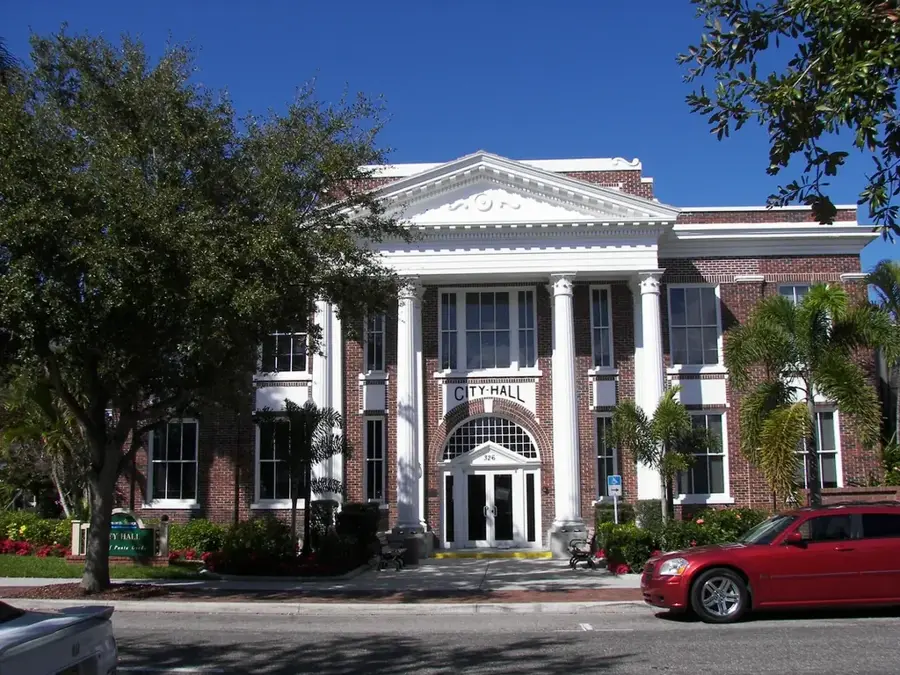
- Visit the iconic Torre Vicentina, an impressive clock tower located right in the middle of the central park.
🍽 Food
El Salvador's national dish; try the local and authentic variations at the pupuserías scattered around the central square.
A warm, sweet and thick corn beverage that is especially popular to drink in the early evening.
Traditional local sweets made from ingredients like coconut, milk, and tamarind, widely available at local markets.
🛍 Shopping · 🧘 Quiet spots
The bustling main hub of the city to buy fresh tropical fruits, vegetables, and everyday essential goods.
Look for brightly colored local textiles and traditional pottery in the smaller independent shops near the city center.
The main park where you can comfortably sit on a shaded bench and admire the architecture of the clock tower.
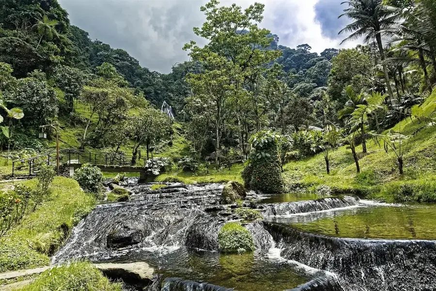
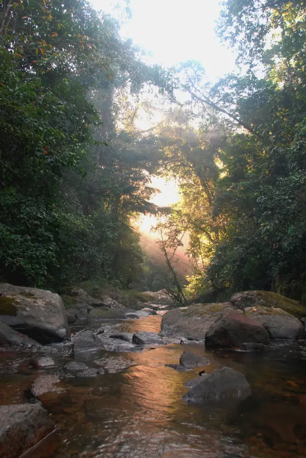
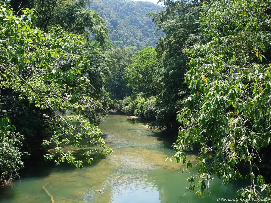
Located just outside the city, it is a relaxing green oasis with natural volcanic spring water pools.
Water temperature…
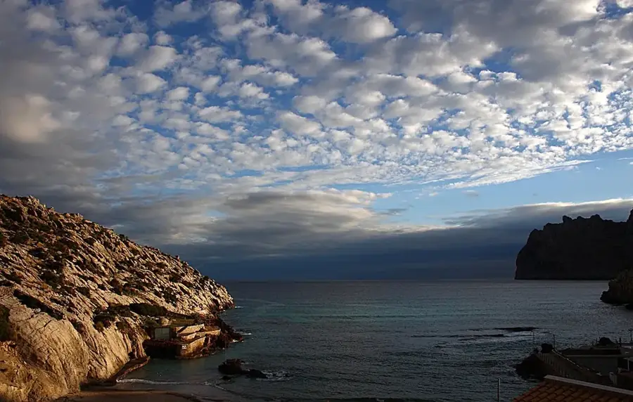
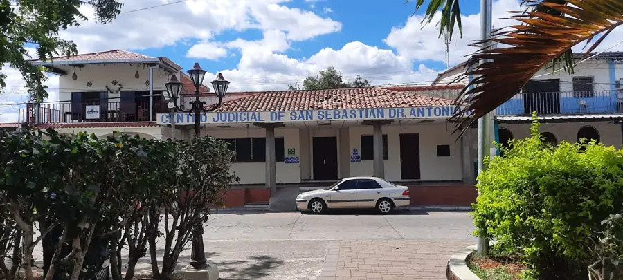
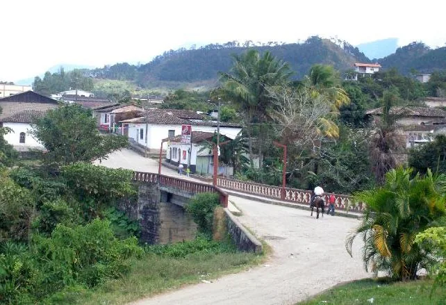
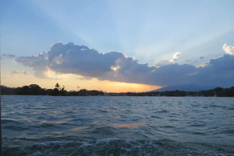
San Vicente is the historic capital of the San Vicente Department in central El Salvador, set at the base of the majestic Chichontepec Volcano. Founded in 1635 by Spanish settlers near the Acahuapa River, the city was named in honor of Saint Vincent of Avila and has served as a critical administrative and agricultural center throughout El Salvador's history. Between 1834 and 1839, San Vicente even functioned as the capital of the Republic of El Salvador, highlighting its political importance during the formative years of the nation. The city's landscape is famously characterized by the iconic San Vicente Clock Tower, a white structure built in 1944 in the central Cañas Park, which stands as a testament to the city’s resilience against seismic activity. Economically, the region is a powerhouse of sugar cane production, with large-scale refineries processing the harvests from the surrounding fertile plains. The area is also known for its history of indigo cultivation and textile manufacturing. San Vicente is a bustling educational hub, hosting a major regional branch of the University of El Salvador, which brings a young and dynamic population to the city. The local climate is tropical, with warmth tempered by the elevation and the cool breezes from the volcano’s slopes. Cultural life is rich with religious festivals, most notably the 'Fiestas Patronales' in December, which feature traditional dances and local delicacies like candied sweet potatoes. Nature lovers are drawn to the nearby Amapulapa Water Park, famous for its cold natural springs and lush forest surroundings. The city retains much of its colonial charm in its grid-like street layout and historic churches, offering a blend of tradition and modern Salvadoran life.
- Location: El Salvador
- Top sights: San Vicente, El Salvador · San Cayetano Istepeque
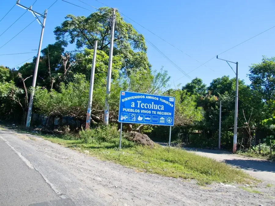
- Nearby: Tecoluca (4 km)
- Population: ~41.504 (2026)
Best time to visit & climate
The most pleasant time to visit is Jan, Nov, Dec.
| Jan | Feb | Mar | Apr | May | Jun | Jul | Aug | Sep | Oct | Nov | Dec | |
|---|---|---|---|---|---|---|---|---|---|---|---|---|
| Avg °C | 27 | 28 | 29 | 29 | 28 | 27 | 28 | 27 | 26 | 26 | 26 | 26 |
| Rain mm | 3 | 4 | 6 | 32 | 169 | 193 | 155 | 198 | 234 | 204 | 41 | 10 |
Geography
Facts
- San Vicente was founded in 1635 by 50 Spanish families.
- The city's famous white clock tower is officially named 'La Torre de San Vicente'.
- Chichontepec Volcano is a stratovolcano with two prominent summits.
- The city's elevation is 390 meters above sea level.
- San Vicente is home to the 'Ingenio Jiboa', one of the largest sugar mills in El Salvador.
- The city is located at the intersection of the Pan-American Highway and the coastal route.
- The annual 'Fiesta de los Canastos' is a unique local tradition involving wicker baskets.
- The Acahuapa River provides essential irrigation for the local indigo and sugar crops.
Explore nearby
Notable places around
Route planner — Car & Motorhome
Where do you start? We build the route here, with stops and country notes along the way.
© OpenStreetMap contributors · OpenRouteService
Sights in the town San Vicente (2)
Frequently asked questions
What is the best time for San Vicente?
Are there historical buildings?
Is San Vicente a safe city?
Is it good for shopping?
What is the atmosphere like?
San Vicente: where is it located?
San Vicente: what is there to see?
San Vicente: when is the best time to visit?
San Vicente: why is it worth visiting?

Nearby cities


History & landmarks
Nature
More places