Plizio Visual Lab
Cerro de Oro
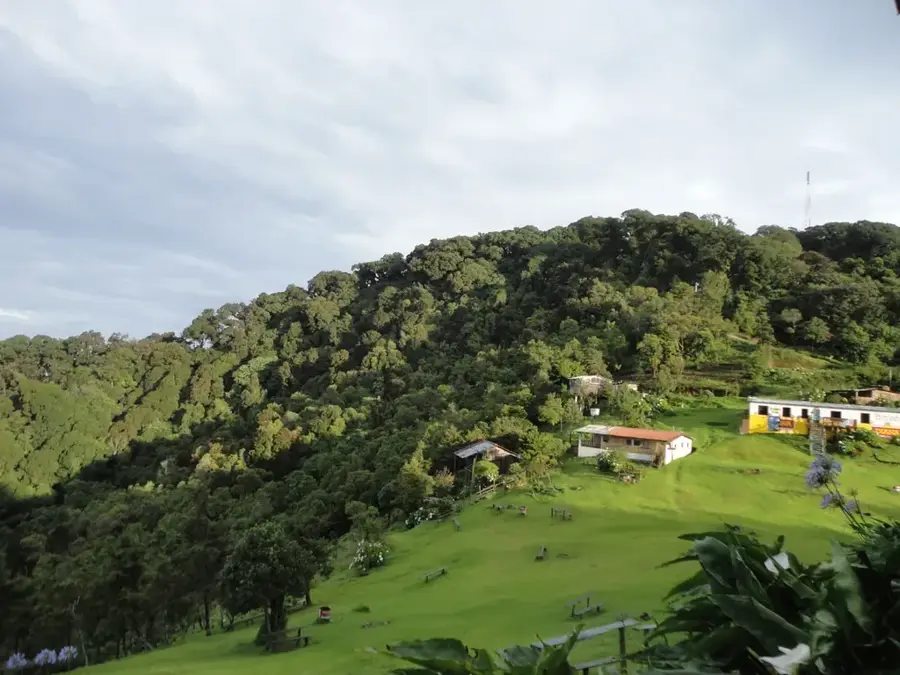
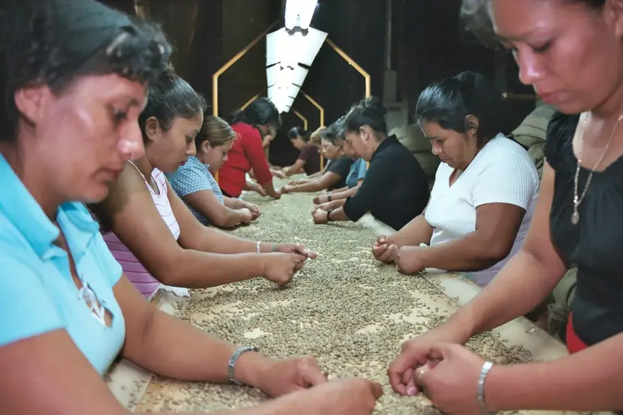
Cerro de Oro is a distinctive volcanic formation located near the San Vicente volcano (Chichontepec) in central El Salvador. This relief feature was created by secondary volcanic activity and consists primarily of lava domes and pyroclastic materials. Its name, meaning 'Hill of Gold,' stems from local legends about hidden pre-Columbian treasures, although no scientific evidence supports these claims. Geographically, the hill features a strategic vantage point over the Jiboa Valley and Lake Ilopango, which made it significant for surveillance in historical times. The vegetation is composed of tropical dry forest and agricultural plots where local farmers grow maize and beans. Today, Cerro de Oro is a destination for local hikers exploring the geological diversity of the San Vicente Department. Ensuring the stability of its slopes is critical due to the frequent seismic activity in this particular geological zone.
- Location: El Salvador
- Top sights: San Miguel Tepezontes · San Juan Tepezontes
- Nearby: El Rosario (4 km)
Best time to visit & climate
The most pleasant time to visit is Jan, Nov, Dec.
| Jan | Feb | Mar | Apr | May | Jun | Jul | Aug | Sep | Oct | Nov | Dec | |
|---|---|---|---|---|---|---|---|---|---|---|---|---|
| Avg °C | 27 | 28 | 29 | 29 | 28 | 27 | 28 | 27 | 26 | 26 | 26 | 26 |
| Rain mm | 3 | 4 | 6 | 32 | 169 | 193 | 155 | 198 | 234 | 204 | 41 | 10 |
📋 Practical info
Geography
Facts
- Cerro de Oro is located within the San Vicente Department.
- It is classified as a volcanic dome related to the Chichontepec complex.
- The hill provides a panoramic view of the Jiboa Valley region.
- Local folklore suggests the hill was a sacred site for indigenous groups.
- The slopes are used for the cultivation of basic grains and fruits.
- It is situated in a zone of high tectonic and volcanic significance.
Explore nearby
Notable places around
Route planner — Car & Motorhome
Where do you start? We build the route here, with stops and country notes along the way.
© OpenStreetMap contributors · OpenRouteService
Sights in the town Cerro de Oro (2)
Sights nearby
Frequently asked questions
Is Cerro de Oro known to tourists?
Do you need a guide for the ascent?
What physical requirements are needed?
Are there dangerous animals there?
When is the best time for a visit?
Cerro de Oro: where is it located?
Cerro de Oro: what is there to see?
Cerro de Oro: when is the best time to visit?
Cerro de Oro: why is it worth visiting?

Nearby cities


History & landmarks


Nature


More places