Plizio Visual Lab
Lempa River
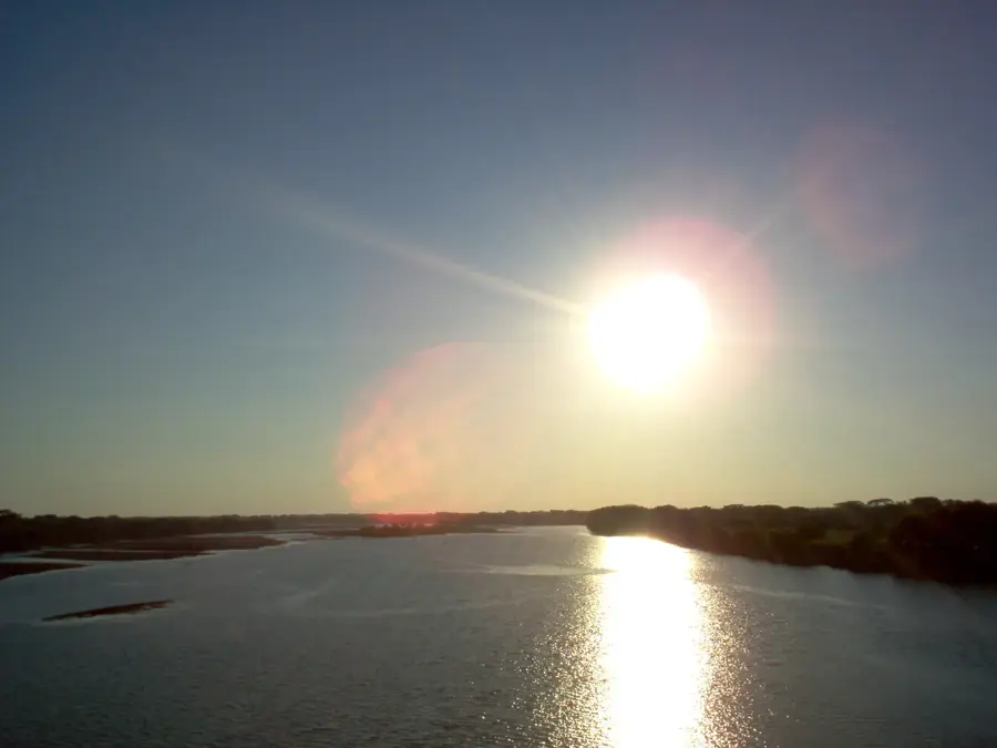
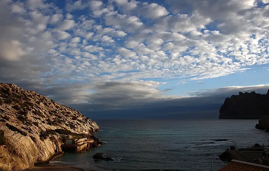
The Lempa River is the longest and most important river in El Salvador, serving as a vital artery for the entire region. It originates in the highlands of Guatemala, flows through a portion of Honduras, and covers the majority of its 422-kilometer course within El Salvador before emptying into the Pacific Ocean. The river plays a crucial role in the country's economy, particularly through hydroelectric power generation at several large dams, such as the Cerrón Grande. Its basin covers nearly half of the national territory and is essential for agriculture, providing fertile soils for the cultivation of grains and sugarcane. Ecologically, the Lempa delta is a significant wetland area that serves as a breeding ground for numerous migratory bird species and threatened sea turtles. Despite its importance, the river faces challenges from pollution and climate change, making conservation efforts indispensable. The Lempa River is not just a natural border but also a symbol of national identity and the country's ecological diversity.
- Location: El Salvador
- Nearby: Tecoluca (4 km)
Best time to visit & climate
The most pleasant time to visit is Jan, Nov, Dec.
| Jan | Feb | Mar | Apr | May | Jun | Jul | Aug | Sep | Oct | Nov | Dec | |
|---|---|---|---|---|---|---|---|---|---|---|---|---|
| Avg °C | 27 | 28 | 29 | 29 | 28 | 27 | 28 | 27 | 26 | 26 | 26 | 26 |
| Rain mm | 3 | 4 | 6 | 32 | 169 | 193 | 155 | 198 | 234 | 204 | 41 | 10 |
📋 Practical info
Geography
Facts
- The total length of the river is approximately 422 kilometers.
- The basin drains an area of about 18,246 square kilometers.
- Provides over 30% of El Salvador's electricity through hydro power.
- The Cerrón Grande Dam was officially inaugurated in 1976.
- Flows through three countries: Guatemala, Honduras, and El Salvador.
- The mouth is located between the departments of San Vicente and Usulután.
Explore nearby
Notable places around
Route planner — Car & Motorhome
Where do you start? We build the route here, with stops and country notes along the way.
© OpenStreetMap contributors · OpenRouteService
Sights nearby
Frequently asked questions
Can you swim in the Río Lempa?
Are there guided boat tours?
What birds can be seen there?
Is the environment safe for tourists?
When is the water level lowest?
Lempa River: where is it located?
Lempa River: when is the best time to visit?
Lempa River: why is it worth visiting?

Nearby cities


History & landmarks


Nature


More places