Plizio Visual Lab
Coatepeque Caldera

Weather…
Water temperature…
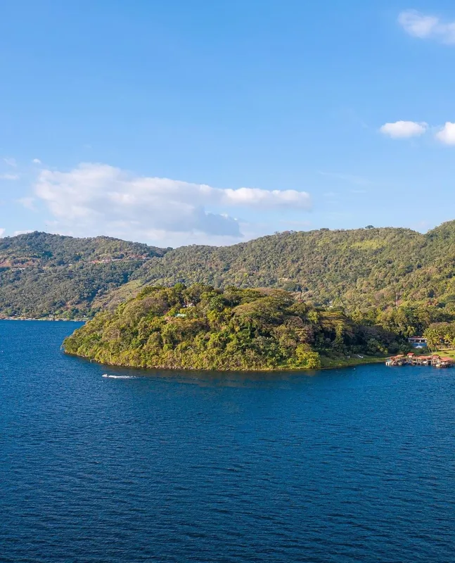
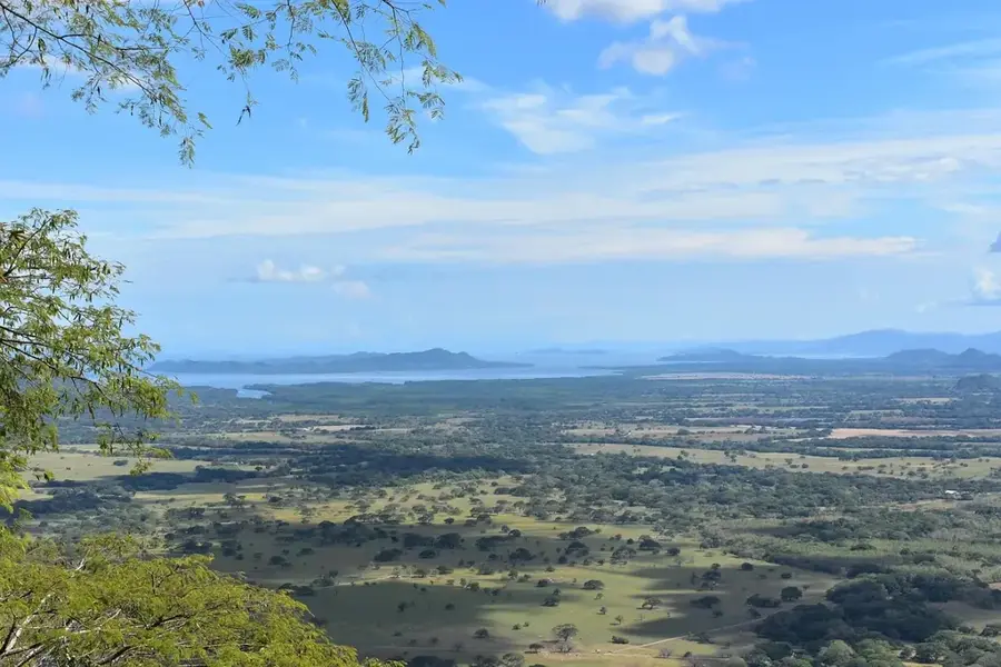
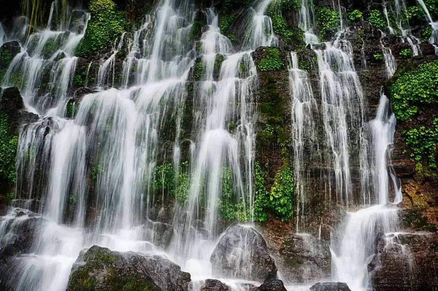
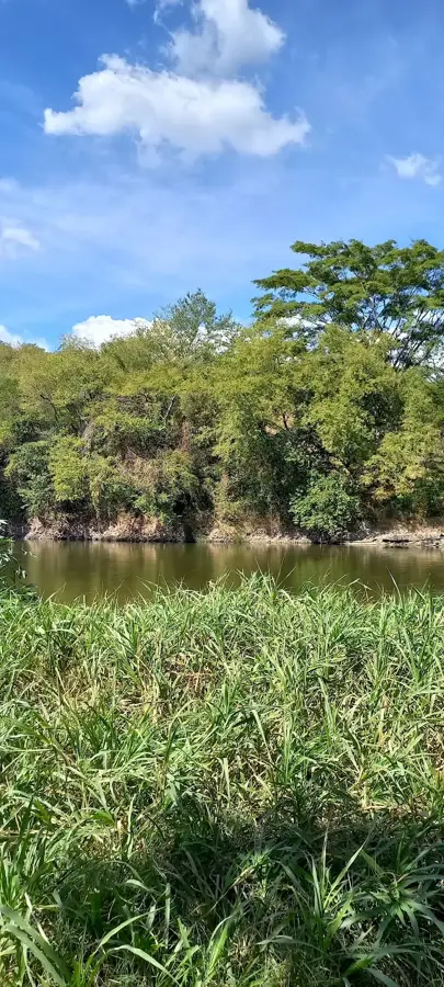
The Coatepeque Caldera is a majestic volcanic feature located in the Santa Ana Department, housing one of the most beautiful crater lakes in Central America. The caldera was formed by a series of massive rhyolitic eruptions between 72,000 and 57,000 years ago, leading to the collapse of the volcanic edifice and the creation of the current basin. Lake Coatepeque sits at an elevation of 745 meters above sea level and covers an area of approximately 26 square kilometers. A fascinating natural phenomenon occurs periodically when the lake's waters turn an intense turquoise color, attributed to algae blooms or hydrothermal activity. Within the caldera, several lava domes are present, including Teopán Island, which was once a sacred site for the Mayan civilization. Today, the area is a major tourist destination renowned for water sports and upscale developments, while also being under environmental protection to safeguard its water quality.
- Location: El Salvador
- Nearby: Teotepeque (10 km)
📋 Practical info
Geography
Facts
- Formed by volcanic eruptions between 72,000 and 57,000 years ago.
- The lake is positioned at an altitude of 745 meters.
- The surface area of the lake is approximately 26 km².
- Famous for the periodic turquoise color change of its waters.
- Teopán Island within the lake was an ancient Mayan sacred site.
- The maximum depth of the lake is around 115 meters.
Explore nearby
Notable places around
Route planner — Car & Motorhome
Where do you start? We build the route here, with stops and country notes along the way.
© OpenStreetMap contributors · OpenRouteService
Sights nearby
Frequently asked questions
Can you swim in the lake?
What is the best activity?
How do you get there?
Are there restaurants?
Is it crowded on weekends?
Coatepeque Caldera: where is it located?
Coatepeque Caldera: why is it worth visiting?

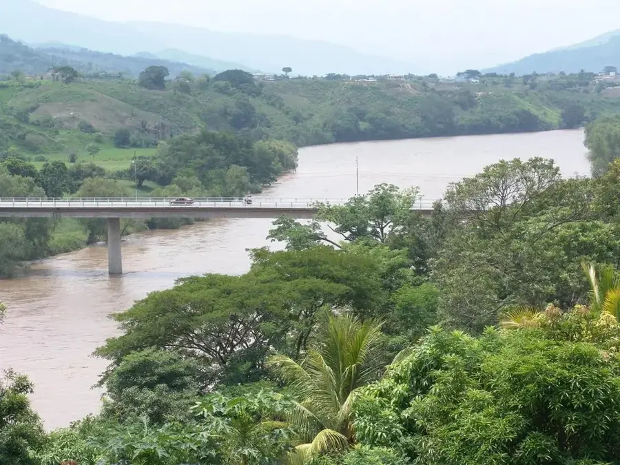
Nearby cities


History & landmarks

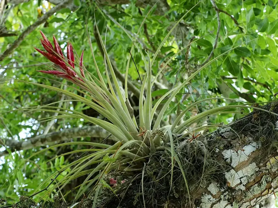
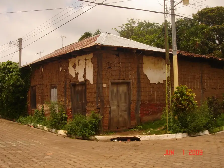
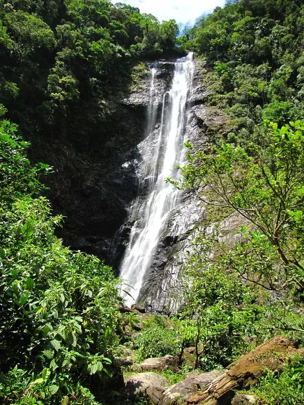
Nature
More places