Plizio Visual Lab
Alotepeque

Weather…
Water temperature…
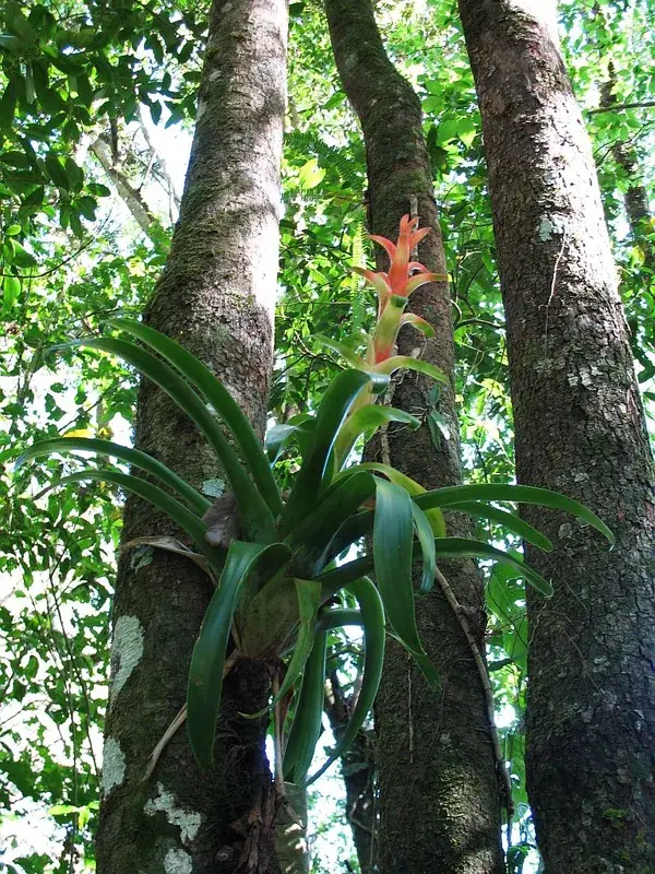
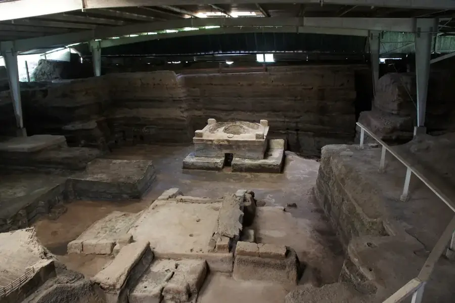
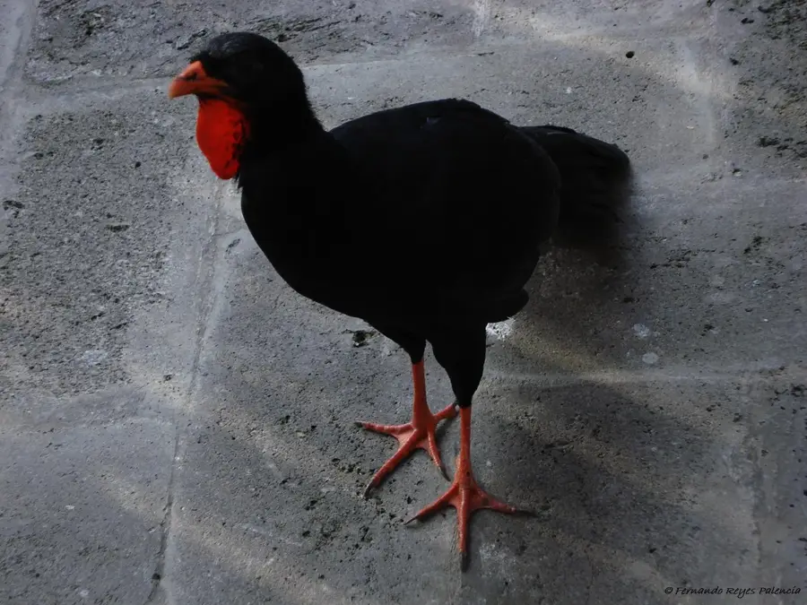
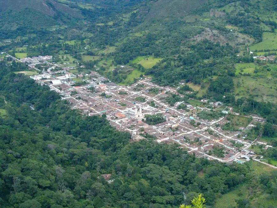
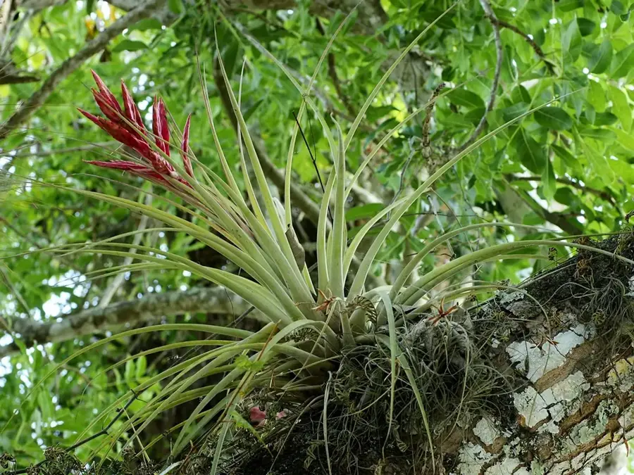
Alotepeque is a massive, extinct volcanic and mountain complex located in northwestern El Salvador, in the Santa Ana Department near the border with Guatemala. It forms part of the Sierra Madre and reaches significant heights that shape the climate of the Metapán region. Historically, Alotepeque is primarily known for its rich mineral resources; as far back as the colonial era, important silver and lead mines were operated here. Geologically, the complex consists of a mixture of Tertiary volcanic rocks and older sedimentary formations, distinguishing it from the country's younger volcanoes. The vegetation is characterized by dense oak and pine forests, as well as remnants of cloud forest in the summit zones. Due to its secluded location, it hosts untouched fauna, including various species of birds of prey and small mammals. The region is also geothermally interesting, with natural hot springs in the vicinity. Today, Alotepeque is a destination for geologists and hikers wishing to explore its industrial mining history and wild nature.
- Location: El Salvador
- Nearby: Playa San Diego (4 km)
Best time to visit & climate
The most pleasant time to visit is Jan, Feb, Dec.
| Jan | Feb | Mar | Apr | May | Jun | Jul | Aug | Sep | Oct | Nov | Dec | |
|---|---|---|---|---|---|---|---|---|---|---|---|---|
| Avg °C | 20 | 22 | 23 | 25 | 25 | 23 | 23 | 23 | 22 | 22 | 20 | 20 |
| Rain mm | 26 | 21 | 20 | 37 | 142 | 198 | 165 | 198 | 224 | 158 | 62 | 33 |
📋 Practical info
Geography
Facts
- Alotepeque is located in the northern Santa Ana Department.
- It belongs to the Sierra Madre geological formation.
- The region was historically a center for silver mining.
- It is situated near Metapán, a major industrial center.
- Pine and oak forests dominate the local vegetation.
- The area features natural thermal springs of volcanic origin.
Explore nearby
Notable places around
Route planner — Car & Motorhome
Where do you start? We build the route here, with stops and country notes along the way.
© OpenStreetMap contributors · OpenRouteService
Sights nearby
Frequently asked questions
What is Alotepeque?
Is the climb suitable for children?
Do you need a GPS device?
Are accommodations available nearby?
Are there viewpoints there?
Alotepeque: where is it located?
Alotepeque: when is the best time to visit?
Alotepeque: why is it worth visiting?

Nearby cities


History & landmarks


Nature


More places