Plizio Visual Lab
Sierra Martín García

Weather…
Water temperature…
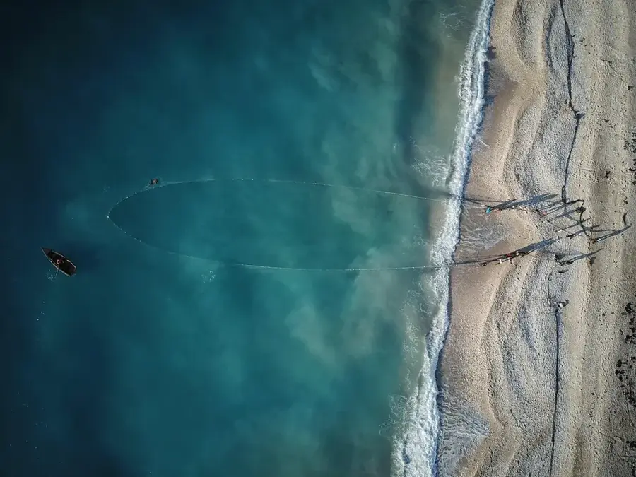
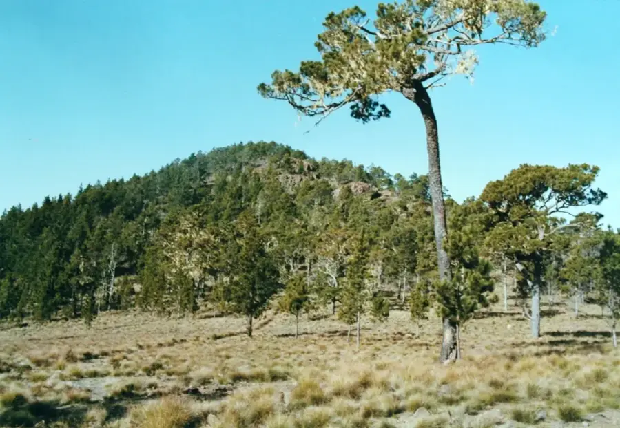
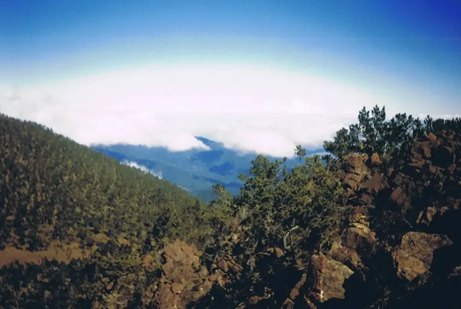
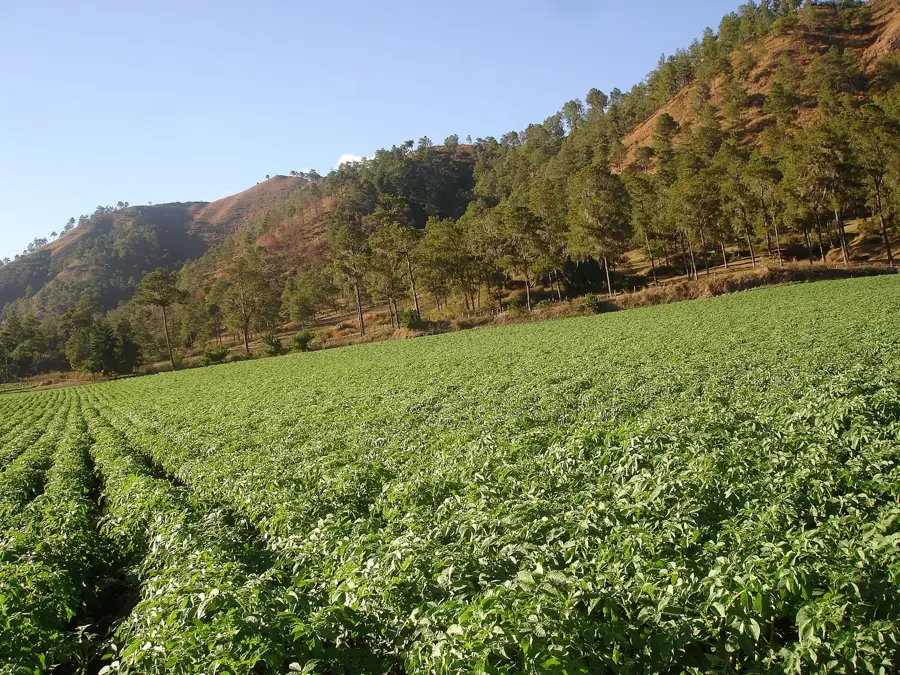
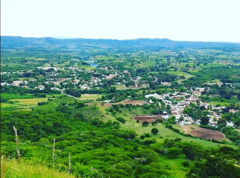
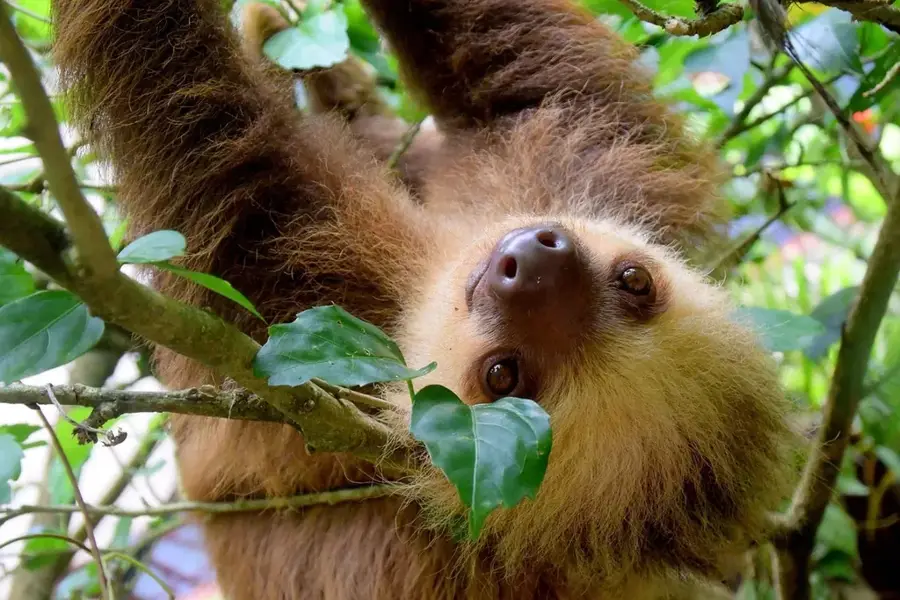
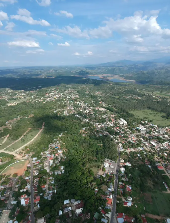
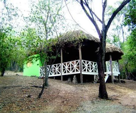
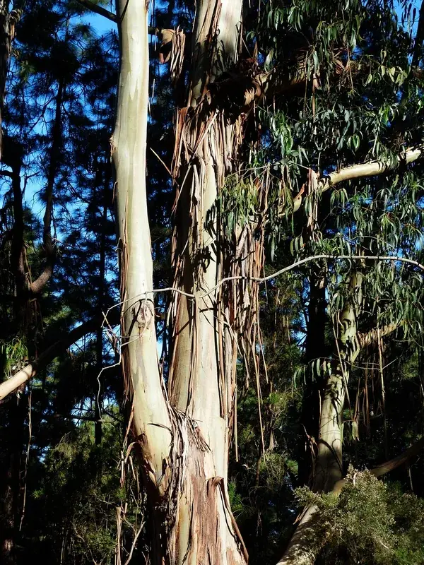
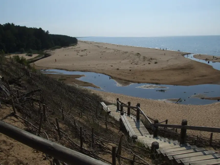
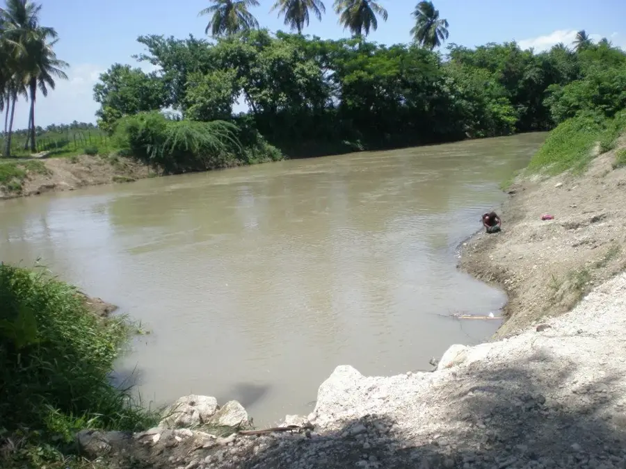
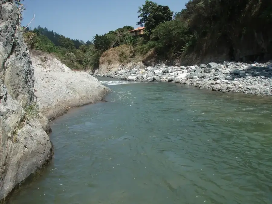
The Sierra Martín García is an isolated mountain block in the southwestern Dominican Republic, rising between the bays of Neiba and Azua. Geologically, it represents a horst that was separated from the Sierra de Bahoruco and the Cordillera Central by tectonic movements. Its highest peak is Loma del Curro, reaching 1,343 meters above sea level. Despite its relatively limited area, it hosts a remarkable variety of ecosystems, ranging from extreme dry forests at its base to humid montane forests on the upper slopes. The territory is protected as a national park to preserve its high number of endemic plant species, several of which are found nowhere else on Earth. Historically, the region remained sparsely populated due to its steep terrain and water scarcity, which contributed to the preservation of its pristine natural state. Today, it serves as a vital biological corridor between the surrounding protected areas of the Enriquillo basin.
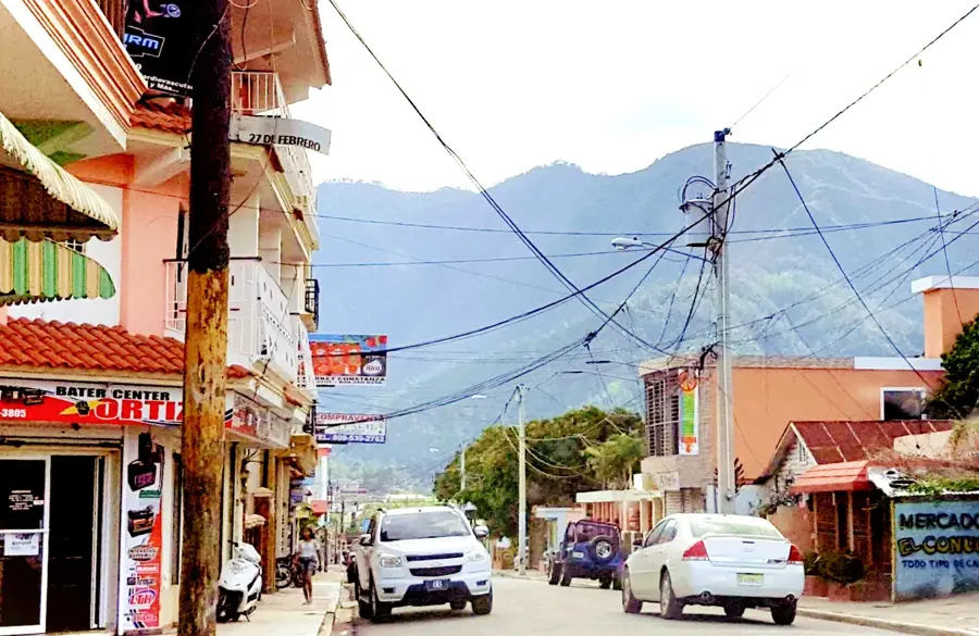
- Location: Dominican Republic
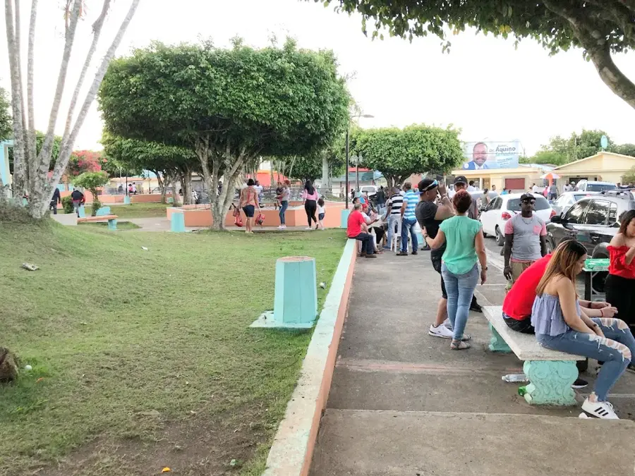
- Nearby: Sabana Yegua (5 km)
Best time to visit & climate
The most pleasant time to visit is Jan, Feb, Dec.
| Jan | Feb | Mar | Apr | May | Jun | Jul | Aug | Sep | Oct | Nov | Dec | |
|---|---|---|---|---|---|---|---|---|---|---|---|---|
| Avg °C | 24 | 24 | 25 | 26 | 26 | 26 | 27 | 27 | 27 | 26 | 25 | 24 |
| Rain mm | 19 | 18 | 25 | 41 | 67 | 42 | 43 | 69 | 48 | 74 | 63 | 33 |
📋 Practical info
Geography
Facts
- The highest point is Loma del Curro at 1,343 meters
- Declared a National Park in 1996
- Geologically classified as an isolated tectonic horst
- Home to over 100 endemic plant species
- Critical habitat for iguanas and rare cacti species
- Acts as a natural barrier to the prevailing trade winds
Explore nearby
Notable places around
Route planner — Car & Motorhome
Where do you start? We build the route here, with stops and country notes along the way.
© OpenStreetMap contributors · OpenRouteService
Sights nearby
Frequently asked questions
Where is the Sierra Martín García located?
What is special about this mountain range?
Can you go hiking there?
What is the vegetation like?
Are there national parks there?
Sierra Martín García: where is it located?
Sierra Martín García: when is the best time to visit?
Sierra Martín García: why is it worth visiting?

Nearby cities

History & landmarks
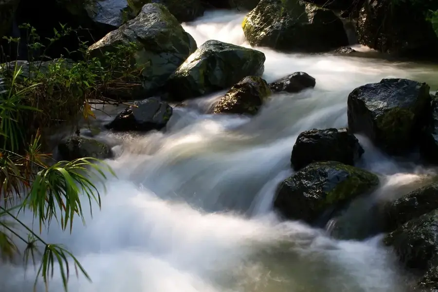
Nature
More places