Plizio Visual Lab
San Juan Plain
Weather…
Water temperature…
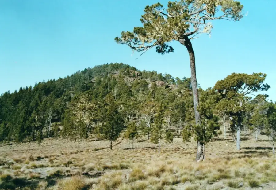
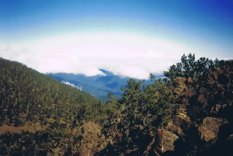
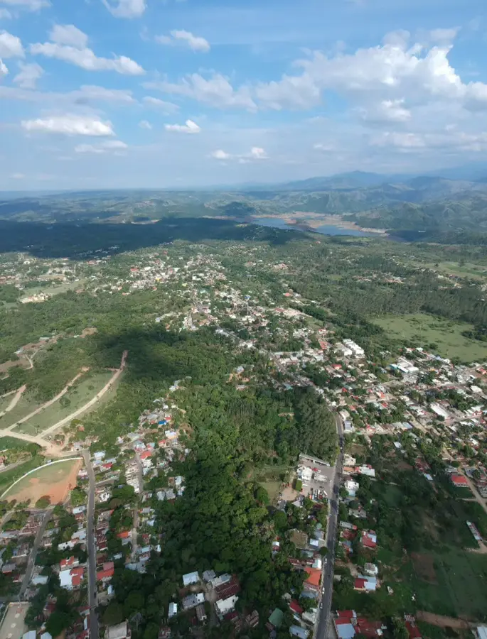
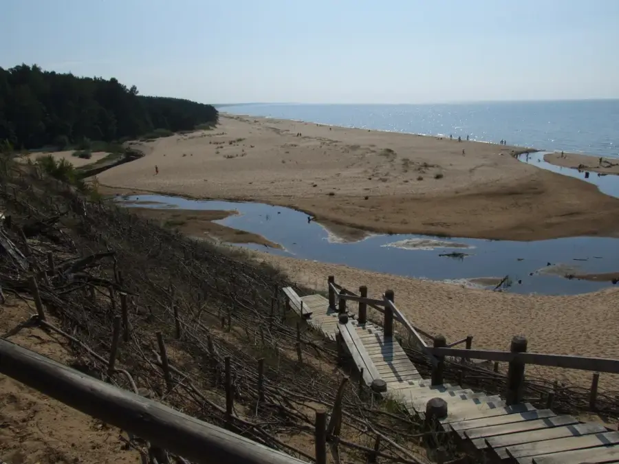
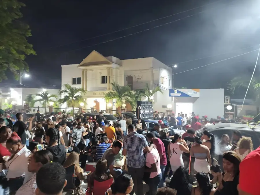
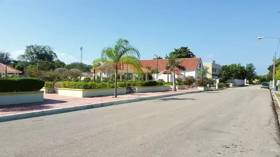
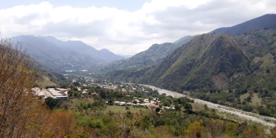
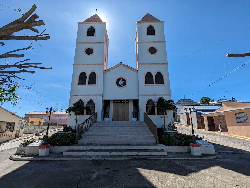
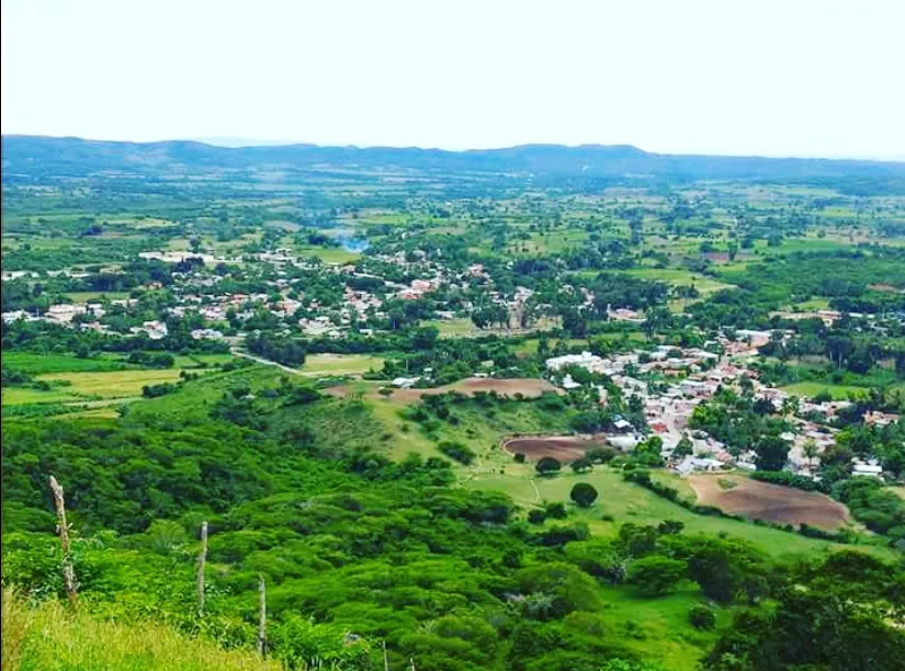
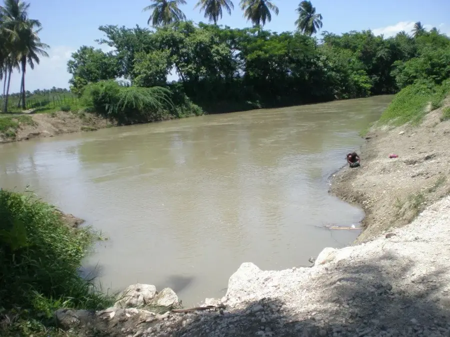
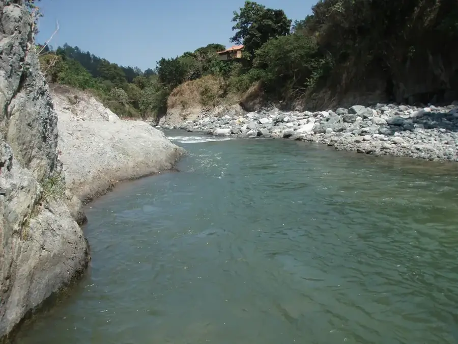
The San Juan Plain, also referred to as the San Juan Valley, is a significant tectonic depression located between the Cordillera Central and the Sierra de Neiba in the western Dominican Republic. Covering an area of approximately 1,800 square kilometers, the plain sits at an average elevation of 400 to 500 meters above sea level. The region experiences a semi-arid to sub-humid climate, making large-scale agriculture dependent on irrigation systems sourced from the Yaque del Sur River. Historically, the valley was a major center for the Taino civilization under the leadership of Cacique Caonabo. Today, San Juan de la Maguana is the primary urban hub of this fertile expanse, which is renowned for its production of grains, beans, and rice. The geology of the plain consists mainly of alluvial sediments deposited over millions of years by the erosion of the surrounding mountain ranges.
- Location: Dominican Republic
- Nearby: Monción (19 km)
Best time to visit & climate
The most pleasant time to visit is Jan–Mar.
| Jan | Feb | Mar | Apr | May | Jun | Jul | Aug | Sep | Oct | Nov | Dec | |
|---|---|---|---|---|---|---|---|---|---|---|---|---|
| Avg °C | 20 | 21 | 22 | 23 | 23 | 24 | 25 | 25 | 24 | 23 | 22 | 21 |
| Rain mm | 27 | 20 | 28 | 38 | 56 | 35 | 36 | 52 | 44 | 56 | 63 | 37 |
📋 Practical info
Geography
Facts
- The valley covers an area of approximately 1,800 square kilometers.
- Average elevation ranges between 400 and 500 meters above sea level.
- It is bordered by the Cordillera Central and the Sierra de Neiba.
- San Juan de la Maguana was founded in 1503 as a key settlement.
- The Yaque del Sur River is the primary source for regional irrigation.
- The plain is considered the 'granary' of the Dominican Republic.
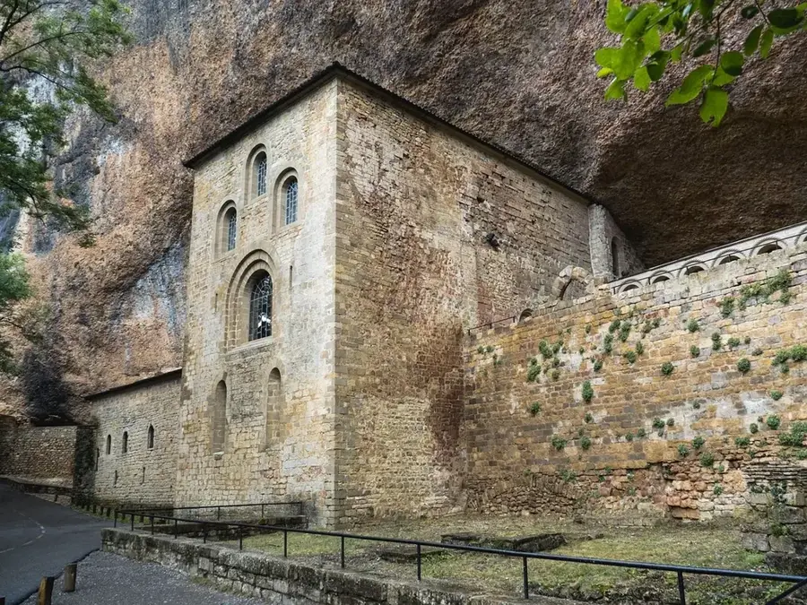
Explore nearby
Notable places around
Route planner — Car & Motorhome
Where do you start? We build the route here, with stops and country notes along the way.
© OpenStreetMap contributors · OpenRouteService
Sights nearby
Frequently asked questions
What is the San Juan Plain?
What is mainly produced there?
How is the climate in this plain?
Which city is the center of the plain?
Between which mountains does it lie?
San Juan Plain: where is it located?
San Juan Plain: when is the best time to visit?
San Juan Plain: why is it worth visiting?

Nearby cities

Nature
More places