Plizio Visual Lab
Yaque del Sur
Weather…
Water temperature…
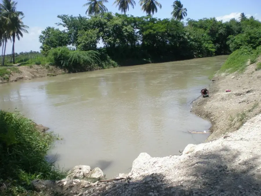
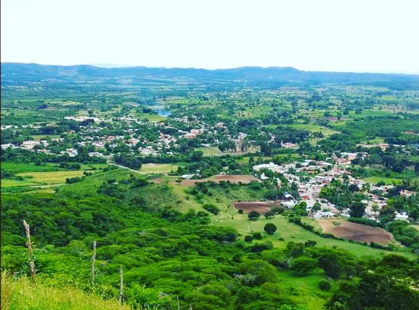
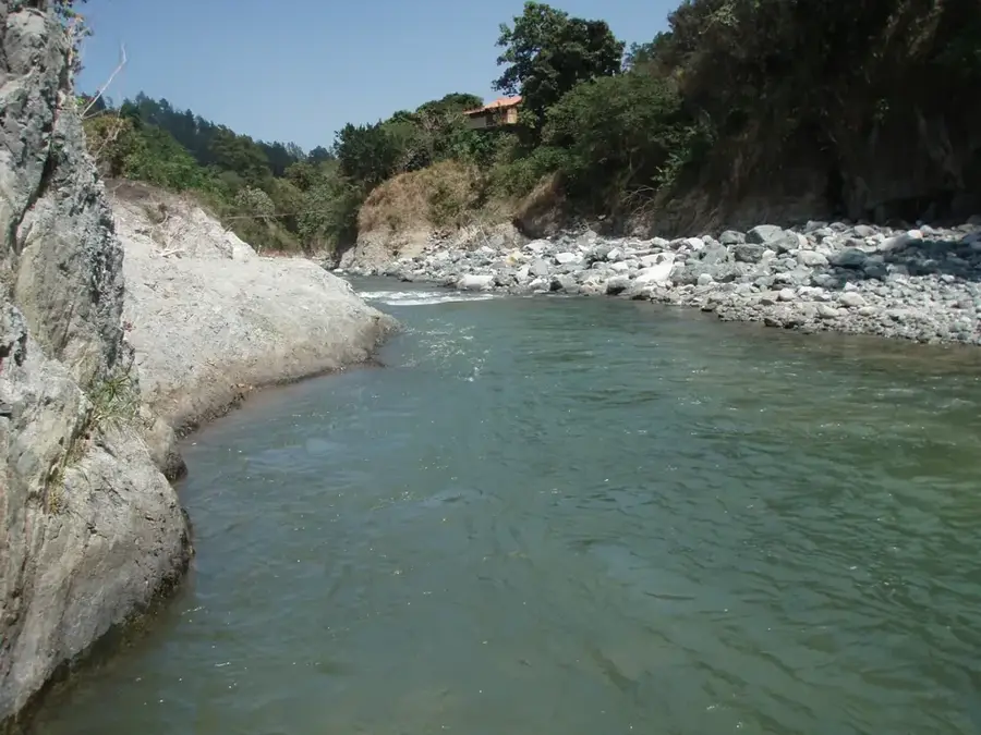
The Río Yaque del Sur is one of the most significant rivers in the Dominican Republic, draining the southwestern portion of the country. It originates in the Cordillera Central at the foot of Pico Duarte, at an elevation of approximately 2,700 meters above sea level. With a total length of about 183 kilometers, it flows southward through the provinces of Azua and Barahona before emptying into Neiba Bay. Its watershed covers roughly 4,972 square kilometers and is vital for agriculture in the arid southern regions. Several dams, such as the Sabana Yegua Dam, regulate its water flow for hydroelectric power and the irrigation of banana and sugarcane plantations. The river's mouth forms a major estuarine ecosystem with extensive mangrove forests that serve as a nursery for numerous fish species and a habitat for waterfowl. Despite its economic importance, the river faces threats from erosion and sedimentation resulting from deforestation in its upper reaches.
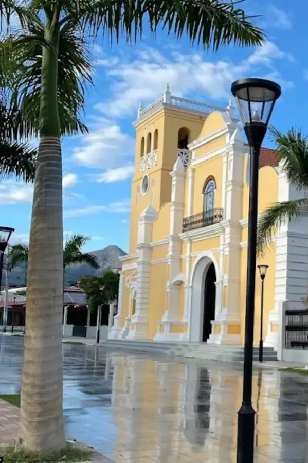
- Location: Dominican Republic
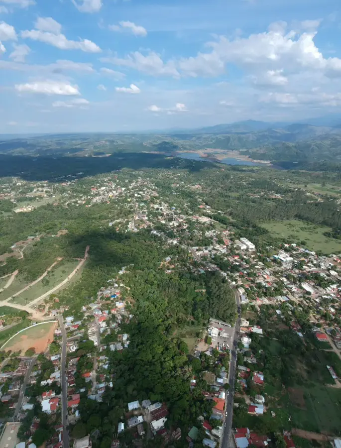
- Nearby: Sabana Yegua (17 km)
Best time to visit & climate
The most pleasant time to visit is Jan–Mar.
| Jan | Feb | Mar | Apr | May | Jun | Jul | Aug | Sep | Oct | Nov | Dec | |
|---|---|---|---|---|---|---|---|---|---|---|---|---|
| Avg °C | 24 | 24 | 24 | 25 | 25 | 26 | 26 | 26 | 26 | 26 | 25 | 24 |
| Rain mm | 24 | 21 | 33 | 44 | 73 | 56 | 57 | 87 | 60 | 101 | 97 | 38 |
📋 Practical info
Geography
Facts
- The total length of the river is approximately 183 kilometers.
- Originates at an altitude of 2,700 meters near Pico Duarte.
- The drainage basin covers about 4,972 square kilometers.
- Features the Sabana Yegua Dam for power and irrigation.
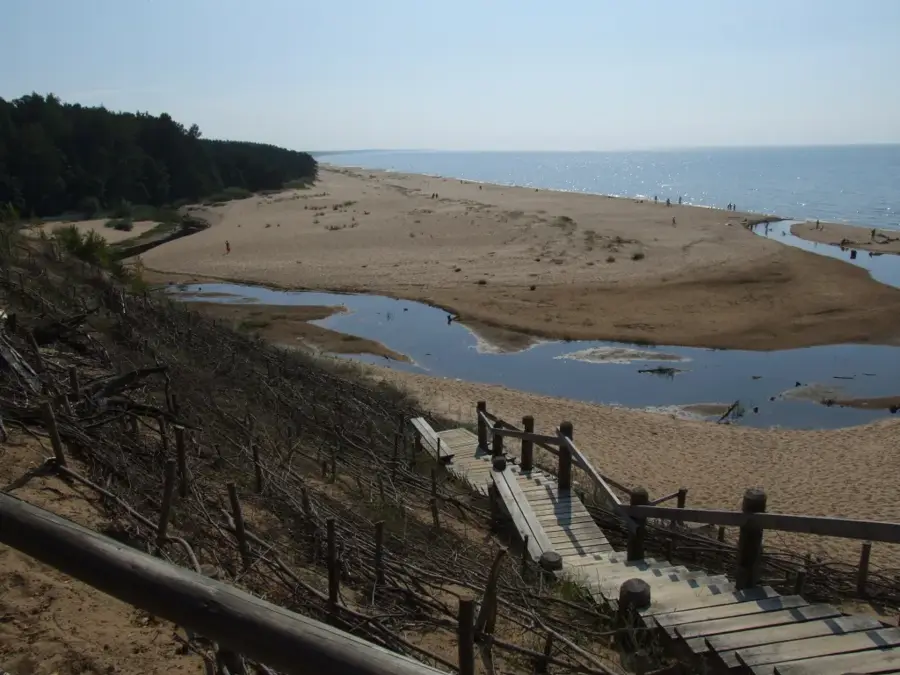
- Discharges into Neiba Bay on the Caribbean coast.
- Supplies water to over 15,000 hectares of agricultural land.
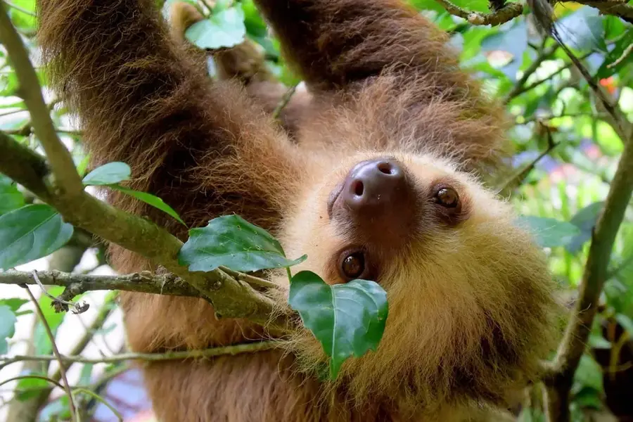
- The estuary is a key biodiversity hotspot for mangroves.
Explore nearby
Notable places around
Route planner — Car & Motorhome
Where do you start? We build the route here, with stops and country notes along the way.
© OpenStreetMap contributors · OpenRouteService
Sights in the town Yaque del Sur (1)
Sights nearby
Frequently asked questions
Where does the Yaque del Sur river originate?
What role does the river play for the region?
Can you do rafting on the river?
Where does the river empty?
Which cities are located along the river?
Yaque del Sur: where is it located?
Yaque del Sur: when is the best time to visit?
Yaque del Sur: why is it worth visiting?

Nearby cities

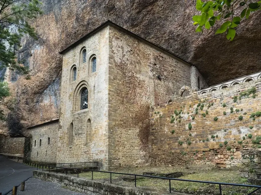

History & landmarks
Nature
More places