Plizio Visual Lab
Sierra de Neiba
Weather…
Water temperature…
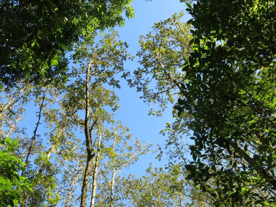
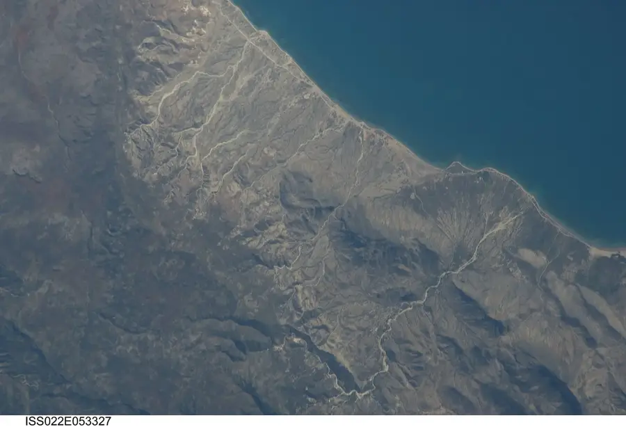
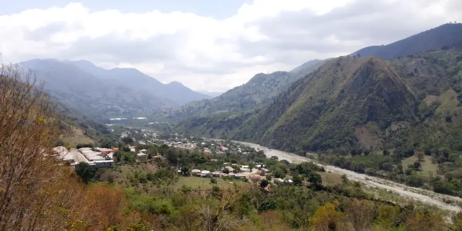
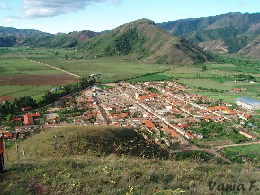
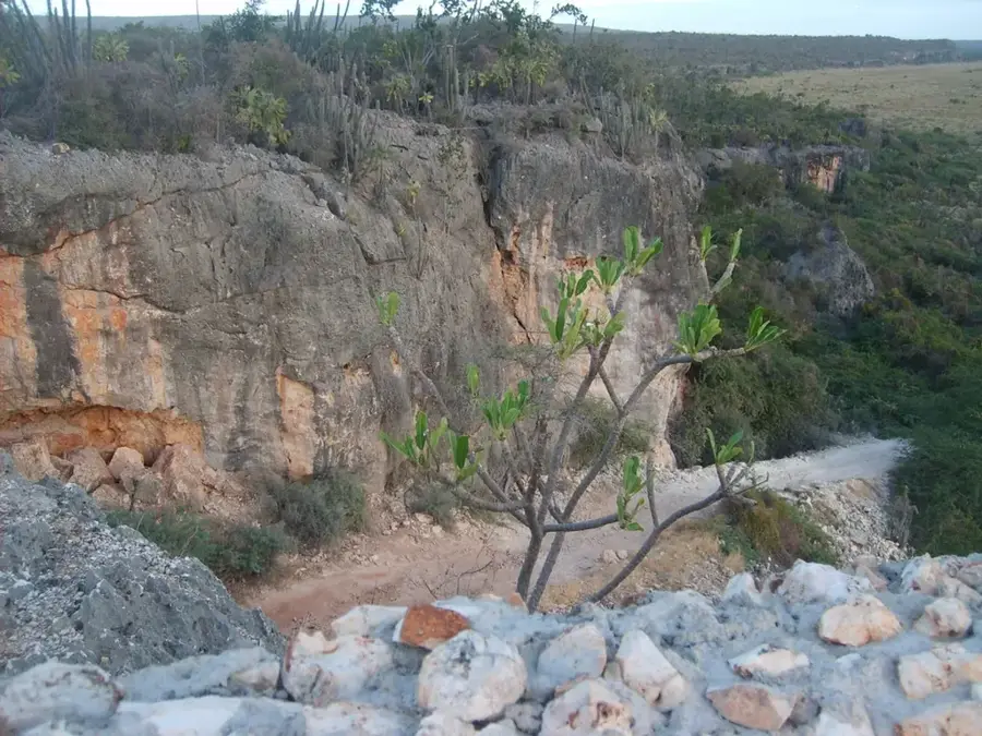
The Sierra de Neiba is a prominent mountain range in the southwestern Dominican Republic, running parallel to the Cordillera Central. It is part of a larger geological system that extends into Haiti, where it is known as the Chaîne des Matheux. The highest point in the range is Pico Neiba, reaching 2,279 meters above sea level. The Sierra is characterized by its karst topography, featuring numerous caves and underground rivers. Ecologically, the area is of great significance, protecting dense cloud forests and a high number of endemic species, including the endangered Hispaniolan solenodon. Coffee is cultivated on the lower slopes, while the higher peaks are protected within the Sierra de Neiba National Park. The range plays a crucial role in the water cycle, providing headwaters for irrigation in the Enriquillo Basin and the San Juan Valley.
- Location: Dominican Republic
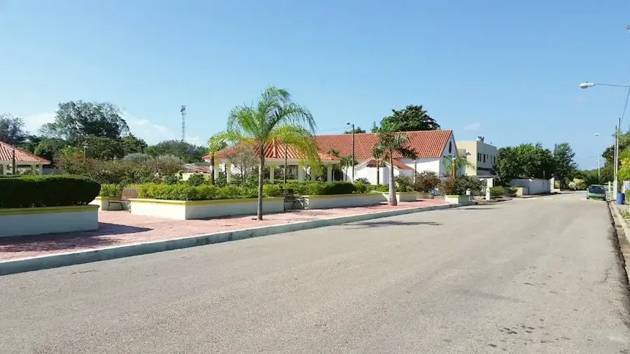
- Nearby: Guayabal (6 km)
Best time to visit & climate
The most pleasant time to visit is Jan, Feb, Dec.
| Jan | Feb | Mar | Apr | May | Jun | Jul | Aug | Sep | Oct | Nov | Dec | |
|---|---|---|---|---|---|---|---|---|---|---|---|---|
| Avg °C | 24 | 24 | 25 | 26 | 26 | 26 | 27 | 27 | 27 | 26 | 25 | 24 |
| Rain mm | 19 | 18 | 25 | 41 | 67 | 42 | 43 | 69 | 48 | 74 | 63 | 33 |
📋 Practical info
Geography
Facts
- Pico Neiba is the highest summit at 2,279 meters elevation.
- The mountain range extends for a length of approximately 100 kilometers.
- The Sierra de Neiba National Park was officially established in 1995.
- The region is home to more than 100 species of endemic orchids.
- The mountains divide the San Juan Valley from the Enriquillo Basin.
- Karst features such as sinkholes are widespread throughout the range.
Explore nearby
Notable places around
Route planner — Car & Motorhome
Where do you start? We build the route here, with stops and country notes along the way.
© OpenStreetMap contributors · OpenRouteService
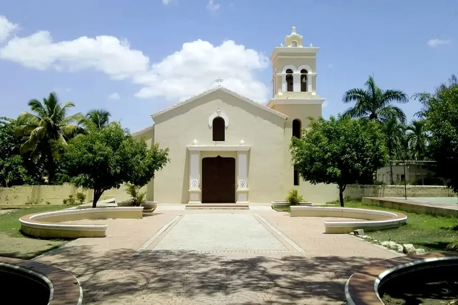
Sights nearby
Frequently asked questions
Where is the Sierra de Neiba located?
What characterizes this mountain range?
Is coffee grown there?
How high is the highest peak?
Is the region easily accessible?
Sierra de Neiba: where is it located?
Sierra de Neiba: when is the best time to visit?
Sierra de Neiba: why is it worth visiting?

Nearby cities

History & landmarks
Nature
More places