Plizio Visual Lab
Tábara Arriba
ℹ️Practical info — Tábara Arriba
▾
🌤 Weather — 5 days
📍 Nearby
Sights nearby
💡 Tips
- The climate here is arid and hot; sun protection and hydration are crucial when exploring the agricultural surroundings.
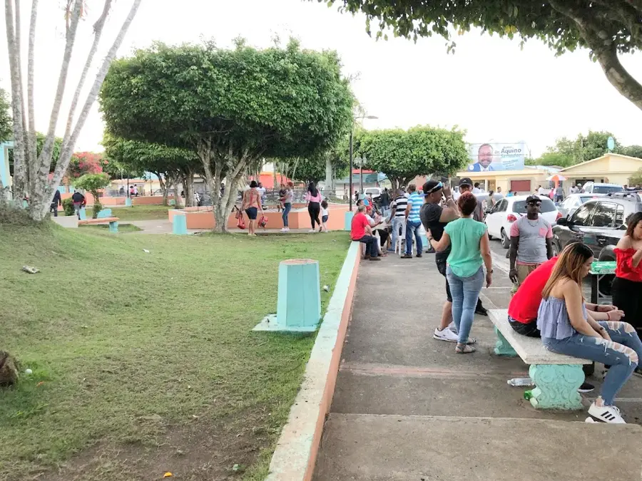
- This is a traditional agricultural town, so respect the local pace of life and dress modestly when walking around the center.
- Public transportation is limited to local guaguas (minibuses) to Azua city; always check the departure schedules.
- It's a great base if you plan to explore the surrounding rural landscapes and farms.
🍽 Food
Stewed goat, a regional specialty in the South.
Local homemade sweets sold at small stalls.
Plantain mash with cheese, salami, and eggs at local comedores.
🛍 Shopping · 🧘 Quiet spots
For fresh, locally grown produce.
For basic supplies and cold Presidentes.
Ask locals for safe walking paths.
Especially peaceful in the late afternoon.
Water temperature…
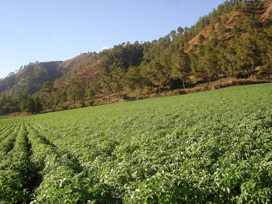
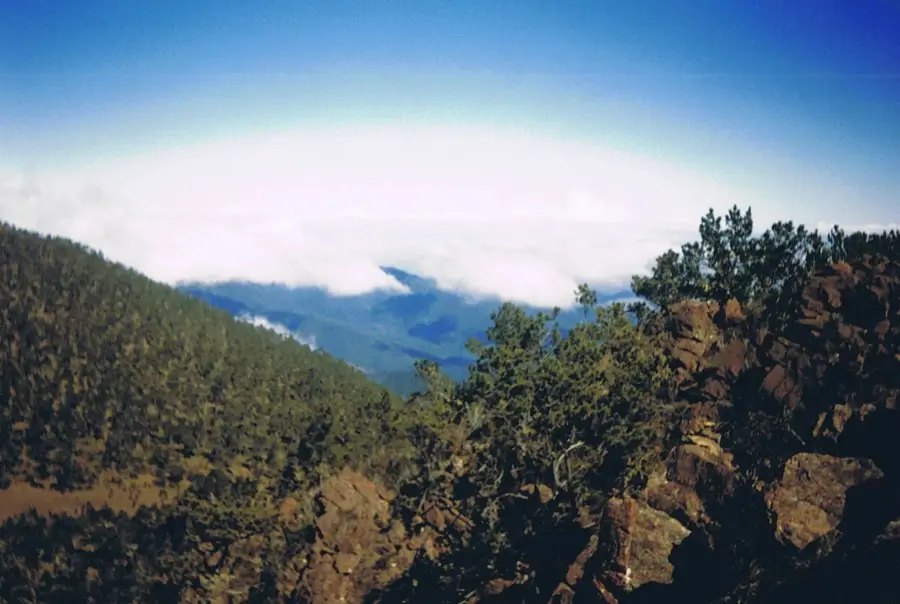
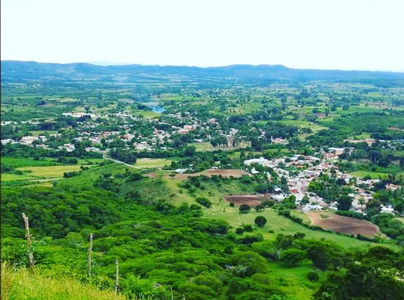
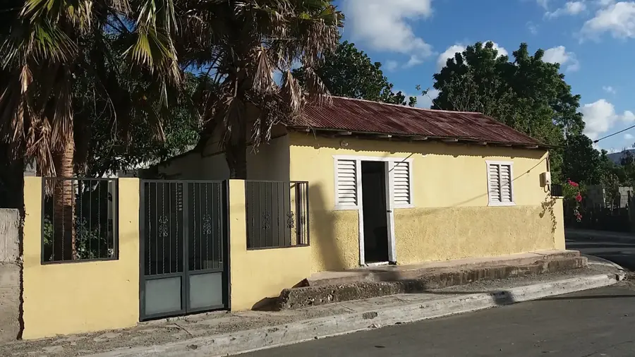
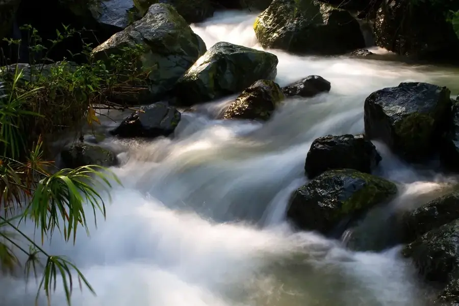
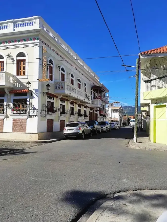
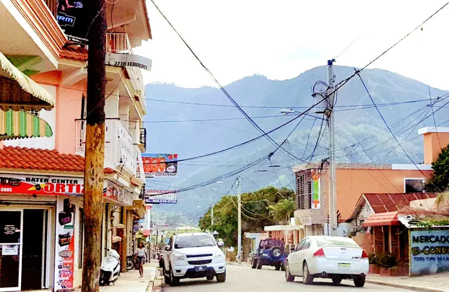
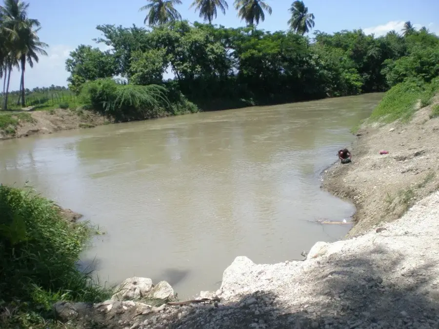
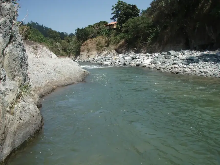
Tábara Arriba is a photogenic mountain municipality located in the northern part of the Azua province in the Dominican Republic. The geography of the area is defined by the foothills of the Cordillera Central, resulting in a cooler climate than that of the coastal plains. The local economy relies almost entirely on agriculture, with the production of coffee, cocoa, and tobacco playing a central role. Additionally, cattle ranching is a vital source of livelihood for many families throughout the region. The municipality is noted for its pristine natural environment and the numerous streams that crisscross the mountainous terrain. In recent years, Tábara Arriba has made strides in promoting ecotourism to showcase the natural beauty of the central mountain range to visitors. Residents maintain traditional rural customs, which are reflected in their music and culinary habits. Despite its remote location, the town is linked by rural roads to the province's larger commercial centers.
- Location: Dominican Republic
- Nearby: Pueblo Viejo (6 km)
- Population: ~3.736 (2016)
Best time to visit & climate
The most pleasant time to visit is Jan, Feb, Dec.
| Jan | Feb | Mar | Apr | May | Jun | Jul | Aug | Sep | Oct | Nov | Dec | |
|---|---|---|---|---|---|---|---|---|---|---|---|---|
| Avg °C | 24 | 24 | 25 | 26 | 26 | 26 | 27 | 27 | 27 | 26 | 25 | 24 |
| Rain mm | 19 | 18 | 25 | 41 | 67 | 42 | 43 | 69 | 48 | 74 | 63 | 33 |
Geography
Facts
- Tábara Arriba was officially elevated to a municipality on January 20, 2004.
- The town is situated at an average elevation of about 400 meters above sea level.
- The Tábara River serves as the primary water source for local irrigation.
- Coffee from this region is prized for its aroma due to the high-altitude conditions.
- The climate is subtropical moist, featuring distinct rainy seasons.
- The municipality borders the San Juan province to the north.
Explore nearby
Notable places around
Route planner — Car & Motorhome
Where do you start? We build the route here, with stops and country notes along the way.
© OpenStreetMap contributors · OpenRouteService
Frequently asked questions
What characterizes Tábara Arriba?
What is mainly grown here?
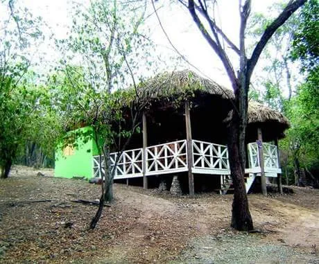
Are there nature excursion spots?
What is social life like?
Do you need a 4x4 vehicle?
Tábara Arriba: where is it located?
Tábara Arriba: when is the best time to visit?
Tábara Arriba: why is it worth visiting?

Nearby cities
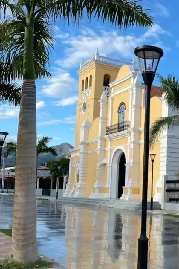
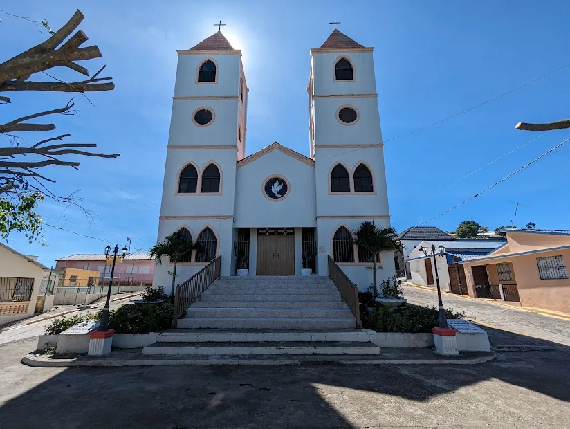
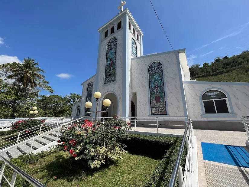


History & landmarks
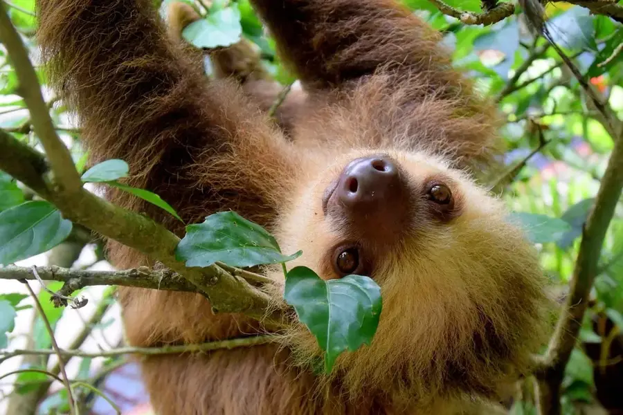
Nature
More places